 Block
Fairbank, Iowa
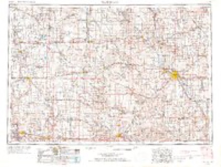
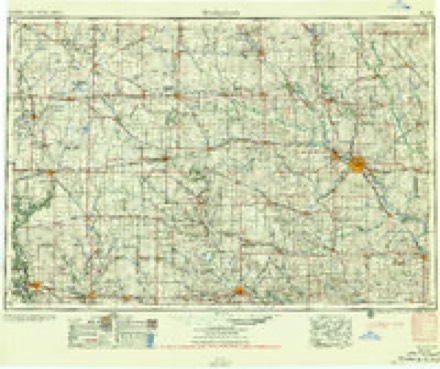
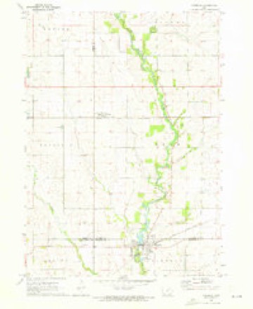
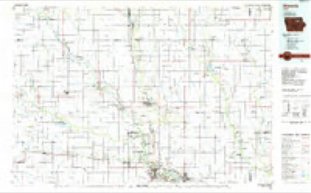
9 topographic sheets cover this place, the earliest surveyed in 1954 and the latest in 1984. It stands in Fairbank Township. It lies in ZIP code area 50629. The Survey maps it on the Fairbank quadrangle.
Topographic sheets covering this place
4 surveys from 9 printed sheetsMatched by testing this settlement's coordinate against the published boundary of every sheet in the United States Geological Survey's historical collection. Each opens the scanned sheet at the Survey.
- 1954 USGS Waterloo quadrangle1:250000, 4 printings
- 1955 USGS Waterloo quadrangle1:250000, 2 printings
- 1971 USGS Fairbank quadrangle1:24000
- 1984 USGS Waverly quadrangle1:100000, 2 printings
Fires near this place
6 since 2004Regional context, not property-specific evidence. The federal wildfire occurrence database lists 6 fires within 5 miles of Fairbank between 2004 and 2015, burning about 194 acres in total. None started naturally. None was recorded as arson. Distance is straight-line from the map coordinates, so a fire counted here may appear on a neighbouring settlement's page as well.
| Reported cause | Fires |
|---|---|
| Missing data/not specified/undetermined | 4 |
| Equipment and vehicle use | 1 |
| Debris and open burning | 1 |
The most recent of them, most recent first, with the day each was reported and the service that recorded it.
| Date | Cause | Size | Reported by | Name on the report |
|---|---|---|---|---|
| 19 July 2013 | Debris and open burning | 1.0 acres | Iowa Department of Natural Resources | not named |
| 5 June 2011 | Missing data/not specified/undetermined | 1.0 acres | Iowa Department of Natural Resources | 21858 40TH ST OELWEIN, IA 50662, IA |
| 24 April 2009 | Missing data/not specified/undetermined | 1.5 acres | Iowa Department of Natural Resources | not named |
| 10 April 2004 | Missing data/not specified/undetermined | 20 acres | Iowa State Fire Marshal's Office | not named |
| 28 November 2008 | Missing data/not specified/undetermined | 50 acres | Iowa Department of Natural Resources | not named |
| 19 October 2015 | Equipment and vehicle use | 120 acres | Iowa Department of Natural Resources | not named |
Settlements close enough to share some of these fires:
Mines and quarries near this place
7 within 5 milesRegional context, not property-specific evidence. The federal mineral resources record lists 7 workings within 5 miles of Fairbank: 6 past producers, 1 producer. 1 still produces. What was taken out: Sand and Gravel, Construction, Stone, Crushed/Broken. Distance is straight-line from the map coordinates, so a quarry counted here may appear on a neighbouring settlement's page as well.
| Where | Site | Commodity | Status | Recorded |
|---|---|---|---|---|
| Fairbank Quarry | Stone, Crushed/Broken | Producer | ||
| Levendusky Quarry | Stone, Crushed/Broken | Past Producer | ||
| Unknown | Stone, Crushed/Broken | Past Producer | ||
| Oran Pit | Sand and Gravel, Construction | Past Producer | ||
| Unknown | Sand and Gravel, Construction | Past Producer | ||
| Unknown | Sand and Gravel, Construction | Past Producer | ||
| Unknown | Sand and Gravel, Construction | Past Producer |
Storms near this place
50 since 1995Regional context, not property-specific evidence. The National Weather Service names Fairbank in 50 storm reports between 1995 and 2024: 19 thunderstorm wind, 14 hail, 7 flash flood, 6 flood. The reports record 4 injuries. Each account below is quoted exactly as the forecast office filed it, from the NOAA Storm Events Database, and each date opens the federal record of that event.
| When | Event | Place named | Harm | What the report says |
|---|---|---|---|---|
| May 2008 | Tornado (EF3) | Fairbank | 3 hurt, $1,000,000 | A tornado developed just east of the county lines southwest of Fairbank and moved east. The tornado cross the southern part of Hazelton and continued east into Delaware County. Over ten homes, about 50 non-anchored mobile homes at a dealership, and numerous outbuildings were destroyed. Several other homes sustained structural damage. Numerous trees and utility poles were also blown down. An SUV was flipped over in Hazelton injuring the driver and some passengers. |
| June 1997 | Thunderstorm Wind | Fairbank | 1 hurt | Man struck by falling tree when he went outside to check on his dog during the storm. Numerous trees and power lines were also downed across Fairbank. |
| July 2010 | Flood | Fairbank | $500,000 | Due to intense mitigation efforts over the last decade, the impact of flooding along the Wapsipinicon River was minimal, limited primarily to parks in Independence. |
| July 2010 | Flood | Fairbank | $500,000 | Meanwhile, In Lamont the South Fork Maquoketa River and Lamont Creek flooded for the second time in 2 days, affecting several businesses and up to 200 homes (primarily with basement flooding).||About 20 other homes around Buchanan County were also affected, including some in Winthrop along Buffalo Creek. |
| September 2016 | Flood | Fairbank | $100,000 | Heavy rainfall of 4 to over 10 inches over significant areas from 21 to 23 September in extreme North Central and Northeast Iowa moved downstream causing the Wapsipinicon River to rise above major flood stage levels. ||Independence rose above its major flood stage level of 15.0 feet on September 24th, 2016 at approximately 9 AM CST. It crested around 19.4 feet at approximately 11 AM CST on September 25th, 2016. It fell below major flood stage on September 26th around 11 PM CST. |
| July 2010 | Flash Flood | Fairbank | $50,000 | Heavy rains resulted in flash flooding over parts of northern Buchanan County during the morning and early afternoon hours of July 7. Water was over a road about 1 mile south of Hazleton, IA. Highway 150 was closed due to the flood waters near 110th Street near the Buchanan-Fayette county line. In addition, the Little Wapsipinicon River was out of its banks and flooding Siggelkov Park in Fairbank, IA. |
| July 2003 | Thunderstorm Wind | Fairbank | $50,000 | Also reported by law enforcement |
| July 2003 | Thunderstorm Wind | Fairbank | $50,000 | 4 to 5 inch branches down |
| June 1997 | Thunderstorm Wind | Fairbank | $50,000 | Considerable damage was done to area football grandstands, a baseball batting cage, and a pressbox. Damage also reported to several roofs and cars. |
| June 2010 | Thunderstorm Wind | Fairbank | $25,000 | Wind gusts estimated to be 70 mph blew down several trees in Fairbank, IA around 245 am June 23. One tree fell onto a house. |
| July 2017 | Flood | Fairbank | $5,000 | The local COOP observer reported sandbagging at Costas and Johns Trucks. Many roads were impassable due to the 10 plus inches of rain which was reported to have fallen upstream. |
| March 2006 | Hail | Fairbank | $5,000 | nickel to quarter sized hail; hail 1 inch deep on ground |
| June 2004 | Flash Flood | Fairbank | $4,000 | On Highway 281 between the Junction of W13 and Highway 150. |
| July 1995 | Hail | Fairbank | $2,000 | no account filed |
| May 2000 | Thunderstorm Wind | Fairbank | $1,000 | no account filed |
| August 2005 | Thunderstorm Wind | Fairbank | $500 | General public reported tree branches down with wind estimated over 60 mph. |
| May 2024 | Thunderstorm Wind | Fairbank | - | Roofs blown off multiple homes in Fairbank. Time estimated from radar data. |
| June 2023 | Thunderstorm Wind | Fairbank | - | Several large tree branches around 6 inches in diameter blown down, and blocking driveway. |
| July 2022 | Tornado (EFU) | Fairbank | - | Emergency Management reported a brief tornado in an open field, just east of Fairbank. There was no observed damage to assign an EF-scale rating. |
| August 2021 | Thunderstorm Wind | Fairbank | - | Several large tree limbs blown down. |
| June 2019 | Thunderstorm Wind | Fairbank | - | A trained spotter reported large, 12 inch diameter, tree branch blown down. The time of the event was estimated using radar. |
| June 2018 | Flash Flood | Fairbank | - | Widespread flash flooding began in Buchanan county near Independence, with low lying areas flooded and some road closures on the east side of Independence. Flooding of gravel roads was reported about 1030 PM, 3 miles south of the Winthrop Golf Course. At 1128 PM, flash flooding caused multiple road closures in northern Buchanan county. |
| July 2017 | Thunderstorm Wind | Fairbank | - | Local law enforcement reported tree branches were blown down. |
| June 2015 | Thunderstorm Wind | Fairbank | - | A tree was reported down across Amish Blvd. |
| April 2014 | Hail | Fairbank | - | A public report of nickel sized hail reported in Fairbank by the son of a COOP Observer. |
| June 2009 | Thunderstorm Wind | Fairbank | - | Wind gusts were estimated to be 60 to 70 mph in Fairbank, IA around 445 pm June 23. |
| May 2008 | Hail | Fairbank | - | Nickel-sized hail fell just west of Fairbank, IA around 5:50 pm. |
| June 2008 | Hail | Fairbank | - | The fire department at Fairbank reported hail ranging in size from penny to golf ball, which fell for about 10 minutes. |
| March 2007 | Thunderstorm Wind | Fairbank | - | Large tree blown down across a highway. |
| June 2003 | Hail | Fairbank | - | 5 minute duration |
| May 2000 | Tornado (F0) | Fairbank | - | A weak tornado, which produced no damage in Buchanan County, moved into the extreme northwest part of the county from Black Hawk County around 8 pm CDT. The tornado was rated an F0 with an estimated path length of 2 miles. This is likely the decaying stage of the tornado which hit Dunkerton in Black Hawk County. |
| August 1999 | Flood | Fairbank | - | 1.57 inches of rain in 30 minutes produced some yard flooding. |
| April 1999 | Thunderstorm Wind | Fairbank | - | Seven power poles were blown down. |
| May 1999 | Flash Flood | Fairbank | - | Flooding made the Fairbank Bridge impassable. |
| May 1999 | Flood | Fairbank | - | Heavy rain caused tremendous urban flooding in Fairbank, with numerous alleys and yards flooded. |
| May 1999 | Flash Flood | Fairbank | - | Highway 281 was closed due to flooding, and a truck dealership and restaurant were under high water. |
| June 2001 | Tornado (F0) | Fairbank | - | no account filed |
| May 2000 | Thunderstorm Wind | Fairbank | - | no account filed |
| May 2000 | Thunderstorm Wind | Fairbank | - | no account filed |
| May 2000 | Flash Flood | Fairbank | - | no account filed |
| May 2000 | Hail | Fairbank | - | no account filed |
| May 2000 | Flash Flood | Fairbank | - | no account filed |
| May 1999 | Hail | Fairbank | - | no account filed |
| May 1999 | Hail | Fairbank | - | no account filed |
| May 1999 | Hail | Fairbank | - | no account filed |
| May 1999 | Hail | Fairbank | - | no account filed |
| May 1999 | Hail | Fairbank | - | no account filed |
| June 1998 | Thunderstorm Wind | Fairbank | - | no account filed |
| May 1998 | Hail | Fairbank | - | no account filed |
| May 1998 | Hail | Fairbank | - | no account filed |
Nearest settlements
The eight closest, with where each one stands in the county. Distances are straight-line, computed from the Geographic Names Information System coordinates.
| Map | Place | Distance | Sheets |
|---|---|---|---|
| Littleton | 7.4 miles | 9 | |
| Hazleton | 7.9 miles | 12 | |
| Bryantsburg | 8.7 miles | 12 | |
| Otterville | 10.5 miles | 12 | |
| Wise | 10.9 miles | 9 | |
| Jesup | 11.3 miles | 9 | |
| Stanley | 12.4 miles | 12 | |
| Independence | 14.4 miles | 11 |
Provenance
This settlement is recorded in the Geographic Names Information System as feature 456462. The sheet list is computed by point-in-boundary test against the United States Geological Survey's historical topographic inventory. Both are works of the United States government and carry no copyright under 17 U.S.C. 105.
Wildfire. Short, Karen C. 2022. Spatial wildfire occurrence data for the United States, 1992-2020 [FPA_FOD_20221014]. 6th Edition. Fort Collins, CO: Forest Service Research Data Archive. https://doi.org/10.2737/RDS-2013-0009.6 Collected with United States Government funding and usable without additional permissions or fees.
Mines and quarries. USGS Mineral Resources Data System (MRDS) https://mrdata.usgs.gov/mrds/ A work of the United States government, no copyright under 17 U.S.C. 105.
Storms. NOAA National Centers for Environmental Information, Storm Events Database https://www.ncei.noaa.gov/stormevents/ A work of the United States government, no copyright under 17 U.S.C. 105. Narratives are quoted verbatim from the National Weather Service report and are not edited or summarised.