 Block
Jesup, Iowa
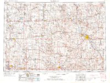
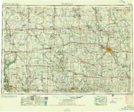
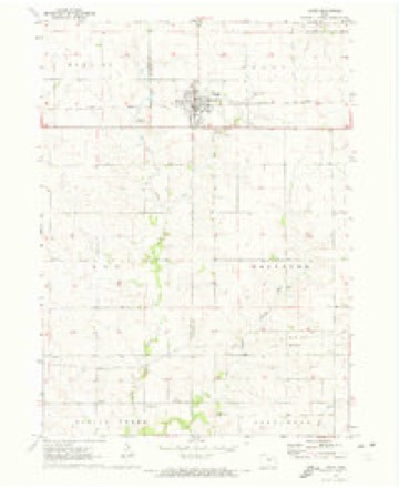
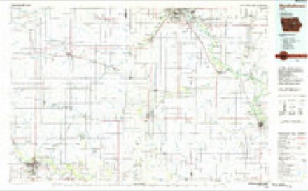
9 topographic sheets cover this place, the earliest surveyed in 1954 and the latest in 1984. It stands in Perry Township. It lies in ZIP code area 50648. The Survey maps it on the Jesup quadrangle.
Topographic sheets covering this place
4 surveys from 9 printed sheetsMatched by testing this settlement's coordinate against the published boundary of every sheet in the United States Geological Survey's historical collection. Each opens the scanned sheet at the Survey.
- 1954 USGS Waterloo quadrangle1:250000, 4 printings
- 1955 USGS Waterloo quadrangle1:250000, 2 printings
- 1971 USGS Jesup quadrangle1:24000
- 1984 USGS Marshalltown quadrangle1:100000, 2 printings
Fires near this place
13 since 2006Regional context, not property-specific evidence. The federal wildfire occurrence database lists 13 fires within 5 miles of Jesup between 2006 and 2020, burning about 111 acres in total. None started naturally. None was recorded as arson. Distance is straight-line from the map coordinates, so a fire counted here may appear on a neighbouring settlement's page as well.
| Reported cause | Fires |
|---|---|
| Missing data/not specified/undetermined | 6 |
| Debris and open burning | 6 |
| Equipment and vehicle use | 1 |
The most recent of them, most recent first, with the day each was reported and the service that recorded it.
| Date | Cause | Size | Reported by | Name on the report |
|---|---|---|---|---|
| 7 August 2020 | Debris and open burning | under an acre | Iowa Department of Natural Resources | not named |
| 31 August 2020 | Debris and open burning | under an acre | Iowa Department of Natural Resources | not named |
| 8 May 2020 | Debris and open burning | under an acre | Iowa Department of Natural Resources | not named |
| 5 April 2020 | Debris and open burning | 1.0 acres | Iowa Department of Natural Resources | not named |
| 4 April 2020 | Debris and open burning | 2.0 acres | Iowa Department of Natural Resources | not named |
| 16 April 2007 | Missing data/not specified/undetermined | under an acre | Iowa Department of Natural Resources | not named |
| 15 April 2006 | Missing data/not specified/undetermined | 1.0 acres | Iowa Department of Natural Resources | not named |
| 14 April 2008 | Missing data/not specified/undetermined | 20 acres | Iowa Department of Natural Resources | not named |
Settlements close enough to share some of these fires:
Mines and quarries near this place
7 within 5 milesRegional context, not property-specific evidence. The federal mineral resources record lists 7 workings within 5 miles of Jesup: 4 past producers, 3 producers. 3 still produce. What was taken out: Stone, Crushed/Broken, Sand and Gravel, Construction. Distance is straight-line from the map coordinates, so a quarry counted here may appear on a neighbouring settlement's page as well.
| Where | Site | Commodity | Status | Recorded |
|---|---|---|---|---|
| Unknown | Sand and Gravel, Construction | Past Producer | ||
| Unknown | Sand and Gravel, Construction | Past Producer | ||
| Unknown | Sand and Gravel, Construction | Past Producer | ||
| Bloom Quarry | Stone, Crushed/Broken | Producer | ||
| Fox Quarry | Stone, Crushed/Broken | Producer | ||
| Franta Quarry | Stone, Crushed/Broken | Producer | ||
| Jacobsen Farm | Stone, Crushed/Broken | Past Producer |
Storms near this place
47 since 1998Regional context, not property-specific evidence. The National Weather Service names Jesup in 47 storm reports between 1998 and 2026: 18 thunderstorm wind, 18 hail, 4 heavy rain, 3 flash flood. No death or injury is recorded in these reports. Each account below is quoted exactly as the forecast office filed it, from the NOAA Storm Events Database, and each date opens the federal record of that event.
| When | Event | Place named | Harm | What the report says |
|---|---|---|---|---|
| June 1998 | Tornado (F2) | Jesup | $800,000 | A farm south of Jesup sustained massive damage from a tornado and severe thunderstorm winds which passed across Buchanan County. Most of the out buildings were damaged or destroyed and every tree on the farm was lost. A double car garage was blown into a cornfield, the tool shed was pushed off it's foundation, gas barrels were gone, and a Morton Building was destroyed. There was also serious damage to the the barn roof. In the home glass was driven into the woodwork. Closet doors and the access door to the attic were blown off, and attic insulation was driven down into the house. At another farm three grain wagons were lifted off the ground. One landed vertically across the road in a ditch and another landed in a ditch near the farmhouse. Shingles and shutters were blown off this house, and 60 feet of roof was torn off the cattle shed. At the Cedar Crest and St Athansius Cemetaries east of Jesup 46 trees were destroyed. |
| June 2010 | Thunderstorm Wind | Jesup | $50,000 | Wind gusts estimated to be 70 mph snapped or uprooted several large trees in Jesup, IA at 245 am CDT June 23. The local fire department assessed a swath of damage about 2 miles long and 200 feet wide. Some of the trees landed on outbuildings, fences, and houses. In addition, some buildings in an industrial park were damaged and some houses lost shingles. |
| July 2003 | Hail | Jesup | $50,000 | no account filed |
| May 2000 | Thunderstorm Wind | Jesup | $5,000 | A large tree was blown down by high winds. |
| April 2006 | Thunderstorm Wind | Jesup | $1,000 | no account filed |
| April 2026 | Hail | Jesup | - | Report received from Mping. |
| April 2026 | Hail | Jesup | - | The time was estimated from radar data. |
| July 2025 | Thunderstorm Wind | Jesup | - | A trained spotter reported a 12 inch diameter branch down from a silver maple tree. The time of the event was estimated using radar. |
| July 2025 | Thunderstorm Wind | Jesup | - | A public report of broken tree branches estimated to be 4 inches in diameter. Another tree was uprooted. Time of the event was estimated using radar. |
| July 2023 | Thunderstorm Wind | Jesup | - | Several 6 inch diameter tree limbs downed. |
| July 2023 | Thunderstorm Wind | Jesup | - | A trained spotter reported a 60 mph wind gust with the thunderstorm. |
| March 2020 | Tornado (EF1) | Jesup | - | A tornado touched down north of Jesup, Iowa about 615 PM CDT, March 28th. The tornado moved northeast and caused damage to outbuildings and a barn, and uprooted trees at a farmstead. The tornado was on the ground for about 10 minutes, and traveled a little more than 7 miles. The tornado was rated EF-1, with maximum winds around 90 mph. |
| September 2020 | Thunderstorm Wind | Jesup | - | Power lines were blown down in Jesup. This report was relayed through broadcast media. |
| May 2020 | Flash Flood | Jesup | - | Water was over the road at U.S. 150 and 150th Street, and U.S. 150 and 140th Street. Hunter Creek is well out of its banks by Jamestown Ave and Otterville Blvd. Rural flooding was reported as well. |
| May 2017 | Thunderstorm Wind | Jesup | - | A public report was received of estimated wind gusts to 65 mph. |
| July 2016 | Thunderstorm Wind | Jesup | - | Local media report of an empty grain bin that was destroyed and blown into another structure. |
| July 2016 | Thunderstorm Wind | Jesup | - | The fire department reported a grain bin was destroyed with another having its side pushed in by the wind. |
| June 2015 | Thunderstorm Wind | Jesup | - | Small limbs were reported down with 50 to 60 mph wind gusts. |
| June 2015 | Thunderstorm Wind | Jesup | - | A large tree limb fell over power line, which caused power outage. |
| June 2014 | Thunderstorm Wind | Jesup | - | A large tree was blown down on a neighbors property. |
| July 2012 | Hail | Jesup | - | A trained spotter reported pea to dime size hail falling for 10 minutes near Jesup. |
| June 2011 | Hail | Jesup | - | Quarter sized hail fell in Jesup, IA at 556 pm CDT June 8. |
| June 2011 | Hail | Jesup | - | Half dollar sized hail fell in Jesup, IA at 557 pm CDT June 8. |
| April 2010 | Hail | Jesup | - | Non-severe hail (<1.0) fell near Jesup, IA at 430 pm April 6. The hail started to cover the ground. |
| April 2010 | Hail | Jesup | - | Non-severe hail (<1.0) fell in Jesup, IA at 437 pm April 6. |
| April 2010 | Hail | Jesup | - | Non-severe hail (<1.0) fell in Jesup, IA at 428 pm April 6. |
| April 2009 | Hail | Jesup | - | Three-quarter inch hail fell for about 2 minutes in Jesup, IA around 930 pm. |
| April 2009 | Flash Flood | Jesup | - | Heavy rains of 1 to 3 inches fell across the area on April 26. Flash flooding of several fields, waterways, and ditches along Highway 20 from just south of Jesup, IA to the Winthrop-Quasqueton exit was observed between 8 and 9 pm. |
| July 2009 | Thunderstorm Wind | Jesup | - | Wind gusts estimated to be 60 mph blew down several large tree limbs across Jesup, IA around 415 am July 10. Tree damage was observed at a residence near Church Street and Main Street as well as at the Even residence. In addition, tents set up in the park for Farmers Day were blown down. |
| April 2007 | Flash Flood | Jesup | - | Four inches of water was covering streets within the city. |
| March 2007 | Thunderstorm Wind | Jesup | - | Fire department reported large barn damaged by straight line winds near Jesup. |
| April 2006 | Hail | Jesup | - | dime to nickel size hail |
| June 2004 | Heavy Rain | Jesup | - | In the past hour |
| June 2004 | Heavy Rain | Jesup | - | Water ponding on Highway 939 |
| June 2004 | Heavy Rain | Jesup | - | Storm sewers cannot handle heavy rain; water ponding on streets |
| April 2002 | Thunderstorm Wind | Jesup | - | High winds toppled a building, which was under construction. |
| July 2001 | Flood | Jesup | - | Several streets flooded. Reported by law enforcement. |
| July 2001 | Flood | Jesup | - | Small creek out of it's banks just west of Jesup, with water covering a county road. Reported by emergency management. |
| July 2001 | Heavy Rain | Jesup | - | 2.04 inches of rain fell in 90 minutes. Reported by emergency management. |
| September 2000 | Hail | Jesup | - | Hail lasted for five minutes. |
| April 2000 | Hail | Jesup | - | Golfball-sized hail reported by media. |
| June 2017 | Hail | Jesup | - | no account filed |
| September 2014 | Hail | Jesup | - | no account filed |
| April 2014 | Hail | Jesup | - | no account filed |
| July 2009 | Hail | Jesup | - | no account filed |
| July 2007 | Thunderstorm Wind | Jesup | - | no account filed |
| September 2000 | Hail | Jesup | - | no account filed |
Nearest settlements
The eight closest, with where each one stands in the county. Distances are straight-line, computed from the Geographic Names Information System coordinates.
| Map | Place | Distance | Sheets |
|---|---|---|---|
| Wise | 2.2 miles | 9 | |
| Littleton | 4.5 miles | 9 | |
| Vista | 5.9 miles | 11 | |
| Shady Grove | 6.6 miles | 9 | |
| Otterville | 6.6 miles | 12 | |
| Independence | 9.3 miles | 11 | |
| Bryantsburg | 10.8 miles | 12 | |
| Fairbank | 11.3 miles | 9 |
Provenance
This settlement is recorded in the Geographic Names Information System as feature 457950. The sheet list is computed by point-in-boundary test against the United States Geological Survey's historical topographic inventory. Both are works of the United States government and carry no copyright under 17 U.S.C. 105.
Wildfire. Short, Karen C. 2022. Spatial wildfire occurrence data for the United States, 1992-2020 [FPA_FOD_20221014]. 6th Edition. Fort Collins, CO: Forest Service Research Data Archive. https://doi.org/10.2737/RDS-2013-0009.6 Collected with United States Government funding and usable without additional permissions or fees.
Mines and quarries. USGS Mineral Resources Data System (MRDS) https://mrdata.usgs.gov/mrds/ A work of the United States government, no copyright under 17 U.S.C. 105.
Storms. NOAA National Centers for Environmental Information, Storm Events Database https://www.ncei.noaa.gov/stormevents/ A work of the United States government, no copyright under 17 U.S.C. 105. Narratives are quoted verbatim from the National Weather Service report and are not edited or summarised.