 Block
Andalusia, Illinois
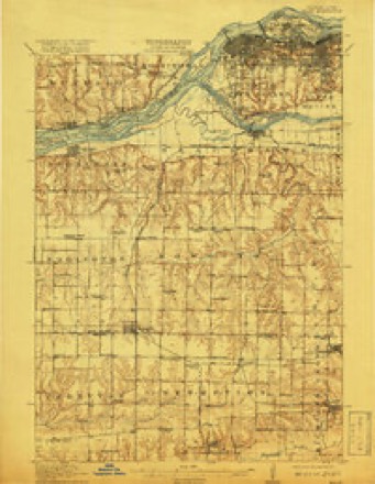
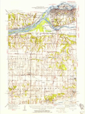
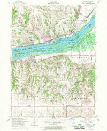
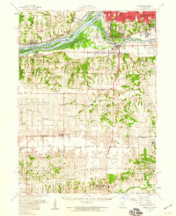
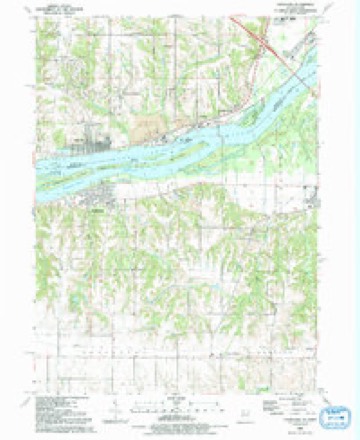
19 topographic sheets cover this place, the earliest surveyed in 1912 and the latest in 1991. It stands in Andalusia Township. It lies in ZIP code area 61232. It stands on Hills Creek. The Survey maps it on the Andalusia quadrangle.
Topographic sheets covering this place
10 surveys from 19 printed sheetsMatched by testing this settlement's coordinate against the published boundary of every sheet in the United States Geological Survey's historical collection. Each opens the scanned sheet at the Survey.
- 1912 USGS Milan quadrangle1:62500, 7 printings
- 1944 USGS Milan quadrangle1:62500
- 1953 USGS Andalusia quadrangle1:24000, 3 printings
- 1953 USGS Milan quadrangle1:62500
- 1958 USGS Davenport quadrangle1:250000, 2 printings
- 1961 USGS Davenport quadrangle1:250000
- 1962 USGS Davenport quadrangle1:250000
- 1984 USGS Aledo quadrangle1:100000
- 1989 USGS Aledo quadrangle1:100000
- 1991 USGS Andalusia quadrangle1:24000





In the county-history sources
1,160 words on this townshipHistoric Rock Island County; History of the Settlement of Rock Island County from the Earliest Known Period to the Present Time ... Embracing References of Importance, and Including a Biography of Rock Island County's Well-known Citizens, published 1908 names this settlement in its chapter on Andalusia Township. These are the passages that mention it, exactly as the scans read.
Andalusia is one of the historic towns of Rock Island Countj-. It is located ou the Mississippi River, about ten miles west of the City of Rock Island. The township has about six miles of frontage on the river, but has less depth, being less than half the size of a congressional to'WTiship. Though small in size it is one of the hustling townships of the county. Its historj^ dates from the earliest settlement of the country. One of the first settlers was Captain B. W. Clark, father of Captain W. L. Clark, of Buffalo, Scott County, Iowa, now the oldest living first settler in the State of Iowa.
Passage source: Historic Rock Island County; History of the Settlement of Rock Island County from the Earliest Known Period to the Present Time ... Embracing References of Importance, and Including a Biography of Rock Island County's Well-known Citizens, published 1908.
A quarter section of land, which forms a part of the present town plat of Andalusia, was entered by Captain B. W. Clark, and in the fall of 1832 he built a hewn log house at the west end of what is now the Milage of Andalusia. This house when first built was the only one between that of Joshua YandrufT on Yandruff's Island, at the foot of Black Hawk's Watch Tower, and Erastus Dennison's, at the upper "Yellow Banks," now New Boston. The logs used in Captain Clark's house at Andalusia are still doing good service. They were taken down long years ago and hauled across the river on the ice to the Town of Buffalo, and at the jiresent form, the west half of Henry Springmeier's residence at that place.
Passage source: Historic Rock Island County; History of the Settlement of Rock Island County from the Earliest Known Period to the Present Time ... Embracing References of Importance, and Including a Biography of Rock Island County's Well-known Citizens, published 1908.
John \'anaita, during the fall of 1834. This was afterwards bought and occupied by Jonathan Buffum, and for half a century was known as the old BufTum place, now owned by A. Hofer. This same fall Mr. Dunlap, Daniel and John Edgington came to this part of the new west and located lands just south of Andalusia. They soon returned to Ohio, and in the spring of 1835 chartered a boat and brought their families and household goods and became permanent residents. The}' also brought with them the elder McXutt and his son John, a carpenter; Moses and Charles Titterington and two other brothers and their families; also Charles and Harr}' Eberhart and families, and Adolph Dunlap, a noted gunsmith. James Robison and the Parmenters came a little later.
Passage source: Historic Rock Island County; History of the Settlement of Rock Island County from the Earliest Known Period to the Present Time ... Embracing References of Importance, and Including a Biography of Rock Island County's Well-known Citizens, published 1908.
Machine-read from a century-old scan, so expect the errors a machine makes: misspelled names, dropped words, stray characters.
Read the whole chapter on Andalusia Township - it names this place 2 more 2 times.
Fires near this place
3 since 2009Regional context, not property-specific evidence. The federal wildfire occurrence database lists 3 fires within 5 miles of Andalusia between 2009 and 2011, burning about 1 acre in total. None started naturally. None was recorded as arson. Distance is straight-line from the map coordinates, so a fire counted here may appear on a neighbouring settlement's page as well.
| Reported cause | Fires |
|---|---|
| Missing data/not specified/undetermined | 2 |
| Power generation/transmission/distribution | 1 |
The most recent of them, most recent first, with the day each was reported and the service that recorded it.
| Date | Cause | Size | Reported by | Name on the report |
|---|---|---|---|---|
| 30 May 2009 | Missing data/not specified/undetermined | under an acre | Illinois Division of Forestry Resources | HOLLOW |
| 27 May 2010 | Power generation/transmission/distribution | under an acre | Illinois Division of Forestry Resources | COUNTY |
| 9 October 2011 | Missing data/not specified/undetermined | 1.0 acres | Iowa Department of Natural Resources | 1687 HWY J-22, IA |
Settlements close enough to share some of these fires:
Mines and quarries near this place
5 within 5 milesRegional context, not property-specific evidence. The federal mineral resources record lists 5 workings within 5 miles of Andalusia: 5 producers. All of them still produce. What was taken out: Stone, Crushed/Broken, Salt, Calcium. Distance is straight-line from the map coordinates, so a quarry counted here may appear on a neighbouring settlement's page as well.
| Where | Site | Commodity | Status | Recorded |
|---|---|---|---|---|
| Cargill Salt Terminal Sa | Salt | Producer | ||
| Linwood Lime Plant | Calcium | Producer | ||
| Davenport Quarry | Stone, Crushed/Broken | Producer | ||
| Linwood Stone Products Mine & Mill | Stone, Crushed/Broken | Producer | ||
| Martin Marietta-Buffalo Cement Plnt | Stone, Crushed/Broken | Producer |
Storms near this place
24 since 2001Regional context, not property-specific evidence. The National Weather Service names Andalusia in 24 storm reports between 2001 and 2025: 9 thunderstorm wind, 8 hail, 3 flood, 3 tornado. No death or injury is recorded in these reports. Each account below is quoted exactly as the forecast office filed it, from the NOAA Storm Events Database, and each date opens the federal record of that event.
| When | Event | Place named | Harm | What the report says |
|---|---|---|---|---|
| July 2003 | Thunderstorm Wind | Andalusia | $50,000 | Trees & power lines down |
| May 2013 | Tornado (EF0) | Andalusia | $40,000 | An EF1 tornado touched down in Andalusia, IL around 445 pm CDT and traveled north-northeast. This weak tornado crossed the Mississippi River into Scott County and moved through eastern sections of Buffalo, IA. Wind speeds were estimated to be 95 mph. Some large trees were snapped and uprooted along the path. Some of the fallen trees fell onto houses. |
| April 2006 | Hail | Andalusia | $5,000 | no account filed |
| June 2025 | Thunderstorm Wind | Andalusia | - | One half of large tree down. Time estimated from radar information. |
| August 2025 | Thunderstorm Wind | Andalusia | - | Several trees were blown down in town, time estimated from radar. |
| July 2024 | Tornado (EF1) | Andalusia | - | An NWS Storm Survey found a tornado touched down northwest of Taylor Ridge in Rock Island County. The tornado damaged trees, dented two large grain bins, and damaged power poles. The tornado then moved into Mercer County around 18:27 CST, about a third of a mile west of US Route 67 on 190th Ave W. In Mercer County, the tornado damaged trees, power poles, and small farm outbuildings. The tornado then moved into Henry County around 18:36 CST, about 0.4 miles south of Camp Creek Road. The tornado continued to damage trees, power poles, and small farm outbuildings, before crossing Interstate 74 and lifting south of Andover. In all three counties (Rock Island, Mercer, Henry) the tornado was rated an EF-1 with maximum winds around 100 mph. |
| April 2023 | Tornado (EF1) | Andalusia | - | A brief tornado caused sporadic damage to power poles, some trees, and some houses on its 1 mile path. Estimated max wind speeds of 105 mph. |
| July 2020 | Thunderstorm Wind | Andalusia | - | A large tree branch reported down in Andalusia on social media. |
| May 2019 | Flood | Andalusia | - | The Mississippi River at Rock Island Lock and Dam 15 rose above its major flood stage of 18 feet during the afternoon of May 27th and continued into June. The river crested in June, with the stage rising to 21.4 feet at the end of May 31st. |
| February 2017 | Hail | Andalusia | - | A spotter reported dime size hail through social media. |
| July 2017 | Thunderstorm Wind | Andalusia | - | A trained spotter reported wind knocked down a 5 inch in diameter healthy tree branch off a silver maple tree. |
| October 2016 | Thunderstorm Wind | Andalusia | - | An area of damaged trees, including hardwood trunks snapped off were found near the Mississippi River shoreline area of Andalusia Illinois. Survey indicates that this was due to straight line wind gusts. |
| April 2011 | Hail | Andalusia | - | Quarter sized hail fell in Andalusia, IL at 844 pm CDT April 3. |
| May 2010 | Hail | Andalusia | - | Quarter-sized hail fell in Andalusia, IL at 213 pm May 25. |
| May 2008 | Flood | Andalusia | - | The Mississippi River at Rock Island was over its major flood stage level from 12:00 am May 1 until 6:00 am May 4. |
| May 2008 | Flood | Andalusia | - | The Mississippi River at Illinois City was over its major flood stage level from 12:00 am May 1 until 5:00 pm May 5.||The Mississippi River at Muscatine was over its major flood stage level from 12:00 am May 1 until 4:00 am May 5. |
| August 2007 | Thunderstorm Wind | Andalusia | - | Winds estimated to be 60 mph blew down some branches near Andalusia, IL. |
| March 2007 | Hail | Andalusia | - | A spotter reported hail the size of quarters. |
| June 2001 | Flash Flood | Andalusia | - | Water on Illinois Route 92 near the Milan Beltway intersection. Reported by law enforcement. |
| July 2001 | Thunderstorm Wind | Andalusia | - | Dock ripped loose from the shore and boats damaged. Reported by Media. |
| August 2001 | Thunderstorm Wind | Andalusia | - | Thunderstorms winds blew a large tree down across a road. Reported by law enforcement. |
| April 2011 | Hail | Andalusia | - | no account filed |
| June 2002 | Hail | Andalusia | - | no account filed |
| June 2002 | Hail | Andalusia | - | no account filed |
Nearest settlements
The eight closest, with where each one stands in the county. Distances are straight-line, computed from the Geographic Names Information System coordinates.
| Map | Place | Distance | Sheets |
|---|---|---|---|
| Edgington | 4.4 miles | 15 | |
| Taylor Ridge | 4.5 miles | 19 | |
| Milan | 7.8 miles | 23 | |
| Reynolds | 8.0 miles | 18 | |
| Ginger Hill | 8.0 miles | 23 | |
| Oak Grove | 8.0 miles | 23 | |
| Castle Junction | 8.1 miles | 23 | |
| Coyne Center | 8.7 miles | 23 |
Provenance
This settlement is recorded in the Geographic Names Information System as feature 403496. The sheet list is computed by point-in-boundary test against the United States Geological Survey's historical topographic inventory. Both are works of the United States government and carry no copyright under 17 U.S.C. 105.
Wildfire. Short, Karen C. 2022. Spatial wildfire occurrence data for the United States, 1992-2020 [FPA_FOD_20221014]. 6th Edition. Fort Collins, CO: Forest Service Research Data Archive. https://doi.org/10.2737/RDS-2013-0009.6 Collected with United States Government funding and usable without additional permissions or fees.
Mines and quarries. USGS Mineral Resources Data System (MRDS) https://mrdata.usgs.gov/mrds/ A work of the United States government, no copyright under 17 U.S.C. 105.
Storms. NOAA National Centers for Environmental Information, Storm Events Database https://www.ncei.noaa.gov/stormevents/ A work of the United States government, no copyright under 17 U.S.C. 105. Narratives are quoted verbatim from the National Weather Service report and are not edited or summarised.