 Block
Milan, Illinois
23 topographic sheets cover this place, the earliest surveyed in 1912 and the latest in 2000. It stands in Blackhawk Township. It lies in ZIP code area 61264. It lies near Vandruff Island. The Survey maps it on the Milan quadrangle. 5,097 people lived here at the 2020 count. It stands 561 feet above sea level.
On record in Milan
Buildings and businesses the archive holds for this place. Each opens its own page, with the source record it came from.
On the National Register within a mile 1 record
The National Register names another town for these. They stand within one mile of this settlement's coordinate.
 Black Hawk Museum and Lodgelisted 1985 · 0.8 miles away
Population over time
2 figuresMilan fell from 5,099 to 5,097 between 2010 and 2020. These are the recorded population figures Wikidata holds for this place, reached through the Geographic Names Information System number this page is keyed on rather than by name, so they belong to this place and not to another of the same name. Most are census counts, but not all are: an early figure may be a founding or settlement estimate, and an estimate published within five years of a census is left out. The change column is computed, and is left blank where more than 20 years separate a figure from the one before it, because a gap that long is not a change between two counts.
| Year | People | Change |
|---|---|---|
| 2010 | 5,099 | |
| 2020 | 5,097 | -2 (-0%) |
Topographic sheets covering this place
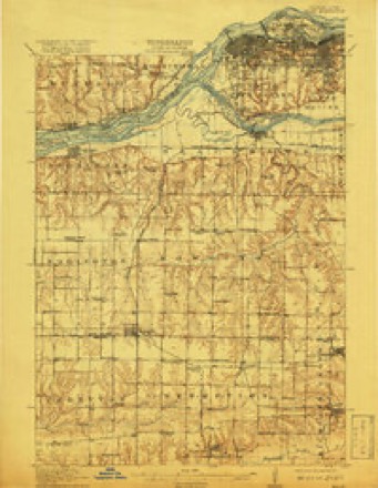
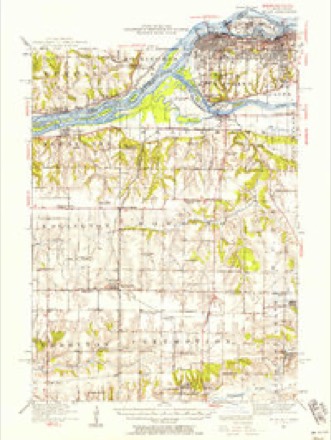
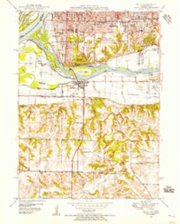
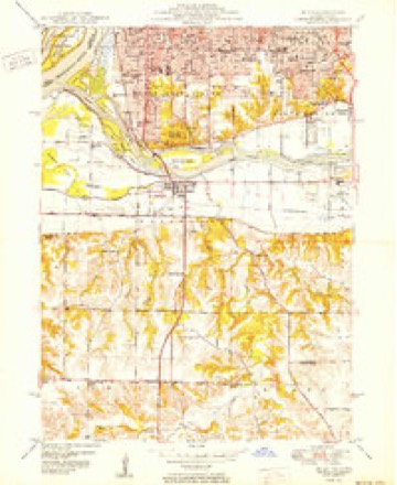
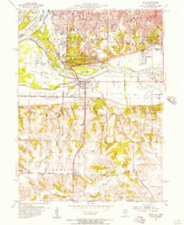
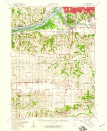
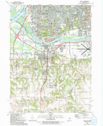
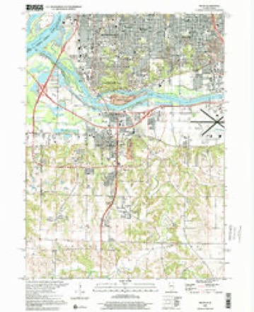
13 surveys from 23 printed sheetsMatched by testing this settlement's coordinate against the published boundary of every sheet in the United States Geological Survey's historical collection. Each opens the scanned sheet at the Survey.
- 1912 USGS Milan quadrangle1:62500, 7 printings
- 1944 USGS Milan quadrangle1:62500
- 1948 USGS Milan quadrangle1:24000
- 1950 USGS Milan quadrangle1:24000, 2 printings
- 1953 USGS Milan quadrangle1:24000, 3 printings
- 1953 USGS Milan quadrangle1:62500
- 1958 USGS Davenport quadrangle1:250000, 2 printings
- 1961 USGS Davenport quadrangle1:250000
- 1962 USGS Davenport quadrangle1:250000
- 1984 USGS Aledo quadrangle1:100000
- 1989 USGS Aledo quadrangle1:100000
- 1992 USGS Milan quadrangle1:24000
- 2000 USGS Milan quadrangle1:24000





Fires near this place
36 since 2008Regional context, not property-specific evidence. The federal wildfire occurrence database lists 36 fires within 5 miles of Milan between 2008 and 2011, burning about 5 acres in total. 2 started naturally. None was recorded as arson. Distance is straight-line from the map coordinates, so a fire counted here may appear on a neighbouring settlement's page as well.
| Reported cause | Fires |
|---|---|
| Missing data/not specified/undetermined | 19 |
| Smoking | 6 |
| Debris and open burning | 5 |
| Power generation/transmission/distribution | 3 |
| Natural | 2 |
| Equipment and vehicle use | 1 |
The most recent of them, most recent first, with the day each was reported and the service that recorded it.
| Date | Cause | Size | Reported by | Name on the report |
|---|---|---|---|---|
| 23 September 2009 | Smoking | under an acre | Illinois Division of Forestry Resources | IDNR2 |
| 16 September 2009 | Smoking | under an acre | Illinois Division of Forestry Resources | I280 11 |
| 11 September 2009 | Debris and open burning | under an acre | Illinois Division of Forestry Resources | IDNR |
| 6 August 2008 | Equipment and vehicle use | under an acre | Illinois Division of Forestry Resources | CANAL |
| 30 August 2010 | Missing data/not specified/undetermined | under an acre | Illinois Division of Forestry Resources | UNION |
| 16 August 2008 | Missing data/not specified/undetermined | 2.0 acres | Illinois Division of Forestry Resources | MM15 |
| 11 August 2008 | Missing data/not specified/undetermined | under an acre | Illinois Division of Forestry Resources | EAST |
| 5 July 2010 | Power generation/transmission/distribution | under an acre | Illinois Division of Forestry Resources | MILAN |
Settlements close enough to share some of these fires:
Mines and quarries near this place
7 within 5 milesRegional context, not property-specific evidence. The federal mineral resources record lists 7 workings within 5 miles of Milan: 3 producers, 3 past producers, 1 plant. 4 still produce. What was taken out: Stone, Crushed/Broken, Sand and Gravel, Construction. Distance is straight-line from the map coordinates, so a quarry counted here may appear on a neighbouring settlement's page as well.
| Where | Site | Commodity | Status | Recorded |
|---|---|---|---|---|
| Big Island Plant #51 Dredge | Sand and Gravel, Construction | Producer | ||
| Builders Sand and Gravel Co. Dredge | Sand and Gravel, Construction | Producer | ||
| General Pit No. 3 Milan Plant | Sand and Gravel, Construction | Past Producer | ||
| Allied Stone Plant #30 | Stone, Crushed/Broken | Plant | ||
| Milan Quarry, Inc. | Stone, Crushed/Broken | Producer | ||
| Rock Island City Eng. | Stone, Crushed/Broken | Past Producer | ||
| U. S. Army Engineers | Stone, Crushed/Broken | Past Producer |
Storms near this place
24 since 1993Regional context, not property-specific evidence. The National Weather Service names Milan in 24 storm reports between 1993 and 2024: 7 hail, 6 thunderstorm wind, 5 flash flood, 2 lightning. The reports record 2 deaths and 1 injury. Each account below is quoted exactly as the forecast office filed it, from the NOAA Storm Events Database, and each date opens the federal record of that event.
| When | Event | Place named | Harm | What the report says |
|---|---|---|---|---|
| June 1999 | Lightning | Milan | 2 killed | A man and woman fishing along the Rock River just east of the U.S. 67 bridge in Milan were struck and killed by lightning. The couple were fishing underneath a tree when the storm rolled in. |
| June 2010 | Lightning | Milan | 1 hurt | Four adults were shocked by a nearby lightning strike at the KOA campground in Rock Island, IL at 454 pm CDT June 23. The Boy Scout leaders were attempting to hold down an awning when the lightning struck. One person complained about a difficulty hearing and was transported to a hospital. |
| June 2009 | Flash Flood | Milan | $50,000 | Heavy rain resulted in flash flooding of some streets just west of the Quad City Airport in Milan, IL during the early evening of June 19. |
| May 2011 | Thunderstorm Wind | Milan | $200 | Wind gusts estimated to be 60 mph blew a trampoline across a street into a neighbor's house about 3 miles south southwest of Rock Island, IL at 1040 am CDT May 29. |
| July 2024 | Thunderstorm Wind | Milan | - | A public report of 4 inch tree limbs down. The time of the event was estimated using radar. |
| April 2024 | Thunderstorm Wind | Milan | - | A public report of several large tree branches down. The time of the event was estimated using radar. |
| April 2023 | Thunderstorm Wind | Milan | - | A public report of roof damage, down trees with the roots exposed and a semi trailer blown over. |
| March 2022 | Thunderstorm Wind | Milan | - | A member of the public reported 60 MPH wind gusts and pea sized hail. |
| July 2019 | Flash Flood | Milan | - | A public report via social media of a flooded road and parking lot near a business. |
| July 2017 | Thunderstorm Wind | Milan | - | A public report was received of 2 to 4 inch in diameter tree limbs were down. |
| July 2009 | Flash Flood | Milan | - | Heavy rains resulted in flash flooding of some streets, including Highway 67, in Milan, IL during the late evening of July 24. |
| July 2009 | Flash Flood | Milan | - | Heavy rains resulted in some flash flooding in Milan, IL during the afternoon hours of July 10. A portion of Highway 67 was flooded with about 1 foot of water over the road. |
| March 2008 | Flood | Milan | - | Record flooding occurred on the Rock River near Moline and Milan Illinois on March 6, 2008. The river was already experiencing major flooding due to the combination of snow melt and heavy precipitation a few days earlier. The stage at the Moline river gage rose to a record crest of 16.38 feet at 830 am CST on March 6, 2008. The previous record was 16.15 feet on April 26, 1973. The main ice jam formed on the newly constructed Veterans Memorial Bridge, or the extension to the Milan Beltway. Nearly 100 homes were quickly evacuated, in some cases by boat because of the already high river levels. |
| February 2008 | Flash Flood | Milan | - | A portion of Interstate 280 at mile marker 15 about 2 miles west of the Quad City International Airport was closed due to water covering the road. An ice jam on the eastbound bridge caused the water to rise rapidly on Mill Creek and flow across the freeway at the bridge approach. Water was flowing 9 inches deep over a 100 foot section of both the east and west bound lanes. A motorist ventured into the floodwaters but hydroplaned and lost control of his vehicle. No one was injured. The Illinois State Police closed the interstate and detoured traffic until 900 am on February 18 when the water finally receded. |
| April 2006 | Hail | Milan | - | Nickel sized hail |
| April 2006 | Heavy Rain | Milan | - | 1.75 inches of rain in the past 30 minutes; 6-8 inches of water running along the curbs. |
| September 2006 | Heavy Rain | Milan | - | Street flooding was reported at the intersection of 4th Avenue and U.S. 67 in town. |
| June 2002 | Flood | Milan | - | Water up to the curb on some streets. |
| April 1995 | Hail | Milan | - | Early morning thunderstorms produced dime-size hail and some tree damage. No dollar amount could be placed on the tree damage, but I would estimate several hundred dollars at most. |
| August 2015 | Hail | Milan | - | no account filed |
| June 1999 | Hail | Milan | - | no account filed |
| June 1998 | Hail | Milan | - | no account filed |
| May 1997 | Hail | Milan | - | no account filed |
| May 1993 | Hail | Milan | - | no account filed |
Nearest settlements
The eight closest, with where each one stands in the county. Distances are straight-line, computed from the Geographic Names Information System coordinates.
| Map | Place | Distance | Sheets |
|---|---|---|---|
| Ginger Hill | 1.1 miles | 23 | |
| Oak Grove | 2.9 miles | 23 | |
| Fruitland | 3.2 miles | 23 | |
| Coyne Center | 3.4 miles | 23 | |
| Bridgeway Addition | 3.9 miles | 23 | |
| Rock Island | 3.9 miles | 20 | |
| Castle Junction | 4.2 miles | 23 | |
| Moline | 4.8 miles | 20 |
Elsewhere
Matched on this settlement's Geographic Names Information System number rather than its name, so it cannot be a different place of the same name in another state.
| Wikipedia article on Milan | An encyclopaedic summary. Its text is share-alike, so it is linked here rather than copied. |
| Wikidata item Q1022976 | The structured record the population and elevation above come from. Public domain (CC0). |
Provenance
This settlement is recorded in the Geographic Names Information System as feature 413528. The sheet list is computed by point-in-boundary test against the United States Geological Survey's historical topographic inventory. Both are works of the United States government and carry no copyright under 17 U.S.C. 105.
Wildfire. Short, Karen C. 2022. Spatial wildfire occurrence data for the United States, 1992-2020 [FPA_FOD_20221014]. 6th Edition. Fort Collins, CO: Forest Service Research Data Archive. https://doi.org/10.2737/RDS-2013-0009.6 Collected with United States Government funding and usable without additional permissions or fees.
Mines and quarries. USGS Mineral Resources Data System (MRDS) https://mrdata.usgs.gov/mrds/ A work of the United States government, no copyright under 17 U.S.C. 105.
Storms. NOAA National Centers for Environmental Information, Storm Events Database https://www.ncei.noaa.gov/stormevents/ A work of the United States government, no copyright under 17 U.S.C. 105. Narratives are quoted verbatim from the National Weather Service report and are not edited or summarised.