 Block
Taylor Ridge, Illinois
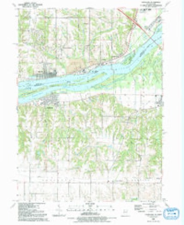
19 topographic sheets cover this place, the earliest surveyed in 1912 and the latest in 1991. It stands in Edgington Township. It lies in ZIP code area 61284. The Survey maps it on the Andalusia quadrangle. 141 people lived here at the 2020 count. It stands 771 feet above sea level.
Topographic sheets covering this place
10 surveys from 19 printed sheetsMatched by testing this settlement's coordinate against the published boundary of every sheet in the United States Geological Survey's historical collection. Each opens the scanned sheet at the Survey.
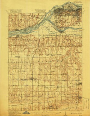
- 1912 USGS Milan quadrangle1:62500, 7 printings
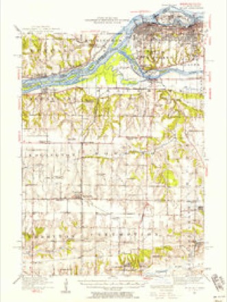
- 1944 USGS Milan quadrangle1:62500
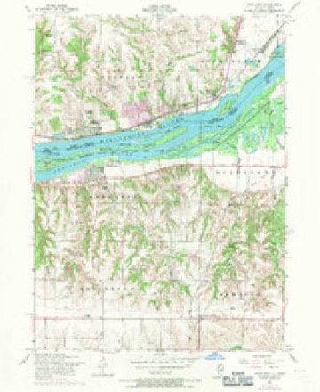
- 1953 USGS Andalusia quadrangle1:24000, 3 printings
- 1953 USGS Milan quadrangle1:62500
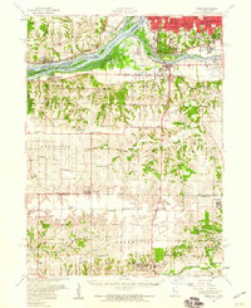
- 1958 USGS Davenport quadrangle1:250000, 2 printings
- 1961 USGS Davenport quadrangle1:250000
- 1962 USGS Davenport quadrangle1:250000
- 1984 USGS Aledo quadrangle1:100000
- 1989 USGS Aledo quadrangle1:100000
- 1991 USGS Andalusia quadrangle1:24000





Fires near this place
6 since 2008Regional context, not property-specific evidence. The federal wildfire occurrence database lists 6 fires within 5 miles of Taylor Ridge between 2008 and 2011, burning about 1 acre in total. None started naturally. None was recorded as arson. Distance is straight-line from the map coordinates, so a fire counted here may appear on a neighbouring settlement's page as well.
| Reported cause | Fires |
|---|---|
| Missing data/not specified/undetermined | 4 |
| Debris and open burning | 1 |
| Power generation/transmission/distribution | 1 |
The most recent of them, most recent first, with the day each was reported and the service that recorded it.
| Date | Cause | Size | Reported by | Name on the report |
|---|---|---|---|---|
| 30 May 2009 | Missing data/not specified/undetermined | under an acre | Illinois Division of Forestry Resources | HOLLOW |
| 27 May 2010 | Power generation/transmission/distribution | under an acre | Illinois Division of Forestry Resources | COUNTY |
| 2 April 2008 | Missing data/not specified/undetermined | under an acre | Illinois Division of Forestry Resources | CARLSON |
| 31 March 2010 | Debris and open burning | under an acre | Illinois Division of Forestry Resources | BLACKHAWK |
| 21 March 2009 | Missing data/not specified/undetermined | under an acre | Illinois Division of Forestry Resources | WEST |
| 17 March 2011 | Missing data/not specified/undetermined | under an acre | Illinois Division of Forestry Resources | STATE |
Settlements close enough to share some of these fires:
Storms near this place
11 since 2007Regional context, not property-specific evidence. The National Weather Service names Taylor Ridge in 11 storm reports between 2007 and 2025: 4 hail, 3 tornado, 3 thunderstorm wind, 1 funnel cloud. No death or injury is recorded in these reports. Each account below is quoted exactly as the forecast office filed it, from the NOAA Storm Events Database, and each date opens the federal record of that event.
| When | Event | Place named | Harm | What the report says |
|---|---|---|---|---|
| September 2010 | Thunderstorm Wind | Taylor Ridge | $5,000 | Wind gusts estimated to be 65 mph blew a power pole down across a road about 2 miles northwest of Taylor Ridge, IL around 950 pm CDT September 5. |
| June 2025 | Tornado (EF1) | Taylor Ridge | - | This longer lived EF1 tornado, with maximum winds of 100 mph, tracked from southwest of Coyne Center into the southern Quad Cities metro area ending near the Avenue of the Cities in Moline. This tornado did heavy tree damage near and in a mobile home park in Coyne Center, including tearing the roof off one home, smashing most the walls on another, and downing a large tree smashing one of the homes. The tornado appeared to pass just on the western side of the Quad Cities International Airport before crossing I-280. The tornado produced heavy tree damage on the north side of the Rock River, including some trees downed onto garages / sheds. The tornado would pass very close if not partially over SouthPark mall in Moline, causing damage to numerous trees in the parking lot, and damaging nearby commercial signs and windows. Windows were also reported blown out in several cars at a business. Into Moline damage from the tornado became more sporadic until it approached 53rd street where more trees were damaged. |
| June 2024 | Thunderstorm Wind | Taylor Ridge | - | Large tree branch downed by thunderstorm winds. |
| April 2024 | Funnel Cloud | Taylor Ridge | - | A trained spotter reported rotation and a funnel cloud north of Taylor Ridge near the river. |
| April 2024 | Hail | Taylor Ridge | - | The time of the event was estimated using radar. |
| May 2024 | Tornado (EF1) | Taylor Ridge | - | A tornado developed southwest of Coyne Center, IL, in Rock Island County and followed an intermittent path around 20 miles at a speed of around 50 mph. Fire and ambulance personnel last spotted the tornado near Green River, IL in Henry County. The most significant damage, to a large outbuilding and trees, occurred in Coyne Center. Maximum winds were estimated around 110 mph and the tornado was rated EF-1. No injuries were reported. The tornado crossed into Henry County, Illinois at 7:06 am, 1.5 miles east northeast of Coal Valley Illinois. Thanks to emergency management for assistance in completing the survey. |
| April 2020 | Hail | Taylor Ridge | - | Report through social media. |
| July 2017 | Thunderstorm Wind | Taylor Ridge | - | A trained spotter reported power lines were down. |
| June 2008 | Tornado (EF0) | Taylor Ridge | - | A tornado was spotted by a law enforcement official about one mile west of Taylor Ridge, IL at 7:26 pm June 12. |
| June 2007 | Hail | Taylor Ridge | - | Hail the size of a penny fell about 1 mile north of the Highland Spring Golf Course. |
| May 2013 | Hail | Taylor Ridge | - | no account filed |
Nearest settlements
The eight closest, with where each one stands in the county. Distances are straight-line, computed from the Geographic Names Information System coordinates.
| Map | Place | Distance | Sheets |
|---|---|---|---|
| Reynolds | 3.9 miles | 18 | |
| Andalusia | 4.5 miles | 19 | |
| Castle Junction | 4.8 miles | 23 | |
| Edgington | 5.1 miles | 15 | |
| Oak Grove | 5.4 miles | 23 | |
| Coyne Center | 5.9 miles | 23 | |
| Ginger Hill | 6.4 miles | 23 | |
| Milan | 6.9 miles | 23 |
Elsewhere
Matched on this settlement's Geographic Names Information System number rather than its name, so it cannot be a different place of the same name in another state.
| Wikipedia article on Taylor Ridge | An encyclopaedic summary. Its text is share-alike, so it is linked here rather than copied. |
| Wikidata item Q7690110 | The structured record the population and elevation above come from. Public domain (CC0). |
Provenance
This settlement is recorded in the Geographic Names Information System as feature 419567. The sheet list is computed by point-in-boundary test against the United States Geological Survey's historical topographic inventory. Both are works of the United States government and carry no copyright under 17 U.S.C. 105.
Wildfire. Short, Karen C. 2022. Spatial wildfire occurrence data for the United States, 1992-2020 [FPA_FOD_20221014]. 6th Edition. Fort Collins, CO: Forest Service Research Data Archive. https://doi.org/10.2737/RDS-2013-0009.6 Collected with United States Government funding and usable without additional permissions or fees.
Storms. NOAA National Centers for Environmental Information, Storm Events Database https://www.ncei.noaa.gov/stormevents/ A work of the United States government, no copyright under 17 U.S.C. 105. Narratives are quoted verbatim from the National Weather Service report and are not edited or summarised.