 Block
Barstow, Illinois
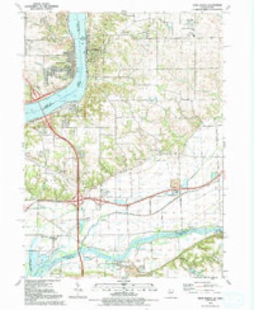
23 topographic sheets cover this place, the earliest surveyed in 1892 and the latest in 1991. It stands in Hampton Township. It lies in ZIP code area 61236. It stands on Zuma Creek. The Survey maps it on the Port Byron quadrangle. 89 people lived here at the 2020 count. It stands 574 feet above sea level.
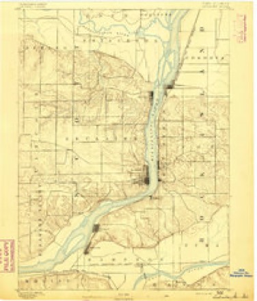
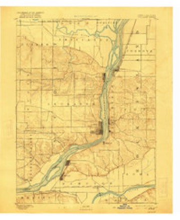
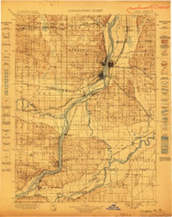
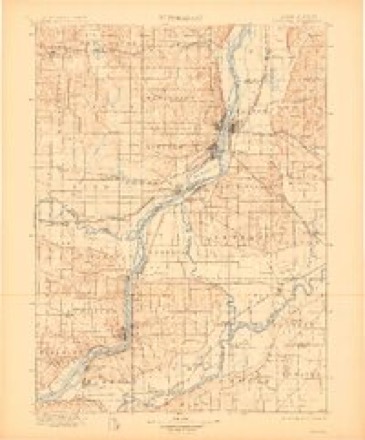
Topographic sheets covering this place
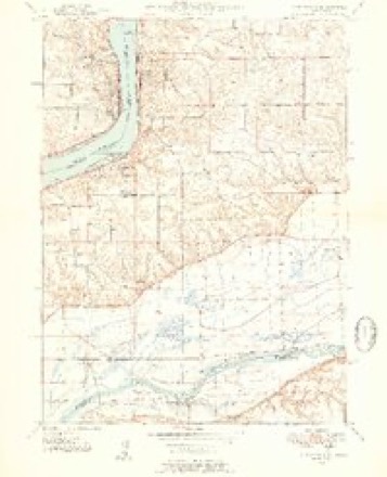
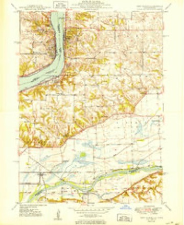
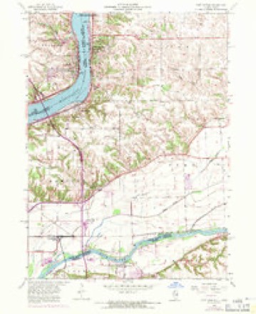
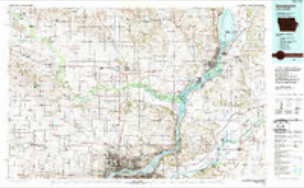
12 surveys from 23 printed sheetsMatched by testing this settlement's coordinate against the published boundary of every sheet in the United States Geological Survey's historical collection. Each opens the scanned sheet at the Survey.
- 1892 USGS Leclaire quadrangle1:62500
- 1893 USGS Leclaire quadrangle1:62500, 4 printings
- 1899 USGS Clinton quadrangle1:125000
- 1899 USGS Cordova quadrangle1:125000, 4 printings
- 1949 USGS Port Byron quadrangle1:24000, 2 printings
- 1950 USGS Port Byron quadrangle1:24000
- 1953 USGS Port Byron quadrangle1:24000, 3 printings
- 1958 USGS Davenport quadrangle1:250000, 2 printings
- 1961 USGS Davenport quadrangle1:250000
- 1962 USGS Davenport quadrangle1:250000
- 1984 USGS Davenport quadrangle1:100000, 2 printings
- 1991 USGS Port Byron quadrangle1:24000



In the county-history sources
807 words on this townshipHistoric Rock Island County; History of the Settlement of Rock Island County from the Earliest Known Period to the Present Time ... Embracing References of Importance, and Including a Biography of Rock Island County's Well-known Citizens, published 1908 names this settlement in its chapter on Hampton Township. These are the passages that mention it, exactly as the scans read.
Barstow is not an incorporated village. When the Sterling branch of the Chicago, Burlington A: Quincy Railfoad was completed through Hampton Township, a station was established on land owned by Joel G. Franklin, and named Franklin Crossing, a postoffice being soon after established and given the same name as the railroad station, and Mr. Franklin being commissioned its first postmaster.
Passage source: Historic Rock Island County; History of the Settlement of Rock Island County from the Earliest Known Period to the Present Time ... Embracing References of Importance, and Including a Biography of Rock Island County's Well-known Citizens, published 1908.
When the main line of the railroad was run to this place, the name was changed to Barstow, and shortly afterwards the name of the postoffice was likewise changed. A large transfer in mail, passenger and freight business is done here, to and from the Sterling branch, and despatched and received to and from the main lines to St. Paul and St. Louis. The village now comprises about twenty-five buildings and houses, an eating house, depot, restaurant, a general store, blacksmith shop, school house and postoffice.
Passage source: Historic Rock Island County; History of the Settlement of Rock Island County from the Earliest Known Period to the Present Time ... Embracing References of Importance, and Including a Biography of Rock Island County's Well-known Citizens, published 1908.
Machine-read from a century-old scan, so expect the errors a machine makes: misspelled names, dropped words, stray characters.
Fires near this place
6 since 2008Regional context, not property-specific evidence. The federal wildfire occurrence database lists 6 fires within 5 miles of Barstow between 2008 and 2018, burning about 5 acres in total. None started naturally. None was recorded as arson. Distance is straight-line from the map coordinates, so a fire counted here may appear on a neighbouring settlement's page as well.
| Reported cause | Fires |
|---|---|
| Debris and open burning | 4 |
| Missing data/not specified/undetermined | 2 |
The most recent of them, most recent first, with the day each was reported and the service that recorded it.
| Date | Cause | Size | Reported by | Name on the report |
|---|---|---|---|---|
| 4 July 2008 | Debris and open burning | under an acre | Illinois Division of Forestry Resources | TREE |
| 3 July 2017 | Debris and open burning | 1.0 acres | Illinois Division of Forestry Resources | 17-111 |
| 24 July 2018 | Missing data/not specified/undetermined | under an acre | Illinois Division of Forestry Resources | 18-108 MM 1 I-88 |
| 6 June 2017 | Missing data/not specified/undetermined | 2.0 acres | Illinois Division of Forestry Resources | 17-090 |
| 12 March 2018 | Debris and open burning | under an acre | Illinois Division of Forestry Resources | 18-043 |
| 16 December 2017 | Debris and open burning | under an acre | Illinois Division of Forestry Resources | 17-200 |
Settlements close enough to share some of these fires:
Mines and quarries near this place
5 within 5 milesRegional context, not property-specific evidence. The federal mineral resources record lists 5 workings within 5 miles of Barstow: 4 producers, 1 past producer. 4 still produce. What was taken out: Stone, Crushed/Broken, Sand and Gravel, Construction. Distance is straight-line from the map coordinates, so a quarry counted here may appear on a neighbouring settlement's page as well.
| Where | Site | Commodity | Status | Recorded |
|---|---|---|---|---|
| Mc Dowell Sand & Excavating | Sand and Gravel, Construction | Producer | ||
| Oberlander Pit | Sand and Gravel, Construction | Past Producer | ||
| Cleveland Quarry Plant #31 | Stone, Crushed/Broken | Producer | ||
| Hillside Plt & Quay Midway Stone | Stone, Crushed/Broken | Producer | ||
| Rock River Stone Quarry | Stone, Crushed/Broken | Producer |
Storms near this place
5 since 1998Regional context, not property-specific evidence. The National Weather Service names Barstow in 5 storm reports between 1998 and 2019: 2 flood, 1 hail, 1 thunderstorm wind, 1 tornado. The reports record 10 injuries. Each account below is quoted exactly as the forecast office filed it, from the NOAA Storm Events Database, and each date opens the federal record of that event.
| When | Event | Place named | Harm | What the report says |
|---|---|---|---|---|
| March 2016 | Tornado (EF2) | Barstow | 10 hurt, $750,000 | An EF-2 tornado tracked north then curved to the east through upper Rock Island county. An estimated 40 homes were damaged with the most severe damage to a neighborhood in rural East Moline where 10 homes were completely destroyed. Ten people reported minor injuries. The maximum wind with this tornado were estimated at 130 mph. |
| February 2019 | Flood | Barstow | - | Snowmelt, rainwater, and elevated river levels from ice jams in the area, brought the Rock River at Joslin above major flood stage of 16.5 feet, at 5 PM, February 26th. It crested at 16.55 feet, at midnight, February 27th, before falling back below major stage at 7 AM February 27th. |
| August 1999 | Flood | Barstow | - | Two inches of rain in 30 minutes resulted in minor street flooding. |
| August 1999 | Thunderstorm Wind | Barstow | - | Power poles downed. |
| June 1998 | Hail | Barstow | - | Hail fell for 25 minutes at Barstow. |
Nearest settlements
The eight closest, with where each one stands in the county. Distances are straight-line, computed from the Geographic Names Information System coordinates.
| Map | Place | Distance | Sheets |
|---|---|---|---|
| Babcock | 2.2 miles | 21 | |
| Carbon Cliff | 2.4 miles | 14 | |
| Cedar Brook | 2.8 miles | 23 | |
| Silvis | 3.1 miles | 21 | |
| Hampton | 3.8 miles | 21 | |
| Glendale (historical) | 3.8 miles | 14 | |
| Rapids City | 4.4 miles | 23 | |
| Osborn | 4.5 miles | 23 |
Elsewhere
Matched on this settlement's Geographic Names Information System number rather than its name, so it cannot be a different place of the same name in another state.
| Wikipedia article on Barstow | An encyclopaedic summary. Its text is share-alike, so it is linked here rather than copied. |
| Wikidata item Q4865023 | The structured record the population and elevation above come from. Public domain (CC0). |
Provenance
This settlement is recorded in the Geographic Names Information System as feature 403936. The sheet list is computed by point-in-boundary test against the United States Geological Survey's historical topographic inventory. Both are works of the United States government and carry no copyright under 17 U.S.C. 105.
Wildfire. Short, Karen C. 2022. Spatial wildfire occurrence data for the United States, 1992-2020 [FPA_FOD_20221014]. 6th Edition. Fort Collins, CO: Forest Service Research Data Archive. https://doi.org/10.2737/RDS-2013-0009.6 Collected with United States Government funding and usable without additional permissions or fees.
Mines and quarries. USGS Mineral Resources Data System (MRDS) https://mrdata.usgs.gov/mrds/ A work of the United States government, no copyright under 17 U.S.C. 105.
Storms. NOAA National Centers for Environmental Information, Storm Events Database https://www.ncei.noaa.gov/stormevents/ A work of the United States government, no copyright under 17 U.S.C. 105. Narratives are quoted verbatim from the National Weather Service report and are not edited or summarised.