 Block
Hampton, Illinois
21 topographic sheets cover this place, the earliest surveyed in 1892 and the latest in 1991. It stands in Hampton Township. It lies in ZIP code area 61256. It lies near Kay Island. The Survey maps it on the Silvis quadrangle. 1,779 people lived here at the 2020 count. It stands 587 feet above sea level.
On record in Hampton
Buildings and businesses the archive holds for this place. Each opens its own page, with the source record it came from.
On the National Register 1 record
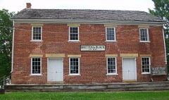 Black's Storelisted 1976
Population over time
2 figuresHampton fell from 1,863 to 1,779 between 2010 and 2020. These are the recorded population figures Wikidata holds for this place, reached through the Geographic Names Information System number this page is keyed on rather than by name, so they belong to this place and not to another of the same name. Most are census counts, but not all are: an early figure may be a founding or settlement estimate, and an estimate published within five years of a census is left out. The change column is computed, and is left blank where more than 20 years separate a figure from the one before it, because a gap that long is not a change between two counts.
| Year | People | Change |
|---|---|---|
| 2010 | 1,863 | |
| 2020 | 1,779 | -84 (-5%) |
Topographic sheets covering this place
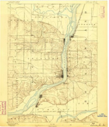
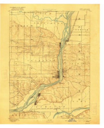
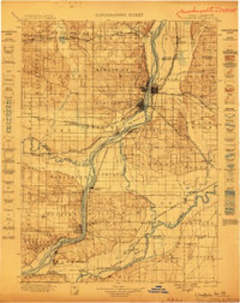
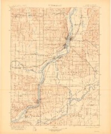
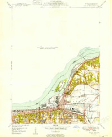
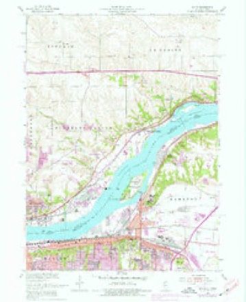
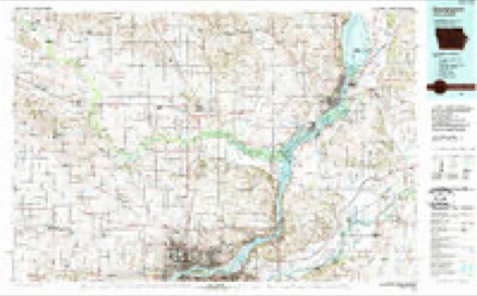
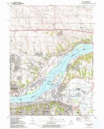
11 surveys from 21 printed sheetsMatched by testing this settlement's coordinate against the published boundary of every sheet in the United States Geological Survey's historical collection. Each opens the scanned sheet at the Survey.
- 1892 USGS Leclaire quadrangle1:62500
- 1893 USGS Leclaire quadrangle1:62500, 4 printings
- 1899 USGS Clinton quadrangle1:125000
- 1899 USGS Cordova quadrangle1:125000, 4 printings
- 1949 USGS Silvis quadrangle1:24000
- 1953 USGS Silvis quadrangle1:24000, 3 printings
- 1958 USGS Davenport quadrangle1:250000, 2 printings
- 1961 USGS Davenport quadrangle1:250000
- 1962 USGS Davenport quadrangle1:250000
- 1984 USGS Davenport quadrangle1:100000, 2 printings
- 1991 USGS Silvis quadrangle1:24000



In the county-history sources
807 words on this townshipHistoric Rock Island County; History of the Settlement of Rock Island County from the Earliest Known Period to the Present Time ... Embracing References of Importance, and Including a Biography of Rock Island County's Well-known Citizens, published 1908 names this settlement in its chapter on Hampton Township. These are the passages that mention it, exactly as the scans read.
The Village of Hampton, in Hampton Township, was surveyed and platted soon after the organization of Rock Island County. Among the earliest business men were Joel Thompson, Alonzo P. Clapp, Dower and Hammond, Samuel and David Lambert, M. W. Wright and Francis Black, followed by L. F. Baker, H. F. Thomas, H. O. Norton, Dr. George Vincent, S. L. Brettun, and Wm. B. Webster. The first postoffice was established in the winter of 1837, Joel Thompson being commissioned postmaster, followed by Francis Black, Samuel Heagy and L. F Baker. From the earliest settlement Hampton was one of the principal points for supplies for the farmers in the upper end of the county, and even considerable territory in Henry County. Here they brought their grain and sold their pork, which was packed by M. W. Wright and Francis Black, and shipped down the river by the steamboats. In after years the coal interests were the principal business reliance; Heagy and Stoddard and Taylor Williams being extensive operators. In 1884 Heagy and Stoddard were succeeded by the Northern Mining & Railway Company, who ceased operations about fifteen
Passage source: Historic Rock Island County; History of the Settlement of Rock Island County from the Earliest Known Period to the Present Time ... Embracing References of Importance, and Including a Biography of Rock Island County's Well-known Citizens, published 1908.
The assessors' plats show there exists in the Village of Hampton, an old village called Milan, which was platted in 1837. The plat showing about thirty blocks. In this district at the present time are only four or five houses. In that year the postoffice department at Washington, D. C, was petitioned for a postoffice at this place to be called Milan. There being a postoffice of that name already in the state, the department established the postoffice under the name of Hampton, from which name the township and village derive their names.
Passage source: Historic Rock Island County; History of the Settlement of Rock Island County from the Earliest Known Period to the Present Time ... Embracing References of Importance, and Including a Biography of Rock Island County's Well-known Citizens, published 1908.
Barstow is not an incorporated village. When the Sterling branch of the Chicago, Burlington A: Quincy Railfoad was completed through Hampton Township, a station was established on land owned by Joel G. Franklin, and named Franklin Crossing, a postoffice being soon after established and given the same name as the railroad station, and Mr. Franklin being commissioned its first postmaster.
Passage source: Historic Rock Island County; History of the Settlement of Rock Island County from the Earliest Known Period to the Present Time ... Embracing References of Importance, and Including a Biography of Rock Island County's Well-known Citizens, published 1908.
Machine-read from a century-old scan, so expect the errors a machine makes: misspelled names, dropped words, stray characters.
Read the whole chapter on Hampton Township - it names this place 2 more 2 times.
Fires near this place
7 since 2008Regional context, not property-specific evidence. The federal wildfire occurrence database lists 7 fires within 5 miles of Hampton between 2008 and 2018, burning about 15 acres in total. None started naturally. None was recorded as arson. Distance is straight-line from the map coordinates, so a fire counted here may appear on a neighbouring settlement's page as well.
| Reported cause | Fires |
|---|---|
| Debris and open burning | 4 |
| Missing data/not specified/undetermined | 3 |
The most recent of them, most recent first, with the day each was reported and the service that recorded it.
| Date | Cause | Size | Reported by | Name on the report |
|---|---|---|---|---|
| 4 July 2008 | Debris and open burning | under an acre | Illinois Division of Forestry Resources | TREE |
| 3 July 2017 | Debris and open burning | 1.0 acres | Illinois Division of Forestry Resources | 17-111 |
| 24 July 2018 | Missing data/not specified/undetermined | under an acre | Illinois Division of Forestry Resources | 18-108 MM 1 I-88 |
| 6 June 2017 | Missing data/not specified/undetermined | 2.0 acres | Illinois Division of Forestry Resources | 17-090 |
| 3 April 2011 | Missing data/not specified/undetermined | 10 acres | Iowa Department of Natural Resources | H AVE AND E 49, IA |
| 16 December 2017 | Debris and open burning | under an acre | Illinois Division of Forestry Resources | 17-200 |
| 12 November 2018 | Debris and open burning | under an acre | Illinois Division of Forestry Resources | 18-170 |
Settlements close enough to share some of these fires:
Mines and quarries near this place
2 within 5 milesRegional context, not property-specific evidence. The federal mineral resources record lists 2 workings within 5 miles of Hampton: 1 past producer, 1 producer. 1 still produces. What was taken out: Stone, Crushed/Broken. Distance is straight-line from the map coordinates, so a quarry counted here may appear on a neighbouring settlement's page as well.
| Where | Site | Commodity | Status | Recorded |
|---|---|---|---|---|
| Le Claire Quarry | Stone, Crushed/Broken | Producer | ||
| Unknown | Stone, Crushed/Broken | Past Producer |
Storms near this place
3 since 2010Regional context, not property-specific evidence. The National Weather Service names Hampton in 3 storm reports between 2010 and 2023: 1 thunderstorm wind, 1 lightning, 1 hail. No death or injury is recorded in these reports. Each account below is quoted exactly as the forecast office filed it, from the NOAA Storm Events Database, and each date opens the federal record of that event.
| When | Event | Place named | Harm | What the report says |
|---|---|---|---|---|
| June 2010 | Lightning | Hampton | $2,000 | Lightning struck a house, setting fire to the attic. Time is estimated. |
| September 2010 | Thunderstorm Wind | Hampton | - | Wind gusts estimated to be 60 mph blew down a 3 inch diameter tree branch across a road in Hampton, IL around 335 pm CDT September 21. |
| March 2023 | Hail | Hampton | - | no account filed |
Nearest settlements
The eight closest, with where each one stands in the county. Distances are straight-line, computed from the Geographic Names Information System coordinates.
| Map | Place | Distance | Sheets |
|---|---|---|---|
| Cedar Brook | 1.9 miles | 23 | |
| Babcock | 2.0 miles | 21 | |
| Silvis | 3.0 miles | 21 | |
| Barstow | 3.8 miles | 23 | |
| Rapids City | 3.9 miles | 23 | |
| East Moline | 4.2 miles | 21 | |
| Carbon Cliff | 4.3 miles | 14 | |
| Glendale (historical) | 4.9 miles | 14 |
Elsewhere
Matched on this settlement's Geographic Names Information System number rather than its name, so it cannot be a different place of the same name in another state.
| Wikipedia article on Hampton | An encyclopaedic summary. Its text is share-alike, so it is linked here rather than copied. |
| Wikidata item Q2178330 | The structured record the population and elevation above come from. Public domain (CC0). |
Provenance
This settlement is recorded in the Geographic Names Information System as feature 409723. The sheet list is computed by point-in-boundary test against the United States Geological Survey's historical topographic inventory. Both are works of the United States government and carry no copyright under 17 U.S.C. 105.
Wildfire. Short, Karen C. 2022. Spatial wildfire occurrence data for the United States, 1992-2020 [FPA_FOD_20221014]. 6th Edition. Fort Collins, CO: Forest Service Research Data Archive. https://doi.org/10.2737/RDS-2013-0009.6 Collected with United States Government funding and usable without additional permissions or fees.
Mines and quarries. USGS Mineral Resources Data System (MRDS) https://mrdata.usgs.gov/mrds/ A work of the United States government, no copyright under 17 U.S.C. 105.
Storms. NOAA National Centers for Environmental Information, Storm Events Database https://www.ncei.noaa.gov/stormevents/ A work of the United States government, no copyright under 17 U.S.C. 105. Narratives are quoted verbatim from the National Weather Service report and are not edited or summarised.