 Block
Port Byron, Illinois
23 topographic sheets cover this place, the earliest surveyed in 1892 and the latest in 1991. It stands in Port Byron Township. It lies in ZIP code area 61275. The Survey maps it on the Port Byron quadrangle. 1,668 people lived here at the 2020 count. It stands 604 feet above sea level.
Population over time
2 figuresPort Byron grew from 1,647 to 1,668 between 2010 and 2020. These are the recorded population figures Wikidata holds for this place, reached through the Geographic Names Information System number this page is keyed on rather than by name, so they belong to this place and not to another of the same name. Most are census counts, but not all are: an early figure may be a founding or settlement estimate, and an estimate published within five years of a census is left out. The change column is computed, and is left blank where more than 20 years separate a figure from the one before it, because a gap that long is not a change between two counts.
| Year | People | Change |
|---|---|---|
| 2010 | 1,647 | |
| 2020 | 1,668 | +21 (+1%) |
Topographic sheets covering this place
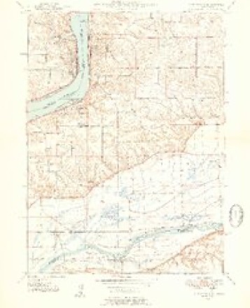
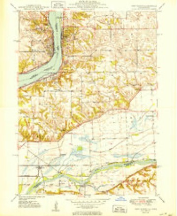
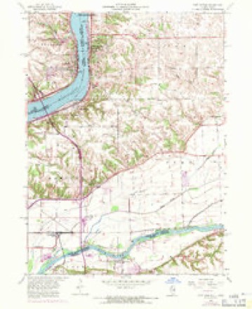
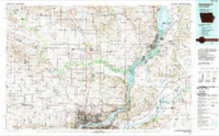
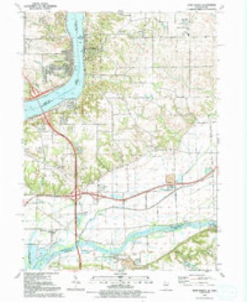
12 surveys from 23 printed sheetsMatched by testing this settlement's coordinate against the published boundary of every sheet in the United States Geological Survey's historical collection. Each opens the scanned sheet at the Survey.
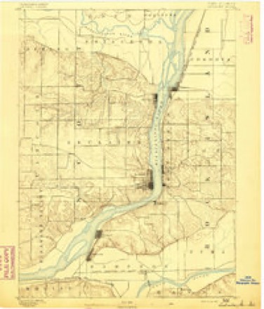
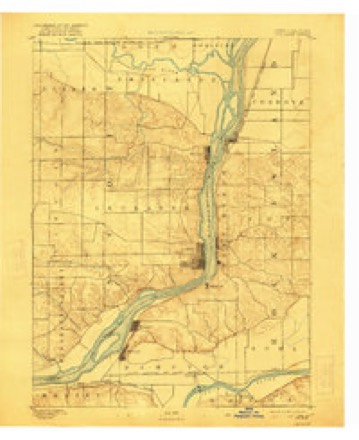
- 1892 USGS Leclaire quadrangle1:62500
- 1893 USGS Leclaire quadrangle1:62500, 4 printings
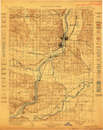
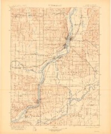
- 1899 USGS Clinton quadrangle1:125000
- 1899 USGS Cordova quadrangle1:125000, 4 printings
- 1949 USGS Port Byron quadrangle1:24000, 2 printings
- 1950 USGS Port Byron quadrangle1:24000
- 1953 USGS Port Byron quadrangle1:24000, 3 printings
- 1958 USGS Davenport quadrangle1:250000, 2 printings
- 1961 USGS Davenport quadrangle1:250000
- 1962 USGS Davenport quadrangle1:250000
- 1984 USGS Davenport quadrangle1:100000, 2 printings
- 1991 USGS Port Byron quadrangle1:24000



In the county-history sources
187 words on this townshipHistoric Rock Island County; History of the Settlement of Rock Island County from the Earliest Known Period to the Present Time ... Embracing References of Importance, and Including a Biography of Rock Island County's Well-known Citizens, published 1908 names this settlement in its chapter on Port Byron Township. These are the passages that mention it, exactly as the scans read.
The village of Port Byron was incorporated in February, 18.56. The village was laid out in 1836, b}' Sanuiel Allen, Dr. P. Gregg, Nathaniel Belcher and Moses Bailey; the land was held in common by them. On the lanrl was but one log house and a small log store. The store was started by Walter Phillips. Shortly after the site was laid out Nathaniel Belcher built a frame store, and put in a stock of general merchandise, associating with him Mr. Hambaugh. The first grist mill was erected in the spring of 1849 by T. G. Temple and N. Dorrance. It was run by steam, and had one set of burrs for wheat and one set for corn. The first school was held in the old log store of Samuel Allen in 1838, Harriet Dodge being teacher. The first school house was of brick, and was built in 1864. In addition to the public school, an Academy was erected in 1883, and is in a flourishing condition. The village is situated on the Mississippi River, and its railroad facilities are the Chicago, Jlilwaukee & St. Paul Railway.
Passage source: Historic Rock Island County; History of the Settlement of Rock Island County from the Earliest Known Period to the Present Time ... Embracing References of Importance, and Including a Biography of Rock Island County's Well-known Citizens, published 1908.
Machine-read from a century-old scan, so expect the errors a machine makes: misspelled names, dropped words, stray characters.
Fires near this place
13 since 2008Regional context, not property-specific evidence. The federal wildfire occurrence database lists 13 fires within 5 miles of Port Byron between 2008 and 2020, burning about 10 acres in total. None started naturally. None was recorded as arson. Distance is straight-line from the map coordinates, so a fire counted here may appear on a neighbouring settlement's page as well.
| Reported cause | Fires |
|---|---|
| Debris and open burning | 8 |
| Missing data/not specified/undetermined | 2 |
| Equipment and vehicle use | 2 |
| Power generation/transmission/distribution | 1 |
The most recent of them, most recent first, with the day each was reported and the service that recorded it.
| Date | Cause | Size | Reported by | Name on the report |
|---|---|---|---|---|
| 14 August 2018 | Debris and open burning | under an acre | Illinois Division of Forestry Resources | 18-119 BURN PILE/DITCH |
| 4 July 2008 | Debris and open burning | under an acre | Illinois Division of Forestry Resources | TREE |
| 3 July 2017 | Debris and open burning | 1.0 acres | Illinois Division of Forestry Resources | 17-111 |
| 6 June 2017 | Missing data/not specified/undetermined | 2.0 acres | Illinois Division of Forestry Resources | 17-090 |
| 1 May 2008 | Equipment and vehicle use | under an acre | Illinois Division of Forestry Resources | WHITETAIL DRIVE |
| 12 March 2018 | Debris and open burning | under an acre | Illinois Division of Forestry Resources | 18-043 |
| 18 February 2017 | Power generation/transmission/distribution | 1.0 acres | Illinois Division of Forestry Resources | 17-027 |
| 18 February 2017 | Debris and open burning | 1.0 acres | Illinois Division of Forestry Resources | 17-028 |
Settlements close enough to share some of these fires:
Mines and quarries near this place
3 within 5 milesRegional context, not property-specific evidence. The federal mineral resources record lists 3 workings within 5 miles of Port Byron: 2 past producers, 1 producer. 1 still produces. What was taken out: Stone, Crushed/Broken. Distance is straight-line from the map coordinates, so a quarry counted here may appear on a neighbouring settlement's page as well.
| Where | Site | Commodity | Status | Recorded |
|---|---|---|---|---|
| Cordova Quarry Butler Co. | Stone, Crushed/Broken | Past Producer | ||
| Cordova Quarrycollision Stone Co. | Stone, Crushed/Broken | Past Producer | ||
| Le Claire Quarry | Stone, Crushed/Broken | Producer |
Storms near this place
22 since 1994Regional context, not property-specific evidence. The National Weather Service names Port Byron in 22 storm reports between 1994 and 2024: 16 thunderstorm wind, 3 flood, 2 hail, 1 tornado. The reports record 3 injuries. Each account below is quoted exactly as the forecast office filed it, from the NOAA Storm Events Database, and each date opens the federal record of that event.
| When | Event | Place named | Harm | What the report says |
|---|---|---|---|---|
| June 2010 | Thunderstorm Wind | Port Byron | 3 hurt, $20,000 | A roof was torn from a building and tossed onto nearby power poles, causing one of the poles to fall and smash the attached transformers into a passing van and setting the van on fire. The occupants of the van escaped without major injury. |
| July 2003 | Thunderstorm Wind | Port Byron | $50,000 | Numerous power lines down |
| July 1994 | Thunderstorm Wind | Port Byron | $50,000 | The early morning wind event near Port Byron, Illinois was not reported until the following day. Thunderstorms that occurred at about the time of the event did not appear severe on radar. After conducting a post storm survey, it appeared that a small microburst type event occurred as one of the thunderstorms collapsed. |
| July 2003 | Thunderstorm Wind | Port Byron | $30,000 | Trees down |
| May 2001 | Thunderstorm Wind | Port Byron | $30,000 | High winds caused damage in the Oak Grove Cemetery. Numerous tree limbs and a few trees were downed, damaging a few headstones. Reported by newspaper. |
| July 2015 | Tornado (EF1) | Port Byron | $2,000 | An EF1 tornado with estimated peak wind of 105 mph damaged trees and some homes along 94th Ave. Path length, 1.2 miles.Path width about 200 yards. The tornado began at 7 pm 0.5 miles southeast of Port Byron and lifted around 703 pm 1.3 miles east northeast of Port Byron. |
| June 2001 | Thunderstorm Wind | Port Byron | $2,000 | Trees down in Byron Woods Subdivision. Reported by law enforcement. |
| May 2001 | Thunderstorm Wind | Port Byron | $2,000 | Several trees downed. Reported by trained storm spotter. |
| June 2000 | Thunderstorm Wind | Port Byron | $1,000 | no account filed |
| July 2024 | Thunderstorm Wind | Port Byron | - | A trained spotter reported that there were large trees down across a residential street. The time of the event was estimated using radar. |
| April 2023 | Flood | Port Byron | - | The Mississippi River at Le Claire Lock and Dam 14 rose above its major flood stage of 13.5 feet during the morning hours of April 25th and continued to rise to its crest of 16.12 on the evening of April 30th. |
| June 2022 | Thunderstorm Wind | Port Byron | - | A tree was blown down by thunderstorm winds. |
| June 2019 | Thunderstorm Wind | Port Byron | - | A large tree was uprooted. |
| June 2019 | Thunderstorm Wind | Port Byron | - | A 18-24 inch diameter tree was blown down, onto another tree. |
| April 2019 | Flood | Port Byron | - | River levels continued to run high during the month of April. Heavy rain across the area caused the Mississippi River at Le Claire Lock and Dam 14 to rise above its major flood stage of 13.5 feet late in the day of the 26th, and it remained above its major flood stage into the month of May. This second rise did not cause a crest before the end of the month. |
| July 2014 | Flood | Port Byron | - | Heavy rains that fell across the Upper Midwest during the last two weeks of June brought the Mississippi River at LeClaire Iowa above its major flood stage of 13.5 at approximately 200 PM and fell below its major flood stage around 1200 PM on July 7. The river crested at 14.4 feet from 6PM July 3 to 6PM on July 4. |
| May 2012 | Thunderstorm Wind | Port Byron | - | A trained spotter reported a 4 foot diameter tree down. The spotter estimated the wind speed at 70 mph. |
| May 2012 | Thunderstorm Wind | Port Byron | - | Law enforcement reported several blocks with numerous trees down in Port Byron. |
| June 2007 | Thunderstorm Wind | Port Byron | - | Many trees were blown down across the northern sections of Port Byron and tree limbs were downed in other parts of town by wind gusts estimated at 70 mph. |
| June 2007 | Thunderstorm Wind | Port Byron | - | Many trees were blown down between Port Byron and Cordova by wind estimated at 70 mph. |
| April 2000 | Hail | Port Byron | - | Pea-sized hail reported by trained spotter. |
| April 1994 | Hail | Port Byron | - | On the evening of the 14th, and the early morning hours of the 15th, numerous thunderstorms moved across the Mississippi River bringing with them isolated wind and hail storms. Reports were received of 50 and 60 mph winds and three-quarter inch to one inch hail, but damage was minor. At 0145 CST lightning struck a tree in Reynolds, Illinois, followed by wind damage to metal shed. Shortly before 0200 CST, Port Byron, Illinois reported three-quarter inch to one inch hail. |
Nearest settlements
The eight closest, with where each one stands in the county. Distances are straight-line, computed from the Geographic Names Information System coordinates.
| Map | Place | Distance | Sheets |
|---|---|---|---|
| Rapids City | 1.8 miles | 23 | |
| Cedar Brook | 3.9 miles | 23 | |
| Cordova | 5.2 miles | 21 | |
| Hampton | 5.2 miles | 21 | |
| Barstow | 6.2 miles | 23 | |
| Babcock | 6.2 miles | 21 | |
| Osborn | 6.7 miles | 23 | |
| Joslin | 6.9 miles | 14 |
Elsewhere
Matched on this settlement's Geographic Names Information System number rather than its name, so it cannot be a different place of the same name in another state.
| Wikipedia article on Port Byron | An encyclopaedic summary. Its text is share-alike, so it is linked here rather than copied. |
| Wikidata item Q2242241 | The structured record the population and elevation above come from. Public domain (CC0). |
Provenance
This settlement is recorded in the Geographic Names Information System as feature 416038. The sheet list is computed by point-in-boundary test against the United States Geological Survey's historical topographic inventory. Both are works of the United States government and carry no copyright under 17 U.S.C. 105.
Wildfire. Short, Karen C. 2022. Spatial wildfire occurrence data for the United States, 1992-2020 [FPA_FOD_20221014]. 6th Edition. Fort Collins, CO: Forest Service Research Data Archive. https://doi.org/10.2737/RDS-2013-0009.6 Collected with United States Government funding and usable without additional permissions or fees.
Mines and quarries. USGS Mineral Resources Data System (MRDS) https://mrdata.usgs.gov/mrds/ A work of the United States government, no copyright under 17 U.S.C. 105.
Storms. NOAA National Centers for Environmental Information, Storm Events Database https://www.ncei.noaa.gov/stormevents/ A work of the United States government, no copyright under 17 U.S.C. 105. Narratives are quoted verbatim from the National Weather Service report and are not edited or summarised.