 Block
Boyd, Illinois
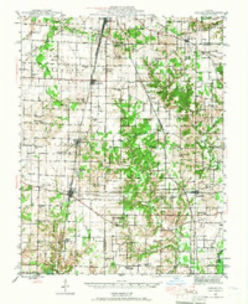
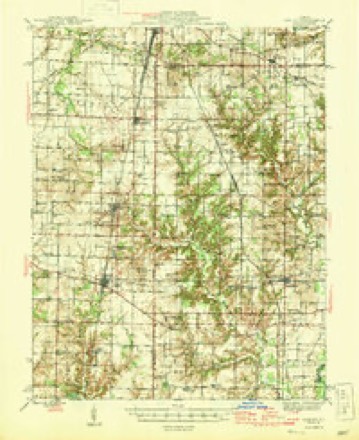
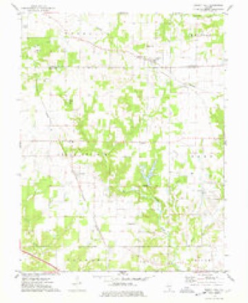
9 topographic sheets cover this place, the earliest surveyed in 1943 and the latest in 1985. It stands in Rome Township. It lies in ZIP code area 62830. It stands on East Creek. The Survey maps it on the Walnut Hill quadrangle.
Topographic sheets covering this place
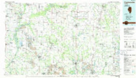
6 surveys from 9 printed sheetsMatched by testing this settlement's coordinate against the published boundary of every sheet in the United States Geological Survey's historical collection. Each opens the scanned sheet at the Survey.
- 1943 USGS Ashley quadrangle1:62500
- 1946 USGS Ashley quadrangle1:62500
- 1958 USGS Belleville quadrangle1:250000, 3 printings
- 1962 USGS Belleville quadrangle1:250000
- 1974 USGS Walnut Hill quadrangle1:24000
- 1985 USGS Pinckneyville quadrangle1:100000, 2 printings


In the county-history sources
5,016 words on this townshipHistory of Jefferson County, Illinois, published 1883; Wall's History of Jefferson County, Illinois, published 1909 has no passage naming this settlement, which was common for smaller places. Its township is covered in full.
The chapter on Rome Township covers the township.
Read the chapter on Rome Township - 5,016 words.
Mines and quarries near this place
1 within 5 milesRegional context, not property-specific evidence. The federal mineral resources record lists 1 working within 5 miles of Boyd: 1 occurrence. None of them still produces. What was taken out: Stone, Crushed/Broken. Distance is straight-line from the map coordinates, so a quarry counted here may appear on a neighbouring settlement's page as well.
| Where | Site | Commodity | Status | Recorded |
|---|---|---|---|---|
| Limestone Prospect | Stone, Crushed/Broken | Occurrence |
Storms near this place
7 since 2006Regional context, not property-specific evidence. The National Weather Service names Boyd in 7 storm reports between 2006 and 2024: 3 thunderstorm wind, 2 hail, 1 funnel cloud, 1 flash flood. No death or injury is recorded in these reports. Each account below is quoted exactly as the forecast office filed it, from the NOAA Storm Events Database, and each date opens the federal record of that event.
| When | Event | Place named | Harm | What the report says |
|---|---|---|---|---|
| April 2006 | Thunderstorm Wind | Boyd | $100,000 | In Boyd, a small community northwest of Mount Vernon, a saw mill building collapsed, and surrounding outbuildings were destroyed. The outbuildings included a trailer and a garage. Three trees were snapped or uprooted, and a couple of utility poles were snapped. The damage was oriented from southwest to northeast. The damage path length was one-half to two-thirds of a mile. The path width was about 300 yards. A damage survey conducted by the National Weather Service indicated a microburst with peak winds near 70 MPH caused the damage in Boyd. In the city of Mount Vernon, numerous trees were blown down, including three that landed on houses and one on a vehicle. Streets on the north side of town were blocked by trees. In Dix, the roof was partially torn off a building. |
| August 2022 | Flash Flood | Boyd | $10,000 | Water was over North Copple Lane near Boyd, where a water rescue was conducted. |
| April 2013 | Hail | Boyd | $10,000 | A second round of large hail associated with another supercell lasted approximately three to four minutes, causing more damage to vinyl siding and screens. The large hail swath extended from several miles southwest of Dix across the Dix area. |
| May 2024 | Thunderstorm Wind | Boyd | $5,000 | Public reports were submitted via mPING of tree limb and/or power line damage in northern portions of Jefferson County as a storm line moved through. |
| May 2016 | Thunderstorm Wind | Boyd | $2,000 | A trained spotter estimated a wind gust to 75 mph at Boyd. In Woodlawn, a large tree limb was down across a power line. |
| April 2013 | Funnel Cloud | Boyd | - | A strongly rotating funnel cloud was observed over open country. |
| April 2014 | Hail | Boyd | - | no account filed |
Nearest settlements
The eight closest, with where each one stands in the county. Distances are straight-line, computed from the Geographic Names Information System coordinates.
Provenance
This settlement is recorded in the Geographic Names Information System as feature 404754. The sheet list is computed by point-in-boundary test against the United States Geological Survey's historical topographic inventory. Both are works of the United States government and carry no copyright under 17 U.S.C. 105.
Mines and quarries. USGS Mineral Resources Data System (MRDS) https://mrdata.usgs.gov/mrds/ A work of the United States government, no copyright under 17 U.S.C. 105.
Storms. NOAA National Centers for Environmental Information, Storm Events Database https://www.ncei.noaa.gov/stormevents/ A work of the United States government, no copyright under 17 U.S.C. 105. Narratives are quoted verbatim from the National Weather Service report and are not edited or summarised.