 Block
Cravat, Illinois
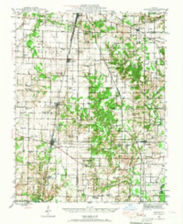
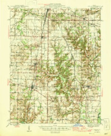
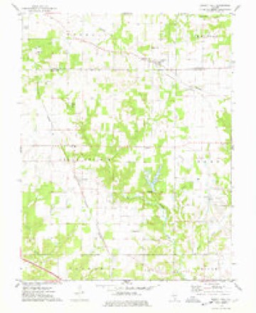
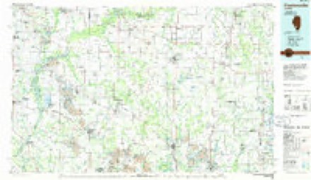
9 topographic sheets cover this place, the earliest surveyed in 1943 and the latest in 1985. It stands in Grand Prairie Township. It lies in ZIP code area 62801. The Survey maps it on the Walnut Hill quadrangle.
Topographic sheets covering this place
6 surveys from 9 printed sheetsMatched by testing this settlement's coordinate against the published boundary of every sheet in the United States Geological Survey's historical collection. Each opens the scanned sheet at the Survey.
- 1943 USGS Ashley quadrangle1:62500
- 1946 USGS Ashley quadrangle1:62500
- 1958 USGS Belleville quadrangle1:250000, 3 printings
- 1962 USGS Belleville quadrangle1:250000
- 1974 USGS Walnut Hill quadrangle1:24000
- 1985 USGS Pinckneyville quadrangle1:100000, 2 printings


In the county-history sources
4,038 words on this townshipHistory of Jefferson County, Illinois, published 1883; Wall's History of Jefferson County, Illinois, published 1909 has no passage naming this settlement, which was common for smaller places. Its township is covered in full.
The chapter on Grand Prairie Township covers the township.
Read the chapter on Grand Prairie Township - 4,038 words.
Storms near this place
2 since 1998Regional context, not property-specific evidence. The National Weather Service names Cravat in 2 storm reports between 1998 and 2009: 1 tornado, 1 flash flood. The reports record 1 injury. Each account below is quoted exactly as the forecast office filed it, from the NOAA Storm Events Database, and each date opens the federal record of that event.
| When | Event | Place named | Harm | What the report says |
|---|---|---|---|---|
| April 1998 | Tornado (F2) | Cravat | 1 hurt, $400,000 | Six houses sustained major damage in Cravat. One house was moved about 10 feet off of its foundation with the back portion of the house destroyed. One truck and some farm machinery were tossed 50 feet. Several small barns and outbuildings were destroyed. A truck driver sustained broken ribs when his tractor trailer was lifted up by the tornado. The trailer was lifted up into a vertical position before being set back down and rolling over. Several mobile homes were overturned. |
| May 2009 | Flash Flood | Cravat | - | High water was reported across many county roads. |
Nearest settlements
The eight closest, with where each one stands in the county. Distances are straight-line, computed from the Geographic Names Information System coordinates.
| Map | Place | Distance | Sheets |
|---|---|---|---|
| Baldwin Heights | 3.3 miles | 9 | |
| Jefferson City | 4.1 miles | 9 | |
| Boyd | 4.3 miles | 9 | |
| Roaches | 6.9 miles | 9 | |
| Woodlawn | 7.2 miles | 9 | |
| Drivers | 8.3 miles | 12 | |
| Dix | 8.3 miles | 12 | |
| Idlewood | 9.5 miles | 12 |
Provenance
This settlement is recorded in the Geographic Names Information System as feature 406749. The sheet list is computed by point-in-boundary test against the United States Geological Survey's historical topographic inventory. Both are works of the United States government and carry no copyright under 17 U.S.C. 105.
Storms. NOAA National Centers for Environmental Information, Storm Events Database https://www.ncei.noaa.gov/stormevents/ A work of the United States government, no copyright under 17 U.S.C. 105. Narratives are quoted verbatim from the National Weather Service report and are not edited or summarised.