 Block
Broadwell, Illinois
14 topographic sheets cover this place, the earliest surveyed in 1911 and the latest in 1990. It stands in Broadwell Township. It lies in ZIP code area 62634. The Survey maps it on the Broadwell quadrangle. 136 people lived here at the 2020 count. It stands 591 feet above sea level.
Population over time
2 figuresBroadwell fell from 145 to 136 between 2010 and 2020. These are the recorded population figures Wikidata holds for this place, reached through the Geographic Names Information System number this page is keyed on rather than by name, so they belong to this place and not to another of the same name. Most are census counts, but not all are: an early figure may be a founding or settlement estimate, and an estimate published within five years of a census is left out. The change column is computed, and is left blank where more than 20 years separate a figure from the one before it, because a gap that long is not a change between two counts.
| Year | People | Change |
|---|---|---|
| 2010 | 145 | |
| 2020 | 136 | -9 (-6%) |
Topographic sheets covering this place
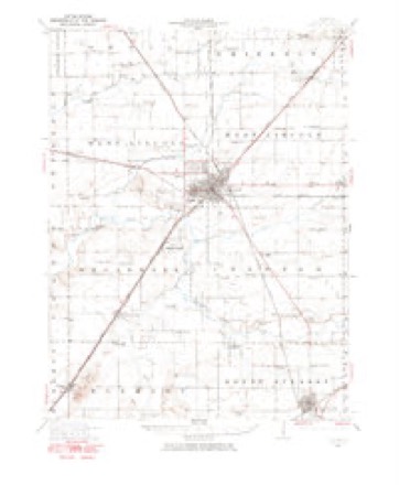
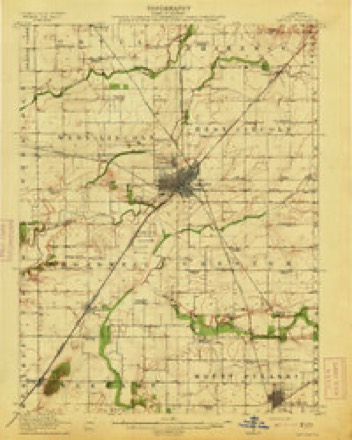
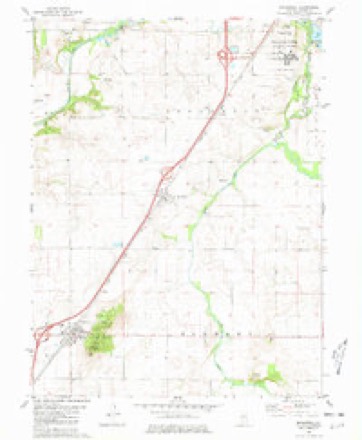
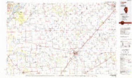
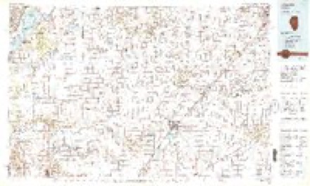
9 surveys from 14 printed sheetsMatched by testing this settlement's coordinate against the published boundary of every sheet in the United States Geological Survey's historical collection. Each opens the scanned sheet at the Survey.
- 1911 USGS Lincoln quadrangle1:62500
- 1913 USGS Lincoln quadrangle1:62500, 3 printings
- 1958 USGS Peoria quadrangle1:250000, 4 printings
- 1961 USGS Peoria quadrangle1:250000
- 1963 USGS Peoria quadrangle1:250000
- 1980 USGS Broadwell quadrangle1:24000
- 1985 USGS Lincoln quadrangle1:100000
- 1989 USGS Lincoln quadrangle1:100000
- 1990 USGS Peoria quadrangle1:250000




In the county-history sources
13,768 words on this townshipHistory of Logan County, Illinois, Together with Sketches of Its Cities, Villages, and Towns, Educational, Religious, Civil, Military, and Political History, Portraits of Prominent Person, and Biographies of Representative Citizens : Also a Condensed History of Illinois, Embodying Accounts of Prehistoric Races, Indian Wars, and a Brief Review of Its Civil and Political History, published 1886 names this settlement in its chapter on Broadwell Township. These are the passages that mention it, exactly as the scans read.
Broadwell is one of the four townships occupying the center of Logan County and is bounded on the north by West Lincoln Township, on the east by Chester Township, on the south by Elkhart Township, and on the west by Corwin Township. The Chicago & Alton Kailroad runs across it diagonally, northeast and southwest, having one station within its limits - Broadwell. The township is drained by Salt Creek, which flows along its east and north sides, and Lake Pork, which joins Salt Creek in this township.
Broadwell is a Democratic township, by a modest plurality. It has gone Republican in but one presidential year- -1872. Following is the vote for President since the, organization of the township: six miles southwest of Lincoln, was laid out in 1856 bj Thomas C. Meyer, of New York, a Mr. Spencer, of Milwaukee, Wisconsin, a Mr. Blatchford, of New York, and the Morgan Brothers, of Dwight, Illinois. The survey was made by Conway Pence, County Surveyor. The first settler in the village was Thomas Debety, who built the first house therein, and lived here a few years. The house is still standing. William Sample built a stone store after the town was platted. The building is now occupied for a store -by A. G. Eisiminger. Albert McCoUister was the first postmaster in town, using for his office a small building now unoccupied. As soon as the town began to fill with residents, Charles D. McCauley erected a second store, and George Barry a blacksmith shop, the first in the village.
Broadwell was incorporated as a village by act of the Legislature approved March 13, 1869. The village limits were made to run half a mile from the center. The first incorporation, however, was made June 9, 1866, without authority of the Legislature. The officers chosen then and for the present year have been:
Machine-read from a century-old scan, so expect the errors a machine makes: misspelled names, dropped words, stray characters.
Read the whole chapter on Broadwell Township - it names this place 31 more 31 times.
Fires near this place
3 since 2009Regional context, not property-specific evidence. The federal wildfire occurrence database lists 3 fires within 5 miles of Broadwell between 2009 and 2020, burning about 5 acres in total. None started naturally. None was recorded as arson. Distance is straight-line from the map coordinates, so a fire counted here may appear on a neighbouring settlement's page as well.
| Reported cause | Fires |
|---|---|
| Missing data/not specified/undetermined | 2 |
| Debris and open burning | 1 |
The most recent of them, most recent first, with the day each was reported and the service that recorded it.
| Date | Cause | Size | Reported by | Name on the report |
|---|---|---|---|---|
| 24 February 2009 | Missing data/not specified/undetermined | 1.0 acres | Illinois Division of Forestry Resources | WEST |
| 23 February 2009 | Debris and open burning | 2.0 acres | Illinois Division of Forestry Resources | PHARRIS |
| 7 October 2020 | Missing data/not specified/undetermined | 2.0 acres | Illinois Division of Forestry Resources | 200649 |
Settlements close enough to share some of these fires:
Mines and quarries near this place
5 within 5 milesRegional context, not property-specific evidence. The federal mineral resources record lists 5 workings within 5 miles of Broadwell: 3 past producers, 1 occurrence, 1 producer. 1 still produces. What was taken out: Stone, Crushed/Broken, Sand and Gravel, Construction. Distance is straight-line from the map coordinates, so a quarry counted here may appear on a neighbouring settlement's page as well.
| Where | Site | Commodity | Status | Recorded |
|---|---|---|---|---|
| Broadwell Pit | Sand and Gravel, Construction | Past Producer | ||
| Heinzel Pit | Sand and Gravel, Construction | Past Producer | ||
| Limestone Prospect | Stone, Crushed/Broken | Occurrence | ||
| Lincoln Quarry | Stone, Crushed/Broken | Producer | ||
| Unnamed Limestone Quarry | Stone, Crushed/Broken | Past Producer |
Storms near this place
19 since 1998Regional context, not property-specific evidence. The National Weather Service names Broadwell in 19 storm reports between 1998 and 2025: 8 thunderstorm wind, 7 hail, 2 tornado, 1 flash flood. No death or injury is recorded in these reports. Each account below is quoted exactly as the forecast office filed it, from the NOAA Storm Events Database, and each date opens the federal record of that event.
| When | Event | Place named | Harm | What the report says |
|---|---|---|---|---|
| June 2000 | Tornado (F0) | Broadwell | $23,000 | A tornado briefly touched down in Broadwell. The top of a grain leg on an elevator was torn off and several trees and tree limbs were blown down. Also, a few power lines were blown down and a few homes sustained minor shingle and siding damage. No injuries were reported. |
| September 2003 | Tornado (F1) | Broadwell | $15,000 | A tornado briefly touched down southeast of Broadwell. It destroyed an old outbuilding, blew down two trees, and blew out 5 windows on a house. Two people in the house at the time, saw the tornado approaching and took shelter in the basement. No injuries were reported. Also, the wooden cellar door on the house was torn off and nearby crops were destroyed. |
| March 2009 | Thunderstorm Wind | Broadwell | $8,000 | Several 8-inch diameter tree limbs were blown down. |
| March 2016 | Lightning | Broadwell | $5,000 | Lightning struck a home in Broadwell, causing a fire. |
| May 2025 | Thunderstorm Wind | Broadwell | - | A large tree was split with half of the tree falling over. |
| May 2025 | Thunderstorm Wind | Broadwell | - | Mesonet station UR707 in Broadwell measured a 62 mph wind gust. |
| July 2020 | Thunderstorm Wind | Broadwell | - | A tree was blown onto a road. |
| July 2013 | Flash Flood | Broadwell | - | Very heavy rainfall, with accumulations of 3.00 to 4.00 inches in 90 minutes during the morning, resulted in flash flooding in southern Logan County. Six to ten inches of flowing water was reported over Illinois Route 121 between Mt. Pulaski and Latham. Numerous rural roads were also reported to be impassable. The water diminished quickly by early afternoon. |
| June 2010 | Thunderstorm Wind | Broadwell | - | A large wooden swingset was toppled. |
| July 2004 | Thunderstorm Wind | Broadwell | - | Several trees and tree limbs were blown down. A power pole was blown over west of Beason. |
| February 2000 | Thunderstorm Wind | Broadwell | - | Thunderstorm winds blew part of the roofs off of two mobile homes in Broadwell. No injuries were reported and no damage estimate was available. |
| June 2000 | Thunderstorm Wind | Broadwell | - | Large tree blown down in the southwest part of Broadwell. Numerous large trees and tree limbs were blown down in the area. |
| May 2025 | Hail | Broadwell | - | no account filed |
| September 2006 | Hail | Broadwell | - | no account filed |
| August 2001 | Hail | Broadwell | - | no account filed |
| May 2000 | Hail | Broadwell | - | no account filed |
| May 2000 | Hail | Broadwell | - | no account filed |
| May 1999 | Hail | Broadwell | - | no account filed |
| June 1998 | Hail | Broadwell | - | no account filed |
Nearest settlements
The eight closest, with where each one stands in the county. Distances are straight-line, computed from the Geographic Names Information System coordinates.
| Map | Place | Distance | Sheets |
|---|---|---|---|
| Fogarty | 2.2 miles | 14 | |
| Elkhart | 3.9 miles | 14 | |
| Mount Fulcher | 6.4 miles | 17 | |
| Chestervale | 6.6 miles | 14 | |
| Lincoln | 6.9 miles | 14 | |
| Burton View | 7.4 miles | 15 | |
| Middletown | 8.1 miles | 13 | |
| Lake Fork | 8.3 miles | 10 |
Elsewhere
Matched on this settlement's Geographic Names Information System number rather than its name, so it cannot be a different place of the same name in another state.
| Wikipedia article on Broadwell | An encyclopaedic summary. Its text is share-alike, so it is linked here rather than copied. |
| Wikidata item Q955450 | The structured record the population and elevation above come from. Public domain (CC0). |
Provenance
This settlement is recorded in the Geographic Names Information System as feature 404889. The sheet list is computed by point-in-boundary test against the United States Geological Survey's historical topographic inventory. Both are works of the United States government and carry no copyright under 17 U.S.C. 105.
Wildfire. Short, Karen C. 2022. Spatial wildfire occurrence data for the United States, 1992-2020 [FPA_FOD_20221014]. 6th Edition. Fort Collins, CO: Forest Service Research Data Archive. https://doi.org/10.2737/RDS-2013-0009.6 Collected with United States Government funding and usable without additional permissions or fees.
Mines and quarries. USGS Mineral Resources Data System (MRDS) https://mrdata.usgs.gov/mrds/ A work of the United States government, no copyright under 17 U.S.C. 105.
Storms. NOAA National Centers for Environmental Information, Storm Events Database https://www.ncei.noaa.gov/stormevents/ A work of the United States government, no copyright under 17 U.S.C. 105. Narratives are quoted verbatim from the National Weather Service report and are not edited or summarised.