 Block
Fogarty, Illinois
14 topographic sheets cover this place, the earliest surveyed in 1911 and the latest in 1990. It stands in Broadwell Township. It lies in ZIP code area 62634. It stands on Lake Fork. The Survey maps it on the Broadwell quadrangle. It stands 610 feet above sea level.
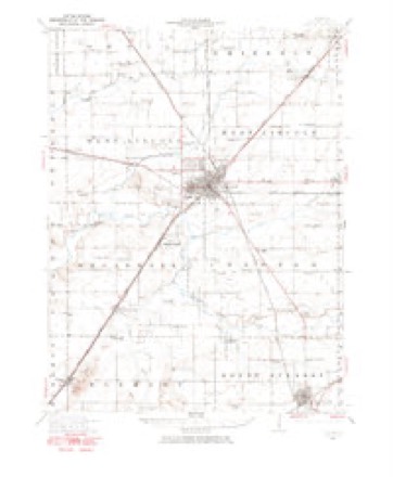
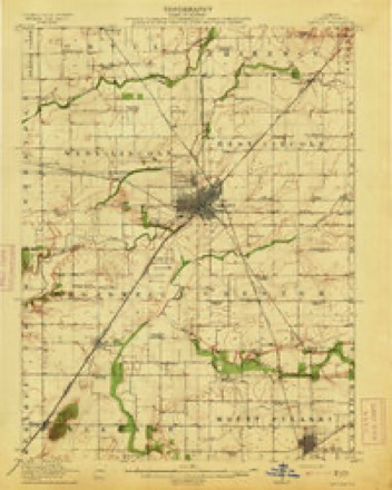
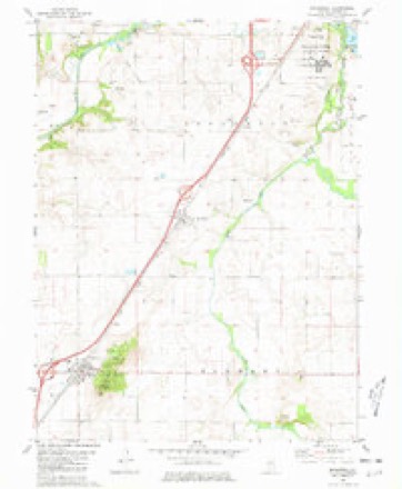
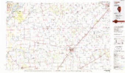
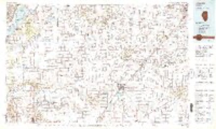
Topographic sheets covering this place
9 surveys from 14 printed sheetsMatched by testing this settlement's coordinate against the published boundary of every sheet in the United States Geological Survey's historical collection. Each opens the scanned sheet at the Survey.
- 1911 USGS Lincoln quadrangle1:62500
- 1913 USGS Lincoln quadrangle1:62500, 3 printings
- 1958 USGS Peoria quadrangle1:250000, 4 printings
- 1961 USGS Peoria quadrangle1:250000
- 1963 USGS Peoria quadrangle1:250000
- 1980 USGS Broadwell quadrangle1:24000
- 1985 USGS Lincoln quadrangle1:100000
- 1989 USGS Lincoln quadrangle1:100000
- 1990 USGS Peoria quadrangle1:250000




In the county-history sources
13,768 words on this townshipHistory of Logan County, Illinois, Together with Sketches of Its Cities, Villages, and Towns, Educational, Religious, Civil, Military, and Political History, Portraits of Prominent Person, and Biographies of Representative Citizens : Also a Condensed History of Illinois, Embodying Accounts of Prehistoric Races, Indian Wars, and a Brief Review of Its Civil and Political History, published 1886 names this settlement in its chapter on Broadwell Township. These are the passages that mention it, exactly as the scans read.
cember 15, 1830, a son of John and Bridget Fogarty. His parents came to America with their four sons, Michael, Patrick, William and John, landing at New York City, May 28, 1852. The parents settled in Orange County, New York, on a farm near Newburgh, and there they lived till their death. Their son John died at Memphis, Tennessee, two years after coming to this country, Michael died soon after his marriage at Newburgh, Patrick dying the same year, leaving a widow and five children. William Fogarty lived with his parents till he came to Logan County, and was employed iu helping the farmers in his neighborhood. He was married January 19, 1856, to Bridget Hickey, born the same year, and a native of the same county as her husband. Shortly after his marriage he came to Logan County, reaching Lincoln, March 21, 1866. After working a few months for Samuel Wilson he bought a team and commenced breaking prairie land for other parties. In 1857 he bought forty acres of land in Sheridan Township, and made his home there for twenty-two years, adding to his first purchase from time to time till he owned 465 acres. He sold his property in Sheridan Township, and March 1, 1879, he moved to section 23, Broadwell Township, buying the Braucher estate, which contained 470 acres. Mr. Fogarty had a small capital of about $250 when he came to Logan County. He was met with great success in all his undertakings, and by industry, combined with good management, he has become one of the most substantial farmers of Broadwell Township. He has added 247 acres to his first purchase in this township, and now has one of the best improved farms in his neighborhood, with good farm buildings. Mr. and Mrs. Fogarty have had six children born to them - Mary Ellen, died, aged two and a half years; Bridget, wife of John Kyan, of Tazewell Connty; John, died, aged ten months; Kate, died, aged nine months; Willie and Julia, still reside with their parents. In politics Mr. Fogarty is identified with the Democratic praty.
Machine-read from a century-old scan, so expect the errors a machine makes: misspelled names, dropped words, stray characters.
Fires near this place
15 since 2008Regional context, not property-specific evidence. The federal wildfire occurrence database lists 15 fires within 5 miles of Fogarty between 2008 and 2020, burning about 95 acres in total. None started naturally. None was recorded as arson. Distance is straight-line from the map coordinates, so a fire counted here may appear on a neighbouring settlement's page as well.
| Reported cause | Fires |
|---|---|
| Missing data/not specified/undetermined | 9 |
| Smoking | 3 |
| Equipment and vehicle use | 2 |
| Debris and open burning | 1 |
The most recent of them, most recent first, with the day each was reported and the service that recorded it.
| Date | Cause | Size | Reported by | Name on the report |
|---|---|---|---|---|
| 1 July 2018 | Equipment and vehicle use | under an acre | Illinois Division of Forestry Resources | 180462 |
| 21 June 2008 | Missing data/not specified/undetermined | 1.0 acres | Illinois Division of Forestry Resources | NO NAME |
| 18 June 2008 | Missing data/not specified/undetermined | under an acre | Illinois Division of Forestry Resources | GRASS |
| 1 June 2018 | Smoking | under an acre | Illinois Division of Forestry Resources | 180354 |
| 7 April 2008 | Missing data/not specified/undetermined | under an acre | Illinois Division of Forestry Resources | ST RT 121 |
| 24 April 2009 | Missing data/not specified/undetermined | 2.0 acres | Illinois Division of Forestry Resources | LIN RUL1 |
| 15 April 2008 | Missing data/not specified/undetermined | 3.0 acres | Illinois Division of Forestry Resources | 1700 |
| 4 March 2018 | Smoking | under an acre | Illinois Division of Forestry Resources | 180162 |
Settlements close enough to share some of these fires:
Mines and quarries near this place
7 within 5 milesRegional context, not property-specific evidence. The federal mineral resources record lists 7 workings within 5 miles of Fogarty: 4 past producers, 2 producers, 1 occurrence. 2 still produce. What was taken out: Sand and Gravel, Construction, Stone, Crushed/Broken, Stone. Distance is straight-line from the map coordinates, so a quarry counted here may appear on a neighbouring settlement's page as well.
| Where | Site | Commodity | Status | Recorded |
|---|---|---|---|---|
| Logan County Pit | Stone | Past Producer | ||
| Broadwell Pit | Sand and Gravel, Construction | Past Producer | ||
| Heinzel Pit | Sand and Gravel, Construction | Past Producer | ||
| Limestone Prospect | Stone, Crushed/Broken | Occurrence | ||
| Lincoln Quarry | Stone, Crushed/Broken | Producer | ||
| Lincoln Sand & Gravel | Sand and Gravel, Construction | Producer | ||
| Unnamed Limestone Quarry | Stone, Crushed/Broken | Past Producer |
Storms near this place
2 since 2020Regional context, not property-specific evidence. The National Weather Service names Fogarty in 2 storm reports between 2020 and 2021: 1 thunderstorm wind, 1 heavy rain. No death or injury is recorded in these reports. Each account below is quoted exactly as the forecast office filed it, from the NOAA Storm Events Database, and each date opens the federal record of that event.
| When | Event | Place named | Harm | What the report says |
|---|---|---|---|---|
| April 2020 | Thunderstorm Wind | Fogarty | $150,000 | Twenty power poles were snapped along 1350th Street near the entrance to the Logan Correctional Center. |
| July 2021 | Heavy Rain | Fogarty | - | As a result of heavy rainfall, a vehicle skidded off the northbound lane of I-55 south of Lincoln in Logan County and was struck by a semi travelling in the southbound lane at about 10:11pm CDT. Four of the five passengers in the vehicle were killed, while the other passenger sustained critical injuries. |
Nearest settlements
The eight closest, with where each one stands in the county. Distances are straight-line, computed from the Geographic Names Information System coordinates.
| Map | Place | Distance | Sheets |
|---|---|---|---|
| Broadwell | 2.2 miles | 14 | |
| Lincoln | 4.8 miles | 14 | |
| Chestervale | 5.2 miles | 14 | |
| Elkhart | 6.0 miles | 14 | |
| Burton View | 6.3 miles | 15 | |
| Bell | 7.0 miles | 15 | |
| Mount Fulcher | 8.6 miles | 17 | |
| Middletown | 9.1 miles | 13 |
Elsewhere
Matched on this settlement's Geographic Names Information System number rather than its name, so it cannot be a different place of the same name in another state.
| Wikidata item Q5464068 | The structured record the population and elevation above come from. Public domain (CC0). |
Provenance
This settlement is recorded in the Geographic Names Information System as feature 1720852. The sheet list is computed by point-in-boundary test against the United States Geological Survey's historical topographic inventory. Both are works of the United States government and carry no copyright under 17 U.S.C. 105.
Wildfire. Short, Karen C. 2022. Spatial wildfire occurrence data for the United States, 1992-2020 [FPA_FOD_20221014]. 6th Edition. Fort Collins, CO: Forest Service Research Data Archive. https://doi.org/10.2737/RDS-2013-0009.6 Collected with United States Government funding and usable without additional permissions or fees.
Mines and quarries. USGS Mineral Resources Data System (MRDS) https://mrdata.usgs.gov/mrds/ A work of the United States government, no copyright under 17 U.S.C. 105.
Storms. NOAA National Centers for Environmental Information, Storm Events Database https://www.ncei.noaa.gov/stormevents/ A work of the United States government, no copyright under 17 U.S.C. 105. Narratives are quoted verbatim from the National Weather Service report and are not edited or summarised.