 Block
Cuba, Illinois
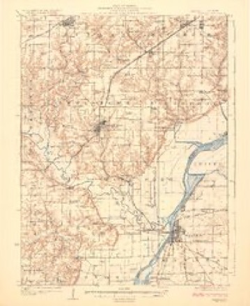
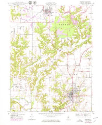
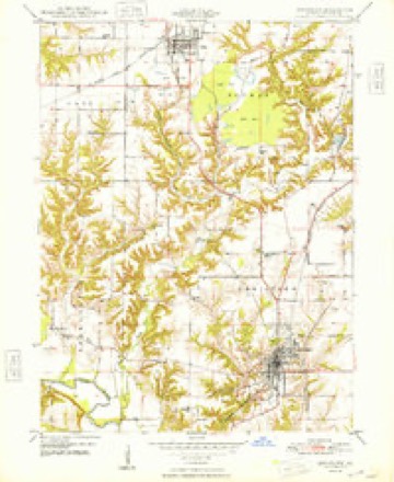
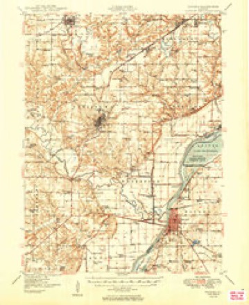
19 topographic sheets cover this place, the earliest surveyed in 1925 and the latest in 1990. It stands in Putman Township. It lies in ZIP code area 61427. The Survey maps it on the Lewistown quadrangle.
Topographic sheets covering this place
10 surveys from 19 printed sheetsMatched by testing this settlement's coordinate against the published boundary of every sheet in the United States Geological Survey's historical collection. Each opens the scanned sheet at the Survey.
- 1925 USGS Havana quadrangle1:62500, 3 printings
- 1947 USGS Lewistown quadrangle1:24000
- 1948 USGS Lewistown quadrangle1:24000, 2 printings
- 1949 USGS Havana quadrangle1:62500, 3 printings
- 1958 USGS Burlington quadrangle1:250000, 4 printings
- 1961 USGS Burlington quadrangle1:250000
- 1963 USGS Burlington quadrangle1:250000
- 1985 USGS Macomb quadrangle1:100000
- 1989 USGS Macomb quadrangle1:100000
- 1990 USGS Burlington quadrangle1:250000, 2 printings




In the county-history sources
5,196 words on this townshipHistory of Fulton County, Illinois;, published 1879 names this settlement in its chapter on Putman Township. These are the passages that mention it, exactly as the scans read.
The first grist-mill was built by Jacob Ellis on Big creek, upon sec. 35, in 1824. This was the first mill in Fulton county. Mr. Ellis also had a cotton-gin here. Much of this article was cultivated in this countv at an earlv dav. The first marria";e was solemnized Feb. 20, 1825, the contracting parties being Asel T. Bali and Miss Rebecca Ellis. Seth Hilton was the first Justice of the Peace. He subsequently moved into Liverpool tOM'nship and became one of its first settlers. The first school Avas taught bv Wm. Putiuan in a small log cabin on sec. 11. The first church was built at Ceuterville (now Cuba) in 1840, by a congregation of the Christian Church. It passed out of their hands and is now owned by the ^lethodist people.
Passage source: History of Fulton County, Illinois;, published 1879.
This town is situated upon the northwest quarter of section 20, and is one of the oldest towns of the county. It is very pleasantly situated in the midst of a fine agricultural district, and is one of the leading places of the county at which coal is mined. Large quantities of coal are shipped from Cuba, and the mines situated northwest of the village are quite extensive. A small railway track is laid from the mines to the depot of the T., P. & W. Ry., a distance of over a mile. Coal is hauled in small cars by horses to the depot.
Passage source: History of Fulton County, Illinois;, published 1879.
Cuba is a good business point and contains several good stores, churches, school-houses, and many pleasant residences. In 1834 Ephraim Brown laid out a little town upon the northwest quarter of sec. 20 which he christened Middletown. Two years afterwards (Nov. 16, 1836) Joel Solomon, D. W. Vittum, Samuel Brooks and T. B. Coggswell, platted another town upon this section and gave it the name of Centerville. Two towns upon one quarter-section was too much, so they were consolidated and named Cuba. Cuba is on the line of the Toledo, Peoria ct Warsaw Ry., and about an equal distance from Canton and Lewistown. It is also on the line oi the Fulton Countv Narrow-Gaug-e Rv., which runs from Fairview to Havana. Grading is now (fall of 1879) progressing finely upon this line.
Passage source: History of Fulton County, Illinois;, published 1879.
Machine-read from a century-old scan, so expect the errors a machine makes: misspelled names, dropped words, stray characters.
Read the whole chapter on Putman Township - it names this place 16 more 16 times.
Fires near this place
6 since 2018Regional context, not property-specific evidence. The federal wildfire occurrence database lists 6 fires within 5 miles of Cuba between 2018 and 2020, burning about 55 acres in total. None started naturally. 1 was recorded as arson. Distance is straight-line from the map coordinates, so a fire counted here may appear on a neighbouring settlement's page as well.
| Reported cause | Fires |
|---|---|
| Debris and open burning | 2 |
| Missing data/not specified/undetermined | 2 |
| Railroad operations and maintenance | 1 |
| Arson/incendiarism | 1 |
The most recent of them, most recent first, with the day each was reported and the service that recorded it.
| Date | Cause | Size | Reported by | Name on the report |
|---|---|---|---|---|
| 7 May 2018 | Missing data/not specified/undetermined | under an acre | Illinois Division of Forestry Resources | 18-032 |
| 4 April 2020 | Railroad operations and maintenance | 20 acres | Illinois Division of Forestry Resources | 20-009 |
| 4 April 2020 | Arson/incendiarism | 1.0 acres | Illinois Division of Forestry Resources | 20-011 |
| 13 April 2019 | Missing data/not specified/undetermined | 22 acres | Illinois Division of Forestry Resources | 19-0025 |
| 23 March 2019 | Debris and open burning | 10 acres | Illinois Division of Forestry Resources | 19-020 |
| 19 March 2019 | Debris and open burning | 1.0 acres | Illinois Division of Forestry Resources | 19-018 |
Settlements close enough to share some of these fires:
Storms near this place
39 since 1993Regional context, not property-specific evidence. The National Weather Service names Cuba in 39 storm reports between 1993 and 2024: 21 thunderstorm wind, 14 hail, 3 flash flood, 1 tornado. No death or injury is recorded in these reports. Each account below is quoted exactly as the forecast office filed it, from the NOAA Storm Events Database, and each date opens the federal record of that event.
| When | Event | Place named | Harm | What the report says |
|---|---|---|---|---|
| July 2009 | Thunderstorm Wind | Cuba | $90,000 | Three houses were damaged by falling trees on the west side of Cuba. A tree was blown down onto a boat. Damage was also reported to several barns and outbuildings 2 miles west of Cuba. |
| April 2014 | Thunderstorm Wind | Cuba | $35,000 | Two power poles were knocked down, a tree fell on a house, and a camper was blown over in Cuba. |
| September 2008 | Flash Flood | Cuba | $35,000 | A road near Lake Wee-Ma-Tuk was washed away. |
| June 2010 | Thunderstorm Wind | Cuba | $25,000 | Numerous tree limbs and power lines were blown down in Cuba. |
| July 2009 | Thunderstorm Wind | Cuba | $20,000 | Several trees and power poles were blown down in Cuba. |
| August 2016 | Thunderstorm Wind | Cuba | $12,000 | A large portion of a tree broke off and fell onto a vehicle in Cuba. |
| June 2009 | Thunderstorm Wind | Cuba | $12,000 | Power lines were blown down between Cuba and Canton. |
| July 2016 | Thunderstorm Wind | Cuba | $10,000 | Several 6 to 10-inch diameter branches were blown down across Route 97 south of Cuba. |
| March 2009 | Thunderstorm Wind | Cuba | $10,000 | Power lines were blown down in Cuba. |
| July 2008 | Thunderstorm Wind | Cuba | $4,000 | Two large trees were blown down. |
| June 2010 | Thunderstorm Wind | Cuba | $3,000 | A large pine tree was blown down onto a deck. |
| August 1993 | Thunderstorm Wind | Cuba | $50 | Large tree limbs were blown down. |
| July 2024 | Thunderstorm Wind | Cuba | - | Numerous tree limbs blown down north of Cuba. |
| June 2023 | Thunderstorm Wind | Cuba | - | The wind gust was estimated by a trained spotter. |
| June 2023 | Thunderstorm Wind | Cuba | - | A one-foot diameter tree was blown down on the east side of Cuba. |
| June 2023 | Thunderstorm Wind | Cuba | - | A 6-inch diameter tree was snapped. |
| June 2023 | Thunderstorm Wind | Cuba | - | Numerous 8 to 10-inch diameter tree branches were blown down. |
| May 2020 | Thunderstorm Wind | Cuba | - | Several 6 to 10-inch diameter trees were blown over in wet soil conditions. |
| May 2020 | Thunderstorm Wind | Cuba | - | Several 6 to 10-inch diameter trees were blown over in wet soil conditions. |
| July 2020 | Thunderstorm Wind | Cuba | - | A 10-inch diameter tree limb was blown down. |
| December 2008 | Flash Flood | Cuba | - | Rapid rises were reported along Put Creek, causing flooding near County Road 2 and along Highway 97. |
| May 2004 | Flash Flood | Cuba | - | Several roads between Cuba and Lewistown were flooded due to heavy rains. |
| July 2002 | Thunderstorm Wind | Cuba | - | Numerous large tree limbs and several trees were blown down in an area from Cuba to five miles northeast of Cuba. |
| June 2001 | Thunderstorm Wind | Cuba | - | Several trees and power lines were blown down. |
| May 1995 | Tornado (F0) | Cuba | - | A tornado briefly touched down in a field 2 W of Cuba. No damage or injuries were reported. |
| April 2023 | Hail | Cuba | - | no account filed |
| April 2023 | Hail | Cuba | - | no account filed |
| April 2023 | Hail | Cuba | - | no account filed |
| May 2019 | Hail | Cuba | - | no account filed |
| April 2017 | Hail | Cuba | - | no account filed |
| August 2016 | Hail | Cuba | - | no account filed |
| June 2013 | Hail | Cuba | - | no account filed |
| April 2013 | Hail | Cuba | - | no account filed |
| April 2013 | Hail | Cuba | - | no account filed |
| April 2011 | Hail | Cuba | - | no account filed |
| July 2008 | Hail | Cuba | - | no account filed |
| July 2008 | Hail | Cuba | - | no account filed |
| May 2004 | Hail | Cuba | - | no account filed |
| May 2003 | Hail | Cuba | - | no account filed |
Nearest settlements
The eight closest, with where each one stands in the county. Distances are straight-line, computed from the Geographic Names Information System coordinates.
| Map | Place | Distance | Sheets |
|---|---|---|---|
| Fulton Center (historical) | 3.8 miles | 17 | |
| Depler Springs | 4.1 miles | 19 | |
| Fiatt | 4.7 miles | 16 | |
| Civer (historical) | 4.9 miles | 17 | |
| Smithfield | 5.5 miles | 18 | |
| Bryant | 5.6 miles | 19 | |
| Buckeye | 6.0 miles | 17 | |
| Blyton | 6.7 miles | 17 |
Provenance
This settlement is recorded in the Geographic Names Information System as feature 424177. The sheet list is computed by point-in-boundary test against the United States Geological Survey's historical topographic inventory. Both are works of the United States government and carry no copyright under 17 U.S.C. 105.
Wildfire. Short, Karen C. 2022. Spatial wildfire occurrence data for the United States, 1992-2020 [FPA_FOD_20221014]. 6th Edition. Fort Collins, CO: Forest Service Research Data Archive. https://doi.org/10.2737/RDS-2013-0009.6 Collected with United States Government funding and usable without additional permissions or fees.
Storms. NOAA National Centers for Environmental Information, Storm Events Database https://www.ncei.noaa.gov/stormevents/ A work of the United States government, no copyright under 17 U.S.C. 105. Narratives are quoted verbatim from the National Weather Service report and are not edited or summarised.