 Block
Buckeye, Illinois
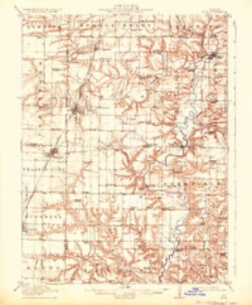
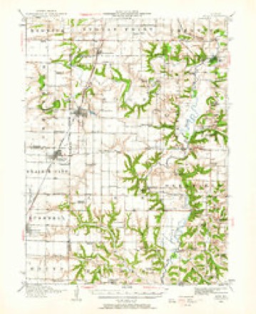
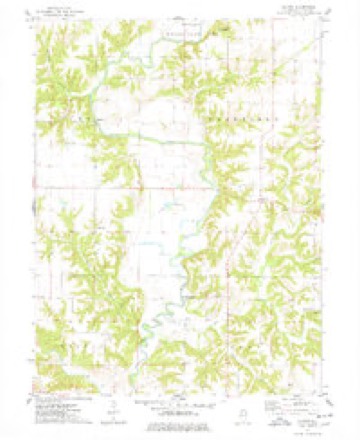
17 topographic sheets cover this place, the earliest surveyed in 1915 and the latest in 1990. It stands in Cass Township. It lies in ZIP code area 61477. It stands on Turkey Creek. The Survey maps it on the Blyton quadrangle.
Topographic sheets covering this place
9 surveys from 17 printed sheetsMatched by testing this settlement's coordinate against the published boundary of every sheet in the United States Geological Survey's historical collection. Each opens the scanned sheet at the Survey.
- 1915 USGS Avon quadrangle1:62500, 3 printings
- 1944 USGS Avon quadrangle1:62500
- 1958 USGS Burlington quadrangle1:250000, 4 printings
- 1961 USGS Burlington quadrangle1:250000
- 1963 USGS Burlington quadrangle1:250000
- 1974 USGS Blyton quadrangle1:24000, 2 printings
- 1985 USGS Galesburg quadrangle1:100000, 2 printings
- 1989 USGS Galesburg quadrangle1:100000
- 1990 USGS Burlington quadrangle1:250000, 2 printings




In the county-history sources
9,894 words on this townshipHistory of Fulton County, Illinois;, published 1879 names this settlement in its chapter on Cass Township. These are the passages that mention it, exactly as the scans read.
On the 'iOth of March, 1877, little Jinimie Couch, a boy of eight summers, while on his way home from school stojiped by the wayside with the other children to gather some early spring flowers. By some means he got out of sight and hearing of his comj)anions, and thev went home without him. The alarm of a "lost boy" was raised, the neighbors turned out and search was nuide, but no trace of him was discovered until the next morning. He was traced by spots of blood that his little scratched and torn feet had left upon the ground. He waded the lakes and ])<»nds in Pleasant Valley, on Spoon river, in water up to his arm-pits. His steps during the last half-mile of this fatal march were only six inches in length. The little hero was found that morning lying dead upon the river bank just above Buckeye ferry in this townshij). One hand was thrown over his head; in the other he held his little cap.
Passage source: History of Fulton County, Illinois;, published 1879.
Joseph A. Tussing, bkicksmith, Sniithfield, is a son of Henry Tussing, a native of Germany, and was born in Ohio, June 13, 1825. He was educated in the common schools of the Buckeye State and came to this county in 1861. He became an orphan early in life and has suffered many hard knocks among strangers. He served 3 years in the Rebellion in Co. I, 8th Mo. Inf and 10 months in Co. I, 14()th 111. luf He participated in 18 battles, and was -slightly wounded. While in one battle a ball passed through liis cap box and ruined his watch, which however saved his life. He was married to Caroline McCorkle in Jan., 1847, who bore him one child, now deceased. He married Miss M. J. M. Greenman in 1850; one child, Wm. R., was the result of this union. The third time he was married to Clarissa Shoemaker, Jan. 5, 1879. Having lost two wives and being bereft of parents when quite young Mr. T's life thus far has been accompanied with much sadness.
Passage source: History of Fulton County, Illinois;, published 1879.
Machine-read from a century-old scan, so expect the errors a machine makes: misspelled names, dropped words, stray characters.
Read the whole chapter on Cass Township - it names this place 1 more 1 time.
Fires near this place
6 since 2019Regional context, not property-specific evidence. The federal wildfire occurrence database lists 6 fires within 5 miles of Buckeye between 2019 and 2020, burning about 45 acres in total. None started naturally. 1 was recorded as arson. Distance is straight-line from the map coordinates, so a fire counted here may appear on a neighbouring settlement's page as well.
| Reported cause | Fires |
|---|---|
| Debris and open burning | 3 |
| Railroad operations and maintenance | 1 |
| Arson/incendiarism | 1 |
| Missing data/not specified/undetermined | 1 |
The most recent of them, most recent first, with the day each was reported and the service that recorded it.
| Date | Cause | Size | Reported by | Name on the report |
|---|---|---|---|---|
| 4 April 2020 | Railroad operations and maintenance | 20 acres | Illinois Division of Forestry Resources | 20-009 |
| 4 April 2020 | Arson/incendiarism | 1.0 acres | Illinois Division of Forestry Resources | 20-011 |
| 4 April 2020 | Debris and open burning | 1.4 acres | Illinois Division of Forestry Resources | 20-012 |
| 4 April 2020 | Debris and open burning | under an acre | Illinois Division of Forestry Resources | 20-013 |
| 13 April 2019 | Missing data/not specified/undetermined | 22 acres | Illinois Division of Forestry Resources | 19-0025 |
| 28 March 2019 | Debris and open burning | under an acre | Illinois Division of Forestry Resources | 19-023 |
Settlements close enough to share some of these fires:
Mines and quarries near this place
1 within 5 milesRegional context, not property-specific evidence. The federal mineral resources record lists 1 working within 5 miles of Buckeye: 1 past producer. None of them still produces. What was taken out: Sand and Gravel, Construction. Distance is straight-line from the map coordinates, so a quarry counted here may appear on a neighbouring settlement's page as well.
| Where | Site | Commodity | Status | Recorded |
|---|---|---|---|---|
| Spoon River Pit | Sand and Gravel, Construction | Past Producer |
Nearest settlements
The eight closest, with where each one stands in the county. Distances are straight-line, computed from the Geographic Names Information System coordinates.
| Map | Place | Distance | Sheets |
|---|---|---|---|
| Blyton | 2.4 miles | 17 | |
| Smithfield | 4.0 miles | 18 | |
| Seville | 4.3 miles | 18 | |
| Checkrow | 4.9 miles | 16 | |
| Babylon | 5.1 miles | 17 | |
| Poverty Ridge | 5.5 miles | 18 | |
| Marietta | 5.8 miles | 16 | |
| Cuba | 6.0 miles | 19 |
Provenance
This settlement is recorded in the Geographic Names Information System as feature 1802204. The sheet list is computed by point-in-boundary test against the United States Geological Survey's historical topographic inventory. Both are works of the United States government and carry no copyright under 17 U.S.C. 105.
Wildfire. Short, Karen C. 2022. Spatial wildfire occurrence data for the United States, 1992-2020 [FPA_FOD_20221014]. 6th Edition. Fort Collins, CO: Forest Service Research Data Archive. https://doi.org/10.2737/RDS-2013-0009.6 Collected with United States Government funding and usable without additional permissions or fees.
Mines and quarries. USGS Mineral Resources Data System (MRDS) https://mrdata.usgs.gov/mrds/ A work of the United States government, no copyright under 17 U.S.C. 105.