 Block
Cameron, Illinois
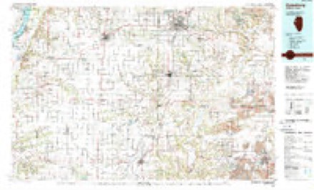
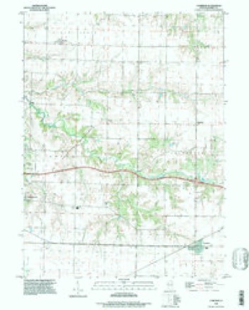
18 topographic sheets cover this place, the earliest surveyed in 1921 and the latest in 1996. It stands in Floyd Township. It lies in ZIP code area 61423. The Survey maps it on the Cameron quadrangle. 188 people lived here at the 2020 count. It stands 771 feet above sea level.
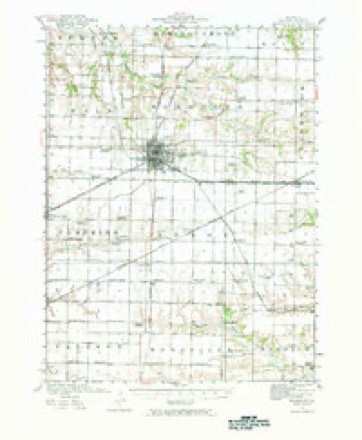
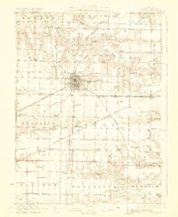
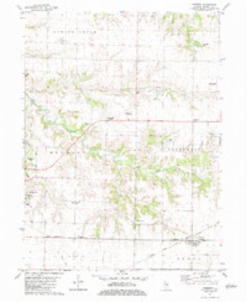
Topographic sheets covering this place
10 surveys from 18 printed sheetsMatched by testing this settlement's coordinate against the published boundary of every sheet in the United States Geological Survey's historical collection. Each opens the scanned sheet at the Survey.
- 1921 USGS Monmouth quadrangle1:62500, 3 printings
- 1923 USGS Monmouth quadrangle1:62500, 2 printings
- 1958 USGS Burlington quadrangle1:250000, 4 printings
- 1961 USGS Burlington quadrangle1:250000
- 1963 USGS Burlington quadrangle1:250000
- 1982 USGS Cameron quadrangle1:24000
- 1985 USGS Galesburg quadrangle1:100000, 2 printings
- 1989 USGS Galesburg quadrangle1:100000
- 1990 USGS Burlington quadrangle1:250000, 2 printings
- 1996 USGS Cameron quadrangle1:24000




In the county-history sources
5,538 words on this townshipPortrait and Biographical Album of Warren County, Illinois : Containing Full Page Portraits and Biographical Sketches of Prominent and Representative Citizens of the County, Together with Portraits and Biographies of All the Governors of Illinois, and of the Presidents of the United States ; Also Containing a History of the County, from Its Earliest Settlement Up to the Present Time, published 1886 names this settlement in its chapter on Floyd Township. These are the passages that mention it, exactly as the scans read.
The township is watered by Slug Creek and its tributaries, which run southeasterly into Berwick, uniting with Nigger Creek, which empties into Spoon River. The land in this township is nearly all prairie, with slight undulations, except in the southwest portion, where it is timbered and somewhat broken. Along the upper line of the township is the divide, the waters on the north emptying into the Henderson and then into the Mississippi, and those on the South into Spoon River, and then into the Illinois River. The principal crops raised now, are corn and hay. It was once a very heavy producing township in all the cereals, but the land became worn out and a change of product was necessary. The farms in the township are all good and well managed. The dwelling houses are comfortable, and many of them are constructed with taste. In all the school districts are good schools and good school buildings. The Chicago, Burlington & Quincy Railroad passes along the northern line of this township, or between this and Cold Brook. The nearest depot and trading place is Cameron. In population it is estimated that Floyd has not lost in numbers since 1880, it containing then, according to the census reports, 1,162.
Machine-read from a century-old scan, so expect the errors a machine makes: misspelled names, dropped words, stray characters.
Read the whole chapter on Floyd Township - it names this place 1 more 1 time.
Fires near this place
1 since 2014Regional context, not property-specific evidence. The federal wildfire occurrence database lists 1 fire within 5 miles of Cameron in 2014, burning about 3 acres in total. None started naturally. None was recorded as arson. Distance is straight-line from the map coordinates, so a fire counted here may appear on a neighbouring settlement's page as well.
| Reported cause | Fires |
|---|---|
| Debris and open burning | 1 |
The most recent of them, most recent first, with the day each was reported and the service that recorded it.
| Date | Cause | Size | Reported by | Name on the report |
|---|---|---|---|---|
| 22 May 2014 | Debris and open burning | 3.0 acres | Illinois Division of Forestry Resources | 2014-341 |
Settlements close enough to share some of these fires:
Storms near this place
7 since 2004Regional context, not property-specific evidence. The National Weather Service names Cameron in 7 storm reports between 2004 and 2020: 4 thunderstorm wind, 3 hail. No death or injury is recorded in these reports. Each account below is quoted exactly as the forecast office filed it, from the NOAA Storm Events Database, and each date opens the federal record of that event.
| When | Event | Place named | Harm | What the report says |
|---|---|---|---|---|
| July 2004 | Thunderstorm Wind | Cameron | $2,000 | 4 foot diameter tree uprooted with power lines down. |
| June 2020 | Thunderstorm Wind | Cameron | - | A 911 Operator reported that power lines were down in Cameron due to thunderstorm winds. |
| August 2017 | Hail | Cameron | - | A trained spotter reported that hail was nearly covering the ground. The largest stone was half dollar size. Time of the event was estimated using radar. |
| May 2011 | Hail | Cameron | - | Golf ball sized hail fell 2 miles southeast of Cameron, IL at 740 pm CDT May 22. |
| June 2011 | Thunderstorm Wind | Cameron | - | Wind gusts estimated to be 60 mph blew down some tree branches and snapped some corn stalks near Cameron, IL at 1042 pm CDT June 26. |
| September 2011 | Hail | Cameron | - | Quarter sized hail fell in Cameron, IL around 350 pm CDT September 3. |
| July 2009 | Thunderstorm Wind | Cameron | - | Wind gusts estimated to be 65 mph blew down several 2 to 4 inch diameter tree limbs about 2 miles southeast of Cameron, IL around 1100 pm July 24. |
Nearest settlements
The eight closest, with where each one stands in the county. Distances are straight-line, computed from the Geographic Names Information System coordinates.
Elsewhere
Matched on this settlement's Geographic Names Information System number rather than its name, so it cannot be a different place of the same name in another state.
| Wikipedia article on Cameron | An encyclopaedic summary. Its text is share-alike, so it is linked here rather than copied. |
| Wikidata item Q5026152 | The structured record the population and elevation above come from. Public domain (CC0). |
Provenance
This settlement is recorded in the Geographic Names Information System as feature 405427. The sheet list is computed by point-in-boundary test against the United States Geological Survey's historical topographic inventory. Both are works of the United States government and carry no copyright under 17 U.S.C. 105.
Wildfire. Short, Karen C. 2022. Spatial wildfire occurrence data for the United States, 1992-2020 [FPA_FOD_20221014]. 6th Edition. Fort Collins, CO: Forest Service Research Data Archive. https://doi.org/10.2737/RDS-2013-0009.6 Collected with United States Government funding and usable without additional permissions or fees.
Storms. NOAA National Centers for Environmental Information, Storm Events Database https://www.ncei.noaa.gov/stormevents/ A work of the United States government, no copyright under 17 U.S.C. 105. Narratives are quoted verbatim from the National Weather Service report and are not edited or summarised.