 Block
Berwick, Illinois
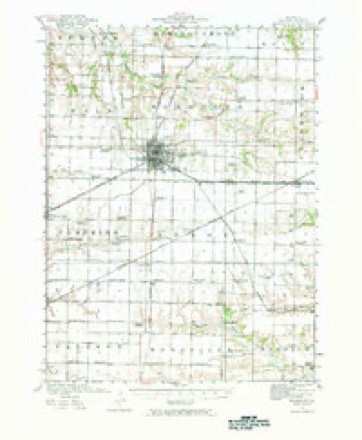
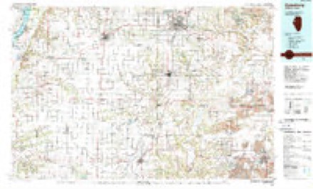
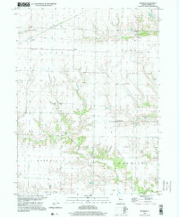
18 topographic sheets cover this place, the earliest surveyed in 1921 and the latest in 1998. It stands in Berwick Township. It lies in ZIP code area 61417. The Survey maps it on the Berwick quadrangle. It stands 709 feet above sea level.
Topographic sheets covering this place
10 surveys from 18 printed sheetsMatched by testing this settlement's coordinate against the published boundary of every sheet in the United States Geological Survey's historical collection. Each opens the scanned sheet at the Survey.
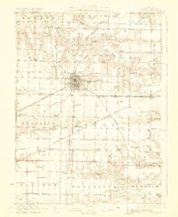
- 1921 USGS Monmouth quadrangle1:62500, 3 printings
- 1923 USGS Monmouth quadrangle1:62500, 2 printings
- 1958 USGS Burlington quadrangle1:250000, 4 printings
- 1961 USGS Burlington quadrangle1:250000
- 1963 USGS Burlington quadrangle1:250000
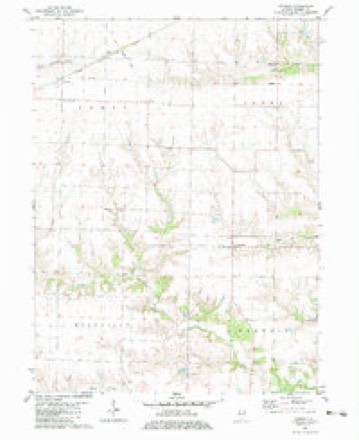
- 1982 USGS Berwick quadrangle1:24000
- 1985 USGS Galesburg quadrangle1:100000, 2 printings
- 1989 USGS Galesburg quadrangle1:100000
- 1990 USGS Burlington quadrangle1:250000, 2 printings
- 1998 USGS Berwick quadrangle1:24000




In the county-history sources
1,848 words on this townshipPortrait and Biographical Album of Warren County, Illinois : Containing Full Page Portraits and Biographical Sketches of Prominent and Representative Citizens of the County, Together with Portraits and Biographies of All the Governors of Illinois, and of the Presidents of the United States ; Also Containing a History of the County, from Its Earliest Settlement Up to the Present Time, published 1886 names this settlement in its chapter on Berwick Township. These are the passages that mention it, exactly as the scans read.
Miss Jane Allen taught the first school in the township, in 1835, in a log school house built by Thomas Pearce, near where the village of Berwick now is. This school house had no doors or windows, or what these are understood to be in modern times. There were holes in the wall to admit light and air, and one also for egress and exit, and this was all. And here in this rudely constructed cabin the first children of Berwick Township, with the ruddy glow on their cheeks, with the bright sparkle in their eye, with innocence and hope in their young hearts, commenced their education, directed by their devoted teacher, Jane Allen. Here they commenced to learn lessons in books and lessons in life, and fit themselves for the duties which in after years were to be imposed upon them. What hopes and aspirations may have filled these young hearts just entering upon this world's stage ! What ties formed here, that may have been stronger in after years than chains of brass or steel ! What a contrast between this rude cabin and the finished school-house of today ! And yet with all our improvements and what we call our advanced civilization, with our Female Seminaries and Boarding Schools, and all our modern adjuncts to study, is there any one prepared to say that the pupil of to-day learns better than those did then ?
The Iowa Central runs through the township, entering at the northwest corner and running along through the northern tier of sections. It was completed through here in January, 1883. In 1880, Berwick had a population of 1,003 souls, and this is about the number of inhabitants at the present time.
N r836 Thomas Pearce and Samuel G. Morse thought that the township was of sufficient importance, in population at least, to warrant them in founding a village. Accordingly they laid out their plat. It was located on the west half of the northwest quarter of section 5, and the east half of the northeast quarter of section 6, and contained fifty and five-eighths acres. It was first called Bowling Green, but was subsequently changed to Berwick. It was surveyed by Peter Butler, and the plat was recorded July 14, of the same year.
Machine-read from a century-old scan, so expect the errors a machine makes: misspelled names, dropped words, stray characters.
Read the whole chapter on Berwick Township - it names this place 2 more 2 times.
Fires near this place
1 since 2013Regional context, not property-specific evidence. The federal wildfire occurrence database lists 1 fire within 5 miles of Berwick in 2013, burning about 7 acres in total. None started naturally. None was recorded as arson. Distance is straight-line from the map coordinates, so a fire counted here may appear on a neighbouring settlement's page as well.
| Reported cause | Fires |
|---|---|
| Equipment and vehicle use | 1 |
The most recent of them, most recent first, with the day each was reported and the service that recorded it.
| Date | Cause | Size | Reported by | Name on the report |
|---|---|---|---|---|
| 5 September 2013 | Equipment and vehicle use | 7.0 acres | Illinois Division of Forestry Resources | 201353 |
Settlements close enough to share some of these fires:
Storms near this place
4 since 2009Regional context, not property-specific evidence. The National Weather Service names Berwick in 4 storm reports between 2009 and 2023: 3 thunderstorm wind, 1 tornado. No death or injury is recorded in these reports. Each account below is quoted exactly as the forecast office filed it, from the NOAA Storm Events Database, and each date opens the federal record of that event.
| When | Event | Place named | Harm | What the report says |
|---|---|---|---|---|
| June 2009 | Thunderstorm Wind | Berwick | $250 | Wind gusts estimated to be 60 mph blew a tree limb and some road signs down about 1 mile south of Berwick, IL around 730 pm June 23. |
| May 2023 | Thunderstorm Wind | Berwick | - | One outbuilding destroyed and another heavily damaged with a couple large trees uprooted. Maximum wind speeds estimated 80-90 mph. |
| August 2021 | Tornado (EFU) | Berwick | - | A trained spotter observed a brief tornado touchdown in a corn field. The tornado path through the corn was about 200 yards long and 30 yards wide. There was no observable damage that could be used to assign a rating for the tornado. |
| July 2009 | Thunderstorm Wind | Berwick | - | Wind gusts were estimated to be 50 to 60 mph about 3 miles east of Berwick, IL around 1115 pm July 24. |
Nearest settlements
The eight closest, with where each one stands in the county. Distances are straight-line, computed from the Geographic Names Information System coordinates.
Elsewhere
Matched on this settlement's Geographic Names Information System number rather than its name, so it cannot be a different place of the same name in another state.
| Wikipedia article on Berwick | An encyclopaedic summary. Its text is share-alike, so it is linked here rather than copied. |
| Wikidata item Q4895960 | The structured record the population and elevation above come from. Public domain (CC0). |
Provenance
This settlement is recorded in the Geographic Names Information System as feature 404232. The sheet list is computed by point-in-boundary test against the United States Geological Survey's historical topographic inventory. Both are works of the United States government and carry no copyright under 17 U.S.C. 105.
Wildfire. Short, Karen C. 2022. Spatial wildfire occurrence data for the United States, 1992-2020 [FPA_FOD_20221014]. 6th Edition. Fort Collins, CO: Forest Service Research Data Archive. https://doi.org/10.2737/RDS-2013-0009.6 Collected with United States Government funding and usable without additional permissions or fees.
Storms. NOAA National Centers for Environmental Information, Storm Events Database https://www.ncei.noaa.gov/stormevents/ A work of the United States government, no copyright under 17 U.S.C. 105. Narratives are quoted verbatim from the National Weather Service report and are not edited or summarised.