 Block
Casner, Illinois
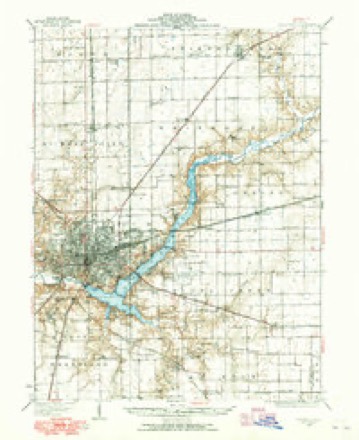
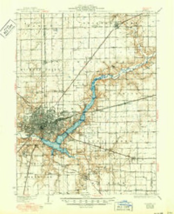
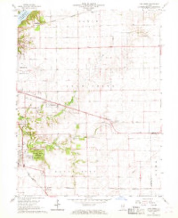
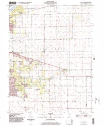
14 topographic sheets cover this place, the earliest surveyed in 1929 and the latest in 1998. It stands in Long Creek Township. It lies in ZIP code area 62501. The Survey maps it on the Long Creek quadrangle.
Topographic sheets covering this place
7 surveys from 14 printed sheetsMatched by testing this settlement's coordinate against the published boundary of every sheet in the United States Geological Survey's historical collection. Each opens the scanned sheet at the Survey.
- 1929 USGS Decatur quadrangle1:62500
- 1933 USGS Decatur quadrangle1:62500, 3 printings
- 1958 USGS Decatur quadrangle1:250000, 3 printings
- 1961 USGS Decatur quadrangle1:250000, 2 printings
- 1967 USGS Long Creek quadrangle1:24000, 2 printings
- 1985 USGS Decatur quadrangle1:100000, 2 printings
- 1998 USGS Long Creek quadrangle1:24000



In the county-history sources
4,495 words on this townshipHistory of Macon County, Illinois : with Illustrations Descriptive of Its Scenery, and Biographical Sketches of Some of Its Prominent Men and Pioneers, published 1880 names this settlement in its chapter on Long Creek Township. These are the passages that mention it, exactly as the scans read.
Transportation Facilities. - Long Creek is well supplied with good wagon roads, and the streams are spanned with convenient and durable bridges. The Indianapolis, Decatur and Springfield R. R crosses the township in a western and north-westerly direction, enters it on section 33, Tp. 16-4, about the middle of the section, and its line is due west for nearly three miles, when it assumes a northwesterly direction, and crosses the Sangamon on section 19, Tp. 16-3. There are three stations, Long creek, Antioch-flag-station, and Casner, the latter of which is the most important. This road affords excellent facilities for the shipment of the various products of the township; since the building of the road, many farms have been opened up, the lands have advanced in value, and population increased.
Passage source: History of Macon County, Illinois : with Illustrations Descriptive of Its Scenery, and Biographical Sketches of Some of Its Prominent Men and Pioneers, published 1880.
Is located on section 31, Tp. 16-4 on the line of the I. D. & S. R. R., and is a station of the above road. This village was named in honor of its founder, L. B. Casner, who is now one of the leading farmers and stock-raisers, not only of this township, but also of Macon county. It was established in 1877, and the first house was built by Mr. Casner - he also kept the first post-office, which was also named Casner. J. H. Lord carried on the first blacksmith shop, and Dr. M. V. Lonergon was the first resident physician. J. H. Crowder taught the first school in the village, and the first church was erected in 1876 by the United Brethren.
Passage source: History of Macon County, Illinois : with Illustrations Descriptive of Its Scenery, and Biographical Sketches of Some of Its Prominent Men and Pioneers, published 1880.
Both the paternal and maternal ancestors of the Casner family were Germans. Mathias Casner, the paternal grandfather came from Germany, and settled in Cumberland county, Pa. Peter Casner was born in that county, November 17th, 1801. He came west to Ohio with his father in 1811, and remained there until 1831, or until he was thirty years of age, when he removed to Mercer county, Illinois, and remained there four years, and then came to Macon county, Illinois, and settled in Long Creek township, where he entered three hundred and twenty acres of land, in section 31, T. 16, R. 4 E. He also traded Mexican war land warrants for other tracts of land. He remained in the township until his death, which occurred October 25th, 1851, while on a visit to his daughter in Mercer county. He married Annah Holderman. She was born October 31st, 1803. She died April 3d, 1865. The Holderman family moved from Kentucky to Ohio in 1817, and settled'in Pickaway county. There were five children born to Peter and Annah Casner - four sons and one daughter. Their names are Jemima, wife of Jacob Bear ; George W., who met his death accidentally, July 11th, 1879 ; Christopher, a resident of Piatt county, and L. B. Casner ; Hanson, the youngest of the family, died at the age of twenty-two years. Lewis B. was born in Pickaway county,
Passage source: History of Macon County, Illinois : with Illustrations Descriptive of Its Scenery, and Biographical Sketches of Some of Its Prominent Men and Pioneers, published 1880.
Machine-read from a century-old scan, so expect the errors a machine makes: misspelled names, dropped words, stray characters.
Read the whole chapter on Long Creek Township - it names this place 1 more 1 time.
Mines and quarries near this place
2 within 5 milesRegional context, not property-specific evidence. The federal mineral resources record lists 2 workings within 5 miles of Casner: 2 past producers. None of them still produces. What was taken out: Sand and Gravel, Construction. Distance is straight-line from the map coordinates, so a quarry counted here may appear on a neighbouring settlement's page as well.
| Where | Site | Commodity | Status | Recorded |
|---|---|---|---|---|
| Burgett Pit | Sand and Gravel, Construction | Past Producer | ||
| Mt. Zion Sand & Gravel Pit | Sand and Gravel, Construction | Past Producer |
Storms near this place
3 since 2014Regional context, not property-specific evidence. The National Weather Service names Casner in 3 storm reports between 2014 and 2019: 2 thunderstorm wind, 1 lightning. No death or injury is recorded in these reports. Each account below is quoted exactly as the forecast office filed it, from the NOAA Storm Events Database, and each date opens the federal record of that event.
| When | Event | Place named | Harm | What the report says |
|---|---|---|---|---|
| June 2019 | Thunderstorm Wind | Casner | $60,000 | Twelve power poles were blown down along US-36 between Shaw Road and Coffee Pot Circle. |
| April 2014 | Thunderstorm Wind | Casner | $15,000 | A semi truck was blown over on US Route 36 just east of Decatur. |
| May 2019 | Lightning | Casner | $1,000 | A house on Goodwin Court just east of Mt. Zion was struck by lightning, causing a small fire. |
Nearest settlements
The eight closest, with where each one stands in the county. Distances are straight-line, computed from the Geographic Names Information System coordinates.
| Map | Place | Distance | Sheets |
|---|---|---|---|
| Long Creek | 3.1 miles | 14 | |
| Prairie Hall | 3.2 miles | 14 | |
| Hervey City | 4.4 miles | 14 | |
| Mount Zion | 4.8 miles | 14 | |
| Oakley | 5.3 miles | 14 | |
| Chapin | 5.7 miles | 14 | |
| Sangamon | 5.7 miles | 14 | |
| Faries Park (historical) | 6.7 miles | 14 |
Provenance
This settlement is recorded in the Geographic Names Information System as feature 405685. The sheet list is computed by point-in-boundary test against the United States Geological Survey's historical topographic inventory. Both are works of the United States government and carry no copyright under 17 U.S.C. 105.
Mines and quarries. USGS Mineral Resources Data System (MRDS) https://mrdata.usgs.gov/mrds/ A work of the United States government, no copyright under 17 U.S.C. 105.
Storms. NOAA National Centers for Environmental Information, Storm Events Database https://www.ncei.noaa.gov/stormevents/ A work of the United States government, no copyright under 17 U.S.C. 105. Narratives are quoted verbatim from the National Weather Service report and are not edited or summarised.