 Block
Long Creek, Illinois
14 topographic sheets cover this place, the earliest surveyed in 1929 and the latest in 1998. It stands in Long Creek Township. It lies in ZIP code area 62521. It stands on Big Creek. The Survey maps it on the Long Creek quadrangle. 1,261 people lived here at the 2020 count. It stands 663 feet above sea level.
Population over time
2 figuresLong Creek fell from 1,328 to 1,261 between 2010 and 2020. These are the recorded population figures Wikidata holds for this place, reached through the Geographic Names Information System number this page is keyed on rather than by name, so they belong to this place and not to another of the same name. Most are census counts, but not all are: an early figure may be a founding or settlement estimate, and an estimate published within five years of a census is left out. The change column is computed, and is left blank where more than 20 years separate a figure from the one before it, because a gap that long is not a change between two counts.
| Year | People | Change |
|---|---|---|
| 2010 | 1,328 | |
| 2020 | 1,261 | -67 (-5%) |
Topographic sheets covering this place
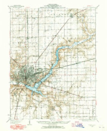
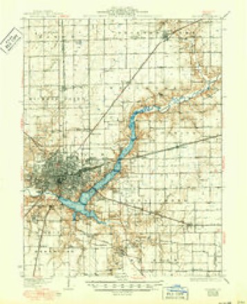
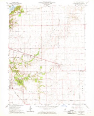
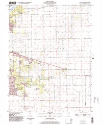
7 surveys from 14 printed sheetsMatched by testing this settlement's coordinate against the published boundary of every sheet in the United States Geological Survey's historical collection. Each opens the scanned sheet at the Survey.
- 1929 USGS Decatur quadrangle1:62500
- 1933 USGS Decatur quadrangle1:62500, 3 printings
- 1958 USGS Decatur quadrangle1:250000, 3 printings
- 1961 USGS Decatur quadrangle1:250000, 2 printings
- 1967 USGS Long Creek quadrangle1:24000, 2 printings
- 1985 USGS Decatur quadrangle1:100000, 2 printings
- 1998 USGS Long Creek quadrangle1:24000



In the county-history sources
4,495 words on this townshipHistory of Macon County, Illinois : with Illustrations Descriptive of Its Scenery, and Biographical Sketches of Some of Its Prominent Men and Pioneers, published 1880 names this settlement in its chapter on Long Creek Township. These are the passages that mention it, exactly as the scans read.
In the fall of 1828 a band of the Kickapoo tribe of Indians encamped for several weeks on Long Creek, and were engaged in trapping, hunting and fishing. After a time they began to wander to other portions of the county where there were settlements, and not being satisfied with the game they could capture, began killing a few hogs and stealing poultry from the settlers. Finally a party of men from the "Ward" settlement came over and ordered them away. They soon after broke camp, and left without doing further damage. After 1830 settlers began to come into what is now Long Creek quite rapidly. In that year John Florey, a Virginian by birth, located with his family on section 26 (township 16, range 3), where he erected a cabin and made other improvements. The same year (1830) came Newton N. Baker, who settled on section 29 in the above township. Mr. Baker was born in Lincoln county, North Carolina, February 28, 1803, and when eleven years old removed with his father's family to Rutherford county, Tennessee. He was married in 1853 to Tabitha J. Hodge, and died May 27, 1872. Mr. Baker's wife was born in Orange county, North Carolina, in 1814, and removed with her parents to Illinois in 1829, first locating in Sangamon county, and the next year moved to Macon county. Several of their descendants are yet residents of this county.
Passage source: History of Macon County, Illinois : with Illustrations Descriptive of Its Scenery, and Biographical Sketches of Some of Its Prominent Men and Pioneers, published 1880.
The first church organized was the Methodist, in the year 1835, and the first building was erected in 1842. The first Sabbathschool was established in 1839, and was attended by the children of all denominations. At this writing, the citizens of Long Creek are well supplied with church and school facilties.
Passage source: History of Macon County, Illinois : with Illustrations Descriptive of Its Scenery, and Biographical Sketches of Some of Its Prominent Men and Pioneers, published 1880.
Township Organization. - On the adoption of township organization, the territory now embraced within the boundaries of Long Creek was formed into an election precinct, and the supervisors elected from the several precincts became the governing power of the county. We append the following list of supervisors and the date of their election, and time of service.
Passage source: History of Macon County, Illinois : with Illustrations Descriptive of Its Scenery, and Biographical Sketches of Some of Its Prominent Men and Pioneers, published 1880.
Machine-read from a century-old scan, so expect the errors a machine makes: misspelled names, dropped words, stray characters.
Read the whole chapter on Long Creek Township - it names this place 7 more 7 times.
Mines and quarries near this place
3 within 5 milesRegional context, not property-specific evidence. The federal mineral resources record lists 3 workings within 5 miles of Long Creek: 3 past producers. None of them still produces. What was taken out: Sand and Gravel, Construction. Distance is straight-line from the map coordinates, so a quarry counted here may appear on a neighbouring settlement's page as well.
| Where | Site | Commodity | Status | Recorded |
|---|---|---|---|---|
| Burgett Pit | Sand and Gravel, Construction | Past Producer | ||
| Chastain Construction Co. Pit | Sand and Gravel, Construction | Past Producer | ||
| Mt. Zion Sand & Gravel Pit | Sand and Gravel, Construction | Past Producer |
Storms near this place
8 since 1998Regional context, not property-specific evidence. The National Weather Service names Long Creek in 8 storm reports between 1998 and 2024: 4 hail, 3 thunderstorm wind, 1 flash flood. No death or injury is recorded in these reports. Each account below is quoted exactly as the forecast office filed it, from the NOAA Storm Events Database, and each date opens the federal record of that event.
| When | Event | Place named | Harm | What the report says |
|---|---|---|---|---|
| July 2015 | Thunderstorm Wind | Long Creek | $80,000 | Shingles were blown off several homes, small sheds were damaged, numerous trees were damaged, and power lines were knocked down in Long Creek. |
| May 2008 | Thunderstorm Wind | Long Creek | $5,000 | Power pole was broken. |
| May 2024 | Flash Flood | Long Creek | - | Water was flowing across the road in the 2200 block of Esther Avenue due to 1 to 3 inches of rain falling in a short amount of time. |
| June 1998 | Thunderstorm Wind | Long Creek | - | Thunderstorm winds blew down several power lines and tree limbs in Long Creek and Mt. Zion. |
| May 2024 | Hail | Long Creek | - | no account filed |
| May 2024 | Hail | Long Creek | - | no account filed |
| September 2017 | Hail | Long Creek | - | no account filed |
| April 2010 | Hail | Long Creek | - | no account filed |
Nearest settlements
The eight closest, with where each one stands in the county. Distances are straight-line, computed from the Geographic Names Information System coordinates.
| Map | Place | Distance | Sheets |
|---|---|---|---|
| Casner | 3.1 miles | 14 | |
| Mount Zion | 3.1 miles | 14 | |
| Sangamon | 3.8 miles | 14 | |
| Hervey City | 3.9 miles | 14 | |
| Turpin | 4.1 miles | 14 | |
| Faries Park (historical) | 4.4 miles | 14 | |
| Oakley | 4.9 miles | 14 | |
| Prairie Hall | 5.1 miles | 14 |
Elsewhere
Matched on this settlement's Geographic Names Information System number rather than its name, so it cannot be a different place of the same name in another state.
| Wikipedia article on Long Creek | An encyclopaedic summary. Its text is share-alike, so it is linked here rather than copied. |
| Wikidata item Q2672386 | The structured record the population and elevation above come from. Public domain (CC0). |
Provenance
This settlement is recorded in the Geographic Names Information System as feature 412559. The sheet list is computed by point-in-boundary test against the United States Geological Survey's historical topographic inventory. Both are works of the United States government and carry no copyright under 17 U.S.C. 105.
Mines and quarries. USGS Mineral Resources Data System (MRDS) https://mrdata.usgs.gov/mrds/ A work of the United States government, no copyright under 17 U.S.C. 105.
Storms. NOAA National Centers for Environmental Information, Storm Events Database https://www.ncei.noaa.gov/stormevents/ A work of the United States government, no copyright under 17 U.S.C. 105. Narratives are quoted verbatim from the National Weather Service report and are not edited or summarised.