 Block
Sangamon, Illinois
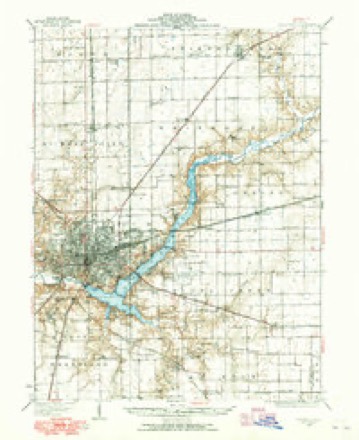
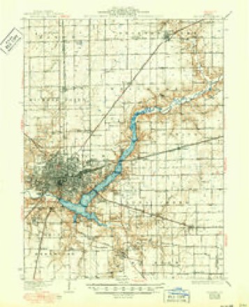
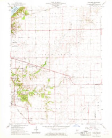
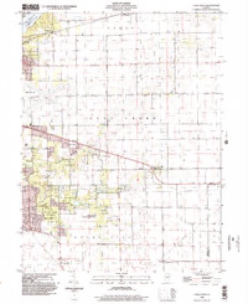
14 topographic sheets cover this place, the earliest surveyed in 1929 and the latest in 1998. It stands in Oakley Township. It lies in ZIP code area 62521. The Survey maps it on the Long Creek quadrangle. It stands 682 feet above sea level.
Topographic sheets covering this place
7 surveys from 14 printed sheetsMatched by testing this settlement's coordinate against the published boundary of every sheet in the United States Geological Survey's historical collection. Each opens the scanned sheet at the Survey.
- 1929 USGS Decatur quadrangle1:62500
- 1933 USGS Decatur quadrangle1:62500, 3 printings
- 1958 USGS Decatur quadrangle1:250000, 3 printings
- 1961 USGS Decatur quadrangle1:250000, 2 printings
- 1967 USGS Long Creek quadrangle1:24000, 2 printings
- 1985 USGS Decatur quadrangle1:100000, 2 printings
- 1998 USGS Long Creek quadrangle1:24000



In the county-history sources
10,362 words on this townshipHistory of Macon County, Illinois : with Illustrations Descriptive of Its Scenery, and Biographical Sketches of Some of Its Prominent Men and Pioneers, published 1880 names this settlement in its chapter on Oakley Township. These are the passages that mention it, exactly as the scans read.
OUNDED on the north by Whitmore, east by Piatt county, south by Long Creek, west by Decatur and Whitmore townships. It is composed of fractional portions of the Congressional township of 16, Range 3-4 and Tp. 17, Range 3-4 East. The township is well drained by the Sangamon river, and its tributaries, Badger branch Morris branch and Jeff branch. The Sangamon enters the township on the northeast corner, and traverses the northern and western borders, leaving it on the corner of section 9, Tp. 16-3. There is considerable timber skirting the banks of the stream. The lands are very fertileand produce large quantities of corn, wheat, oats, rye, flax, barley hay, fruit and vegetables.
Passage source: History of Macon County, Illinois : with Illustrations Descriptive of Its Scenery, and Biographical Sketches of Some of Its Prominent Men and Pioneers, published 1880.
He taught school in the winter of 1855 in Sangamon, and in Newburg in 1857 and 1858. In the spring of 1858 he embarked in mercantile business in the village of Oakley, and at about the same time was appointed station agent for the Great Western Railroad Company of 1859. He continued in their employ until 1864. He was also appointed post-master in 1859, and held the office until 1862.
Passage source: History of Macon County, Illinois : with Illustrations Descriptive of Its Scenery, and Biographical Sketches of Some of Its Prominent Men and Pioneers, published 1880.
He at once proceeded to Sangamon county, in this state, where he had some relatives living, and found employment at his trade at Atlanta, in Logan county, and after working there a couple of weeks, went to Buffalo Heart Grove in Sangamon county, and subsequently went to Missouri, and lived in Benton and St. Clair
Passage source: History of Macon County, Illinois : with Illustrations Descriptive of Its Scenery, and Biographical Sketches of Some of Its Prominent Men and Pioneers, published 1880.
Machine-read from a century-old scan, so expect the errors a machine makes: misspelled names, dropped words, stray characters.
Mines and quarries near this place
1 within 5 milesRegional context, not property-specific evidence. The federal mineral resources record lists 1 working within 5 miles of Sangamon: 1 past producer. None of them still produces. What was taken out: Sand and Gravel, Construction. Distance is straight-line from the map coordinates, so a quarry counted here may appear on a neighbouring settlement's page as well.
| Where | Site | Commodity | Status | Recorded |
|---|---|---|---|---|
| Chastain Construction Co. Pit | Sand and Gravel, Construction | Past Producer |
Storms near this place
2 since 2011Regional context, not property-specific evidence. The National Weather Service names Sangamon in 2 storm reports between 2011 and 2023: 2 tornado. No death or injury is recorded in these reports. Each account below is quoted exactly as the forecast office filed it, from the NOAA Storm Events Database, and each date opens the federal record of that event.
| When | Event | Place named | Harm | What the report says |
|---|---|---|---|---|
| May 2011 | Tornado (EF1) | Sangamon | $165,000 | A tornado touched down in eastern Macon County about 6 miles east-northeast of Decatur at 7:35 AM CDT. The tornado travelled 1 mile to the northeast, damaging grain bins and outbuildings before lifting at 7:37 AM CDT. |
| January 2023 | Tornado (EF0) | Sangamon | - | A tornado touched down in a parking lot on the northeast side of Decatur at 6:05 PM CST. It tracked northeastward through the southern and eastern parts of Richland Community College doing minor damage. The tornado downed several trees, damaged a fence, and moved around multiple car parts on the north side of a building. It continued northeastward, damaging several cedar trees on Christmas Tree Road before lifting just northeast of there in a forested area at 6:08 PM CST. |
Nearest settlements
The eight closest, with where each one stands in the county. Distances are straight-line, computed from the Geographic Names Information System coordinates.
| Map | Place | Distance | Sheets |
|---|---|---|---|
| Faries Park (historical) | 1.2 miles | 14 | |
| Oakley | 2.7 miles | 14 | |
| Larkdale | 3.3 miles | 14 | |
| Long Creek | 3.8 miles | 14 | |
| Chapin | 4.5 miles | 14 | |
| Longview Place | 4.9 miles | 14 | |
| Oreana | 5.0 miles | 14 | |
| Decatur | 5.5 miles | 14 |
Elsewhere
Matched on this settlement's Geographic Names Information System number rather than its name, so it cannot be a different place of the same name in another state.
| Wikidata item Q7417815 | The structured record the population and elevation above come from. Public domain (CC0). |
Provenance
This settlement is recorded in the Geographic Names Information System as feature 423154. The sheet list is computed by point-in-boundary test against the United States Geological Survey's historical topographic inventory. Both are works of the United States government and carry no copyright under 17 U.S.C. 105.
Mines and quarries. USGS Mineral Resources Data System (MRDS) https://mrdata.usgs.gov/mrds/ A work of the United States government, no copyright under 17 U.S.C. 105.
Storms. NOAA National Centers for Environmental Information, Storm Events Database https://www.ncei.noaa.gov/stormevents/ A work of the United States government, no copyright under 17 U.S.C. 105. Narratives are quoted verbatim from the National Weather Service report and are not edited or summarised.