 Block
Isabel, Illinois
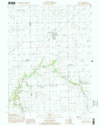
15 topographic sheets cover this place, the earliest surveyed in 1946 and the latest in 1998. It stands in Embarrass Township. It lies in ZIP code area 61943. The Survey maps it on the Brocton quadrangle. It stands 669 feet above sea level.
Topographic sheets covering this place
9 surveys from 15 printed sheetsMatched by testing this settlement's coordinate against the published boundary of every sheet in the United States Geological Survey's historical collection. Each opens the scanned sheet at the Survey.
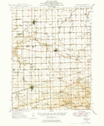
- 1946 USGS Kansas quadrangle1:62500
- 1949 USGS Kansas quadrangle1:62500, 2 printings
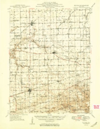
- 1953 USGS Indianapolis quadrangle1:250000, 4 printings
- 1956 USGS Indianapolis quadrangle1:250000
- 1957 USGS Indianapolis quadrangle1:250000, 2 printings
- 1962 USGS Indianapolis quadrangle1:250000
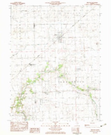
- 1982 USGS Brocton quadrangle1:24000
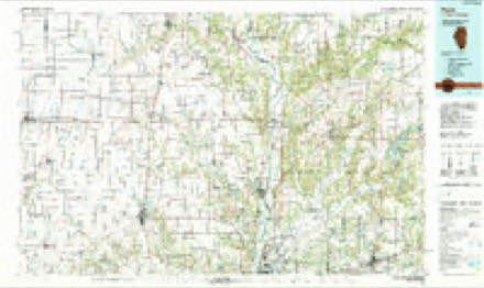
- 1986 USGS Paris quadrangle1:100000, 2 printings
- 1998 USGS Brocton quadrangle1:24000




In the county-history sources
8,140 words on this townshipThe History of Edgar County, Illinois, Containing a History of the County--its Cities, Towns, &c. : Directory of Its Tax-payers; War Records of Its Volunteers in the Late Rebellion Portraits of Early Settlers and Prominent Men; General and Local Statistics; Map of Edgar County; History of Illinois, Illustrated; History of the Northwest, Illustrated; Constitution of the United States, Miscellaneous Matters, &c., &c. Illustrated, published 1879 names this settlement in its chapter on Embarrass Township. These are the passages that mention it, exactly as the scans read.
The land on which the town of Isabel now stands was formerly owned by John Stokes, who subsequently sold to James M. Sherman. In 1868, John Corzine came from Ohio, bought the land and moved to the farm the next year. The railroad was not then thought of, and the only public attraction peculiar to this locality was the little village of New Athens adjacent.
But few ladies are honored in the manner that Mrs. Corzine has been. Queen Victoria, and a few other notables, have namesakes in the shape of towns and cities, but at this moment we cannot recollect, out of the fifteen hundred towns and cities in the State of Illinois, more than five or six named after women. Isabel Corzine's name, therefore, is bound to go down through the ages to come as worthy of having a town named in her honor.
Dr. J. G. Mulvane came from Ohio and settled here in 1872, and began the practice of medicine. He also built a dwelling and storehouse and put in a stock of drugs. There were, at the time of the founding of the town, twTo stores, a blacksmith-shop and a dozen other houses in New Athens ; most of these have since been moved to Isabel. Prior to 1877, school was kept in a part of a dwelling-house ; but during the year mentioned, a neat frame build¬ ing for school purposes was erected at a cost of about $500. James Browning is in charge of the school at present. The population of the village has increased to about one hundred, at this writing., Isabel is nicely located in the western part of the township.
Machine-read from a century-old scan, so expect the errors a machine makes: misspelled names, dropped words, stray characters.
Read the whole chapter on Embarrass Township - it names this place 30 more 30 times.
Storms near this place
3 since 2010Regional context, not property-specific evidence. The National Weather Service names Isabel in 3 storm reports between 2010 and 2014: 3 flash flood. No death or injury is recorded in these reports. Each account below is quoted exactly as the forecast office filed it, from the NOAA Storm Events Database, and each date opens the federal record of that event.
| When | Event | Place named | Harm | What the report says |
|---|---|---|---|---|
| June 2014 | Flash Flood | Isabel | - | Heavy rain accumulation of 2.00 to 3.00 in one hour resulted in flash flooding of mainly rural areas in extreme western Edgar County. Numerous rural roads were impassable and standing water was reported around the intersection of Illinois Routes 33 and 49. The flooding subsided rapidly before daybreak. |
| June 2011 | Flash Flood | Isabel | - | Thunderstorms with heavy rainfall produced 2.50 to 3.50 of rain in southern Edgar County during the pre-dawn hours of June 27th. Several rural roads were flooded and impassable as a result of the rainfall accumulations. Streets were also flooded in Paris, and standing water was reported along parts of U.S. Highway 150 and Illinois Routes 1, 16, 49 and 133 in southern Edgar County. |
| July 2010 | Flash Flood | Isabel | - | Thunderstorms with heavy rainfall rates of 1.50 per hour for at least two hours produced flash flooding in much of west central Edgar County. Many rural roads had six inches or more of flowing water during the early evening hours. |
Nearest settlements
The eight closest, with where each one stands in the county. Distances are straight-line, computed from the Geographic Names Information System coordinates.
| Map | Place | Distance | Sheets |
|---|---|---|---|
| New Athens (historical) | 0.6 miles | 15 | |
| Borton | 0.9 miles | 15 | |
| Catfish (historical) | 1.6 miles | 15 | |
| Warrington | 3.0 miles | 15 | |
| Brocton | 4.3 miles | 15 | |
| Redmon | 4.7 miles | 15 | |
| Kansas | 7.1 miles | 15 | |
| Dudley | 7.6 miles | 14 |
Elsewhere
Matched on this settlement's Geographic Names Information System number rather than its name, so it cannot be a different place of the same name in another state.
| Wikipedia article on Isabel | An encyclopaedic summary. Its text is share-alike, so it is linked here rather than copied. |
| Wikidata item Q6077534 | The structured record the population and elevation above come from. Public domain (CC0). |
Provenance
This settlement is recorded in the Geographic Names Information System as feature 410945. The sheet list is computed by point-in-boundary test against the United States Geological Survey's historical topographic inventory. Both are works of the United States government and carry no copyright under 17 U.S.C. 105.
Storms. NOAA National Centers for Environmental Information, Storm Events Database https://www.ncei.noaa.gov/stormevents/ A work of the United States government, no copyright under 17 U.S.C. 105. Narratives are quoted verbatim from the National Weather Service report and are not edited or summarised.