 Block
Borton, Illinois
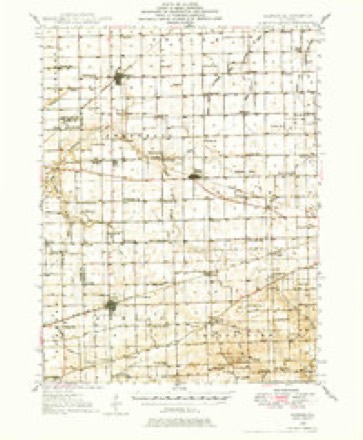
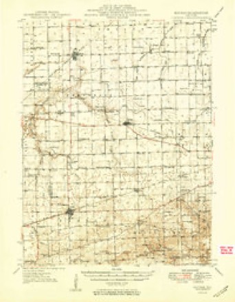
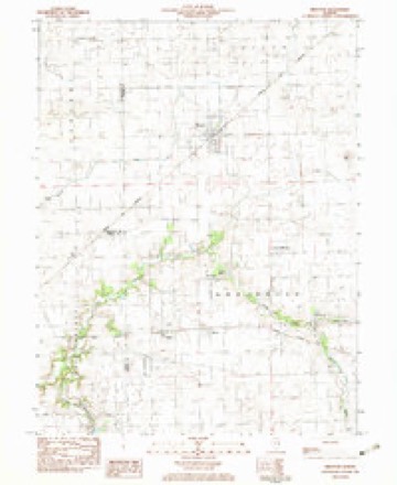
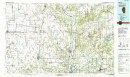
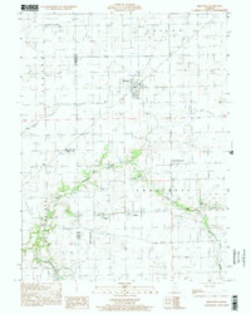
15 topographic sheets cover this place, the earliest surveyed in 1946 and the latest in 1998. It stands in Embarrass Township. It lies in ZIP code area 61917. The Survey maps it on the Brocton quadrangle. It stands 666 feet above sea level.
Topographic sheets covering this place
9 surveys from 15 printed sheetsMatched by testing this settlement's coordinate against the published boundary of every sheet in the United States Geological Survey's historical collection. Each opens the scanned sheet at the Survey.
- 1946 USGS Kansas quadrangle1:62500
- 1949 USGS Kansas quadrangle1:62500, 2 printings
- 1953 USGS Indianapolis quadrangle1:250000, 4 printings
- 1956 USGS Indianapolis quadrangle1:250000
- 1957 USGS Indianapolis quadrangle1:250000, 2 printings
- 1962 USGS Indianapolis quadrangle1:250000
- 1982 USGS Brocton quadrangle1:24000
- 1986 USGS Paris quadrangle1:100000, 2 printings
- 1998 USGS Brocton quadrangle1:24000




In the county-history sources
8,140 words on this townshipThe History of Edgar County, Illinois, Containing a History of the County--its Cities, Towns, &c. : Directory of Its Tax-payers; War Records of Its Volunteers in the Late Rebellion Portraits of Early Settlers and Prominent Men; General and Local Statistics; Map of Edgar County; History of Illinois, Illustrated; History of the Northwest, Illustrated; Constitution of the United States, Miscellaneous Matters, &c., &c. Illustrated, published 1879 names this settlement in its chapter on Embarrass Township. These are the passages that mention it, exactly as the scans read.
The first township meeting for the election of officers and other business was held April 7, 1857, at which the following persons were elected to the respective offices : Charles Brown, Supervisor ; James B. Downs, Assessor ; Jabel Bandy, Collector; William Hollis, Clerk; William Ousley and William McCord. Justices of the Peace; Joseph and Robert E. Smith, Constables; David Smith, Moses Burnett and Henson Hollis, Road Commissioners, and Alexander Wilson, Overseer of the Poor. The township, at the last date given, was all occupied either by actual settlers or by speculators, but many of the large farms have been divided to accommodate additional settlers ; also two thriving little towns have sprung up within its borders, so that now we find the population of the township more than trebled. The population, as given in the census of 1870, was 1,250; but from the number of votes cast at some of the recent elections, it is safe to put the estimate at not less than 1,600. The highest number of votes cast has been 320. The present township officers are : 1\ . M. Casteel, Supervisor ; Peter Chesrown, Assessor ; T. A. Buckler, Col¬ lector ; George W. Brown, Clerk ; Charles Merkle, Eli Honsel and Thomas Ferguson, Commissioners of Highways ; Charles Merkle and Jesse Borton, Justices of the Peace, and George Kees and Andrew Hambleton, Constables.
EDWARD CARROLL, farmer and stock-raiser; P. O. Isabel; was born in Kings Co., Ireland, A. D. 1837 ; came to the United States in 1858, and to this State, and settled in Edgar Co. in the same year; his farm consists of 140 acres, valued at $5,000. He was married to Miss Catherine Marra, who was born in Kings Co., Ireland; they have had nine children, seven of whom are living -
Machine-read from a century-old scan, so expect the errors a machine makes: misspelled names, dropped words, stray characters.
Read the whole chapter on Embarrass Township - it names this place 1 more 1 time.
Storms near this place
2 since 2002Regional context, not property-specific evidence. The National Weather Service names Borton in 2 storm reports between 2002 and 2011: 1 thunderstorm wind, 1 flash flood. No death or injury is recorded in these reports. Each account below is quoted exactly as the forecast office filed it, from the NOAA Storm Events Database, and each date opens the federal record of that event.
| When | Event | Place named | Harm | What the report says |
|---|---|---|---|---|
| April 2011 | Flash Flood | Borton | - | Several thunderstorms produced heavy rainfall with totals of 2.50 to 4.00 inches in less than four hours in the southern half of Edgar County. Numerous roads in Paris, as well as outlying rural areas were flooded. |
| May 2002 | Thunderstorm Wind | Borton | - | Thunderstorm winds blew over a semi truck near the intersection of Illinois Route 49 and Illinois Route 133. The driver was uninjured. Also, several trees were blown over. |
Nearest settlements
The eight closest, with where each one stands in the county. Distances are straight-line, computed from the Geographic Names Information System coordinates.
| Map | Place | Distance | Sheets |
|---|---|---|---|
| Isabel | 0.9 miles | 15 | |
| New Athens (historical) | 0.9 miles | 15 | |
| Catfish (historical) | 1.1 miles | 15 | |
| Warrington | 3.0 miles | 15 | |
| Redmon | 3.9 miles | 15 | |
| Brocton | 4.1 miles | 15 | |
| Dudley | 7.0 miles | 14 | |
| Kansas | 7.1 miles | 15 |
Elsewhere
Matched on this settlement's Geographic Names Information System number rather than its name, so it cannot be a different place of the same name in another state.
| Wikipedia article on Borton | An encyclopaedic summary. Its text is share-alike, so it is linked here rather than copied. |
| Wikidata item Q4946763 | The structured record the population and elevation above come from. Public domain (CC0). |
Provenance
This settlement is recorded in the Geographic Names Information System as feature 404704. The sheet list is computed by point-in-boundary test against the United States Geological Survey's historical topographic inventory. Both are works of the United States government and carry no copyright under 17 U.S.C. 105.
Storms. NOAA National Centers for Environmental Information, Storm Events Database https://www.ncei.noaa.gov/stormevents/ A work of the United States government, no copyright under 17 U.S.C. 105. Narratives are quoted verbatim from the National Weather Service report and are not edited or summarised.