 Block
Catlin, Illinois
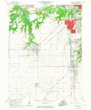
20 topographic sheets cover this place, the earliest surveyed in 1899 and the latest in 1987. It stands in Catlin Township. It lies in ZIP code area 61817. The Survey maps it on the Danville SW quadrangle. 1,983 people lived here at the 2020 count. It stands 659 feet above sea level.
Population over time
2 figuresCatlin fell from 2,040 to 1,983 between 2010 and 2020. These are the recorded population figures Wikidata holds for this place, reached through the Geographic Names Information System number this page is keyed on rather than by name, so they belong to this place and not to another of the same name. Most are census counts, but not all are: an early figure may be a founding or settlement estimate, and an estimate published within five years of a census is left out. The change column is computed, and is left blank where more than 20 years separate a figure from the one before it, because a gap that long is not a change between two counts.
| Year | People | Change |
|---|---|---|
| 2010 | 2,040 | |
| 2020 | 1,983 | -57 (-3%) |
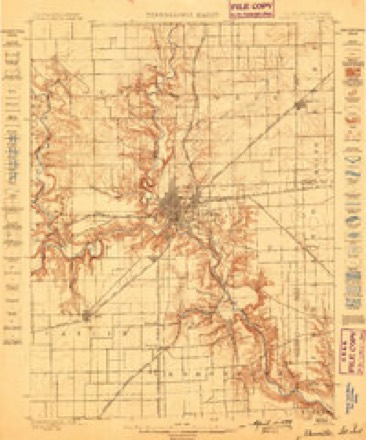
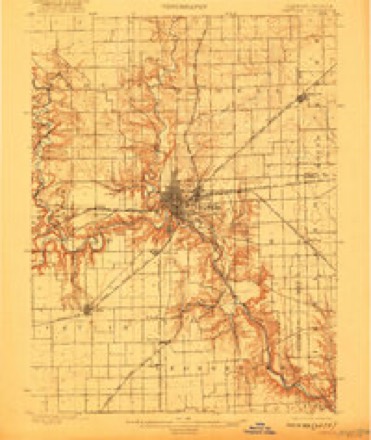
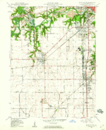
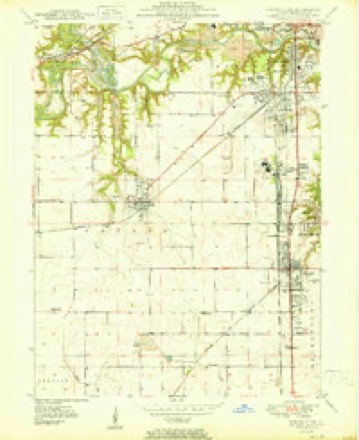
Topographic sheets covering this place
10 surveys from 20 printed sheetsMatched by testing this settlement's coordinate against the published boundary of every sheet in the United States Geological Survey's historical collection. Each opens the scanned sheet at the Survey.
- 1899 USGS Danville quadrangle1:62500
- 1900 USGS Danville quadrangle1:62500, 7 printings
- 1949 USGS Danville SW quadrangle1:24000, 2 printings
- 1950 USGS Danville SW quadrangle1:24000
- 1953 USGS Danville quadrangle1:250000, 3 printings
- 1955 USGS Danville quadrangle1:250000
- 1956 USGS Danville quadrangle1:250000
- 1966 USGS Danville SW quadrangle1:24000, 2 printings
- 1984 USGS Danville quadrangle1:100000
- 1987 USGS Danville quadrangle1:100000





In the county-history sources
21,209 words on this townshipHistory of Vermilion County, Together with Historic Notes on the Northwest, Gleaned from Early Authors, Old Maps and Manuscripts, Private and Official Correspondence, and Other Authentic, Though, for the Most Part, Out-of-the-way Sources, published 1879 names this settlement in its chapter on Catlin Township. These are the passages that mention it, exactly as the scans read.
Catlin occupies the center of the southern half of the county, and is bounded on the north by Oakwood and Danville, on the east by Danville and Georgetown, on the south by Georgetown and Carroll, and on the west by Vance townships, and received its name from the station on the railroad, which was named from one of the officers of the road. It embraces all of the nortli half of town 18, range 12; six sections off the east side of the north half of town 18, range 13 ; all but section 19 of the south half of town 19, range 12; four sections out of the southeast corner of town 19, range 13, and a section and a half lying out by itself north of the salt works, which ought to be anchored somewhere, or it is liable to get lost one of these days ; making in all somewhat more than a full congressional towmship and a quarter. The Salt Fork runs along its northern border, having along its banks a belt of excellent timber, varying from a mile to a mile and a half in width. The " points " made by these elbows of timber extending out into the prairie, chief among which was Butler's Point, were a principal attraction to the early settlers. The old salt works, (which is fully written up in its proper place) drew in the first settlers, which, though not really lying in its present territory, was so close by, that that portion of Catlin township was known first of any locality in the county, and long before Danville was dreamed of. Its first selection by the authorized commission as the proper place for the county seat was not due so much as some suppose to its being the geographical center of the county, for it was not. The county at that time extended to the lake, and its geographical center was not far from the thriving city of Kankakee. While the geographical center of the county, by its present limits, is exactly six miles north of the locality indicated (being on section 21, a little north of the original settlement of Mr. Blount, whose name was given to that township), its selection was made on account of its being central to the population then here, and those whom it was then believed would in future occupy the county. The state road, from Crawfordsville, Indiana, to Decatur, runs through the town, keeping along where the prairie line broke away from the timber, midway between the railroad and the stream. Along this road on either side are situated some of the finest farms in the town, and which have few superiors in the county. These were of course the first to be brought into cultivation, and it was many years after that those on the prairie south of the railroad were settled. The township was laid off from Danville, Vance, Carroll and Georgetown in 1858. This was after the railroad was built, and after the station had been sometime known as Catlin.
Passage source: History of Vermilion County, Together with Historic Notes on the Northwest, Gleaned from Early Authors, Old Maps and Manuscripts, Private and Official Correspondence, and Other Authentic, Though, for the Most Part, Out-of-the-way Sources, published 1879.
Along the southern line of the township is a high elevation of land, which forms the "divide" between the Salt Fork and the Little Vermilion. All the land of the town sheds toward the Salt Fork, except a small portion on the extreme southern edge. As early as 1850 all the portion north of the railroad had been brought into cultivation ; the Sandusky farm had been improved, and the large brick house at the mound south of the village of Catlin had been built. Following the building of the road, all the land along its line was taken up by eastern speculators, and settlers found it to their advantage to go farther south to get cheaper lands. Ity 1858 all this land southwest of the station was taken and made into farms.
Passage source: History of Vermilion County, Together with Historic Notes on the Northwest, Gleaned from Early Authors, Old Maps and Manuscripts, Private and Official Correspondence, and Other Authentic, Though, for the Most Part, Out-of-the-way Sources, published 1879.
The point of timber running out into the prairie west of the present village of Catlin was the place of the first settlement, and is historic. It was called Butler's, from James Butler, who was the first settler, and in the course of time the whole settlement came to be known by that name, and continued to be so called until the railroad officials called the name of their station here Catlin.
Passage source: History of Vermilion County, Together with Historic Notes on the Northwest, Gleaned from Early Authors, Old Maps and Manuscripts, Private and Official Correspondence, and Other Authentic, Though, for the Most Part, Out-of-the-way Sources, published 1879.
Machine-read from a century-old scan, so expect the errors a machine makes: misspelled names, dropped words, stray characters.
Read the whole chapter on Catlin Township - it names this place 68 more 68 times.
Fires near this place
3 since 2003Regional context, not property-specific evidence. The federal wildfire occurrence database lists 3 fires within 5 miles of Catlin between 2003 and 2014, burning about 6 acres in total. None started naturally. None was recorded as arson. Distance is straight-line from the map coordinates, so a fire counted here may appear on a neighbouring settlement's page as well.
| Reported cause | Fires |
|---|---|
| Smoking | 2 |
| Recreation and ceremony | 1 |
The most recent of them, most recent first, with the day each was reported and the service that recorded it.
| Date | Cause | Size | Reported by | Name on the report |
|---|---|---|---|---|
| 23 March 2014 | Smoking | under an acre | Illinois Division of Forestry Resources | JORDAN2 |
| 23 March 2004 | Smoking | under an acre | Illinois State Fire Marshal's Office | not named |
| 23 March 2003 | Recreation and ceremony | 5.0 acres | Illinois State Fire Marshal's Office | not named |
Settlements close enough to share some of these fires:
Mines and quarries near this place
1 within 5 milesRegional context, not property-specific evidence. The federal mineral resources record lists 1 working within 5 miles of Catlin: 1 occurrence. None of them still produces. What was taken out: Fire Clay (Refractory). Distance is straight-line from the map coordinates, so a quarry counted here may appear on a neighbouring settlement's page as well.
| Where | Site | Commodity | Status | Recorded |
|---|---|---|---|---|
| Western Brick Co. Shale Exposure | Fire Clay (Refractory) | Occurrence |
Storms near this place
22 since 1996Regional context, not property-specific evidence. The National Weather Service names Catlin in 22 storm reports between 1996 and 2025: 13 thunderstorm wind, 5 hail, 2 tornado, 2 flash flood. No death or injury is recorded in these reports. Each account below is quoted exactly as the forecast office filed it, from the NOAA Storm Events Database, and each date opens the federal record of that event.
| When | Event | Place named | Harm | What the report says |
|---|---|---|---|---|
| August 2019 | Thunderstorm Wind | Catlin | $25,000 | Several trees and power lines were blown down in Catlin. A metal sign at a gas station was blown down and minor roof damage occurred to a house as well. |
| November 2016 | Thunderstorm Wind | Catlin | $25,000 | Numerous power lines were blown down in Catlin. |
| July 2008 | Thunderstorm Wind | Catlin | $22,000 | Numerous 2 to 3 foot diameter trees were blown down in Catlin. |
| June 2015 | Thunderstorm Wind | Catlin | $20,000 | Power lines were blown down on Catlin-Homer Road about 4 miles west of Catlin. |
| June 2008 | Thunderstorm Wind | Catlin | $15,000 | Several power poles were blown over to a 60 degree angle. |
| July 2017 | Thunderstorm Wind | Catlin | $12,000 | A tree was blown onto a car on the 600 block of South Paris Street. |
| August 2009 | Thunderstorm Wind | Catlin | $10,000 | Several trees were blown down across a road 3 miles north of Catlin. |
| July 2013 | Thunderstorm Wind | Catlin | $8,000 | Power lines were blown down in Catlin. |
| July 2015 | Thunderstorm Wind | Catlin | $3,000 | A tree and power lines were blown down on Douglas Street in Catlin. |
| December 2025 | Thunderstorm Wind | Catlin | - | Multiple trees were blown down, two power poles were snapped, and several homes had a few shingles stripped from their roofs. |
| August 2022 | Thunderstorm Wind | Catlin | - | Several trees were blown down. |
| September 2016 | Tornado (EF0) | Catlin | - | A tornado briefly touched down in a field 2 miles southwest of Catlin at 7:13pm CDT before quickly dissipating by 7:14pm CDT. Minor crop damage was reported. |
| May 2010 | Flash Flood | Catlin | - | Training thunderstorm cells produced an area of flash flooding in southwest Vermilion County. Rainfall rates of nearly 2.00 inches per hour were reported. Many rural roads were inundated because of the flooding, particularly near Indianola. |
| September 2005 | Thunderstorm Wind | Catlin | - | Tree limbs and power lines blown down. |
| May 2000 | Thunderstorm Wind | Catlin | - | Thunderstorm winds blew down numerous power lines. Also, in Westville a tree was blown over onto a house causing minor damage. No injuries were reported. |
| June 1998 | Flash Flood | Catlin | - | A series of thunderstorms moved through the southern portions of Vermilion County. Up to two inches fell in an hour in this area. Numerous roads were flooded and some water was reported in basements. Some of the towns affected by the flooding were Catlin, Hawbuck, Hillery, Tilton, and Georgetown. Flooding slowly subsided by the early morning hours on the 15th of June. No damage estimate was available. |
| May 2019 | Hail | Catlin | - | no account filed |
| September 2015 | Hail | Catlin | - | no account filed |
| April 2007 | Hail | Catlin | - | no account filed |
| May 2000 | Hail | Catlin | - | no account filed |
| May 2000 | Hail | Catlin | - | no account filed |
| April 1996 | Tornado (F0) | Catlin | - | no account filed |
Nearest settlements
The eight closest, with where each one stands in the county. Distances are straight-line, computed from the Geographic Names Information System coordinates.
| Map | Place | Distance | Sheets |
|---|---|---|---|
| Kellyville | 3.4 miles | 20 | |
| Belgium | 3.4 miles | 20 | |
| Tilton | 3.6 miles | 20 | |
| Hegeler | 3.6 miles | 20 | |
| Westville | 3.7 miles | 20 | |
| Vandercook | 3.8 miles | 20 | |
| Batestown | 3.8 miles | 20 | |
| Missionfield | 3.9 miles | 16 |
Elsewhere
Matched on this settlement's Geographic Names Information System number rather than its name, so it cannot be a different place of the same name in another state.
| Wikipedia article on Catlin | An encyclopaedic summary. Its text is share-alike, so it is linked here rather than copied. |
| Wikidata item Q2668488 | The structured record the population and elevation above come from. Public domain (CC0). |
Provenance
This settlement is recorded in the Geographic Names Information System as feature 405705. The sheet list is computed by point-in-boundary test against the United States Geological Survey's historical topographic inventory. Both are works of the United States government and carry no copyright under 17 U.S.C. 105.
Wildfire. Short, Karen C. 2022. Spatial wildfire occurrence data for the United States, 1992-2020 [FPA_FOD_20221014]. 6th Edition. Fort Collins, CO: Forest Service Research Data Archive. https://doi.org/10.2737/RDS-2013-0009.6 Collected with United States Government funding and usable without additional permissions or fees.
Mines and quarries. USGS Mineral Resources Data System (MRDS) https://mrdata.usgs.gov/mrds/ A work of the United States government, no copyright under 17 U.S.C. 105.
Storms. NOAA National Centers for Environmental Information, Storm Events Database https://www.ncei.noaa.gov/stormevents/ A work of the United States government, no copyright under 17 U.S.C. 105. Narratives are quoted verbatim from the National Weather Service report and are not edited or summarised.