 Block
Clarence, Illinois
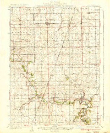
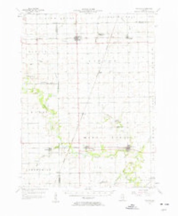
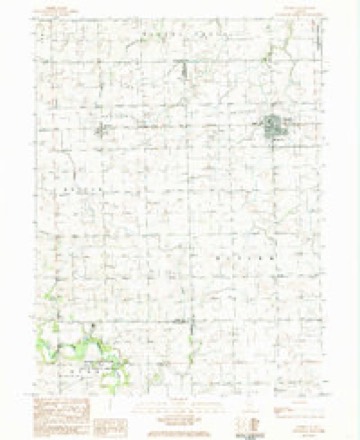
13 topographic sheets cover this place, the earliest surveyed in 1936 and the latest in 1987. It stands in Button Township. It lies in ZIP code area 60960. The Survey maps it on the Rankin quadrangle.
Topographic sheets covering this place
8 surveys from 13 printed sheetsMatched by testing this settlement's coordinate against the published boundary of every sheet in the United States Geological Survey's historical collection. Each opens the scanned sheet at the Survey.
- 1936 USGS Potomac quadrangle1:62500, 3 printings
- 1953 USGS Danville quadrangle1:250000, 3 printings
- 1955 USGS Danville quadrangle1:250000
- 1956 USGS Danville quadrangle1:250000
- 1957 USGS Potomac quadrangle1:62500, 2 printings
- 1984 USGS Danville quadrangle1:100000
- 1984 USGS Rankin quadrangle1:24000
- 1987 USGS Danville quadrangle1:100000





In the county-history sources
30,265 words on this townshipHistorical Atlas of Ford County Illinois, published 1884 names this settlement in its chapter on Button Township. These are the passages that mention it, exactly as the scans read.
We have no church building, owing to the members going from here to the Western States every year. We are using the old sohoolhouse building, in connection with the Methodist Epis¬ copal Church, as our place of worship.
Passage source: Historical Atlas of Ford County Illinois, published 1884.
The first data was composed of the following members: H. Duringer and wife, Ties Arends and wife, George O. Arends and wife, A. Heilman and wife, and Gerhard Denies and wife. Meetings were first held at farmhouses, then in schoolhouses. After tne village of Melvin was started, they moved into town. In 1875, they bought the old schoolhouse which stood a half mile south of town, moved it up into town, fitted it up, and used it for church until 1881, when they built a new church at a cost of $1,850. It was dedicated November 20 by Peter Hinners, of Chicago.
Passage source: Historical Atlas of Ford County Illinois, published 1884.
From the time of organization till July 5, 1875, Rev. Simon Suij was minister of the congregation. From the latter date until April 7, 1878, Rev. H. Ilebler was the minister, and since that time Rev. H. Stachling has been the minister.
Passage source: Historical Atlas of Ford County Illinois, published 1884.
Machine-read from a century-old scan, so expect the errors a machine makes: misspelled names, dropped words, stray characters.
Read the whole chapter on Button Township - it names this place 5 more 5 times.
Mines and quarries near this place
2 within 5 milesRegional context, not property-specific evidence. The federal mineral resources record lists 2 workings within 5 miles of Clarence: 2 producers. All of them still produce. What was taken out: Sand and Gravel, Construction. Distance is straight-line from the map coordinates, so a quarry counted here may appear on a neighbouring settlement's page as well.
| Where | Site | Commodity | Status | Recorded |
|---|---|---|---|---|
| Corbly Pit | Sand and Gravel, Construction | Producer | ||
| Paxton Pit Younggreen Pit | Sand and Gravel, Construction | Producer |
Storms near this place
3 since 2023Regional context, not property-specific evidence. The National Weather Service names Clarence in 3 storm reports between 2023 and 2025: 1 tornado, 1 thunderstorm wind, 1 hail. No death or injury is recorded in these reports. Each account below is quoted exactly as the forecast office filed it, from the NOAA Storm Events Database, and each date opens the federal record of that event.
| When | Event | Place named | Harm | What the report says |
|---|---|---|---|---|
| May 2025 | Thunderstorm Wind | Clarence | - | Wind gusts were estimated to 60 mph. |
| February 2023 | Tornado (EFU) | Clarence | - | Eyewitness accounts as well as photos and videos relayed to the National Weather Service indicate that a tornado touched down roughly two miles southwest of Clarence and tracked northeast for one to two miles before lifting. The tornado did not cause any known damage, and thus has been assigned the EF-U (unknown) rating. |
| May 2025 | Hail | Clarence | - | no account filed |
Nearest settlements
The eight closest, with where each one stands in the county. Distances are straight-line, computed from the Geographic Names Information System coordinates.
| Map | Place | Distance | Sheets |
|---|---|---|---|
| Paxton | 6.6 miles | 16 | |
| Perdueville | 11.0 miles | 16 | |
| Roberts | 15.2 miles | 13 | |
| Elliott | 16.0 miles | 14 | |
| Melvin | 16.3 miles | 13 | |
| Guthrie | 19.0 miles | 14 | |
| Gibson City | 21.9 miles | 14 | |
| Garber | 22.1 miles | 14 |
Provenance
This settlement is recorded in the Geographic Names Information System as feature 406143. The sheet list is computed by point-in-boundary test against the United States Geological Survey's historical topographic inventory. Both are works of the United States government and carry no copyright under 17 U.S.C. 105.
Mines and quarries. USGS Mineral Resources Data System (MRDS) https://mrdata.usgs.gov/mrds/ A work of the United States government, no copyright under 17 U.S.C. 105.
Storms. NOAA National Centers for Environmental Information, Storm Events Database https://www.ncei.noaa.gov/stormevents/ A work of the United States government, no copyright under 17 U.S.C. 105. Narratives are quoted verbatim from the National Weather Service report and are not edited or summarised.