 Block
Cordova, Illinois
21 topographic sheets cover this place, the earliest surveyed in 1892 and the latest in 1991. It stands in Cordova Township. It lies in ZIP code area 61242. The Survey maps it on the Cordova quadrangle. 671 people lived here at the 2020 count.
Population over time
2 figuresCordova fell from 672 to 671 between 2010 and 2020. These are the recorded population figures Wikidata holds for this place, reached through the Geographic Names Information System number this page is keyed on rather than by name, so they belong to this place and not to another of the same name. Most are census counts, but not all are: an early figure may be a founding or settlement estimate, and an estimate published within five years of a census is left out. The change column is computed, and is left blank where more than 20 years separate a figure from the one before it, because a gap that long is not a change between two counts.
| Year | People | Change |
|---|---|---|
| 2010 | 672 | |
| 2020 | 671 | -1 (-0%) |
Topographic sheets covering this place
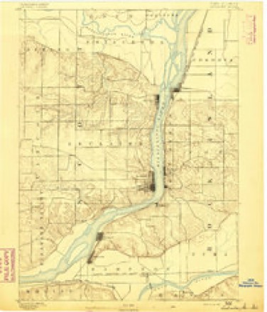
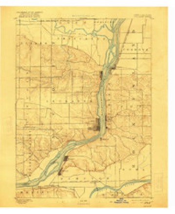
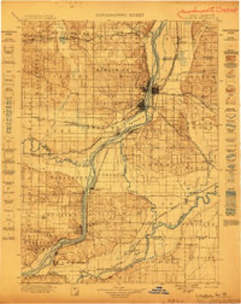
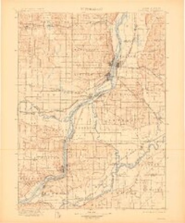
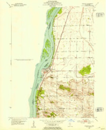
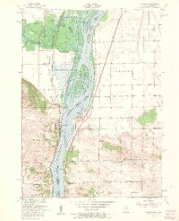
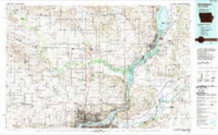
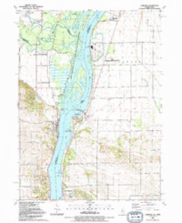
11 surveys from 21 printed sheetsMatched by testing this settlement's coordinate against the published boundary of every sheet in the United States Geological Survey's historical collection. Each opens the scanned sheet at the Survey.
- 1892 USGS Leclaire quadrangle1:62500
- 1893 USGS Leclaire quadrangle1:62500, 4 printings
- 1899 USGS Clinton quadrangle1:125000
- 1899 USGS Cordova quadrangle1:125000, 4 printings
- 1952 USGS Cordova quadrangle1:24000
- 1953 USGS Cordova quadrangle1:24000, 3 printings
- 1958 USGS Davenport quadrangle1:250000, 2 printings
- 1961 USGS Davenport quadrangle1:250000
- 1962 USGS Davenport quadrangle1:250000
- 1984 USGS Davenport quadrangle1:100000, 2 printings
- 1991 USGS Cordova quadrangle1:24000



In the county-history sources
465 words on this townshipHistoric Rock Island County; History of the Settlement of Rock Island County from the Earliest Known Period to the Present Time ... Embracing References of Importance, and Including a Biography of Rock Island County's Well-known Citizens, published 1908 names this settlement in its chapter on Cordova Township. These are the passages that mention it, exactly as the scans read.
The first school house was built in 1863, and conducted under the common school laws of the state. Since Februar}' 16, 1865, a board of education, composed of six members, control school affairs. The especial pride to which the residents direct attention is their fine graded school which numbers upward of 300 scholars, under the supervision of an efficient principal and corps of teachers. The school also has a well equi]iped circulating library. The principal product of the locality is corn, of which large shipments are made. The first postoffice was established in 1839, John Marshall being its first postmaster, who also kept the first hotel. In 1853 the first grist mill was erected by Brigham and Marshall. A petition for village organization was filed March 16, 1867. An election was held and went against organization. In 1877 the subject was again submitted to the voters and affirmed in favor of village organization, and on the 23d day of April, 1877, the village was dulj- organized. Cordova is situated on the Mississippi River, and Chicago, Milwaukee & St. Paul Railwav.
Passage source: Historic Rock Island County; History of the Settlement of Rock Island County from the Earliest Known Period to the Present Time ... Embracing References of Importance, and Including a Biography of Rock Island County's Well-known Citizens, published 1908.
Coe. surrounded by the townsliips of Canoe Creek, Port Byron, Zuma and Cordova, is considered one of the best agricultural jwrtions of the county. John Walker was the first settler in 1835, followed shortly by John Butcher; his brother, Burrall Butcher, coming in 1836, and in 1851 locating on his brother's section, his brother having left for California, but died on his way there. Samuel Allen came in 1837, moving from what was afterwards the village of Port Byron. Samuel Ennison came shortly after from Indiana. Henry Smith, Henry M. Stockton and Isaac Hollister also coming in 1837. Mrs. Charity Marshall, a widow with nine children, came in 1S38 from New Jersey. The first to wed in the township were Hiram Walker and Mary Ennis, and David Allen and Miss Remson.
Passage source: Historic Rock Island County; History of the Settlement of Rock Island County from the Earliest Known Period to the Present Time ... Embracing References of Importance, and Including a Biography of Rock Island County's Well-known Citizens, published 1908.
Machine-read from a century-old scan, so expect the errors a machine makes: misspelled names, dropped words, stray characters.
Fires near this place
6 since 2008Regional context, not property-specific evidence. The federal wildfire occurrence database lists 6 fires within 5 miles of Cordova between 2008 and 2018, burning about 6 acres in total. None started naturally. None was recorded as arson. Distance is straight-line from the map coordinates, so a fire counted here may appear on a neighbouring settlement's page as well.
| Reported cause | Fires |
|---|---|
| Missing data/not specified/undetermined | 3 |
| Debris and open burning | 2 |
| Equipment and vehicle use | 1 |
The most recent of them, most recent first, with the day each was reported and the service that recorded it.
| Date | Cause | Size | Reported by | Name on the report |
|---|---|---|---|---|
| 8 July 2017 | Missing data/not specified/undetermined | 2.0 acres | Illinois Division of Forestry Resources | 17-117 |
| 1 May 2008 | Equipment and vehicle use | under an acre | Illinois Division of Forestry Resources | WHITETAIL DRIVE |
| 13 April 2009 | Missing data/not specified/undetermined | 1.0 acres | Iowa Department of Natural Resources | not named |
| 18 February 2017 | Debris and open burning | 1.0 acres | Illinois Division of Forestry Resources | 17-028 |
| 15 October 2017 | Missing data/not specified/undetermined | 1.0 acres | Illinois Division of Forestry Resources | 17-167 |
| 25 January 2018 | Debris and open burning | under an acre | Illinois Division of Forestry Resources | 18-022 |
Settlements close enough to share some of these fires:
Mines and quarries near this place
3 within 5 milesRegional context, not property-specific evidence. The federal mineral resources record lists 3 workings within 5 miles of Cordova: 3 past producers. None of them still produces. What was taken out: Stone, Crushed/Broken. Distance is straight-line from the map coordinates, so a quarry counted here may appear on a neighbouring settlement's page as well.
| Where | Site | Commodity | Status | Recorded |
|---|---|---|---|---|
| Cordova Quarry Butler Co. | Stone, Crushed/Broken | Past Producer | ||
| Cordova Quarrycollision Stone Co. | Stone, Crushed/Broken | Past Producer | ||
| Princeton Quarry | Stone, Crushed/Broken | Past Producer |
Storms near this place
16 since 1996Regional context, not property-specific evidence. The National Weather Service names Cordova in 16 storm reports between 1996 and 2025: 6 thunderstorm wind, 3 hail, 2 flood, 2 tornado. No death or injury is recorded in these reports. Each account below is quoted exactly as the forecast office filed it, from the NOAA Storm Events Database, and each date opens the federal record of that event.
| When | Event | Place named | Harm | What the report says |
|---|---|---|---|---|
| September 2005 | Thunderstorm Wind | Cordova | $2,000 | 4 to 5 inch diameter limbs down |
| April 2025 | Tornado (EF0) | Cordova | $1,000 | An EF-0 tornado with maximum winds of 85 mph and a maximum width of 50 yards resulted in several trees being snapped and uprooted throughout the Cordova Cemetery, with many large branches snapped as well. As the tornado continued north, more damage to large tree branches was noted, along with an outdoor swing set and large farm irrigator damaged. |
| July 2022 | Funnel Cloud | Cordova | - | A member of the public reported a funnel cloud near the Exelon Generation Station. |
| June 2019 | Thunderstorm Wind | Cordova | - | A tree was reported blown down over railroad tracks. |
| May 2019 | Flood | Cordova | - | The Mississippi River at Le Claire (LECI4) began the month above its major flood stage of 13.5 feet and reached a crest level of 16.51 feet at 1030 AM May 2nd. The river fell below major flood stage in the morning on May 9th. |
| June 2018 | Thunderstorm Wind | Cordova | - | Several trees snapped off on the Illinois shore line of the Mississippi River directly east of Camanche, Iowa. The time was estimated by radar. |
| October 2016 | Tornado (EF1) | Cordova | - | An EF1 tornado began in southwestern Davenport in the downtown area, tracking northeast. Damage began on Credit Island, and extended through downtown Davenport, the Village of East Davenport, Bettendorf, and into rural northeast Scott County. The tornado crossed the Mississippi River south of Princeton, Iowa and continued into Illinois, hitting Cordova, Illinois before lifting. Along the path, damage was primarily to trees and outbuildings. Some trees fell on homes and cars. In downtown Davenport, the roof of the jail and the roof of a homeless shelter were also damaged. Peak winds were estimated to be 100 mph. The widest portion of the path occurred in eastern Davenport/Village of East Davenport. |
| June 2016 | Funnel Cloud | Cordova | - | Law enforcement reported a funnel cloud. |
| May 2012 | Hail | Cordova | - | This report was relayed by the media, and the time of the event was estimated using radar. |
| April 2010 | Hail | Cordova | - | Golf ball sized hail fell in Cordova, IL at 613 pm April 4. |
| July 2010 | Thunderstorm Wind | Cordova | - | Wind gusts estimated to be 60 mph were observed in Cordova, IL at 302 pm CDT July 7. |
| June 2009 | Thunderstorm Wind | Cordova | - | Wind gusts estimated to be 65 mph blew down some 5 to 6 inch diameter tree branches in Cordova, IL around 552 pm June 19. |
| May 2006 | Hail | Cordova | - | nickel size hail |
| August 2011 | Heavy Rain | Cordova | - | no account filed |
| June 2008 | Flood | Cordova | - | no account filed |
| May 1996 | Thunderstorm Wind | Cordova | - | no account filed |
Nearest settlements
The eight closest, with where each one stands in the county. Distances are straight-line, computed from the Geographic Names Information System coordinates.
| Map | Place | Distance | Sheets |
|---|---|---|---|
| Port Byron | 5.2 miles | 23 | |
| Rapids City | 6.9 miles | 23 | |
| Cedar Brook | 9.0 miles | 23 | |
| Hillsdale | 9.0 miles | 14 | |
| Hampton | 9.8 miles | 21 | |
| Joslin | 9.9 miles | 14 | |
| Osborn | 11.2 miles | 23 | |
| Babcock | 11.2 miles | 21 |
Elsewhere
Matched on this settlement's Geographic Names Information System number rather than its name, so it cannot be a different place of the same name in another state.
| Wikipedia article on Cordova | An encyclopaedic summary. Its text is share-alike, so it is linked here rather than copied. |
| Wikidata item Q531442 | The structured record the population and elevation above come from. Public domain (CC0). |
Provenance
This settlement is recorded in the Geographic Names Information System as feature 406583. The sheet list is computed by point-in-boundary test against the United States Geological Survey's historical topographic inventory. Both are works of the United States government and carry no copyright under 17 U.S.C. 105.
Wildfire. Short, Karen C. 2022. Spatial wildfire occurrence data for the United States, 1992-2020 [FPA_FOD_20221014]. 6th Edition. Fort Collins, CO: Forest Service Research Data Archive. https://doi.org/10.2737/RDS-2013-0009.6 Collected with United States Government funding and usable without additional permissions or fees.
Mines and quarries. USGS Mineral Resources Data System (MRDS) https://mrdata.usgs.gov/mrds/ A work of the United States government, no copyright under 17 U.S.C. 105.
Storms. NOAA National Centers for Environmental Information, Storm Events Database https://www.ncei.noaa.gov/stormevents/ A work of the United States government, no copyright under 17 U.S.C. 105. Narratives are quoted verbatim from the National Weather Service report and are not edited or summarised.