 Block
Dakota, Illinois
13 topographic sheets cover this place, the earliest surveyed in 1939 and the latest in 1981. It stands in Dakota Township. It lies in ZIP code area 61018. The Survey maps it on the Dakota quadrangle. 500 people lived here at the 2020 count. It stands 945 feet above sea level.
Population over time
3 figuresDakota grew from 499 to 500 between 2000 and 2020. These are the recorded population figures Wikidata holds for this place, reached through the Geographic Names Information System number this page is keyed on rather than by name, so they belong to this place and not to another of the same name. Most are census counts, but not all are: an early figure may be a founding or settlement estimate, and an estimate published within five years of a census is left out. The change column is computed, and is left blank where more than 20 years separate a figure from the one before it, because a gap that long is not a change between two counts.
| Year | People | Change |
|---|---|---|
| 2000 | 499 | |
| 2010 | 506 | +7 (+1%) |
| 2020 | 500 | -6 (-1%) |
Topographic sheets covering this place
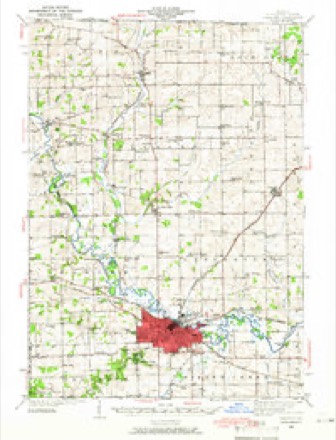
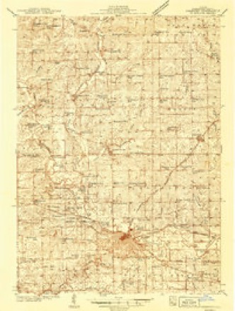
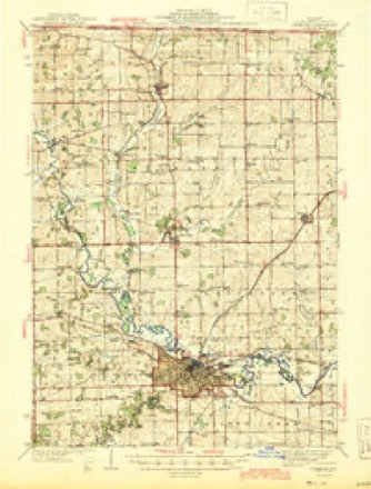
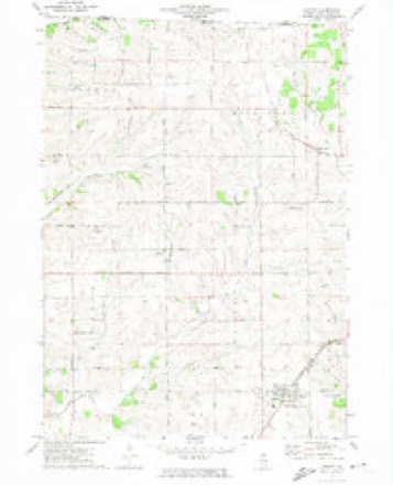
9 surveys from 13 printed sheetsMatched by testing this settlement's coordinate against the published boundary of every sheet in the United States Geological Survey's historical collection. Each opens the scanned sheet at the Survey.
- 1939 USGS Freeport quadrangle1:62500
- 1939 USGS Freeport quadrangle1:48000
- 1944 USGS Freeport quadrangle1:62500
- 1954 USGS Rockford quadrangle1:250000
- 1955 USGS Rockford quadrangle1:250000
- 1958 USGS Rockford quadrangle1:250000, 4 printings
- 1963 USGS Rockford quadrangle1:250000
- 1971 USGS Dakota quadrangle1:24000
- 1981 USGS Rockford quadrangle1:100000, 2 printings





In the county-history sources
14,177 words on this townshipThe History of Stephenson County, Illinois : Containing ... Biographical Sketches ... War Record ... Statistics ... Portraits of Early Settlers ... History of the Northwest, History of Illinois, &c. .., published 1880 names this settlement in its chapter on Dakota Township. These are the passages that mention it, exactly as the scans read.
The territory comprising the present township of Dakota consists of 11,378 acres, originally contained in Buckeye Township. When the latter was set apart in 1850, the polling place for voters residing in the southeastern portion of Buckeye was located at the Red Schoolhouse, near the present town of Buena Vista. The distance thereto was a source of infinite inconvenience and vexation of spirit to those deeming it an inestimable privilege to exercise the privileges of the elective franchise, and for many years was bridged with complainings and irregularity by the American citizens who subsequently became pioneer settlers in Dakota. These complainings and vexations of spirit, born of the inconvenience cited, finally culminated in efforts to create a new township, which were crowned with success through the labors of Silas Yount, R. Baird, B. Dornblazer and others, during the month of September, 1860.
Passage source: The History of Stephenson County, Illinois : Containing ... Biographical Sketches ... War Record ... Statistics ... Portraits of Early Settlers ... History of the Northwest, History of Illinois, &c. .., published 1880.
Settlements had been made in that portion of Buckeye Township as early as 1836, many of which have already been mentioned in this work, and need not be recapitulated. There were some, however, who, during that and subsequent years, their names having been reserved for that purpose, are herein quoted. They include, among others, the family of Benson McElheney, who settled near Hickory Grrove ; Henry Bordner, Jacob Bordner, John Brown, Robin Mcgee, James McKee, Samuel Templeton, John Price, Peter Fair, Daniel Zimmerman, Robert Pierce et al., a portion of whom settled on Cedar Creek, the remainder distributing themselves through various portions of the original township.
Passage source: The History of Stephenson County, Illinois : Containing ... Biographical Sketches ... War Record ... Statistics ... Portraits of Early Settlers ... History of the Northwest, History of Illinois, &c. .., published 1880.
Dakota is deservedly regarded as one of the finest farming sections in the county. Though of limited dimensions, nearly every foot of soil, which in point of quality is unsurpassed, is under cultivation. That the natural facilities for acquiring wealth through the farm are more than generous, is to be found in the fact that the husbandmen residents therein are, as a rule, in independent circumstances. The amount of timber is limited to one grove of measured dimensions, the balance of the township being rolling prairie. Cedar Creek courses the township from north to south, and the Milwaukee & St. Paul Railway from east to west, affording water-power and means of communication possessed by few townships in the county, and sources of profit to the inhabitants. Dakota, though one of the smallest of Stephenson County's seventeen townships, is also one of the more prosperous and attractive, commending its resources and producing results to the cultivator and shipper as substantial as they are comparatively unlimited, and certainly remunerative.
Passage source: The History of Stephenson County, Illinois : Containing ... Biographical Sketches ... War Record ... Statistics ... Portraits of Early Settlers ... History of the Northwest, History of Illinois, &c. .., published 1880.
Machine-read from a century-old scan, so expect the errors a machine makes: misspelled names, dropped words, stray characters.
Read the whole chapter on Dakota Township - it names this place 52 more 52 times.
Fires near this place
2 since 2010Regional context, not property-specific evidence. The federal wildfire occurrence database lists 2 fires within 5 miles of Dakota in 2010, burning under an acre in total. None started naturally. None was recorded as arson. Distance is straight-line from the map coordinates, so a fire counted here may appear on a neighbouring settlement's page as well.
| Reported cause | Fires |
|---|---|
| Missing data/not specified/undetermined | 2 |
The most recent of them, most recent first, with the day each was reported and the service that recorded it.
| Date | Cause | Size | Reported by | Name on the report |
|---|---|---|---|---|
| 4 May 2010 | Missing data/not specified/undetermined | under an acre | Illinois Division of Forestry Resources | 1035 |
| 8 November 2010 | Missing data/not specified/undetermined | under an acre | Illinois Division of Forestry Resources | 10100 |
Settlements close enough to share some of these fires:
Mines and quarries near this place
10 of 17 shownRegional context, not property-specific evidence. The federal mineral resources record lists 17 workings within 5 miles of Dakota: 17 past producers. None of them still produces. What was taken out: Stone, Crushed/Broken, Limestone, General. Distance is straight-line from the map coordinates, so a quarry counted here may appear on a neighbouring settlement's page as well.
| Where | Site | Commodity | Status | Recorded |
|---|---|---|---|---|
| Dornink Quarry | Limestone, General | Past Producer | ||
| D. Zettle Property | Stone, Crushed/Broken | Past Producer | ||
| Duth Quarry | Stone, Crushed/Broken | Past Producer | ||
| Faulkner Rock Quarry | Stone, Crushed/Broken | Past Producer | ||
| Miles Quarry | Stone, Crushed/Broken | Past Producer | ||
| Schlueter Quarry | Stone, Crushed/Broken | Past Producer | ||
| Terhark Pit | Stone, Crushed/Broken | Past Producer | ||
| Unnamed Limestone Quarry | Stone, Crushed/Broken | Past Producer | ||
| Unnamed Limestone Quarry | Stone, Crushed/Broken | Past Producer | ||
| Unnamed Limestone Quarry | Stone, Crushed/Broken | Past Producer |
Storms near this place
10 since 1996Regional context, not property-specific evidence. The National Weather Service names Dakota in 10 storm reports between 1996 and 2026: 6 hail, 3 thunderstorm wind, 1 funnel cloud. No death or injury is recorded in these reports. Each account below is quoted exactly as the forecast office filed it, from the NOAA Storm Events Database, and each date opens the federal record of that event.
| When | Event | Place named | Harm | What the report says |
|---|---|---|---|---|
| April 2026 | Hail | Dakota | - | Relayed by Chicago NWS Office, with a photo of baseball size hail. |
| July 2025 | Thunderstorm Wind | Dakota | - | A public report that a large tree was reported down in Dakota, IL. The of the event was estimated using radar. |
| February 2024 | Hail | Dakota | - | Dime to quarter sized hail. |
| July 2016 | Thunderstorm Wind | Dakota | - | A trained spotter reported tree limbs greater than 2 inches in diameter were down. |
| July 2010 | Funnel Cloud | Dakota | - | A funnel cloud was observed about 5 miles north of Dakota, IL at 409 pm CDT July 12. |
| June 2009 | Hail | Dakota | - | Ping pong ball-sized hail fell in Dakota, IL around 345 pm June 25. |
| April 2026 | Hail | Dakota | - | no account filed |
| April 2024 | Hail | Dakota | - | no account filed |
| February 1999 | Thunderstorm Wind | Dakota | - | no account filed |
| April 1996 | Hail | Dakota | - | no account filed |
Nearest settlements
The eight closest, with where each one stands in the county. Distances are straight-line, computed from the Geographic Names Information System coordinates.
| Map | Place | Distance | Sheets |
|---|---|---|---|
| Winneshiek | 3.0 miles | 15 | |
| Rock City | 3.5 miles | 15 | |
| Afolkey | 4.0 miles | 13 | |
| Epplyanna | 5.0 miles | 15 | |
| Rock Grove | 5.2 miles | 13 | |
| Cedarville | 5.7 miles | 13 | |
| Davis | 6.4 miles | 15 | |
| Buckhorn Corners | 6.4 miles | 13 |
Elsewhere
Matched on this settlement's Geographic Names Information System number rather than its name, so it cannot be a different place of the same name in another state.
| Wikipedia article on Dakota | An encyclopaedic summary. Its text is share-alike, so it is linked here rather than copied. |
| Wikidata item Q2586851 | The structured record the population and elevation above come from. Public domain (CC0). |
Provenance
This settlement is recorded in the Geographic Names Information System as feature 406926. The sheet list is computed by point-in-boundary test against the United States Geological Survey's historical topographic inventory. Both are works of the United States government and carry no copyright under 17 U.S.C. 105.
Wildfire. Short, Karen C. 2022. Spatial wildfire occurrence data for the United States, 1992-2020 [FPA_FOD_20221014]. 6th Edition. Fort Collins, CO: Forest Service Research Data Archive. https://doi.org/10.2737/RDS-2013-0009.6 Collected with United States Government funding and usable without additional permissions or fees.
Mines and quarries. USGS Mineral Resources Data System (MRDS) https://mrdata.usgs.gov/mrds/ A work of the United States government, no copyright under 17 U.S.C. 105.
Storms. NOAA National Centers for Environmental Information, Storm Events Database https://www.ncei.noaa.gov/stormevents/ A work of the United States government, no copyright under 17 U.S.C. 105. Narratives are quoted verbatim from the National Weather Service report and are not edited or summarised.