 Block
Dogwood, Illinois
14 topographic sheets cover this place, the earliest surveyed in 1953 and the latest in 1998. It stands in Oblong Township. It lies in ZIP code area 62449. The Survey maps it on the Oblong North quadrangle. It stands 499 feet above sea level.
Topographic sheets covering this place
8 surveys from 14 printed sheetsMatched by testing this settlement's coordinate against the published boundary of every sheet in the United States Geological Survey's historical collection. Each opens the scanned sheet at the Survey.
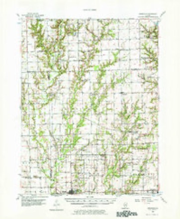
- 1953 USGS Indianapolis quadrangle1:250000, 4 printings
- 1956 USGS Annapolis quadrangle1:62500, 2 printings
- 1956 USGS Indianapolis quadrangle1:250000
- 1957 USGS Indianapolis quadrangle1:250000, 2 printings
- 1962 USGS Indianapolis quadrangle1:250000
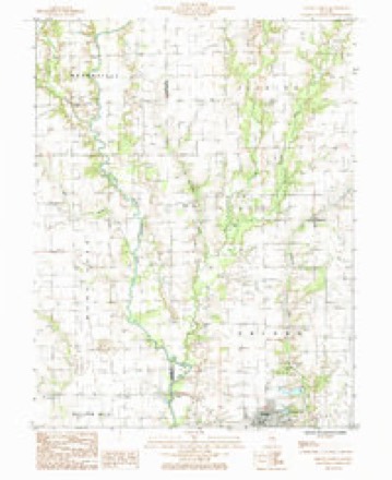
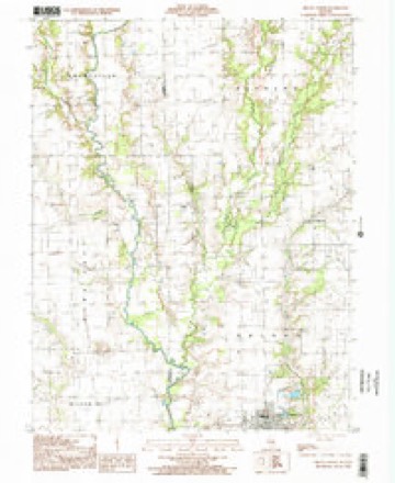
- 1985 USGS Oblong North quadrangle1:24000
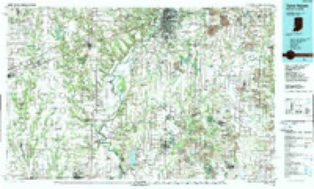
- 1986 USGS Terre Haute quadrangle1:100000, 2 printings
- 1998 USGS Oblong North quadrangle1:24000




In the county-history sources
1,216 words on this townshipILLINOIS HISTORICAL CRAWFORD COUNTY, published 1909 names this settlement in its chapter on Oblong Township. These are the passages that mention it, exactly as the scans read.
In the western part of Crawford County stretches a prairie, which was called Oblong by the first settlers in that region, and this name was subsequently given to the township division within whose borders it was included. This township has an area of 56 square miles, lying in the middle of the western portion of the county, extending seven miles east and west and eight miles north and south. It is bounded on the north by Licking Township, on the east by Robinson, south by Martin and west by Jasper County. Muddy Creek, Big Creek, Willow and Dogwood Creeks, and North Fork are the water courses running through the township. In its wild state nearly half of the township was wooded, heavy timber bordering the creek, and now the land, which is very productive, is divided into farms. moderate sized. Lot Watts, who came from Tennessee to Illinois early in the '20s, first buying a tract of eighty acres in the vieinity of Robinson, made the first entry of land in the township, locating on Section 6 in 1830. He was the first Justice of the Peace in the township, and subsequently served as one of the County Judges. His death took place in 1854, and that of his brother, Robert Watts, who settled in the township in 1831, occurred in 1871. James Watts, Robert's son, was a venturesome hunter and trapper, and became known a daring backwoods fighter. He married a daughter of William Wilson and lived in a small cabin, devoting the latter part of his life to trapping, whereby he profited much. Together with Robert Watts, arrived Jeremiah and Jesse York, cousins, and later, in 1831, Jesse Eaton. In the humble dwelling of Jesse York, a very worthy and influential man and a devout Methodist, were held the first religious services in the township. Jesse Eaton lived a while on North Fork, moving then to the northeastern part of the township, which was his home until 1863. He was an Old School Baptist minister, and preached throughout the township. Ezekiel and Areh York developed good farms in the southern part of the township, clearing the ground in 1834. In the same year George Miller, a successful hunter and trapper, but a bully and frontier marauder, "squatted" on North Fork, where he died in 1863.
Passage source: ILLINOIS HISTORICAL CRAWFORD COUNTY, published 1909.
Machine-read from a century-old scan, so expect the errors a machine makes: misspelled names, dropped words, stray characters.
Nearest settlements
The eight closest, with where each one stands in the county. Distances are straight-line, computed from the Geographic Names Information System coordinates.
| Map | Place | Distance | Sheets |
|---|---|---|---|
| Kibbie | 2.5 miles | 14 | |
| Oblong | 4.4 miles | 14 | |
| Porterville | 5.1 miles | 14 | |
| Stoy | 5.5 miles | 13 | |
| Bellair | 6.1 miles | 14 | |
| Annapolis | 6.8 miles | 14 | |
| Oil Center | 7.3 miles | 13 | |
| Robinson | 9.0 miles | 14 |
Elsewhere
Matched on this settlement's Geographic Names Information System number rather than its name, so it cannot be a different place of the same name in another state.
| Wikipedia article on Dogwood | An encyclopaedic summary. Its text is share-alike, so it is linked here rather than copied. |
| Wikidata item Q5288501 | The structured record the population and elevation above come from. Public domain (CC0). |
Provenance
This settlement is recorded in the Geographic Names Information System as feature 422633. The sheet list is computed by point-in-boundary test against the United States Geological Survey's historical topographic inventory. Both are works of the United States government and carry no copyright under 17 U.S.C. 105.