 Block
East Cape Girardeau, Illinois
25 topographic sheets cover this place, the earliest surveyed in 1920 and the latest in 1996. It stands in McClure precinct. It lies in ZIP code area 62957. It lies near Giboney Island. The Survey maps it on the McClure quadrangle. 289 people lived here at the 2020 count. It stands 335 feet above sea level.
Population over time
2 figuresEast Cape Girardeau fell from 385 to 289 between 2010 and 2020. These are the recorded population figures Wikidata holds for this place, reached through the Geographic Names Information System number this page is keyed on rather than by name, so they belong to this place and not to another of the same name. Most are census counts, but not all are: an early figure may be a founding or settlement estimate, and an estimate published within five years of a census is left out. The change column is computed, and is left blank where more than 20 years separate a figure from the one before it, because a gap that long is not a change between two counts.
| Year | People | Change |
|---|---|---|
| 2010 | 385 | |
| 2020 | 289 | -96 (-25%) |
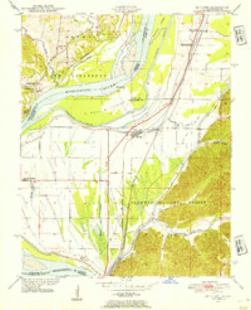
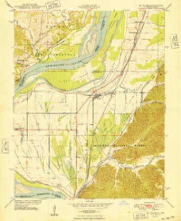
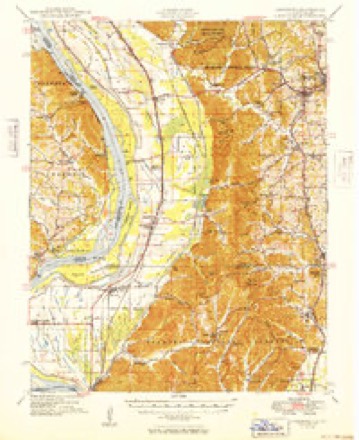
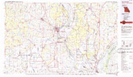
Topographic sheets covering this place
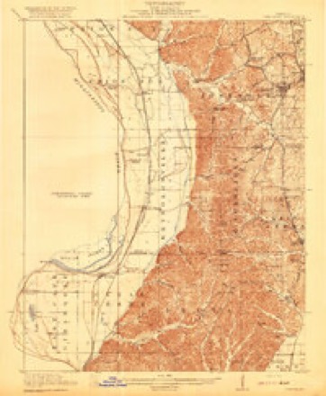
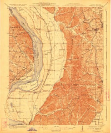
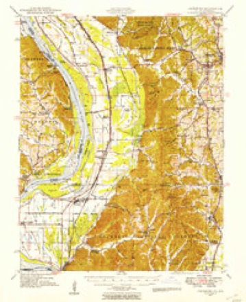
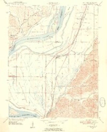
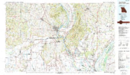
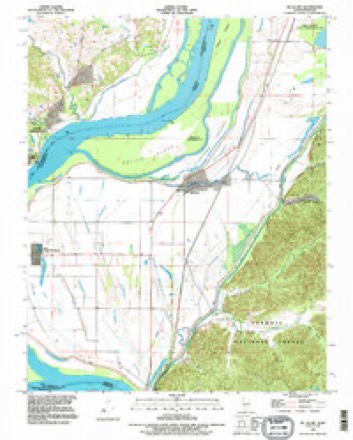
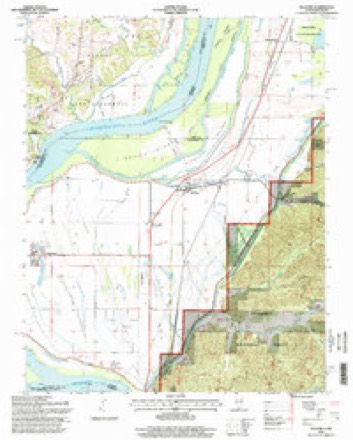
17 surveys from 25 printed sheetsMatched by testing this settlement's coordinate against the published boundary of every sheet in the United States Geological Survey's historical collection. Each opens the scanned sheet at the Survey.
- 1920 USGS Jonesboro quadrangle1:62500
- 1923 USGS Jonesboro quadrangle1:62500, 2 printings
- 1947 USGS Jonesboro quadrangle1:62500, 3 printings
- 1947 USGS Mc Clure quadrangle1:24000
- 1947 USGS McClure quadrangle1:24000, 2 printings
- 1948 USGS McClure quadrangle1:24000
- 1949 USGS Jonesboro quadrangle1:62500
- 1949 USGS Paducah quadrangle1:250000, 2 printings
- 1950 USGS Paducah quadrangle1:250000
- 1954 USGS Paducah quadrangle1:250000, 2 printings
- 1961 USGS Paducah quadrangle1:250000, 2 printings
- 1964 USGS Paducah quadrangle1:250000, 2 printings
- 1984 USGS Cape Girardeau quadrangle1:100000
- 1986 USGS Cape Girardeau quadrangle1:100000
- 1987 USGS Paducah quadrangle1:250000
- 1993 USGS McClure quadrangle1:24000
- 1996 USGS McClure quadrangle1:24000






Fires near this place
15 since 2004Regional context, not property-specific evidence. The federal wildfire occurrence database lists 15 fires within 5 miles of East Cape Girardeau between 2004 and 2018, burning about 175 acres in total. None started naturally. 2 were recorded as arson. Distance is straight-line from the map coordinates, so a fire counted here may appear on a neighbouring settlement's page as well.
| Reported cause | Fires |
|---|---|
| Debris and open burning | 6 |
| Missing data/not specified/undetermined | 4 |
| Arson/incendiarism | 2 |
| Railroad operations and maintenance | 1 |
| Recreation and ceremony | 1 |
| Power generation/transmission/distribution | 1 |
The most recent of them, most recent first, with the day each was reported and the service that recorded it.
| Date | Cause | Size | Reported by | Name on the report |
|---|---|---|---|---|
| 6 September 2006 | Debris and open burning | 2.5 acres | Shawnee National Forest | MUD PUPPY |
| 29 August 2017 | Debris and open burning | under an acre | Shawnee National Forest | SEXTON CREEK |
| 8 May 2018 | Arson/incendiarism | 90 acres | Shawnee National Forest | REIMAN |
| 5 April 2007 | Railroad operations and maintenance | under an acre | Shawnee National Forest | GALE FIRE |
| 25 April 2014 | Power generation/transmission/distribution | under an acre | Shawnee National Forest | GALE |
| 19 April 2005 | Missing data/not specified/undetermined | 47 acres | Shawnee National Forest | REIMANN ROAD |
| 6 March 2012 | Debris and open burning | 18 acres | Shawnee National Forest | OLD DELTA |
| 31 March 2015 | Missing data/not specified/undetermined | under an acre | Shawnee National Forest | HIGHWAY 3 |
Settlements close enough to share some of these fires:
Mines and quarries near this place
10 of 20 shownRegional context, not property-specific evidence. The federal mineral resources record lists 20 workings within 5 miles of East Cape Girardeau: 11 past producers, 7 producers, 1 unknown, 1 prospect. 7 still produce. What was taken out: Stone, Crushed/Broken, Sand and Gravel, Construction, Clay, Silica. Distance is straight-line from the map coordinates, so a quarry counted here may appear on a neighbouring settlement's page as well.
| Where | Site | Commodity | Status | Recorded |
|---|---|---|---|---|
| Marquette Clay Pit | Clay | Producer | ||
| Unknown Silica | Silica | Past Producer | ||
| Cape Giradeau Sand Co Plant | Sand and Gravel, Construction | Producer | ||
| Dredge # 5 | Sand and Gravel, Construction | Producer | ||
| Federal Mine | Stone, Crushed/Broken | Producer | ||
| Grays Point Quarry #2 & Mill | Stone, Crushed/Broken | Producer | ||
| Houck Stadium Quarry | Stone, Crushed/Broken | Past Producer | ||
| Marquette Quarry and Mill | Stone, Crushed/Broken | Producer | ||
| Oglesby Quarry | Stone, Crushed/Broken | Past Producer | ||
| Southeast Mo Stone Co Quarry & Plnt | Stone, Crushed/Broken | Producer |
Storms near this place
14 since 2002Regional context, not property-specific evidence. The National Weather Service names East Cape Girardeau in 14 storm reports between 2002 and 2025: 6 hail, 5 flood, 3 thunderstorm wind. No death or injury is recorded in these reports. Each account below is quoted exactly as the forecast office filed it, from the NOAA Storm Events Database, and each date opens the federal record of that event.
| When | Event | Place named | Harm | What the report says |
|---|---|---|---|---|
| January 2016 | Flood | East Cape Girardeau | $4,500,000 | Mississippi River levels continued their climb from December, and record flooding occurred early in the month. At the Thebes river gage, the river crested at a new record of 47.74 feet before dawn on the 2nd. The old record was 45.91 feet, which was set in May of 1995. Records at Thebes go back to at least 1844. The 2016 crest would have been higher if a major levee break had not occurred in Alexander County. Flood stage at Thebes is 33 feet. The primary flood-related impact was a large levee break (about one-quarter mile wide) in the Len Small Levee near Miller City, between Thebes and Cairo. This levee break contributed to major flooding in and near the communities of Olive Branch and Miller City. Several dozen residences were flooded, some of them by water up to seven feet deep. Voluntary evacuations were requested as floodwaters inundated these communities and cut off access roads. Many homes and businesses in these communities were sandbagged, but many of them ended up being flooded. A Red Cross shelter was opened at Cape Girardeau. The National Guard was requested to assist with sandbagging operations and levee repairs. A couple of relatively small levee breaches were reported between Miller City and Cairo. The levee protecting East Cape Girardeau was in danger of failing, and residents of that community were advised to evacuate. Schools were closed in much of the county due to widespread evacuations. The impact of all of this flooding would have been much greater during the growing season, when crop losses would have been extreme. Because of the high water, barge traffic was restricted on the Mississippi River. |
| July 2019 | Flood | East Cape Girardeau | $3,000,000 | The Mississippi River finally fell below flood stage at the Thebes river gage after spending about four and one-half months above flood stage. While the crest was among the ten highest on record, the extended duration of the flood played an even greater role on the impact. The combination of seepage and relief wells along the levees permitted large amounts of water to seep into normally dry areas. The biggest impacts in Alexander County were weeks after the river crested. Portions of Illinois Routes 3 and 146 were flooded and closed from the East Cape Girardeau area down to Thebes. A number of residences were flooded in McClure and East Cape Girardeau. Further south, the breach in the Len Small levee continued to permit large amounts of water into the Miller City area. A U.S. Geological Survey measurement determined that at least 20 percent of the total Mississippi River flow was exiting through the break in the Len Small levee. County roads and swaths of cropland were damaged extensively by fast-flowing water around the levee break. Six barges passed through the levee break and became stuck on Miller City Road. The loose barges damaged irrigation pivots and farm equipment. The river fell below flood stage late in the month, permitting more accurate damage assessments to take place. |
| March 2017 | Thunderstorm Wind | East Cape Girardeau | $90,000 | A microburst containing estimated winds near 85 mph moved across the Mississippi River into East Cape Girardeau. The damage was almost entirely on the south side of Route 146. Shingles and siding were blown off several homes. The roof decking was damaged on a couple of homes. Dozens of trees or tree limbs were blown down. |
| March 2025 | Hail | East Cape Girardeau | - | Nickel size hail fell near the intersection of Highway 146 and Highway 3 south of McClure. |
| May 2024 | Flood | East Cape Girardeau | - | Minor flooding on the Mississippi through much of May backed water into several creeks. |
| July 2024 | Flood | East Cape Girardeau | - | Minor flooding began across from Cape Girardeau in early July and continued through the third week of July with impacts mainly limited to low-lying agricultural areas. The river crested just below moderate flood stage on July 11th. |
| October 2014 | Thunderstorm Wind | East Cape Girardeau | - | A weather station maintained by the Illinois Department of Transportation measured a wind gust to 59 mph. |
| February 2014 | Thunderstorm Wind | East Cape Girardeau | - | A wind gust to 59 mph was measured by a weather station operated by the Illinois state Department of Transportation. |
| March 2005 | Hail | East Cape Girardeau | - | This severe thunderstorm crossed the Mississippi River, producing quarter-size hail in East Cape Girardeau and tennis ball size hail in Thebes. |
| April 2018 | Hail | East Cape Girardeau | - | no account filed |
| April 2017 | Hail | East Cape Girardeau | - | no account filed |
| May 2005 | Hail | East Cape Girardeau | - | no account filed |
| April 2003 | Hail | East Cape Girardeau | - | no account filed |
| December 2002 | Flood | East Cape Girardeau | - | no account filed |
Nearest settlements
The eight closest, with where each one stands in the county. Distances are straight-line, computed from the Geographic Names Information System coordinates.
| Map | Place | Distance | Sheets |
|---|---|---|---|
| McClure | 3.7 miles | 25 | |
| Gale | 4.1 miles | 22 | |
| Thebes | 5.5 miles | 22 | |
| Fayville | 9.8 miles | 22 | |
| Diswood | 10.2 miles | 22 | |
| Olive Branch | 11.6 miles | 22 | |
| Clank | 11.7 miles | 22 | |
| Tatumville | 11.8 miles | 24 |
Elsewhere
Matched on this settlement's Geographic Names Information System number rather than its name, so it cannot be a different place of the same name in another state.
| Wikipedia article on East Cape Girardeau | An encyclopaedic summary. Its text is share-alike, so it is linked here rather than copied. |
| Wikidata item Q376728 | The structured record the population and elevation above come from. Public domain (CC0). |
Provenance
This settlement is recorded in the Geographic Names Information System as feature 1669473. The sheet list is computed by point-in-boundary test against the United States Geological Survey's historical topographic inventory. Both are works of the United States government and carry no copyright under 17 U.S.C. 105.
Wildfire. Short, Karen C. 2022. Spatial wildfire occurrence data for the United States, 1992-2020 [FPA_FOD_20221014]. 6th Edition. Fort Collins, CO: Forest Service Research Data Archive. https://doi.org/10.2737/RDS-2013-0009.6 Collected with United States Government funding and usable without additional permissions or fees.
Mines and quarries. USGS Mineral Resources Data System (MRDS) https://mrdata.usgs.gov/mrds/ A work of the United States government, no copyright under 17 U.S.C. 105.
Storms. NOAA National Centers for Environmental Information, Storm Events Database https://www.ncei.noaa.gov/stormevents/ A work of the United States government, no copyright under 17 U.S.C. 105. Narratives are quoted verbatim from the National Weather Service report and are not edited or summarised.