 Block
Fairman, Illinois
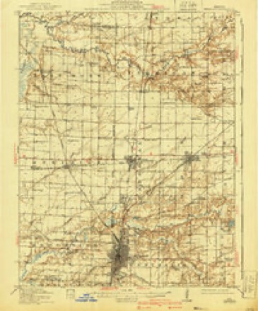
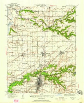
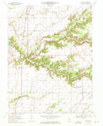
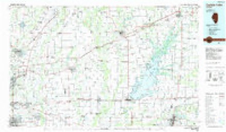
11 topographic sheets cover this place, the earliest surveyed in 1914 and the latest in 1985. It stands in Carrigan Township. It stands on Davidson Creek. The Survey maps it on the Fairman quadrangle.
Topographic sheets covering this place
6 surveys from 11 printed sheetsMatched by testing this settlement's coordinate against the published boundary of every sheet in the United States Geological Survey's historical collection. Each opens the scanned sheet at the Survey.
- 1914 USGS Centralia quadrangle1:62500, 3 printings
- 1935 USGS Centralia quadrangle1:62500
- 1958 USGS Belleville quadrangle1:250000, 3 printings
- 1962 USGS Belleville quadrangle1:250000
- 1970 USGS Fairman quadrangle1:24000
- 1985 USGS Carlyle Lake quadrangle1:100000, 2 printings


Storms near this place
7 since 2012Regional context, not property-specific evidence. The National Weather Service names Fairman in 7 storm reports between 2012 and 2025: 4 flash flood, 2 thunderstorm wind, 1 tornado. No death or injury is recorded in these reports. Each account below is quoted exactly as the forecast office filed it, from the NOAA Storm Events Database, and each date opens the federal record of that event.
| When | Event | Place named | Harm | What the report says |
|---|---|---|---|---|
| April 2025 | Flash Flood | Fairman | $100,000 | Town Creek in Salem rose rapidly due to heavy rain and was level with Eastlawn Cemetery and Tully Park. The emergency manager in Salem issued a voluntary evacuation of Starlight Mobile Home Park, which occurs anytime flooding conditions of this scale are present. A majority of main routes in and out of Salem were inundated with water and closed with cars floating in the floodwater down West Main Street. The reservoir overflow channel was topped and water flowed into the town park and inundated homes to its south. In Centralia, 4 to 5 fete of water covered Locust Street near a major production facility. Heavy rains of up to 8.5 inches fell during the event. |
| May 2024 | Tornado (EF0) | Fairman | $5,000 | The damage survey was not completed on the east side of Carlyle Lake including the portion of the track in Marion County. The survey relies on the support of subsequent reports until the tornado was suspected to have lifted just west of Hwy 51 north of Fairman where a small barn or farm outbuilding sustained major loss of its roof panels. The tornado was rated an EF1 in Marion County with a path length of 0.86 miles and a max path width of 25 yards. No deaths or injuries were reported. Overall, the tornado was rated EF1 with a path length of 18.5 miles and a max path width of 325 yards. |
| July 2022 | Flash Flood | Fairman | - | Up to four inches of rain fell in a short amount of time causing flash flooding. Several sections of U.S. Highway 51 were flooded north of Sandoval. |
| June 2019 | Thunderstorm Wind | Fairman | - | Thunderstorm winds blew down several trees, numerous tree limbs and uprooted a tree. |
| June 2018 | Flash Flood | Fairman | - | Up to three inches of rain fell in a short amount of time causing flash flooding. U.S. Highway 51 south of Patoka had at least a foot of water flowing over it, so it was closed for a time due to the flooding. |
| June 2013 | Flash Flood | Fairman | - | Up to three inches of rain fell in a short amount of time causing flash flooding. Several roads were flooded including U.S. Highway 51 just north of Sandoval and Red Stripe Road about a mile and a half southeast of Sandoval. |
| August 2012 | Thunderstorm Wind | Fairman | - | Thunderstorm winds blew down a large tree limb onto a power line. |
Nearest settlements
The eight closest, with where each one stands in the county. Distances are straight-line, computed from the Geographic Names Information System coordinates.
| Map | Place | Distance | Sheets |
|---|---|---|---|
| Sandoval | 4.3 miles | 13 | |
| Odin | 5.0 miles | 13 | |
| Patoka | 5.4 miles | 10 | |
| Tonti | 6.8 miles | 11 | |
| Junction City | 6.8 miles | 12 | |
| Selmaville | 7.6 miles | 11 | |
| Vernon | 8.6 miles | 10 | |
| Central City | 9.0 miles | 12 |
Provenance
This settlement is recorded in the Geographic Names Information System as feature 422686. The sheet list is computed by point-in-boundary test against the United States Geological Survey's historical topographic inventory. Both are works of the United States government and carry no copyright under 17 U.S.C. 105.
Storms. NOAA National Centers for Environmental Information, Storm Events Database https://www.ncei.noaa.gov/stormevents/ A work of the United States government, no copyright under 17 U.S.C. 105. Narratives are quoted verbatim from the National Weather Service report and are not edited or summarised.