 Block
Vernon, Illinois
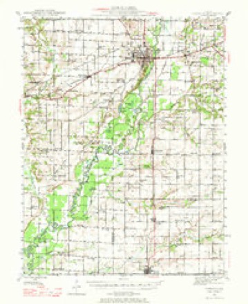
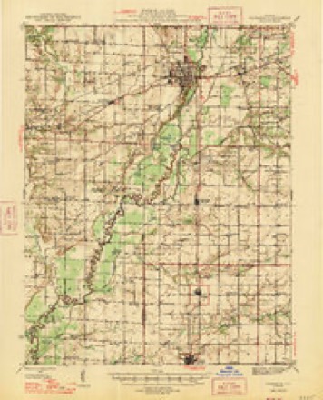
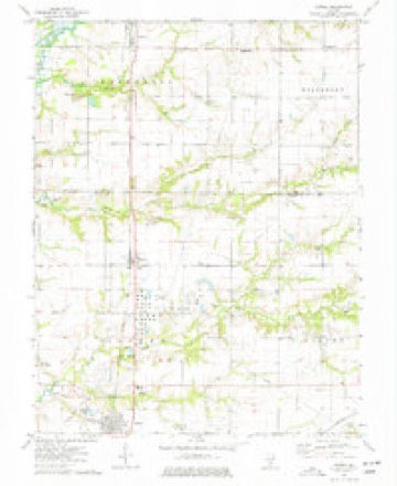
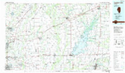
10 topographic sheets cover this place, the earliest surveyed in 1945 and the latest in 1985. It stands in Patoka Township. It lies in ZIP code area 62892. The Survey maps it on the Patoka quadrangle. 103 people lived here at the 2020 count. It stands 515 feet above sea level.
Population over time
2 figuresVernon fell from 129 to 103 between 2010 and 2020. These are the recorded population figures Wikidata holds for this place, reached through the Geographic Names Information System number this page is keyed on rather than by name, so they belong to this place and not to another of the same name. Most are census counts, but not all are: an early figure may be a founding or settlement estimate, and an estimate published within five years of a census is left out. The change column is computed, and is left blank where more than 20 years separate a figure from the one before it, because a gap that long is not a change between two counts.
| Year | People | Change |
|---|---|---|
| 2010 | 129 | |
| 2020 | 103 | -26 (-20%) |
Topographic sheets covering this place
6 surveys from 10 printed sheetsMatched by testing this settlement's coordinate against the published boundary of every sheet in the United States Geological Survey's historical collection. Each opens the scanned sheet at the Survey.
- 1945 USGS Vandalia quadrangle1:62500
- 1947 USGS Vandalia quadrangle1:62500
- 1958 USGS Belleville quadrangle1:250000, 3 printings
- 1962 USGS Belleville quadrangle1:250000
- 1974 USGS Patoka quadrangle1:24000, 2 printings
- 1985 USGS Carlyle Lake quadrangle1:100000, 2 printings


Storms near this place
15 since 1997Regional context, not property-specific evidence. The National Weather Service names Vernon in 15 storm reports between 1997 and 2024: 7 thunderstorm wind, 5 flash flood, 2 hail, 1 tornado. The reports record 5 deaths. Each account below is quoted exactly as the forecast office filed it, from the NOAA Storm Events Database, and each date opens the federal record of that event.
| When | Event | Place named | Harm | What the report says |
|---|---|---|---|---|
| December 2015 | Flash Flood | Vernon | 5 killed | Automated gauges in the area only measured about an inch of rain between 3 pm and 8 pm. However, this was enough for Louse Creek to rise, covering Farthing Road at a low water crossing, about half a mile north of intersection with Britt Road. A family of 5 was traveling from Kentucky to Minnesota and somehow got lost after getting off of I-57. The family ended up about 2 miles southeast of Patoka, going north on Farthing Road. In the dark, the driver probably did not see the rushing water over the roadway before it was too late. The vehicle was carried about 150 to 200 feet downstream and became lodged in some trees. An occupant of the vehicle called 911 about 730 pm, but shortly after a firefighter arrived on the scene, the car became dislodged and sank. Dive teams recovered the car from the water several hours later. All 5 occupants were pronounced dead from drowning just before midnight. The flooding did not affect any structures in the area, just road flooding in a few locations. Also, this area of flooding was well removed from the axis of the heaviest rain that stretched from the eastern Ozarks into central Illinois. |
| April 2024 | Tornado (EF1) | Vernon | $30,000 | Around 5:21 pm, a brief tornado touched down just southeast of the intersection of North 600th Street and Davis Road, where it destroyed a farm outbuilding, lofting debris into surrounding trees and powerlines. The tornado continued to the northeast causing minor damage to the roof of a small farm shed on Flat Creek Drive before lifting and dissipating. The tornado was rated EF-1 with a maximum estimated wind speed of 90 mph. The path length was 1.26 miles with a maximum path width of 25 yards. No deaths or injuries were reported. |
| March 2008 | Flash Flood | Vernon | $25,000 | Up to 7 inches of rain fell on already saturated soils in Washington county from the late evening hours of March 17th through March 18th. Numerous roads were flooded throughout the county. Salem Town Creek which runs from the reservoir on the north side of Salem towards the east then southeast side of town where there is another reservoir, was overflowing. A mobile home park on the east side of town near the eastern reservoir had 6 to 8 inches of water surrounding 6 mobile homes, but did not flood the structures themselves. Just east of Central City, a combination of 16 homes and mobile homes were experiencing high water due to Raccoon Creek being out of its banks. |
| June 2008 | Flash Flood | Vernon | $1,000 | Two to four inches of rain fell in a short amount of time over northern Marion county. Numerous secondary roads were water covered and impassable especially in the Patoka, Vernon and Kinmundy areas. U.S. Highway 51 and Illinois Route 37 were affected as well in some locations. |
| August 2019 | Flash Flood | Vernon | - | Up to four inches of rain fell in about a 3 hour period causing flash flooding in numerous locations across Marion County. U.S. Highway 50 just northeast of Sandoval was flooded. Iuka Road south of the Illinois Route 161 extension was closed due to a partial culvert washout at Joe Branch Creek. In the Patoka Township area, all North Fork and Flat Creek crossings were flooded and impassable. There were several water rescues, especially in the Salem and Kinmundy-Alma areas. No injuries were reported. |
| August 2019 | Flash Flood | Vernon | - | Up to four inches of rain fell in a short amount of time causing flash flooding over portions of Marion County. One vehicle became stranded after driving into high water covering Murray Road just northwest of Patoka. Also, Illinois Route 37 south of Salem was briefly flooded. |
| June 2009 | Thunderstorm Wind | Vernon | - | Thunderstorm winds blew down a large tree and tv antenna. |
| May 2005 | Thunderstorm Wind | Vernon | - | Emergency management officials reported tin from the roof of a storage building blown off. |
| May 2004 | Thunderstorm Wind | Vernon | - | Thunderstorm winds downed some trees and snapped off large tree branches. |
| April 2003 | Hail | Vernon | - | The Patoka Police reported 1 inch hail in Vernon. |
| August 2001 | Thunderstorm Wind | Vernon | - | An off duty NWS meteorologist reported some power poles and large trees down just north of Vernon. |
| January 2005 | Thunderstorm Wind | Vernon | - | no account filed |
| January 2005 | Thunderstorm Wind | Vernon | - | no account filed |
| January 2005 | Thunderstorm Wind | Vernon | - | no account filed |
| March 1997 | Hail | Vernon | - | no account filed |
Nearest settlements
The eight closest, with where each one stands in the county. Distances are straight-line, computed from the Geographic Names Information System coordinates.
Elsewhere
Matched on this settlement's Geographic Names Information System number rather than its name, so it cannot be a different place of the same name in another state.
| Wikipedia article on Vernon | An encyclopaedic summary. Its text is share-alike, so it is linked here rather than copied. |
| Wikidata item Q2328211 | The structured record the population and elevation above come from. Public domain (CC0). |
Provenance
This settlement is recorded in the Geographic Names Information System as feature 420268. The sheet list is computed by point-in-boundary test against the United States Geological Survey's historical topographic inventory. Both are works of the United States government and carry no copyright under 17 U.S.C. 105.
Storms. NOAA National Centers for Environmental Information, Storm Events Database https://www.ncei.noaa.gov/stormevents/ A work of the United States government, no copyright under 17 U.S.C. 105. Narratives are quoted verbatim from the National Weather Service report and are not edited or summarised.