 Block
Oakwood, Illinois
16 topographic sheets cover this place, the earliest surveyed in 1931 and the latest in 1987. It stands in Oakwood Township. It lies in ZIP code area 61858. The Survey maps it on the Oakwood quadrangle. 1,325 people lived here at the 2020 count. It stands 646 feet above sea level.
Population over time
2 figuresOakwood fell from 1,595 to 1,325 between 2010 and 2020. These are the recorded population figures Wikidata holds for this place, reached through the Geographic Names Information System number this page is keyed on rather than by name, so they belong to this place and not to another of the same name. Most are census counts, but not all are: an early figure may be a founding or settlement estimate, and an estimate published within five years of a census is left out. The change column is computed, and is left blank where more than 20 years separate a figure from the one before it, because a gap that long is not a change between two counts.
| Year | People | Change |
|---|---|---|
| 2010 | 1,595 | |
| 2020 | 1,325 | -270 (-17%) |
Topographic sheets covering this place
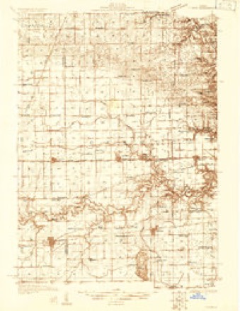
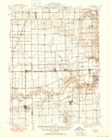
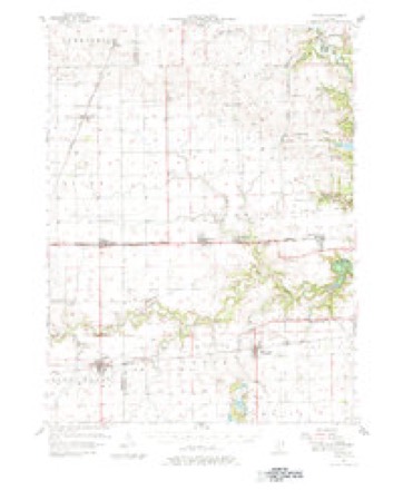
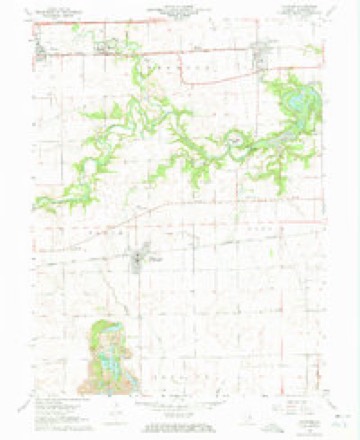
9 surveys from 16 printed sheetsMatched by testing this settlement's coordinate against the published boundary of every sheet in the United States Geological Survey's historical collection. Each opens the scanned sheet at the Survey.
- 1931 USGS Fithian quadrangle1:48000
- 1943 USGS Fithian quadrangle1:62500, 2 printings
- 1953 USGS Danville quadrangle1:250000, 3 printings
- 1955 USGS Danville quadrangle1:250000
- 1956 USGS Danville quadrangle1:250000
- 1957 USGS Fithian quadrangle1:62500, 3 printings
- 1968 USGS Oakwood quadrangle1:24000, 3 printings
- 1984 USGS Danville quadrangle1:100000
- 1987 USGS Danville quadrangle1:100000





In the county-history sources
20,921 words on this townshipHistory of Vermilion County, Together with Historic Notes on the Northwest, Gleaned from Early Authors, Old Maps and Manuscripts, Private and Official Correspondence, and Other Authentic, Though, for the Most Part, Out-of-the-way Sources, published 1879 names this settlement in its chapter on Oakwood Township. These are the passages that mention it, exactly as the scans read.
The history of Oakwood township is important, not only on account of its early settlement, but because of its natural advantages as well. Its prairies are rich and extensive, its timber land fully sufficient, while the wealth of its coal banks is incalculable. Oakwood lies on the western border of Vermilion county. Its greatest length is, from east to west, twelve miles. Its width, north and south, is six miles. Like all other townships of Vermilion county, it is made up of parts of several congressional towns. Its north line is two miles north of the south line of town 20 N. Its south line is two miles north of the south line of town 19 N". The west side is the boundary line between Vermilion and Champaign counties. It is the middle line of range 14. On the east the boundary line is broken. Beginning at the south line of the township, at the southeast corner of section 19, T. 19 N., range 12 W., the boundary extends north one mile, thence east two miles on the south side of sections 17 and 16; thence north one mile; thence west one mile to the southeast corner of section 8; thence north one mile; thence west one-fourth mile; thence north one mile, and thence back east to the section line, where a north course on the east side of sections 32 and 29, in town 20, range 12, leads to the northern boundary. It will thus be seen that Oakwood includes a part of six congressional towns; that the greater portion of it is in range 13 W. ; that there is just one half of one congressional town in range 14; that but a small portion is in range 12 W., and that the whole consists of sixtyfive and three-fourths square miles.
Passage source: History of Vermilion County, Together with Historic Notes on the Northwest, Gleaned from Early Authors, Old Maps and Manuscripts, Private and Official Correspondence, and Other Authentic, Though, for the Most Part, Out-of-the-way Sources, published 1879.
In surface and soil the township is diversified. There is little of the soil, however, that cannot be said to be very deep, rich and productive. On the eastern end of the township the broken surface is not quite so attractive to the eye, nor perhaps as remunerative to the laborer; but it furnishes timber for those who dwell in the prairies. On the east end of the south side the same remark would apply. The western border is particularly flat in some places, so that the music of the cheerless frog may often be heard as he boasts of his broad domain. Beside the fiat surface, there is little else to complain of in regard to Nature's gifts fro Oakwood. This defect is largely overcome by draining. In fact, the level land is said to be superior to any other, when well drained. The farmers of Oakwood are draining, within the last few years, as rapidly as they can. All kinds of ditching is done, but tile draining is the most certain and successful, although we were told of a mole ditch which had been in successful operation for more than twenty years. Oakwood is prairie land, with the exception of a band of timber on the east and southeast, and a belt which follows Stony Creek about half way across the township, from the south. These furnish all the timber necessary for the improvement of the prairie portions. There is plenty of water in most parts. On the eastern border is the Middle Fork of the Vermilion River; on the south side is the Salt Fork ; through the center we find Stony Creek, which rises near the northwest corner of the township, and flows southeasterly through sections 31, 5, 8, 9, 16 and 22, and empties into the Salt Fork.
Passage source: History of Vermilion County, Together with Historic Notes on the Northwest, Gleaned from Early Authors, Old Maps and Manuscripts, Private and Official Correspondence, and Other Authentic, Though, for the Most Part, Out-of-the-way Sources, published 1879.
The early settlements in this township take the lead of anything in the county, both in regard to priority of settlement, and their importance in the subsequent growth of the country ; and although these pioneer efforts were of such importance in the development of the wealth of this country, the particulars have faded away until accuracy is almost impossible in many cases. The early settlement at the old Major Vance salt works, the first in the township, is fully discussed in another place. It is only necessary to refer to it here. As an example of the general misconception which has arisen in regard to this settlement, we would say that in Oakwood township we found very few persons who had ever heard of Mr. Treat or Blackman, and none had a just conception of the affair, or a positive knowledge of any of the details. Again we were informed that a settlement was made and a cabin built on the Middle Fork as early as 1818, when the evidence shows that the settlement at the salt works was not onty the first here, but the first anywhere within the limits of Vermilion county.
Passage source: History of Vermilion County, Together with Historic Notes on the Northwest, Gleaned from Early Authors, Old Maps and Manuscripts, Private and Official Correspondence, and Other Authentic, Though, for the Most Part, Out-of-the-way Sources, published 1879.
Machine-read from a century-old scan, so expect the errors a machine makes: misspelled names, dropped words, stray characters.
Read the whole chapter on Oakwood Township - it names this place 40 more 40 times.
Fires near this place
3 since 2003Regional context, not property-specific evidence. The federal wildfire occurrence database lists 3 fires within 5 miles of Oakwood between 2003 and 2014, burning about 8 acres in total. None started naturally. None was recorded as arson. Distance is straight-line from the map coordinates, so a fire counted here may appear on a neighbouring settlement's page as well.
| Reported cause | Fires |
|---|---|
| Recreation and ceremony | 1 |
| Smoking | 1 |
| Missing data/not specified/undetermined | 1 |
The most recent of them, most recent first, with the day each was reported and the service that recorded it.
| Date | Cause | Size | Reported by | Name on the report |
|---|---|---|---|---|
| 23 March 2014 | Smoking | under an acre | Illinois Division of Forestry Resources | JORDAN2 |
| 23 March 2003 | Recreation and ceremony | 5.0 acres | Illinois State Fire Marshal's Office | not named |
| 12 March 2008 | Missing data/not specified/undetermined | 2.0 acres | Illinois Division of Forestry Resources | KIME |
Settlements close enough to share some of these fires:
Mines and quarries near this place
3 within 5 milesRegional context, not property-specific evidence. The federal mineral resources record lists 3 workings within 5 miles of Oakwood: 2 occurrences, 1 past producer. None of them still produces. What was taken out: Fire Clay (Refractory), Sand and Gravel, Construction. Distance is straight-line from the map coordinates, so a quarry counted here may appear on a neighbouring settlement's page as well.
| Where | Site | Commodity | Status | Recorded |
|---|---|---|---|---|
| Seymour Gravel Pit | Sand and Gravel, Construction | Past Producer | ||
| Harmattan Mine Shale Exposure | Fire Clay (Refractory) | Occurrence | ||
| Western Brick Co. Shale Exposure | Fire Clay (Refractory) | Occurrence |
Storms near this place
16 since 1994Regional context, not property-specific evidence. The National Weather Service names Oakwood in 16 storm reports between 1994 and 2025: 9 thunderstorm wind, 6 hail, 1 tornado. No death or injury is recorded in these reports. Each account below is quoted exactly as the forecast office filed it, from the NOAA Storm Events Database, and each date opens the federal record of that event.
| When | Event | Place named | Harm | What the report says |
|---|---|---|---|---|
| June 2009 | Thunderstorm Wind | Oakwood | $205,000 | A downburst with estimated winds of 85 to 90 mph caused widespread wind damage on the south side of Oakwood. Tin roofing material was lifted off a barn just south of Route 150 and west of South Oakwood Street. Numerous large trees and tree limbs were blown down, causing damage to several mobile homes. Further south, five power poles were blown down and a garage was destroyed on South Oakwood Street. Extensive tree damage continued about three quarters of a mile east into a heavily wooded area. Several homes were damaged in this area. |
| July 2011 | Thunderstorm Wind | Oakwood | $10,000 | A van was blown off I-74 at mile marker 206. |
| March 2025 | Thunderstorm Wind | Oakwood | - | A semi-truck was overturned on I-74 near Oakwood. No injuries were reported. |
| June 2023 | Thunderstorm Wind | Oakwood | - | A few trees were blown over. |
| August 2022 | Thunderstorm Wind | Oakwood | - | Several large tree branches and power lines were blown down. |
| April 2020 | Thunderstorm Wind | Oakwood | - | A wooden fence was blown over. |
| August 2019 | Thunderstorm Wind | Oakwood | - | Several trees were blown down in Oakwood. |
| May 2019 | Thunderstorm Wind | Oakwood | - | A tree was blown down. |
| June 2009 | Thunderstorm Wind | Oakwood | - | A tree was blown onto a propane tank, causing a leak in the tank. |
| May 2003 | Tornado (F0) | Oakwood | - | A tornado briefly touched down in a field. No damage or injuries were reported. |
| May 2019 | Hail | Oakwood | - | no account filed |
| September 2015 | Hail | Oakwood | - | no account filed |
| July 2011 | Hail | Oakwood | - | no account filed |
| June 2009 | Hail | Oakwood | - | no account filed |
| May 2000 | Hail | Oakwood | - | no account filed |
| March 1994 | Hail | Oakwood | - | no account filed |
Nearest settlements
The eight closest, with where each one stands in the county. Distances are straight-line, computed from the Geographic Names Information System coordinates.
| Map | Place | Distance | Sheets |
|---|---|---|---|
| Bronson | 1.4 miles | 16 | |
| Missionfield | 1.5 miles | 16 | |
| Belgium Row | 1.8 miles | 15 | |
| Bucktown | 1.8 miles | 20 | |
| Glenburn | 1.9 miles | 15 | |
| Brothers | 2.5 miles | 15 | |
| Muncie | 3.5 miles | 16 | |
| Newtown | 3.6 miles | 15 |
Elsewhere
Matched on this settlement's Geographic Names Information System number rather than its name, so it cannot be a different place of the same name in another state.
| Wikipedia article on Oakwood | An encyclopaedic summary. Its text is share-alike, so it is linked here rather than copied. |
| Wikidata item Q942428 | The structured record the population and elevation above come from. Public domain (CC0). |
Provenance
This settlement is recorded in the Geographic Names Information System as feature 414923. The sheet list is computed by point-in-boundary test against the United States Geological Survey's historical topographic inventory. Both are works of the United States government and carry no copyright under 17 U.S.C. 105.
Wildfire. Short, Karen C. 2022. Spatial wildfire occurrence data for the United States, 1992-2020 [FPA_FOD_20221014]. 6th Edition. Fort Collins, CO: Forest Service Research Data Archive. https://doi.org/10.2737/RDS-2013-0009.6 Collected with United States Government funding and usable without additional permissions or fees.
Mines and quarries. USGS Mineral Resources Data System (MRDS) https://mrdata.usgs.gov/mrds/ A work of the United States government, no copyright under 17 U.S.C. 105.
Storms. NOAA National Centers for Environmental Information, Storm Events Database https://www.ncei.noaa.gov/stormevents/ A work of the United States government, no copyright under 17 U.S.C. 105. Narratives are quoted verbatim from the National Weather Service report and are not edited or summarised.