 Block
Farmersville, Illinois
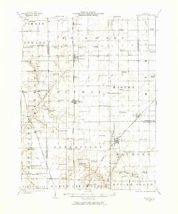
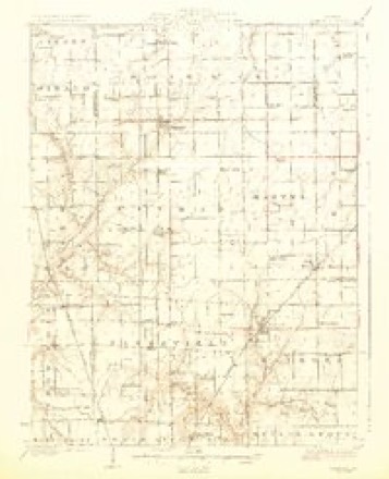
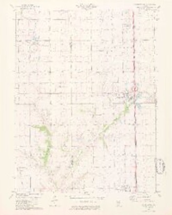
12 topographic sheets cover this place, the earliest surveyed in 1923 and the latest in 1982. It stands in Bois D'Arc Township. It lies in ZIP code area 62533. The Survey maps it on the Farmersville quadrangle. 689 people lived here at the 2020 count. It stands 639 feet above sea level.
Population over time
2 figuresFarmersville fell from 724 to 689 between 2010 and 2020. These are the recorded population figures Wikidata holds for this place, reached through the Geographic Names Information System number this page is keyed on rather than by name, so they belong to this place and not to another of the same name. Most are census counts, but not all are: an early figure may be a founding or settlement estimate, and an estimate published within five years of a census is left out. The change column is computed, and is left blank where more than 20 years separate a figure from the one before it, because a gap that long is not a change between two counts.
| Year | People | Change |
|---|---|---|
| 2010 | 724 | |
| 2020 | 689 | -35 (-5%) |
Topographic sheets covering this place
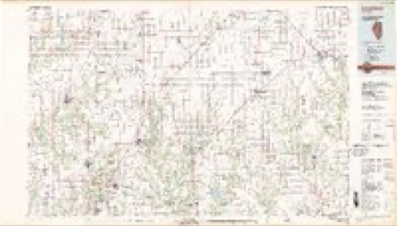
6 surveys from 12 printed sheetsMatched by testing this settlement's coordinate against the published boundary of every sheet in the United States Geological Survey's historical collection. Each opens the scanned sheet at the Survey.
- 1923 USGS Raymond quadrangle1:62500, 2 printings
- 1925 USGS Raymond quadrangle1:62500, 2 printings
- 1958 USGS Decatur quadrangle1:250000, 3 printings
- 1961 USGS Decatur quadrangle1:250000, 2 printings
- 1979 USGS Farmersville quadrangle1:24000, 2 printings
- 1982 USGS Litchfield quadrangle1:100000


Storms near this place
26 since 1996Regional context, not property-specific evidence. The National Weather Service names Farmersville in 26 storm reports between 1996 and 2024: 15 thunderstorm wind, 5 tornado, 5 hail, 1 flash flood. No death or injury is recorded in these reports. Each account below is quoted exactly as the forecast office filed it, from the NOAA Storm Events Database, and each date opens the federal record of that event.
| When | Event | Place named | Harm | What the report says |
|---|---|---|---|---|
| May 2006 | Tornado (F1) | Farmersville | $100,000 | A tornado touched down 4.6 miles east northeast of Farmersville (Montgomery County in St. Louis CWA). It traveled to the southeast destroying one machine shed and damaging three other machine sheds. Two barns and two homes sustained damage as well. Debris from the machine sheds were tossed a quarter of a mile downwind from their initial locations. The tornado then crossed into Christian County (Central Illinois's CWA) south of the intersection of 3050N and the county line. No injuries were reported. |
| August 2024 | Thunderstorm Wind | Farmersville | $8,800 | The northwest portion of Farmersville was impacted by a localized downburst with winds estimated around 70 mph. Several large trees were snapped, numerous branches and a power pole were down, and several metal outbuildings sustained damage to garage doors or siding. |
| June 2022 | Thunderstorm Wind | Farmersville | $5,000 | Thunderstorm winds blew down numerous large tree limbs around town. Some of the limbs briefly blocked streets. |
| July 2020 | Tornado (EF0) | Farmersville | - | A tornado developed about 3 miles north-northwest of Farmersville, Illinois, near the intersection of Rovey Lane and East 1st Road. A few storm chasers captured video of the tornado as it moved northeast and then north toward the Montgomery and Sangamon County line. On video the tornado appeared to be multivortex and violent, yet damage in the St. Louis county warning area was limited to a few broken tree branches, flattened corn and the partial destruction of a small outbuilding. Therefore, it was rated as an EF-0 in Montgomery County with a path length of 3.89 miles and a max path width of 300 yards. The tornado continued north into Sangamon County (WFO Central IL CWA) before lifting and dissipating about 2.4 miles south of Divernon. Overall, the tornado was rated EF0 with a total path length of 4.24 miles and a max path width of 300 yards. No deaths or injuries were reported. |
| June 2020 | Flash Flood | Farmersville | - | Up to 4 inches of rain fell in a short amount of time causing flash flooding. Numerous roads in the Farmersville and Waggoner areas. Macoupin Creek is out of its banks in Farmersville. |
| April 2017 | Thunderstorm Wind | Farmersville | - | Thunderstorm winds blew down numerous large trees, tree limbs and power lines. Also, 2 semi trucks were blown over on Interstate 55 between mile markers 72 and 73. Two miles southwest of Farmersville, metal roof of a shed was blown off and several power poles snapped off. A construction trailer was flipped onto it's side. In Farmersville, a large uprooted tree fell onto a house causing moderate damage. |
| July 2015 | Thunderstorm Wind | Farmersville | - | Thunderstorm winds blew down numerous large tree limbs between Farmersville and Litchfield. |
| May 2013 | Thunderstorm Wind | Farmersville | - | A wide swath of wind damage occurred over far northern Montgomery County. Several outbuilding sustained minor to moderate damage. Five grain bins were blown off their foundations into a field on Thomasville Trail, about half a mile west of I-55. Also, several large trees and numerous tree limbs were blown down. |
| April 2011 | Tornado (EF2) | Farmersville | - | The tornado began around 608 pm, one third of a mile northwest of the intersection of Studebaker Avenue and West Frontage Road, or around one and a quarter miles north of Farmersville. The tornado moved east snapping 3 power poles along the frontage road just to the west of Interstate 55. A grain bin originally located just to the west of I-55 was rolled across the interstate and deposited in a tree line a quarter mile to the east of the interstate. A number of trees were also snapped or uprooted in the vicinity of the grain bin. The tornado moved slightly south of due east damaging or destroying two machine sheds along County Road 400E. Debris was scattered well to the east and the tornado appeared to lift near County Road 600E. The maximum damage from this tornado was rated EF-2. The path length was around 3.2 miles with a maximum width of 150 yards. |
| May 2008 | Thunderstorm Wind | Farmersville | - | Amateur radio spotters reported tree damage and a couple of power lines down. |
| August 2007 | Thunderstorm Wind | Farmersville | - | Several power lines were blown down. |
| April 2006 | Tornado (F1) | Farmersville | - | A tornado formed east of Farmersville and moved east northeast for almost 2 miles in Montgomery County. The tornado then crossed into Christian County. Machine sheds and barns were heavily damaged at three. farms along the path. |
| May 2006 | Thunderstorm Wind | Farmersville | - | Downburst winds caused minor tree and structural damage to one farmstead along and north of the tornado damage track over northeastern Montgomery County. |
| May 2003 | Hail | Farmersville | - | Storm spotters reported 3/4 inch hail. |
| May 2002 | Hail | Farmersville | - | Amateur radio spotters reported 1 inch hail in Farmersville. |
| August 2001 | Hail | Farmersville | - | Storm spotters reported nickel size hail. |
| May 2021 | Hail | Farmersville | - | no account filed |
| May 1998 | Thunderstorm Wind | Farmersville | - | no account filed |
| May 1998 | Hail | Farmersville | - | no account filed |
| June 1998 | Thunderstorm Wind | Farmersville | - | no account filed |
| June 1998 | Thunderstorm Wind | Farmersville | - | no account filed |
| June 1998 | Thunderstorm Wind | Farmersville | - | no account filed |
| June 1998 | Thunderstorm Wind | Farmersville | - | no account filed |
| June 1998 | Thunderstorm Wind | Farmersville | - | no account filed |
| November 1998 | Thunderstorm Wind | Farmersville | - | no account filed |
| February 1996 | Tornado (F0) | Farmersville | - | no account filed |
Nearest settlements
The eight closest, with where each one stands in the county. Distances are straight-line, computed from the Geographic Names Information System coordinates.
| Map | Place | Distance | Sheets |
|---|---|---|---|
| Thomasville | 3.2 miles | 12 | |
| Waggoner | 4.5 miles | 12 | |
| White Oak | 6.3 miles | 14 | |
| Zanesville | 8.4 miles | 10 | |
| Harvel | 8.7 miles | 13 | |
| Raymond | 9.5 miles | 13 | |
| Shop Creek | 11.6 miles | 10 | |
| Barnett | 12.6 miles | 10 |
Elsewhere
Matched on this settlement's Geographic Names Information System number rather than its name, so it cannot be a different place of the same name in another state.
| Wikipedia article on Farmersville | An encyclopaedic summary. Its text is share-alike, so it is linked here rather than copied. |
| Wikidata item Q2179085 | The structured record the population and elevation above come from. Public domain (CC0). |
Provenance
This settlement is recorded in the Geographic Names Information System as feature 408285. The sheet list is computed by point-in-boundary test against the United States Geological Survey's historical topographic inventory. Both are works of the United States government and carry no copyright under 17 U.S.C. 105.
Storms. NOAA National Centers for Environmental Information, Storm Events Database https://www.ncei.noaa.gov/stormevents/ A work of the United States government, no copyright under 17 U.S.C. 105. Narratives are quoted verbatim from the National Weather Service report and are not edited or summarised.