 Block
Waggoner, Illinois
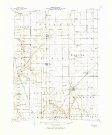
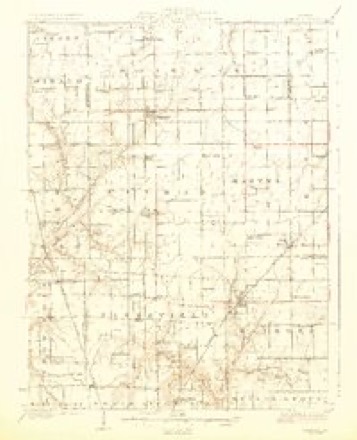
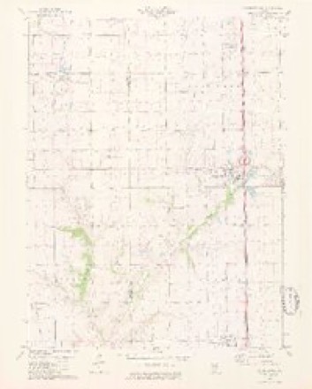
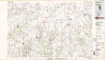
12 topographic sheets cover this place, the earliest surveyed in 1923 and the latest in 1982. It stands in Pitman Township. It lies in ZIP code area 62572. The Survey maps it on the Farmersville quadrangle. 181 people lived here at the 2020 count. It stands 640 feet above sea level.
Population over time
2 figuresWaggoner fell from 266 to 181 between 2010 and 2020. These are the recorded population figures Wikidata holds for this place, reached through the Geographic Names Information System number this page is keyed on rather than by name, so they belong to this place and not to another of the same name. Most are census counts, but not all are: an early figure may be a founding or settlement estimate, and an estimate published within five years of a census is left out. The change column is computed, and is left blank where more than 20 years separate a figure from the one before it, because a gap that long is not a change between two counts.
| Year | People | Change |
|---|---|---|
| 2010 | 266 | |
| 2020 | 181 | -85 (-32%) |
Topographic sheets covering this place
6 surveys from 12 printed sheetsMatched by testing this settlement's coordinate against the published boundary of every sheet in the United States Geological Survey's historical collection. Each opens the scanned sheet at the Survey.
- 1923 USGS Raymond quadrangle1:62500, 2 printings
- 1925 USGS Raymond quadrangle1:62500, 2 printings
- 1958 USGS Decatur quadrangle1:250000, 3 printings
- 1961 USGS Decatur quadrangle1:250000, 2 printings
- 1979 USGS Farmersville quadrangle1:24000, 2 printings
- 1982 USGS Litchfield quadrangle1:100000


Storms near this place
14 since 1996Regional context, not property-specific evidence. The National Weather Service names Waggoner in 14 storm reports between 1996 and 2023: 5 thunderstorm wind, 4 tornado, 2 flash flood, 1 lightning. No death or injury is recorded in these reports. Each account below is quoted exactly as the forecast office filed it, from the NOAA Storm Events Database, and each date opens the federal record of that event.
| When | Event | Place named | Harm | What the report says |
|---|---|---|---|---|
| May 1996 | Lightning | Waggoner | $80,000 | no account filed |
| March 2022 | Tornado (EF1) | Waggoner | $50,000 | A brief tornado touched down on the evening of March 5th, 2022 just south of Farmersville, IL. The tornado first touched down near East 2nd Road, where it did damage to a one story residence. At this location, the tornado ripped the roof off the garage of a home and the awning off the front porch. The tornado continued northeast, doing some minor damage to a farm building just west of Interstate 55. As it crossed Interstate 55, it blew over a semi truck on the highway. The tornado continued east of Interstate 55, doing substantial damage to some large farm buildings along Morrisonville Avenue and East 4th Road. From there, the tornado began to weaken as it struck a newly constructed hog farm along East 5th Road, before quickly lifting near Macoupin Creek. Overall, the tornado was rated EF-1 with a path length of 3.89 miles and a max path width of 40 yards. No deaths or injuries were reported. |
| March 2023 | Tornado (EF0) | Waggoner | $15,000 | As the tornado moved into Montgomery County, it crossed Interstate 55. On the east side of the interstate, south of Morrisonville Ave, the tornado caused minor damage to tree limbs along a hedge line before crossing East nth Rd, continuing northeast. Soon after, the tornado crossed Morrisonville Ave and struck a small metal machine shed on the northern side of the road. The tornado lofted debris across East 5th Rd into a field and drainage canal before lifting at 6:53 PM. In Montgomery County the tornado was rated EF0 with a max wind speed of 80 mph. The path length was 5.48 miles and a max path width of 150 yards. Overall, the tornado was rated EF0 with a max wind speed of 80 mph. The path length was 6.33 miles and a max path width of 150 yards. No deaths or injuries were reported. No deaths or injuries were reported. |
| June 2008 | Flash Flood | Waggoner | $1,000 | Up to two inches of rain fell on already saturated soils in Montgomery county. Water was over several roads in the Raymond area including Illinois Route 48 west of Raymond. |
| July 2016 | Thunderstorm Wind | Waggoner | - | A line of severe storms moved through Montgomery County. Numerous trees, tree limbs and power lines were blown down countywide. Damage was reported in Waggoner, Litchfield, Hillsboro, Donnellson, and Coffeen. In Donnellson, two grain bins and a shed were destroyed. |
| May 2013 | Tornado (EF1) | Waggoner | - | A tornado touched down half a mile north of the intersection of County Road 100E and 2200N or 3.5 miles south-southwest of Waggoner, Illinois. Several large tree limbs 6 to 10 inches in diameter were blown down by the tornado. The tornado path at this location was 30 yards wide. The tornado traveled northeast and damaged one barn and a few outbuildings on Goby Avenue, about 1.5 miles west of I-55. The roof of two outbuildings were uplifted and tossed 100 to 150 yards to the northeast. Another outbuilding was severely damaged on Coalfield Avenue, half a quarter of a mile west of I-55. Damage intensity was rated EF1. Debris from this machine shed was tossed across a corn field and across I-55. The tornado then crossed I-55, blowing over three tractor trailers. No injuries were reported. The tornado then damaged a third farmstead on County Road 2500N approximately a quarter of a mile east of I-55. Windows were blown inward on a two story farm home and two machine sheds were severely damaged. The damage intensity was rated EF1 and damage was 40 yards wide. The tornado continued to move northeast and downed large tree branches 6 to 10 inches in diameter on East Waggoner Road, about 2 miles east southeast of Waggoner, Illinois. The tornado then lifted and dissipated. The tornado path length was 4.3 miles with a max path width of 50 yards. The damage was rated EF1 with max wind speeds estimated between 90 and 100 MPH. |
| May 2011 | Thunderstorm Wind | Waggoner | - | Thunderstorm winds blew down several large trees and power lines around town. |
| September 2010 | Flash Flood | Waggoner | - | Up to three inches of rain fell in a short amount of time causing flash flooding. Several roads were flooded including East First Road near North 20th Avenue near Raymond. |
| September 2008 | Flood | Waggoner | - | Up to 6 inches of rain fell onto already saturated soils causing flooding. The rain was from the remnants of Hurricane Ike. Numerous roads were flooded countywide, especially in the Nokomis, Hillsboro, Litchfield, Witt and Raymond areas. In Raymond, one person drove into the flood waters at the railroad underpass on Route 127 just south of Route 48 and got stuck. He managed to get out of his truck and get to dry land on his own. |
| April 2005 | Tornado (F0) | Waggoner | - | A tornado briefly touched down in a field near the Coldfield Rest Area on I-55. No damage or injuries were reported. |
| May 2023 | Hail | Waggoner | - | no account filed |
| June 1998 | Thunderstorm Wind | Waggoner | - | no account filed |
| June 1998 | Thunderstorm Wind | Waggoner | - | no account filed |
| May 1996 | Thunderstorm Wind | Waggoner | - | no account filed |
Nearest settlements
The eight closest, with where each one stands in the county. Distances are straight-line, computed from the Geographic Names Information System coordinates.
| Map | Place | Distance | Sheets |
|---|---|---|---|
| Zanesville | 3.8 miles | 10 | |
| Farmersville | 4.5 miles | 12 | |
| Raymond | 5.9 miles | 13 | |
| Harvel | 6.6 miles | 13 | |
| Shop Creek | 7.0 miles | 10 | |
| Thomasville | 7.7 miles | 12 | |
| Barnett | 8.1 miles | 10 | |
| Honey Bend | 8.6 miles | 13 |
Elsewhere
Matched on this settlement's Geographic Names Information System number rather than its name, so it cannot be a different place of the same name in another state.
| Wikipedia article on Waggoner | An encyclopaedic summary. Its text is share-alike, so it is linked here rather than copied. |
| Wikidata item Q2523087 | The structured record the population and elevation above come from. Public domain (CC0). |
Provenance
This settlement is recorded in the Geographic Names Information System as feature 420367. The sheet list is computed by point-in-boundary test against the United States Geological Survey's historical topographic inventory. Both are works of the United States government and carry no copyright under 17 U.S.C. 105.
Storms. NOAA National Centers for Environmental Information, Storm Events Database https://www.ncei.noaa.gov/stormevents/ A work of the United States government, no copyright under 17 U.S.C. 105. Narratives are quoted verbatim from the National Weather Service report and are not edited or summarised.