 Block
Ficklin, Illinois
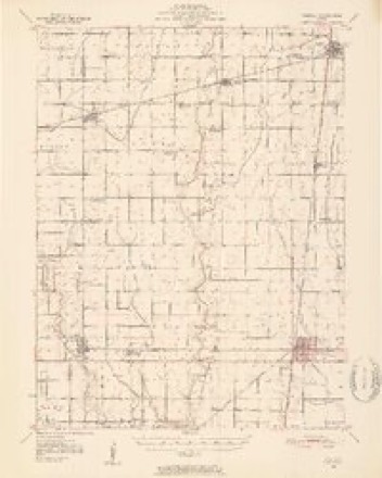
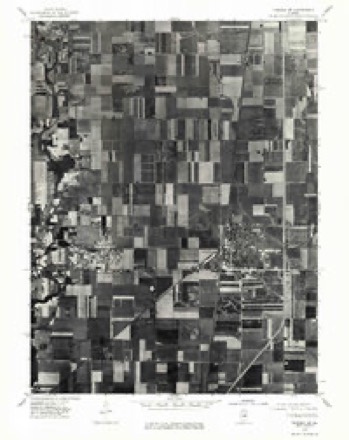
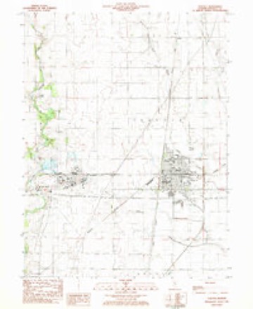
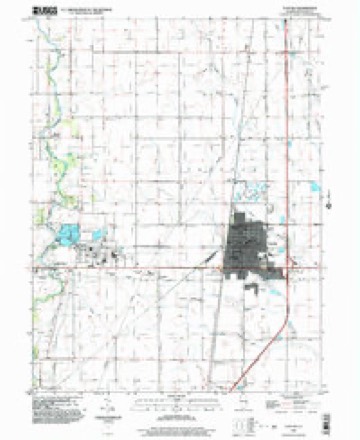
14 topographic sheets cover this place, the earliest surveyed in 1950 and the latest in 1999. It stands in Garrett Township. It lies in ZIP code area 61953. The Survey maps it on the Tuscola quadrangle. It stands 673 feet above sea level.
Topographic sheets covering this place
7 surveys from 14 printed sheetsMatched by testing this settlement's coordinate against the published boundary of every sheet in the United States Geological Survey's historical collection. Each opens the scanned sheet at the Survey.
- 1950 USGS Tuscola quadrangle1:62500, 4 printings
- 1958 USGS Decatur quadrangle1:250000, 3 printings
- 1961 USGS Decatur quadrangle1:250000, 2 printings
- 1975 USGS Tuscola SE quadrangle1:24000
- 1983 USGS Tuscola quadrangle1:24000
- 1985 USGS Decatur quadrangle1:100000, 2 printings
- 1999 USGS Tuscola quadrangle1:24000



What happened here
An account from the chapter on Garrett township. The inset identifies its exact source book and publication year.
Douglas Countt
In the early days a principal part of the living was venison. Thomas Goodson once killed two deer with a single ball, on what is now the large farm of William Brian. He also assisted in exterminating the last family of wild cats in the Okaw timber. He relates having cut a large tree for rail timber in the exact spot where he had cut a similar one thirty-six years before, as if the timber is holding its own notwithstanding the large quantities used for fuel and improvement.
In the county-history sources
1,650 words on this townshipThe county-history sources names this settlement in its chapter on Garrett Township. These are the passages that mention it, exactly as the scans read.
Machine-read from a century-old scan, so expect the errors a machine makes: misspelled names, dropped words, stray characters.
Read the whole chapter on Garrett Township - it names this place 1 more 1 time.
Fires near this place
2 since 2019Regional context, not property-specific evidence. The federal wildfire occurrence database lists 2 fires within 5 miles of Ficklin in 2019, burning about 1 acre in total. None started naturally. None was recorded as arson. Distance is straight-line from the map coordinates, so a fire counted here may appear on a neighbouring settlement's page as well.
| Reported cause | Fires |
|---|---|
| Missing data/not specified/undetermined | 1 |
| Smoking | 1 |
The most recent of them, most recent first, with the day each was reported and the service that recorded it.
| Date | Cause | Size | Reported by | Name on the report |
|---|---|---|---|---|
| 25 October 2019 | Smoking | under an acre | Illinois Division of Forestry Resources | 19-180 |
| 7 January 2019 | Missing data/not specified/undetermined | under an acre | Illinois Division of Forestry Resources | 19-006 |
Settlements close enough to share some of these fires:
Mines and quarries near this place
1 within 5 milesRegional context, not property-specific evidence. The federal mineral resources record lists 1 working within 5 miles of Ficklin: 1 past producer. None of them still produces. What was taken out: Stone. Distance is straight-line from the map coordinates, so a quarry counted here may appear on a neighbouring settlement's page as well.
| Where | Site | Commodity | Status | Recorded |
|---|---|---|---|---|
| Douglas City Hwy Dept Pit | Stone | Past Producer |
Storms near this place
1 since 2013Regional context, not property-specific evidence. The National Weather Service names Ficklin in 1 storm report in 2013: 1 tornado. No death or injury is recorded in these reports. Each account below is quoted exactly as the forecast office filed it, from the NOAA Storm Events Database, and each date opens the federal record of that event.
| When | Event | Place named | Harm | What the report says |
|---|---|---|---|---|
| November 2013 | Tornado (EF3) | Ficklin | $1,200,000 | A tornado touched down 3.7 miles NW of Tuscola at 12:44 PM CST, then tracked northeastward and crossed into Champaign County about 1.5 miles NW of Villa Grove at 12:52 PM CST. The roof of a house and 2 outbuildings were damaged during the first 2 miles of the track. The tornado strengthened after it crossed U.S. Highway 45 doing major damage to 2 homes, several large farm buildings, numerous power poles, and a garage. The tornado then turned to the east, damaging the roofs of two homes and destroying several outbuildings. It then crossed I-57 near mile marker 218 where it destroyed a mobile home just east of the highway. The tornado did major damage to several more roofs and outbuildings before it merged with another tornado 2 miles WNW of Villa Grove, turned to the northeast, and crossed into Champaign County. |
Nearest settlements
The eight closest, with where each one stands in the county. Distances are straight-line, computed from the Geographic Names Information System coordinates.
| Map | Place | Distance | Sheets |
|---|---|---|---|
| Chicken Bristle | 2.7 miles | 14 | |
| Garrett | 3.7 miles | 14 | |
| Parkview | 3.8 miles | 14 | |
| Southland Acres | 3.8 miles | 14 | |
| Tuscola | 3.8 miles | 14 | |
| Bourbon | 3.9 miles | 13 | |
| Hillcrest | 4.1 miles | 14 | |
| Northgate | 4.2 miles | 14 |
Elsewhere
Matched on this settlement's Geographic Names Information System number rather than its name, so it cannot be a different place of the same name in another state.
| Wikipedia article on Ficklin | An encyclopaedic summary. Its text is share-alike, so it is linked here rather than copied. |
| Wikidata item Q5446520 | The structured record the population and elevation above come from. Public domain (CC0). |
Provenance
This settlement is recorded in the Geographic Names Information System as feature 408352. The sheet list is computed by point-in-boundary test against the United States Geological Survey's historical topographic inventory. Both are works of the United States government and carry no copyright under 17 U.S.C. 105.
Wildfire. Short, Karen C. 2022. Spatial wildfire occurrence data for the United States, 1992-2020 [FPA_FOD_20221014]. 6th Edition. Fort Collins, CO: Forest Service Research Data Archive. https://doi.org/10.2737/RDS-2013-0009.6 Collected with United States Government funding and usable without additional permissions or fees.
Mines and quarries. USGS Mineral Resources Data System (MRDS) https://mrdata.usgs.gov/mrds/ A work of the United States government, no copyright under 17 U.S.C. 105.
Storms. NOAA National Centers for Environmental Information, Storm Events Database https://www.ncei.noaa.gov/stormevents/ A work of the United States government, no copyright under 17 U.S.C. 105. Narratives are quoted verbatim from the National Weather Service report and are not edited or summarised.