 Block
Bourbon, Illinois
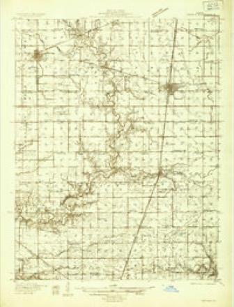
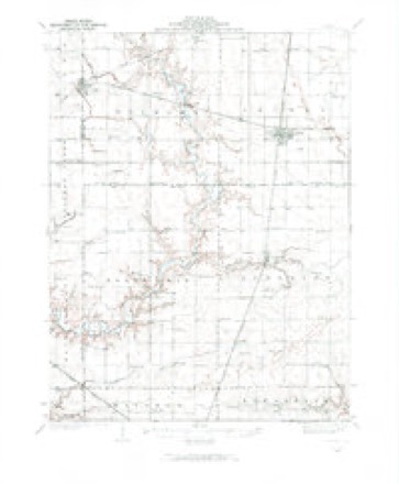
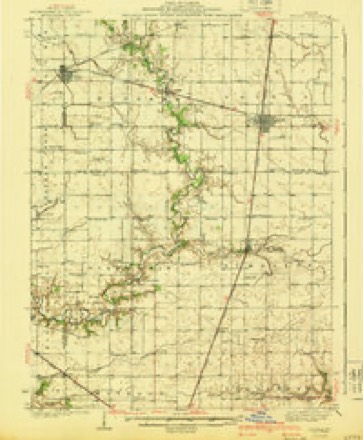
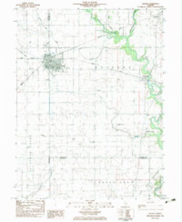
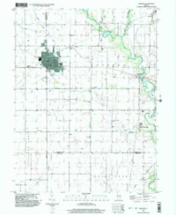
13 topographic sheets cover this place, the earliest surveyed in 1935 and the latest in 1998. It stands in Bourbon Township. It lies in ZIP code area 61953. It stands on Dry Fork. The Survey maps it on the Arthur quadrangle. It stands 659 feet above sea level.
Topographic sheets covering this place
8 surveys from 13 printed sheetsMatched by testing this settlement's coordinate against the published boundary of every sheet in the United States Geological Survey's historical collection. Each opens the scanned sheet at the Survey.
- 1935 USGS Arcola quadrangle1:48000
- 1935 USGS Arcola quadrangle1:62500, 2 printings
- 1940 USGS Arcola quadrangle1:62500
- 1958 USGS Decatur quadrangle1:250000, 3 printings
- 1961 USGS Decatur quadrangle1:250000, 2 printings
- 1983 USGS Arthur quadrangle1:24000
- 1985 USGS Decatur quadrangle1:100000, 2 printings
- 1998 USGS Arthur quadrangle1:24000



In the county-history sources
1,730 words on this townshipHistory of Douglas County, Illinois, published 1876 names this settlement in its chapter on Bourbon Township. These are the passages that mention it, exactly as the scans read.
Bourbon Township consists of forty-two sections of land in the southwest part of the county, equal to about the same number of square miles, and 27,175 acres. Amongst the first settlers were Geo. Dehart and his sons, Samuel and Lucas. He was road-master in Coles county and his district extended from Sadorus' Grove, on the north county line, to a point six miles south of the Springfield road. Allen and William Campbell were also of the first. Mr. Allen Campbell was, at the time of his death in 1875, with one exception, the largest land owner in the county. Isaac Gruelle, Maiden Jones, Israel Chandler and his sons, were amongst the earliest comers. Of these, Dr. Apperson is living in the township, a large land owner and has an extensive medical practice. He is a nephew of Dr. John Apperson, who was the first physician in Coles county. Maiden Jones, who came in 1840, was Sheriff" of Coles county when Douglas county was parted from it. He was elected in 1S5S, and was elected to the Stace Legislature in 1864 and again in 1S66. Lemuel Chandler was the first Supervisor of the township and served four consecutive terms. The Dehart sons are yet well known active business men. Curtis G. and Campbell McComb, at present citizens of the county, were old residents of Coles at the institution of the new county. Thomas Moore entered wrest half northeast quarter section 23, 15, 7, in 1S31.
Passage source: History of Douglas County, Illinois, published 1876.
In the sonthwest part settled the Amish of some twenty-five families, who were preceded here by M. Yoter, Miller and others in 1864. They much resemble the society of Friends in plainness of attire, integrity and almost total exemption from pauperism. The name is derived from that of the founder of the society who, in the German States of Europe, saw fit to secede from the Menonites, of whom much has been heard lately, with regard to:the emigration of large numbers of them from Russia to the West. The proposed marriages are publicly announced, and a marriage outside ot the Society is "tolerable and not to be endured." They dress plainly, partly to avoid the frivolities of fashion, and partly that there may be no notable distinction between the rich and the poor. They have no churches or meeting houses but meet at each others dwellings, as the spirit moves them. The clothing of the men is often confined with hooks and eyes, but the notion that thsy wear no buttons is erroneous. The heads of the women are lawavs covered with a neat white cap and over the neck and shoulders
Passage source: History of Douglas County, Illinois, published 1876.
Adults only are baptized and that by pouring. Infants are not entitled to this sacrament, they preferring to teach first, for every descendent has a birth-right in the church. Of German extraction and long settled in western Pennsylvania, their speech amongst themselves is an odd mixture of German and English, the "American" part of which can be readily detected by an intelligent observer, and the language is popularly known as "Pennsylvania Dutch." They all speak "American" as well as their neighbors, so that, trusting to the hearing alone, few would suspect the presence of a German speaking person. Almost painfully neat in their housekeeping, forehanded in everything pertaining to the comfort of the inner man, with great hospitality, all educated with industry, integrity and economy, they are a valuable addition to the population and wealth of Douglas county.
Passage source: History of Douglas County, Illinois, published 1876.
Machine-read from a century-old scan, so expect the errors a machine makes: misspelled names, dropped words, stray characters.
Read the whole chapter on Bourbon Township - it names this place 6 more 6 times.
Fires near this place
1 since 2019Regional context, not property-specific evidence. The federal wildfire occurrence database lists 1 fire within 5 miles of Bourbon in 2019, burning under an acre in total. None started naturally. None was recorded as arson. Distance is straight-line from the map coordinates, so a fire counted here may appear on a neighbouring settlement's page as well.
| Reported cause | Fires |
|---|---|
| Missing data/not specified/undetermined | 1 |
The most recent of them, most recent first, with the day each was reported and the service that recorded it.
| Date | Cause | Size | Reported by | Name on the report |
|---|---|---|---|---|
| 7 January 2019 | Missing data/not specified/undetermined | under an acre | Illinois Division of Forestry Resources | 19-006 |
Settlements close enough to share some of these fires:
Storms near this place
4 since 1996Regional context, not property-specific evidence. The National Weather Service names Bourbon in 4 storm reports between 1996 and 2026: 2 thunderstorm wind, 1 hail, 1 tornado. No death or injury is recorded in these reports. Each account below is quoted exactly as the forecast office filed it, from the NOAA Storm Events Database, and each date opens the federal record of that event.
| When | Event | Place named | Harm | What the report says |
|---|---|---|---|---|
| March 2026 | Tornado (EF1) | Bourbon | - | This tornado began about 4.5 miles southwest of Tuscola along County Road 750 N. It continued east near that road, snapping numerous large pine trees and damage an outbuilding before dissipating shortly after crossing N County Road 800 E. The tornado was rated EF-1 and was in progress for three minutes. |
| July 2022 | Hail | Bourbon | - | Report from county road 300 E. Report relayed by broadcast media. |
| August 2000 | Thunderstorm Wind | Bourbon | - | A large tree was blown down, blocking a road just north of Bourbon. |
| May 1996 | Thunderstorm Wind | Bourbon | - | no account filed |
Nearest settlements
The eight closest, with where each one stands in the county. Distances are straight-line, computed from the Geographic Names Information System coordinates.
| Map | Place | Distance | Sheets |
|---|---|---|---|
| Fillmore (historical) | 2.2 miles | 13 | |
| Chesterville | 3.0 miles | 13 | |
| Ficklin | 3.9 miles | 14 | |
| Galton | 4.2 miles | 13 | |
| Garrett | 4.4 miles | 14 | |
| Arthur | 5.4 miles | 13 | |
| Arcola | 5.7 miles | 13 | |
| Atwood | 5.8 miles | 14 |
Elsewhere
Matched on this settlement's Geographic Names Information System number rather than its name, so it cannot be a different place of the same name in another state.
| Wikipedia article on Bourbon | An encyclopaedic summary. Its text is share-alike, so it is linked here rather than copied. |
| Wikidata item Q4950097 | The structured record the population and elevation above come from. Public domain (CC0). |
Provenance
This settlement is recorded in the Geographic Names Information System as feature 404720. The sheet list is computed by point-in-boundary test against the United States Geological Survey's historical topographic inventory. Both are works of the United States government and carry no copyright under 17 U.S.C. 105.
Wildfire. Short, Karen C. 2022. Spatial wildfire occurrence data for the United States, 1992-2020 [FPA_FOD_20221014]. 6th Edition. Fort Collins, CO: Forest Service Research Data Archive. https://doi.org/10.2737/RDS-2013-0009.6 Collected with United States Government funding and usable without additional permissions or fees.
Storms. NOAA National Centers for Environmental Information, Storm Events Database https://www.ncei.noaa.gov/stormevents/ A work of the United States government, no copyright under 17 U.S.C. 105. Narratives are quoted verbatim from the National Weather Service report and are not edited or summarised.