 Block
Genoa, Illinois
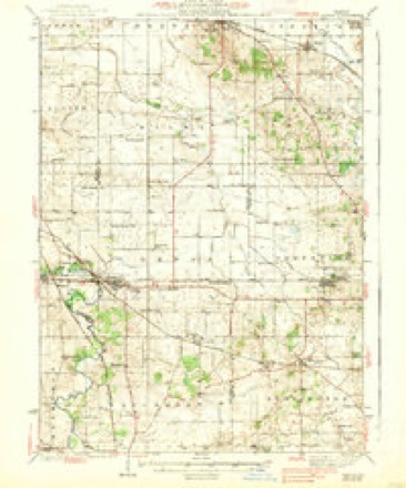
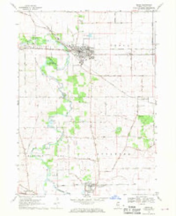
13 topographic sheets cover this place, the earliest surveyed in 1938 and the latest in 1981. It stands in Genoa Township. It lies in ZIP code area 60135. The Survey maps it on the Genoa quadrangle. 5,298 people lived here at the 2020 count. It stands 830 feet above sea level.
Population over time
2 figuresGenoa grew from 5,193 to 5,298 between 2010 and 2020. These are the recorded population figures Wikidata holds for this place, reached through the Geographic Names Information System number this page is keyed on rather than by name, so they belong to this place and not to another of the same name. Most are census counts, but not all are: an early figure may be a founding or settlement estimate, and an estimate published within five years of a census is left out. The change column is computed, and is left blank where more than 20 years separate a figure from the one before it, because a gap that long is not a change between two counts.
| Year | People | Change |
|---|---|---|
| 2010 | 5,193 | |
| 2020 | 5,298 | +105 (+2%) |
Topographic sheets covering this place
7 surveys from 13 printed sheetsMatched by testing this settlement's coordinate against the published boundary of every sheet in the United States Geological Survey's historical collection. Each opens the scanned sheet at the Survey.
- 1938 USGS Genoa quadrangle1:62500, 3 printings
- 1954 USGS Rockford quadrangle1:250000
- 1955 USGS Rockford quadrangle1:250000
- 1958 USGS Rockford quadrangle1:250000, 4 printings
- 1963 USGS Rockford quadrangle1:250000
- 1968 USGS Genoa quadrangle1:24000, 2 printings
- 1981 USGS Elgin quadrangle1:100000





In the county-history sources
3,576 words on this townshipHistory of DeKalb County, Illinois, published 1868 names this settlement in its chapter on Genoa Township. These are the passages that mention it, exactly as the scans read.
In the spring of 1838, Mr. Perkins' house was entered by a party of them, Avho robbed him of $300. He had good evidence that it was taken by the Brodies, of Brodies' Grove, who were understood to be confederated with Whittemore and others at Genoa, but no prosecution was made, nor was any of the money recovered.
Passage source: History of DeKalb County, Illinois, published 1868.
During the year 1838 many new settlers came in, and Genoa became quite a lively little village. Dr. H. F. Page commenced the practice of medicine there, James S. Waterman opened a stock of goods, and one E. P. Gleason, who afterwards figured extensively as a leader of the banditti, came in, and bought the claim of Whittemore and Corey. He had the reputation of being a man of wealth, and began to talk about building flouring mills, starting stores, and otherwise contributing to the growth and enlargement of the business of the place. During the spring of 1838 he set out that fine row of maples that now constitute a conspicuous ornament of the village.
Passage source: History of DeKalb County, Illinois, published 1868.
On the 4th of July, 1888, a great celebration was held at Genoa, at which George H. Hill delivered an oration to an audience of over a thousand people, gathered from Rockford, Aurora, St. Charles, and all the country round. Genoa was then as large and as promising a town as any of these places. Belvidere contained only two houses, and was by no means so important a place.
Passage source: History of DeKalb County, Illinois, published 1868.
Machine-read from a century-old scan, so expect the errors a machine makes: misspelled names, dropped words, stray characters.
Read the whole chapter on Genoa Township - it names this place 14 more 14 times.
Mines and quarries near this place
2 within 5 milesRegional context, not property-specific evidence. The federal mineral resources record lists 2 workings within 5 miles of Genoa: 1 producer, 1 past producer. 1 still produces. What was taken out: Sand and Gravel, Construction, Stone, Crushed/Broken. Distance is straight-line from the map coordinates, so a quarry counted here may appear on a neighbouring settlement's page as well.
| Where | Site | Commodity | Status | Recorded |
|---|---|---|---|---|
| Floit Sand & Gravel Co. | Sand and Gravel, Construction | Producer | ||
| Unnamed Limestone Quarry | Stone, Crushed/Broken | Past Producer |
Storms near this place
21 since 1996Regional context, not property-specific evidence. The National Weather Service names Genoa in 21 storm reports between 1996 and 2025: 16 thunderstorm wind, 2 hail, 1 flash flood, 1 heavy rain. No death or injury is recorded in these reports. Each account below is quoted exactly as the forecast office filed it, from the NOAA Storm Events Database, and each date opens the federal record of that event.
| When | Event | Place named | Harm | What the report says |
|---|---|---|---|---|
| August 2006 | Thunderstorm Wind | Genoa | $2,000 | Tree limbs and power lines were blown down. |
| March 2025 | Thunderstorm Wind | Genoa | - | A tree was reported down onto overhead wires in Genoa. |
| May 2025 | Thunderstorm Wind | Genoa | - | A wind gust to 67 mph was measured. |
| August 2025 | Thunderstorm Wind | Genoa | - | Emergency management reported many trees, power poles, and power lines down along Ash Rd between N State Rd and IL Rt. 23 north of Genoa. |
| August 2025 | Thunderstorm Wind | Genoa | - | Emergency management reported a large tree down and lying across IL Rt. 23 north of IL Rt. 72 northeast of Genoa. |
| August 2025 | Thunderstorm Wind | Genoa | - | Genoa emergency management reported tree damage around both the north and south sides of town. |
| July 2024 | Thunderstorm Wind | Genoa | - | Mulitple reports of tree damage were received from Genoa. |
| July 2022 | Hail | Genoa | - | Quarter size hail was reported south of Genoa. |
| July 2022 | Flood | Genoa | - | A photo shared on social media showed a large portion of Kiernan Park near Deer Creek was inundated with water. |
| July 2021 | Thunderstorm Wind | Genoa | - | A photo was shared on social media of a large tree limb that was snapped. |
| August 2021 | Thunderstorm Wind | Genoa | - | Power lines were blown down. |
| April 2020 | Hail | Genoa | - | Multiple reports of quarter size hail were received from areas south of Genoa. |
| June 2020 | Thunderstorm Wind | Genoa | - | Large trees were blown down in Genoa. |
| July 2019 | Thunderstorm Wind | Genoa | - | A large tree was blown down, blocking Derby Line Road. |
| June 2009 | Flash Flood | Genoa | - | Poplar Road was flooded and closed east of Route 23. |
| August 2009 | Heavy Rain | Genoa | - | Rainfall of 4.63 inches was reported in the past 24 hours. |
| July 2006 | Thunderstorm Wind | Genoa | - | Tree damage reported in Genoa. |
| July 2005 | Thunderstorm Wind | Genoa | - | Several trees were blown down. |
| April 1999 | Thunderstorm Wind | Genoa | - | Thunderstorm winds damaged a farm near Genoa or Derby Line Road. Lots of limbs were blown down , a barn roof was damaged and windows were blown out in a farm house. |
| July 2003 | Thunderstorm Wind | Genoa | - | no account filed |
| April 1996 | Thunderstorm Wind | Genoa | - | no account filed |
Nearest settlements
The eight closest, with where each one stands in the county. Distances are straight-line, computed from the Geographic Names Information System coordinates.
| Map | Place | Distance | Sheets |
|---|---|---|---|
| Kingston | 3.5 miles | 13 | |
| Charter Grove | 3.9 miles | 13 | |
| New Lebanon | 4.8 miles | 13 | |
| Colvin Park | 5.6 miles | 15 | |
| Five Points | 7.0 miles | 13 | |
| Sycamore | 7.5 miles | 9 | |
| Wilkinson | 7.9 miles | 13 | |
| Kirkland | 8.4 miles | 13 |
Elsewhere
Matched on this settlement's Geographic Names Information System number rather than its name, so it cannot be a different place of the same name in another state.
| Wikipedia article on Genoa | An encyclopaedic summary. Its text is share-alike, so it is linked here rather than copied. |
| Wikidata item Q575588 | The structured record the population and elevation above come from. Public domain (CC0). |
Provenance
This settlement is recorded in the Geographic Names Information System as feature 421818. The sheet list is computed by point-in-boundary test against the United States Geological Survey's historical topographic inventory. Both are works of the United States government and carry no copyright under 17 U.S.C. 105.
Mines and quarries. USGS Mineral Resources Data System (MRDS) https://mrdata.usgs.gov/mrds/ A work of the United States government, no copyright under 17 U.S.C. 105.
Storms. NOAA National Centers for Environmental Information, Storm Events Database https://www.ncei.noaa.gov/stormevents/ A work of the United States government, no copyright under 17 U.S.C. 105. Narratives are quoted verbatim from the National Weather Service report and are not edited or summarised.