 Block
Graymont, Illinois
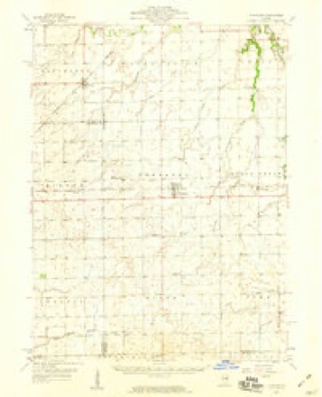
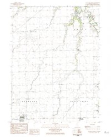
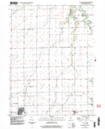
13 topographic sheets cover this place, the earliest surveyed in 1958 and the latest in 1998. It stands in Rooks Creek Township. It lies in ZIP code area 61743. The Survey maps it on the Flanagan North quadrangle. It stands 653 feet above sea level.
Topographic sheets covering this place
8 surveys from 13 printed sheetsMatched by testing this settlement's coordinate against the published boundary of every sheet in the United States Geological Survey's historical collection. Each opens the scanned sheet at the Survey.
- 1958 USGS Flanagan quadrangle1:62500, 2 printings
- 1958 USGS Peoria quadrangle1:250000, 4 printings
- 1961 USGS Peoria quadrangle1:250000
- 1963 USGS Peoria quadrangle1:250000
- 1983 USGS Flanagan North quadrangle1:24000
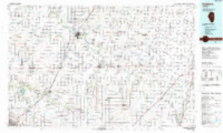
- 1985 USGS Fairbury quadrangle1:100000, 2 printings
- 1990 USGS Peoria quadrangle1:250000
- 1998 USGS Flanagan North quadrangle1:24000




Storms near this place
4 since 2006Regional context, not property-specific evidence. The National Weather Service names Graymont in 4 storm reports between 2006 and 2017: 2 thunderstorm wind, 1 hail, 1 tornado. The reports record 4 injuries. Each account below is quoted exactly as the forecast office filed it, from the NOAA Storm Events Database, and each date opens the federal record of that event.
| When | Event | Place named | Harm | What the report says |
|---|---|---|---|---|
| June 2016 | Tornado (EF2) | Graymont | 4 hurt | The tornado started just under two tenths of a mile north of the intersection of E 2000 N Rd and County Highway 13. As it moved southeast and crossed N 900 E Rd, there were numerous trees snapped and the path width was approximately 250 ft. At a house near E 1900 N Rd, there were other trees snapped. When the tornado crossed E 1800 N Rd, it strengthened to EF-2 and a barn was totally destroyed, and electrical transmission lines were broken. As it moved southeast past the intersection of Rt 116 and Interstate 55, a small retail building had the exterior walls collapsed. At a mobile home park off S. Ladd St, a mobile home was pushed off its foundation and destroyed. Near the intersection of N 1725 E Rd and E 1550 N Rd, the tornado was 1/4 mile in width and there were 3 snapped power poles and a silo in a field. Peak winds were estimated at 125 mph, and max width was 440 yards. (Tornado 13 of 15). |
| March 2006 | Thunderstorm Wind | Graymont | $1,000 | A basement door was blown out and road signs were blown down. |
| May 2017 | Thunderstorm Wind | Graymont | - | A tree was blown down onto Route 116 near Graymont. |
| June 2006 | Hail | Graymont | - | Nickel size hail was reported on Route 116. |
Nearest settlements
The eight closest, with where each one stands in the county. Distances are straight-line, computed from the Geographic Names Information System coordinates.
| Map | Place | Distance | Sheets |
|---|---|---|---|
| Rooks Creek | 4.1 miles | 15 | |
| Flanagan | 4.5 miles | 13 | |
| Waldo | 6.2 miles | 13 | |
| Rowe | 6.8 miles | 15 | |
| Ocoya | 7.0 miles | 15 | |
| Pontiac | 7.8 miles | 15 | |
| Cornell | 8.1 miles | 15 | |
| Long Point | 10.7 miles | 11 |
Elsewhere
Matched on this settlement's Geographic Names Information System number rather than its name, so it cannot be a different place of the same name in another state.
| Wikipedia article on Graymont | An encyclopaedic summary. Its text is share-alike, so it is linked here rather than copied. |
| Wikidata item Q5598332 | The structured record the population and elevation above come from. Public domain (CC0). |
Provenance
This settlement is recorded in the Geographic Names Information System as feature 409354. The sheet list is computed by point-in-boundary test against the United States Geological Survey's historical topographic inventory. Both are works of the United States government and carry no copyright under 17 U.S.C. 105.
Storms. NOAA National Centers for Environmental Information, Storm Events Database https://www.ncei.noaa.gov/stormevents/ A work of the United States government, no copyright under 17 U.S.C. 105. Narratives are quoted verbatim from the National Weather Service report and are not edited or summarised.