 Block
Harding, Illinois
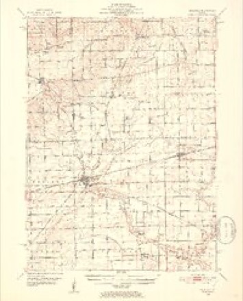
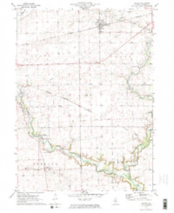
9 topographic sheets cover this place, the earliest surveyed in 1951 and the latest in 1985. It stands in Freedom Township. It lies in ZIP code area 60518. The Survey maps it on the Leland quadrangle.
Topographic sheets covering this place
5 surveys from 9 printed sheetsMatched by testing this settlement's coordinate against the published boundary of every sheet in the United States Geological Survey's historical collection. Each opens the scanned sheet at the Survey.
- 1951 USGS Earlville quadrangle1:62500, 2 printings
- 1958 USGS Aurora quadrangle1:250000, 3 printings
- 1961 USGS Aurora quadrangle1:250000
- 1971 USGS Leland quadrangle1:24000, 2 printings
- 1985 USGS Aurora quadrangle1:100000



In the county-history sources
2,052 words on this townshipHistory of LaSalle County, Illinois : Its Topography, Geology, Botany, Natural History, History of the Mound Builders, Indian Tribes, French Explorations, and a Sketch of the Pioneer Settlers of Each Town to 1840, with an Appendix, Giving the Present Status of the County, Its Population, Resources, Manufactures and Institutions, published 1877 names this settlement in its chapter on Freedom Township. These are the passages that mention it, exactly as the scans read.
Ethan Z. Allen, and wife, Lydia Marsh, came from Tinmouth, Rutland County, Vt., in 1834; he settled on Section 13. He held the office of Ju » of the Peace for t five years, when he resigned in 1875. He has six children: Eliza Ann, married Edward Hall, she died in 1867; George, married Martha Larkin, in Towa; Milo, at home; Minerva, ma d Richard Martin, of Freedom; Lncetta, married Newton Davis, in Harding.
Hiram Harding, and wife, from Wyoming, Pa., came in 1888, and settled on Sec. 14. He and his wife are both dead, His children are; Mary, who married Mr. Rice, is now dead ; Charles, died single ; Ruth, married H. Worcester ; Park, died ; John, lives at Paw Paw; Christine, married Mr. Goble, and was killed by the fall of the Dixon bridge.
Rev. Charles Harding, from Lucas County, Pa., came in 1840. He was a Baptist clergyman, and organized the church at Harding, and preached, alternately, there and at Paw Paw. He died in 1843, His widow married Hiram Olmstead. He left one child, Almira, who married Ashbel Faller.
Machine-read from a century-old scan, so expect the errors a machine makes: misspelled names, dropped words, stray characters.
Storms near this place
1 since 2013Regional context, not property-specific evidence. The National Weather Service names Harding in 1 storm report in 2013: 1 thunderstorm wind. No death or injury is recorded in these reports. Each account below is quoted exactly as the forecast office filed it, from the NOAA Storm Events Database, and each date opens the federal record of that event.
| When | Event | Place named | Harm | What the report says |
|---|---|---|---|---|
| August 2013 | Thunderstorm Wind | Harding | - | Trees and crops were damaged near the intersection of Route 52 and Route 23. |
Nearest settlements
The eight closest, with where each one stands in the county. Distances are straight-line, computed from the Geographic Names Information System coordinates.
| Map | Place | Distance | Sheets |
|---|---|---|---|
| Munson (historical) | 0.8 miles | 9 | |
| Freedom Centre (historical) | 2.7 miles | 25 | |
| Baker | 3.5 miles | 9 | |
| Prairie Center | 5.5 miles | 25 | |
| Earlville | 6.4 miles | 8 | |
| Blakes | 6.4 miles | 26 | |
| Serena | 6.6 miles | 16 | |
| Wedron | 6.8 miles | 26 |
Provenance
This settlement is recorded in the Geographic Names Information System as feature 409771. The sheet list is computed by point-in-boundary test against the United States Geological Survey's historical topographic inventory. Both are works of the United States government and carry no copyright under 17 U.S.C. 105.
Storms. NOAA National Centers for Environmental Information, Storm Events Database https://www.ncei.noaa.gov/stormevents/ A work of the United States government, no copyright under 17 U.S.C. 105. Narratives are quoted verbatim from the National Weather Service report and are not edited or summarised.