 Block
Munson, Illinois
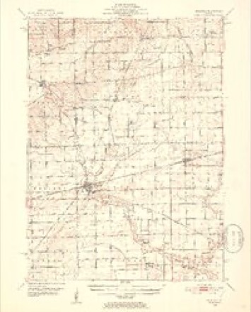
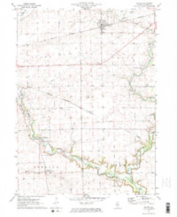
9 topographic sheets cover this place, the earliest surveyed in 1951 and the latest in 1985. It stands in Freedom Township. It lies in ZIP code area 60518. The Survey maps it on the Leland quadrangle. The federal gazetteer marks this settlement historical: it is no longer a populated place, though the surveys that recorded it still are.
Topographic sheets covering this place
5 surveys from 9 printed sheetsMatched by testing this settlement's coordinate against the published boundary of every sheet in the United States Geological Survey's historical collection. Each opens the scanned sheet at the Survey.
- 1951 USGS Earlville quadrangle1:62500, 2 printings
- 1958 USGS Aurora quadrangle1:250000, 3 printings
- 1961 USGS Aurora quadrangle1:250000
- 1971 USGS Leland quadrangle1:24000, 2 printings
- 1985 USGS Aurora quadrangle1:100000



In the county-history sources
2,052 words on this townshipHistory of LaSalle County, Illinois : Its Topography, Geology, Botany, Natural History, History of the Mound Builders, Indian Tribes, French Explorations, and a Sketch of the Pioneer Settlers of Each Town to 1840, with an Appendix, Giving the Present Status of the County, Its Population, Resources, Manufactures and Institutions, published 1877 names this settlement in its chapter on Freedom Township. These are the passages that mention it, exactly as the scans read.
William Munson has recently erected a fine marble monument at the grave, where the fifteen victims were buried, Tt is in view of the pablic road, leading from Freedom to Earl, on the northeast side of the creek, and as the white column meets the view, the traveler will instinctively heave a sigh of sympathy for the tragic fate of the firat pioneers. The inscriptions are as follows:
William Munson came from Indiana to Putnam County, and from there here in 1838 ; he purchased the farm, owned by William Hall at the time he was killed by the Indians, on Section 1. He married Rachel Hall, who was taken away prisoner by the Sank Indians, May 20, 1832. In 1837 he Inid ont the town of Munson, which has hardly realized the expectations o| founder. His wife died May 1, 1870, Mr, Munson still occupies the farm where he has spent the most.of his life. He has four ighters and three sons; Trena, married Dr. Geo, Vance; Miranda, married Samnel Dunnavan, of idelia, married George Shaver, of Rut land; Phebe, married John Reed, of Ottawa; William, married Delia Shaver; Lewis and Elliott, at home,
Machine-read from a century-old scan, so expect the errors a machine makes: misspelled names, dropped words, stray characters.
Read the whole chapter on Freedom Township - it names this place 2 more 2 times.
Nearest settlements
The eight closest, with where each one stands in the county. Distances are straight-line, computed from the Geographic Names Information System coordinates.
| Map | Place | Distance | Sheets |
|---|---|---|---|
| Harding | 0.8 miles | 9 | |
| Baker | 3.0 miles | 9 | |
| Freedom Centre (historical) | 3.2 miles | 25 | |
| Earlville | 5.7 miles | 8 | |
| Prairie Center | 5.9 miles | 25 | |
| Leland | 6.6 miles | 9 | |
| Serena | 7.0 miles | 16 | |
| Blakes | 7.1 miles | 26 |
Provenance
This settlement is recorded in the Geographic Names Information System as feature 1816096. The sheet list is computed by point-in-boundary test against the United States Geological Survey's historical topographic inventory. Both are works of the United States government and carry no copyright under 17 U.S.C. 105.