 Block
Hebron, Illinois
17 topographic sheets cover this place, the earliest surveyed in 1926 and the latest in 1992. It stands in Hebron Township. It lies in ZIP code area 60034. The Survey maps it on the Hebron quadrangle. 1,368 people lived here at the 2020 count. It stands 929 feet above sea level.
Population over time
2 figuresHebron grew from 1,216 to 1,368 between 2010 and 2020. These are the recorded population figures Wikidata holds for this place, reached through the Geographic Names Information System number this page is keyed on rather than by name, so they belong to this place and not to another of the same name. Most are census counts, but not all are: an early figure may be a founding or settlement estimate, and an estimate published within five years of a census is left out. The change column is computed, and is left blank where more than 20 years separate a figure from the one before it, because a gap that long is not a change between two counts.
| Year | People | Change |
|---|---|---|
| 2010 | 1,216 | |
| 2020 | 1,368 | +152 (+12%) |
Topographic sheets covering this place
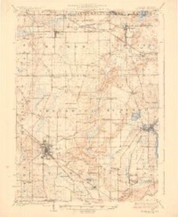
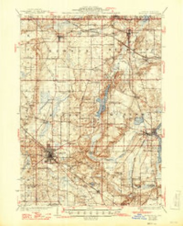
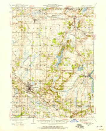
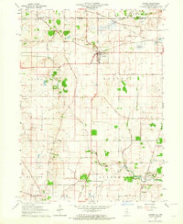
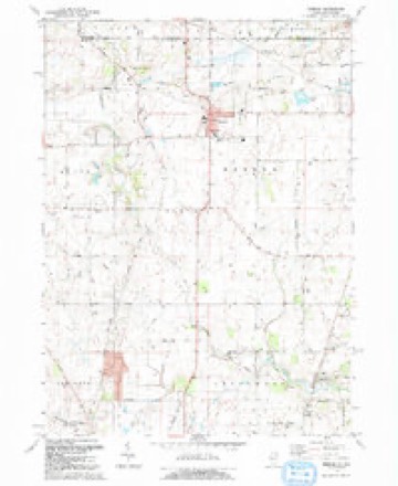
10 surveys from 17 printed sheetsMatched by testing this settlement's coordinate against the published boundary of every sheet in the United States Geological Survey's historical collection. Each opens the scanned sheet at the Survey.
- 1926 USGS Mc Henry quadrangle1:62500
- 1926 USGS McHenry quadrangle1:62500, 2 printings
- 1944 USGS McHenry quadrangle1:62500, 2 printings
- 1954 USGS Rockford quadrangle1:250000
- 1955 USGS Rockford quadrangle1:250000
- 1958 USGS Rockford quadrangle1:250000, 4 printings
- 1963 USGS Hebron quadrangle1:24000, 2 printings
- 1963 USGS Rockford quadrangle1:250000
- 1981 USGS Elgin quadrangle1:100000
- 1992 USGS Hebron quadrangle1:24000, 2 printings





In the county-history sources
11,150 words on this townshipHistory of McHenry County, Illinois : Together with Sketches of Its Cities, Villages and Towns : Educational, Religious, Civil, Military, and Political History : Portraits of Prominent Persons, and Biographies of Representative Citizens, Also a Condensed History of Illinois .., published 1885 names this settlement in its chapter on Hebron Township. These are the passages that mention it, exactly as the scans read.
While the naming of other townships has been ascribed to men this one Dears the honor of being named by a woman. Mrs. Bela H. Tryon, the first white woman who ever resided in the township, is said to have given the township its name, under circumstances something as follows: It always being customary in new countries for everybody to flock down to one house on Sunday, the young men and old bachelors who comprised the inhabitants of Hebron chiefly in an early day found it pleasant to meet at the residence of Mr. Tryon, for there was a woman, and a woman always makes a place seem more like home, and, besides, her willing hands were ever ready to stitch up a rent or sew on a button, and frequently she treated her visitors to a well-cooked dinner - something they seldom got at home, for, as a rule, bachelors are poor cooks. It was customary with these visitors at the Tryon house to engage in singing songs, and frequently they continued at this pleasurable exercise till the curtains of night had long been let down. Upon one of these occasions, while all hands were heartily singing the tune old "Hebron," Mrs. Tryon said, "That is my choice of all tunes, and I think the name Hebron would make a good name for our township." The idea was one favorably accepted by all, and at an early date a meeting was held at Mr. Tryon's house for the purpose of christening the township, upon which occasion it is said Mrs. Tryon distinguished herself by frying over a bushel of cakes, which were so palatable that they were taken by the guests directly from the skillet and eaten - each fellow helping himself. and scarcely giving his neighbor a chance.
Passage source: History of McHenry County, Illinois : Together with Sketches of Its Cities, Villages and Towns : Educational, Religious, Civil, Military, and Political History : Portraits of Prominent Persons, and Biographies of Representative Citizens, Also a Condensed History of Illinois .., published 1885.
This township was settled in 1836, E. W. Brigham being the first man to take up a claim and build the first log house. He came from Yermont, and still resides in the township. Josiah H. Giddings also came from Yermont, and still resides in Hebron. He erected the first frame building in the township, which still serves as a part of his residence. Bela H. Tryon came from New York State also in 1836 and resided in the township till his death, in 1848. R. W. Stewart came from New York and made Hebron his home till his death, in 1876. A. H. Parker also came from New York, and after living in Hebron many years moved to "Woodstock, where he died in 1880. John Sawyer came from Washington County, N. Y., and is still a resident of Hebron. G. W. Giddings, C. S. and John Adams also came in 1836.
Passage source: History of McHenry County, Illinois : Together with Sketches of Its Cities, Villages and Towns : Educational, Religious, Civil, Military, and Political History : Portraits of Prominent Persons, and Biographies of Representative Citizens, Also a Condensed History of Illinois .., published 1885.
The first birth was Mary Roblee. She is still living, and resides in the pine regions of Wisconsin. First death was Arabel Hihbard ; she died at the age of eighteen months, in September) 1842. She was a daughter of William and Julia Hibbard, who afterward moved to Wisconsin, where they both died. First marriage in Hebron, as found on the county records, was that of George C. Hopkins and Miss Eebecca Tuttle, Sept. 7, 1840 - ceremony performed by Rev. Samuel Hall. The first school was taught by Miss Emily Adams, in the chamber of John Adams's house, in 1844. Her school consisted of three scholars. The first school-house was a log building, located on section 10. It was built in 1845, and served as a school-house for nearly twenty years.
Passage source: History of McHenry County, Illinois : Together with Sketches of Its Cities, Villages and Towns : Educational, Religious, Civil, Military, and Political History : Portraits of Prominent Persons, and Biographies of Representative Citizens, Also a Condensed History of Illinois .., published 1885.
Machine-read from a century-old scan, so expect the errors a machine makes: misspelled names, dropped words, stray characters.
Read the whole chapter on Hebron Township - it names this place 35 more 35 times.
Fires near this place
6 since 2018Regional context, not property-specific evidence. The federal wildfire occurrence database lists 6 fires within 5 miles of Hebron in 2018, burning about 39 acres in total. None started naturally. None was recorded as arson. Distance is straight-line from the map coordinates, so a fire counted here may appear on a neighbouring settlement's page as well.
| Reported cause | Fires |
|---|---|
| Debris and open burning | 4 |
| Missing data/not specified/undetermined | 2 |
The most recent of them, most recent first, with the day each was reported and the service that recorded it.
| Date | Cause | Size | Reported by | Name on the report |
|---|---|---|---|---|
| 7 May 2018 | Missing data/not specified/undetermined | 2.0 acres | Illinois Division of Forestry Resources | 18-165 |
| 29 April 2018 | Missing data/not specified/undetermined | 3.0 acres | Illinois Division of Forestry Resources | 18-152 |
| 22 April 2018 | Debris and open burning | under an acre | Illinois Division of Forestry Resources | 18-145 |
| 18 March 2018 | Debris and open burning | 3.0 acres | Illinois Division of Forestry Resources | 18-096 |
| 18 March 2018 | Debris and open burning | 30 acres | Wisconsin Department of Natural Resources | 55 |
| 22 October 2018 | Debris and open burning | under an acre | Illinois Division of Forestry Resources | 18-0364 |
Settlements close enough to share some of these fires:
Mines and quarries near this place
1 within 5 milesRegional context, not property-specific evidence. The federal mineral resources record lists 1 working within 5 miles of Hebron: 1 past producer. None of them still produces. What was taken out: Sand and Gravel, Construction. Distance is straight-line from the map coordinates, so a quarry counted here may appear on a neighbouring settlement's page as well.
| Where | Site | Commodity | Status | Recorded |
|---|---|---|---|---|
| Casey Pit | Sand and Gravel, Construction | Past Producer |
Storms near this place
13 since 1996Regional context, not property-specific evidence. The National Weather Service names Hebron in 13 storm reports between 1996 and 2025: 13 thunderstorm wind. No death or injury is recorded in these reports. Each account below is quoted exactly as the forecast office filed it, from the NOAA Storm Events Database, and each date opens the federal record of that event.
| When | Event | Place named | Harm | What the report says |
|---|---|---|---|---|
| March 2025 | Thunderstorm Wind | Hebron | - | A trained spotter reported 6 power poles down at SR 173 and Price Rd in Hebron. |
| March 2025 | Thunderstorm Wind | Hebron | - | Part of a roof was blown off of a pole barn along Button Rd northeast of Hebron. |
| May 2024 | Thunderstorm Wind | Hebron | - | Large tree limbs were blown down near Route 47 and Vanderkarr Road, which were impassable by cars. |
| June 2024 | Thunderstorm Wind | Hebron | - | Numerous trees were reported down in Hebron. |
| October 2022 | Thunderstorm Wind | Hebron | - | A utility pole was blown down. |
| October 2022 | Thunderstorm Wind | Hebron | - | A one to two foot diameter tree limb was snapped. |
| July 2021 | Thunderstorm Wind | Hebron | - | Wind gusts were estimated to 60 mph just south of Hebron. |
| July 2020 | Thunderstorm Wind | Hebron | - | A 5 foot diameter tree was blown down, which brought down power lines and a utility pole. The tree was described as rotted. |
| July 2012 | Thunderstorm Wind | Hebron | - | A 4 to 6 inch diameter tree was blown down on Route 173, just east of Hebron. |
| May 2011 | Thunderstorm Wind | Hebron | - | Small tree limbs and a traffic sign were blown down. |
| June 2010 | Thunderstorm Wind | Hebron | - | Trees were blown down blocking roads. |
| January 2008 | Thunderstorm Wind | Hebron | - | no account filed |
| April 1996 | Thunderstorm Wind | Hebron | - | no account filed |
Nearest settlements
The eight closest, with where each one stands in the county. Distances are straight-line, computed from the Geographic Names Information System coordinates.
| Map | Place | Distance | Sheets |
|---|---|---|---|
| Armsby (historical) | 1.1 miles | 17 | |
| Belden | 4.5 miles | 17 | |
| Alden | 4.6 miles | 15 | |
| Barnard Mill (historical) | 5.3 miles | 17 | |
| Greenwood | 5.9 miles | 17 | |
| Richmond | 6.7 miles | 17 | |
| Sunrise Ridge | 7.3 miles | 17 | |
| Wonder Center | 7.4 miles | 17 |
Elsewhere
Matched on this settlement's Geographic Names Information System number rather than its name, so it cannot be a different place of the same name in another state.
| Wikipedia article on Hebron | An encyclopaedic summary. Its text is share-alike, so it is linked here rather than copied. |
| Wikidata item Q2155823 | The structured record the population and elevation above come from. Public domain (CC0). |
Provenance
This settlement is recorded in the Geographic Names Information System as feature 410012. The sheet list is computed by point-in-boundary test against the United States Geological Survey's historical topographic inventory. Both are works of the United States government and carry no copyright under 17 U.S.C. 105.
Wildfire. Short, Karen C. 2022. Spatial wildfire occurrence data for the United States, 1992-2020 [FPA_FOD_20221014]. 6th Edition. Fort Collins, CO: Forest Service Research Data Archive. https://doi.org/10.2737/RDS-2013-0009.6 Collected with United States Government funding and usable without additional permissions or fees.
Mines and quarries. USGS Mineral Resources Data System (MRDS) https://mrdata.usgs.gov/mrds/ A work of the United States government, no copyright under 17 U.S.C. 105.
Storms. NOAA National Centers for Environmental Information, Storm Events Database https://www.ncei.noaa.gov/stormevents/ A work of the United States government, no copyright under 17 U.S.C. 105. Narratives are quoted verbatim from the National Weather Service report and are not edited or summarised.