 Block
Alden, Illinois
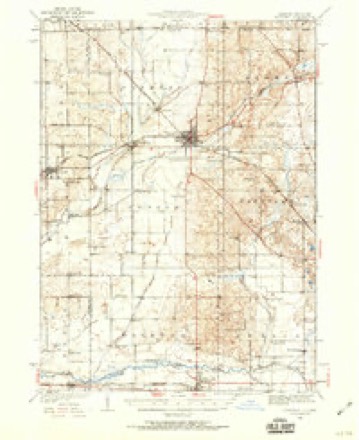
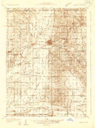
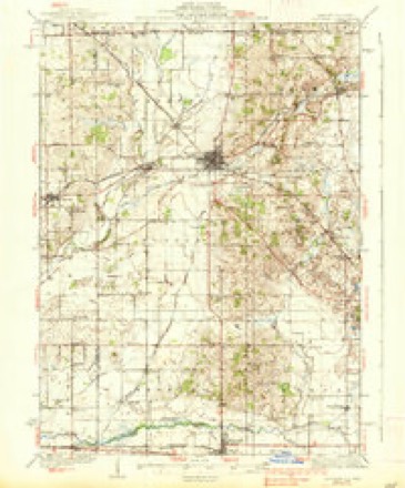
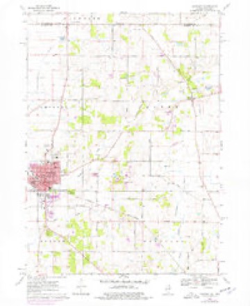
15 topographic sheets cover this place, the earliest surveyed in 1932 and the latest in 1981. It stands in Alden Township. It lies in ZIP code area 60033. The Survey maps it on the Harvard quadrangle.
Topographic sheets covering this place
9 surveys from 15 printed sheetsMatched by testing this settlement's coordinate against the published boundary of every sheet in the United States Geological Survey's historical collection. Each opens the scanned sheet at the Survey.
- 1932 USGS Harvard quadrangle1:62500, 2 printings
- 1932 USGS Harvard quadrangle1:48000
- 1937 USGS Harvard quadrangle1:62500, 2 printings
- 1954 USGS Rockford quadrangle1:250000
- 1955 USGS Rockford quadrangle1:250000
- 1958 USGS Rockford quadrangle1:250000, 4 printings
- 1963 USGS Rockford quadrangle1:250000
- 1970 USGS Harvard quadrangle1:24000, 2 printings
- 1981 USGS Elgin quadrangle1:100000





In the county-history sources
6,880 words on this townshipHistory of McHenry County, Illinois : Together with Sketches of Its Cities, Villages and Towns : Educational, Religious, Civil, Military, and Political History : Portraits of Prominent Persons, and Biographies of Representative Citizens, Also a Condensed History of Illinois .., published 1885 names this settlement in its chapter on Alden Township. These are the passages that mention it, exactly as the scans read.
This township was not named for some time after the first settlers came in. The postoffice was called Wedgwood for a short time, when it was discovered that another postoffice by the same name was already established in the State. It was then changed to Alden by the Wards, Bordwells and Bennetts, who came from Alden, N. Y. When the township was christened, some time afterward, it received the same name.
Passage source: History of McHenry County, Illinois : Together with Sketches of Its Cities, Villages and Towns : Educational, Religious, Civil, Military, and Political History : Portraits of Prominent Persons, and Biographies of Representative Citizens, Also a Condensed History of Illinois .., published 1885.
Nathan and Darius Disbrow were the first men who settled in this township; they came in the fall of 1836, and erected their dwellings the following spring. They settled on section 15, where the village of Alden is now situated. They came from New York State. Darius made Alden Township his home only about five years, when he moved to Milwaukee, where he died in 1849. Nathaniel is still a resident of the township, about three-quarters of a mile south of Alden Village.
Passage source: History of McHenry County, Illinois : Together with Sketches of Its Cities, Villages and Towns : Educational, Religious, Civil, Military, and Political History : Portraits of Prominent Persons, and Biographies of Representative Citizens, Also a Condensed History of Illinois .., published 1885.
Next came into the township Miles Booty, an Englishman, from Canada. He located on what is known now as the Capron farm, east of Alden Village one and a half miles. He came in the summer of 1837, and remained in the township till about the year 1841, when he moved to Woodstock, where he engaged in business a short time, and then moved West.
Passage source: History of McHenry County, Illinois : Together with Sketches of Its Cities, Villages and Towns : Educational, Religious, Civil, Military, and Political History : Portraits of Prominent Persons, and Biographies of Representative Citizens, Also a Condensed History of Illinois .., published 1885.
Machine-read from a century-old scan, so expect the errors a machine makes: misspelled names, dropped words, stray characters.
Read the whole chapter on Alden Township - it names this place 29 more 29 times.
Fires near this place
6 since 2015Regional context, not property-specific evidence. The federal wildfire occurrence database lists 6 fires within 5 miles of Alden between 2015 and 2018, burning about 40 acres in total. None started naturally. None was recorded as arson. Distance is straight-line from the map coordinates, so a fire counted here may appear on a neighbouring settlement's page as well.
| Reported cause | Fires |
|---|---|
| Debris and open burning | 3 |
| Missing data/not specified/undetermined | 2 |
| Equipment and vehicle use | 1 |
The most recent of them, most recent first, with the day each was reported and the service that recorded it.
| Date | Cause | Size | Reported by | Name on the report |
|---|---|---|---|---|
| 7 May 2018 | Missing data/not specified/undetermined | 2.0 acres | Illinois Division of Forestry Resources | 18-165 |
| 29 April 2018 | Missing data/not specified/undetermined | 3.0 acres | Illinois Division of Forestry Resources | 18-152 |
| 26 April 2015 | Debris and open burning | 1.0 acres | Illinois Division of Forestry Resources | 15-245 |
| 31 March 2015 | Debris and open burning | 4.0 acres | Illinois Division of Forestry Resources | 15-265 |
| 18 March 2018 | Debris and open burning | 30 acres | Wisconsin Department of Natural Resources | 55 |
| 18 March 2018 | Equipment and vehicle use | under an acre | Wisconsin Department of Natural Resources | 56 |
Settlements close enough to share some of these fires:
Mines and quarries near this place
3 within 5 milesRegional context, not property-specific evidence. The federal mineral resources record lists 3 workings within 5 miles of Alden: 2 past producers, 1 producer. 1 still produces. What was taken out: Sand and Gravel, Construction. Distance is straight-line from the map coordinates, so a quarry counted here may appear on a neighbouring settlement's page as well.
| Where | Site | Commodity | Status | Recorded |
|---|---|---|---|---|
| Anderson Pit | Sand and Gravel, Construction | Producer | ||
| Cole Pit | Sand and Gravel, Construction | Past Producer | ||
| Jacobs Pit | Sand and Gravel, Construction | Past Producer |
Storms near this place
5 since 2010Regional context, not property-specific evidence. The National Weather Service names Alden in 5 storm reports between 2010 and 2026: 3 thunderstorm wind, 1 tornado, 1 flood. No death or injury is recorded in these reports. Each account below is quoted exactly as the forecast office filed it, from the NOAA Storm Events Database, and each date opens the federal record of that event.
| When | Event | Place named | Harm | What the report says |
|---|---|---|---|---|
| June 2010 | Thunderstorm Wind | Alden | $1,000 | Trees and power lines were blown down with trees blocking some roads. |
| April 2026 | Flood | Alden | - | Standing water was reported on IL-173 near Oak Grove Rd in Alden. |
| August 2024 | Thunderstorm Wind | Alden | - | Power poles were downed along Thayer Road between Alden and Johnson Roads east of Harvard. |
| July 2015 | Tornado (EF0) | Alden | - | Spotters reported a brief tornado. No damage occurred. |
| April 2026 | Thunderstorm Wind | Alden | - | no account filed |
Nearest settlements
The eight closest, with where each one stands in the county. Distances are straight-line, computed from the Geographic Names Information System coordinates.
| Map | Place | Distance | Sheets |
|---|---|---|---|
| Hebron | 4.6 miles | 17 | |
| Big Foot Prairie | 5.0 miles | 15 | |
| Harvard | 5.7 miles | 15 | |
| Armsby (historical) | 5.7 miles | 17 | |
| Hartland | 6.6 miles | 15 | |
| Lawrence | 6.7 miles | 16 | |
| Greenwood | 8.2 miles | 17 | |
| Chemung | 8.4 miles | 16 |
Provenance
This settlement is recorded in the Geographic Names Information System as feature 403385. The sheet list is computed by point-in-boundary test against the United States Geological Survey's historical topographic inventory. Both are works of the United States government and carry no copyright under 17 U.S.C. 105.
Wildfire. Short, Karen C. 2022. Spatial wildfire occurrence data for the United States, 1992-2020 [FPA_FOD_20221014]. 6th Edition. Fort Collins, CO: Forest Service Research Data Archive. https://doi.org/10.2737/RDS-2013-0009.6 Collected with United States Government funding and usable without additional permissions or fees.
Mines and quarries. USGS Mineral Resources Data System (MRDS) https://mrdata.usgs.gov/mrds/ A work of the United States government, no copyright under 17 U.S.C. 105.
Storms. NOAA National Centers for Environmental Information, Storm Events Database https://www.ncei.noaa.gov/stormevents/ A work of the United States government, no copyright under 17 U.S.C. 105. Narratives are quoted verbatim from the National Weather Service report and are not edited or summarised.