 Block
Hutsonville, Illinois
14 topographic sheets cover this place, the earliest surveyed in 1953 and the latest in 1986. It stands in Hutsonville Township. It lies in ZIP code area 62433. It stands on Hutson Creek. The Survey maps it on the Hutsonville quadrangle. 478 people lived here at the 2020 count. It stands 436 feet above sea level.
Population over time
2 figuresHutsonville fell from 554 to 478 between 2010 and 2020. These are the recorded population figures Wikidata holds for this place, reached through the Geographic Names Information System number this page is keyed on rather than by name, so they belong to this place and not to another of the same name. Most are census counts, but not all are: an early figure may be a founding or settlement estimate, and an estimate published within five years of a census is left out. The change column is computed, and is left blank where more than 20 years separate a figure from the one before it, because a gap that long is not a change between two counts.
| Year | People | Change |
|---|---|---|
| 2010 | 554 | |
| 2020 | 478 | -76 (-14%) |
Topographic sheets covering this place
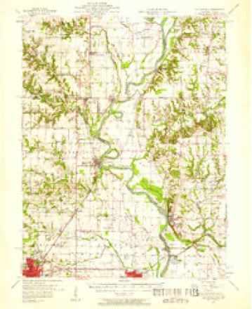
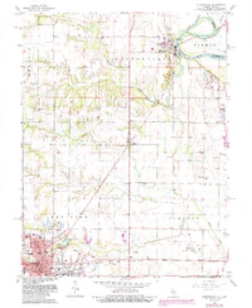
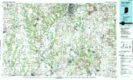
7 surveys from 14 printed sheetsMatched by testing this settlement's coordinate against the published boundary of every sheet in the United States Geological Survey's historical collection. Each opens the scanned sheet at the Survey.
- 1953 USGS Indianapolis quadrangle1:250000, 4 printings
- 1956 USGS Indianapolis quadrangle1:250000
- 1957 USGS Hutsonville quadrangle1:62500, 2 printings
- 1957 USGS Indianapolis quadrangle1:250000, 2 printings
- 1962 USGS Indianapolis quadrangle1:250000
- 1966 USGS Hutsonville quadrangle1:24000, 2 printings
- 1986 USGS Terre Haute quadrangle1:100000, 2 printings




In the county-history sources
546 words on this townshipILLINOIS HISTORICAL CRAWFORD COUNTY, published 1909 names this settlement in its chapter on Hutsonville Township. These are the passages that mention it, exactly as the scans read.
This township, one of the most productive farming divisions of Crawford County, lies along. its eastern boundary of the county, with Clark County on the north, Lamotte and Robinson Townships on the south, the Wabash. River on the east, and Licking Township to the west. The Wabash furnishes its drainage, mainly through Raccoon and Hutson Creeks, and a portion of its area is liable to periodical overflows. Back from the Wabash the surface is somewhat undulating, varied by stretches of open prairie and patches of timber. Black walnut, oak, sugar maple, white walnut, elm, cottonwood, sycamore, buckeye, hackberry, pecan, hickory, etc., constituted the original timber growth. Its industries are mostly agricultural, and some of the farms are quite extensive, the only detriment to profitable soil-tilling being from the hazard of inundation in the depressed areas within its borders. The first white settlers in what is now Hutsonville Township, of which there is any reliable record, were the members of the Hutson family, all of whom, except its head, were massacred by the Indians during the War of 1812. The mother and four children fell victims to a savage onslaught on their log cabin outside of the fort. during the absence of the father, who was afterwards killed in a skirmish with another band of redskins. Hutson had refused to remove his family to the stockade where most of the pioneers had taken refuge.
Passage source: ILLINOIS HISTORICAL CRAWFORD COUNTY, published 1909.
Lindley, Malin Voorhees and Aaron Bell were among the notable arrivals between 1818 and 1821, the first two coming from New Jersey and the last from Virginia, making the journey in a three-horse wagon. In 1826 came Nathan Musgrave, a North Carolina Quaker, together with Mrs. Zylpha Cox, a widow, and her son William, John R. Hurst, Benjamin Dunn, A. B. Raines, Joseph Green and James Boswell. William, Cox was the first man to open a store in Hutsonvile. John R. Hurst and his faithful wife continued to live until sometime in the '80s. The Gyers, a Quaker family from North Carolina, settled near what is now Hutsonville about the year 1826, the father. Aaron Gyer, dying in 1840, and another early settler was Bryant Cox, who arrived from the same State on June 1, 1881. All were men of sturdy habits and resolute character, anl lived arduous lives, confronting the perils of the wilderness, which abounded in wild beasts, clearing spaces for habitations and tillage and, in course of time, the children recited their lessons to the subscription teacher.
Passage source: ILLINOIS HISTORICAL CRAWFORD COUNTY, published 1909.
Machine-read from a century-old scan, so expect the errors a machine makes: misspelled names, dropped words, stray characters.
Mines and quarries near this place
6 within 5 milesRegional context, not property-specific evidence. The federal mineral resources record lists 6 workings within 5 miles of Hutsonville: 4 producers, 2 past producers. 4 still produce. What was taken out: Sand and Gravel, Construction. Distance is straight-line from the map coordinates, so a quarry counted here may appear on a neighbouring settlement's page as well.
| Where | Site | Commodity | Status | Recorded |
|---|---|---|---|---|
| Abram and Hawkins Pit | Sand and Gravel, Construction | Producer | ||
| Crawford S & G East Dredge | Sand and Gravel, Construction | Past Producer | ||
| Crawford S & G South Dredge | Sand and Gravel, Construction | Past Producer | ||
| Graysville Pit | Sand and Gravel, Construction | Producer | ||
| Lawrence Gravel #2 | Sand and Gravel, Construction | Producer | ||
| Turner Dredge | Sand and Gravel, Construction | Producer |
Storms near this place
9 since 1998Regional context, not property-specific evidence. The National Weather Service names Hutsonville in 9 storm reports between 1998 and 2016: 5 thunderstorm wind, 3 hail, 1 flash flood. No death or injury is recorded in these reports. Each account below is quoted exactly as the forecast office filed it, from the NOAA Storm Events Database, and each date opens the federal record of that event.
| When | Event | Place named | Harm | What the report says |
|---|---|---|---|---|
| August 2009 | Thunderstorm Wind | Hutsonville | $75,000 | Numerous tree limbs were blown down across Hutsonville. In addition...roof, siding, and awning damage was reported to around a dozen homes. |
| June 2016 | Thunderstorm Wind | Hutsonville | $65,000 | Numerous power poles were snapped about 3 miles northwest of Hutsonville. |
| June 2016 | Thunderstorm Wind | Hutsonville | $25,000 | Numerous trees were blown down in Hutsonville. |
| January 2008 | Thunderstorm Wind | Hutsonville | $12,000 | Several trees and power lines were blown down between Hutsonville and Robinson. |
| September 2009 | Flash Flood | Hutsonville | - | Rainfall amounts of 4.00 to 5.00 inches in eastern Crawford County resulted in the flooding of numerous roads. Illinois Route 33 between Palestine and Heathsville was inundated with flowing water and impassible in spots. |
| May 1998 | Thunderstorm Wind | Hutsonville | - | Thunderstorm winds blew down over a dozen trees three miles north of Hutsonville. No injuries were reported. |
| March 2012 | Hail | Hutsonville | - | no account filed |
| April 2011 | Hail | Hutsonville | - | no account filed |
| May 1998 | Hail | Hutsonville | - | no account filed |
Nearest settlements
The eight closest, with where each one stands in the county. Distances are straight-line, computed from the Geographic Names Information System coordinates.
| Map | Place | Distance | Sheets |
|---|---|---|---|
| Trimble | 3.5 miles | 14 | |
| West York | 4.4 miles | 14 | |
| Gordon | 7.2 miles | 14 | |
| Palestine | 7.7 miles | 20 | |
| Porterville | 7.8 miles | 14 | |
| Robinson | 8.4 miles | 14 | |
| Annapolis | 8.8 miles | 14 | |
| Duncanville | 10.9 miles | 13 |
Elsewhere
Matched on this settlement's Geographic Names Information System number rather than its name, so it cannot be a different place of the same name in another state.
| Wikipedia article on Hutsonville | An encyclopaedic summary. Its text is share-alike, so it is linked here rather than copied. |
| Wikidata item Q2554041 | The structured record the population and elevation above come from. Public domain (CC0). |
Provenance
This settlement is recorded in the Geographic Names Information System as feature 410735. The sheet list is computed by point-in-boundary test against the United States Geological Survey's historical topographic inventory. Both are works of the United States government and carry no copyright under 17 U.S.C. 105.
Mines and quarries. USGS Mineral Resources Data System (MRDS) https://mrdata.usgs.gov/mrds/ A work of the United States government, no copyright under 17 U.S.C. 105.
Storms. NOAA National Centers for Environmental Information, Storm Events Database https://www.ncei.noaa.gov/stormevents/ A work of the United States government, no copyright under 17 U.S.C. 105. Narratives are quoted verbatim from the National Weather Service report and are not edited or summarised.