 Block
Palestine, Illinois
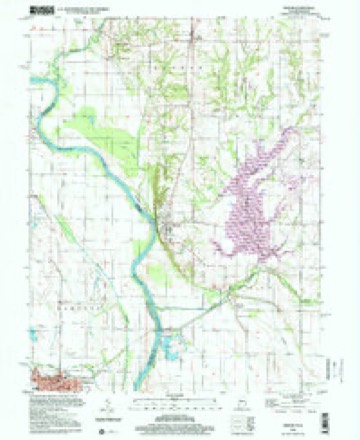
20 topographic sheets cover this place, the earliest surveyed in 1943 and the latest in 1998. It stands in Lamotte Township. It lies in ZIP code area 62451. The Survey maps it on the Merom quadrangle. 1,233 people lived here at the 2020 count.
On record in Palestine
Buildings and businesses the archive holds for this place. Each opens its own page, with the source record it came from.
On the National Register 3 records
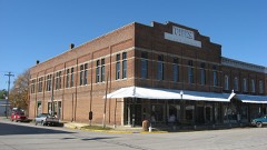 Fife Opera Houselisted 1990
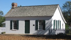 John B. Harper Houselisted 2004
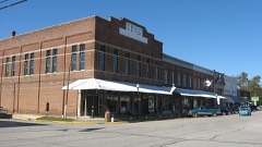 Palestine Commercial Historic Districtlisted 1995
Population over time
2 figuresPalestine fell from 1,369 to 1,233 between 2010 and 2020. These are the recorded population figures Wikidata holds for this place, reached through the Geographic Names Information System number this page is keyed on rather than by name, so they belong to this place and not to another of the same name. Most are census counts, but not all are: an early figure may be a founding or settlement estimate, and an estimate published within five years of a census is left out. The change column is computed, and is left blank where more than 20 years separate a figure from the one before it, because a gap that long is not a change between two counts.
| Year | People | Change |
|---|---|---|
| 2010 | 1,369 | |
| 2020 | 1,233 | -136 (-10%) |
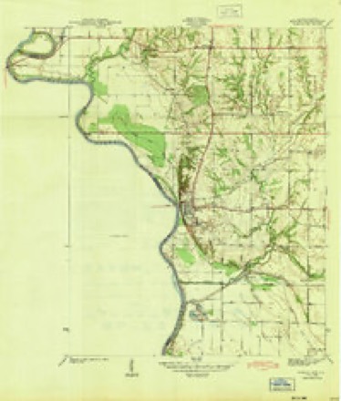
Topographic sheets covering this place
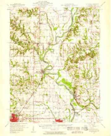
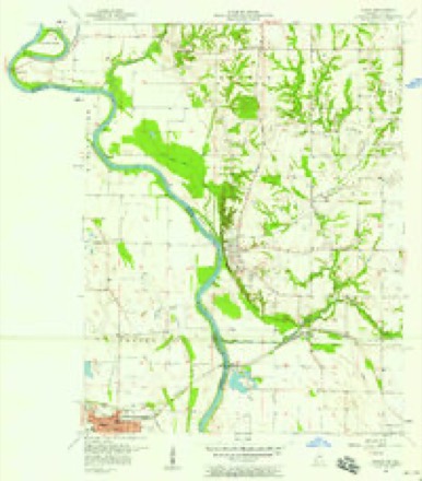
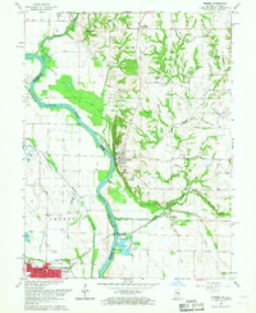
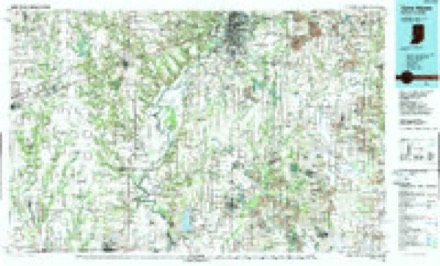
10 surveys from 20 printed sheetsMatched by testing this settlement's coordinate against the published boundary of every sheet in the United States Geological Survey's historical collection. Each opens the scanned sheet at the Survey.
- 1943 USGS Merom quadrangle1:24000, 2 printings
- 1953 USGS Indianapolis quadrangle1:250000, 4 printings
- 1956 USGS Indianapolis quadrangle1:250000
- 1957 USGS Hutsonville quadrangle1:62500, 2 printings
- 1957 USGS Indianapolis quadrangle1:250000, 2 printings
- 1957 USGS Merom quadrangle1:24000
- 1962 USGS Indianapolis quadrangle1:250000
- 1966 USGS Merom quadrangle1:24000, 4 printings
- 1986 USGS Terre Haute quadrangle1:100000, 2 printings
- 1998 USGS Merom quadrangle1:24000




In the county-history sources
364 words on this townshipILLINOIS HISTORICAL CRAWFORD COUNTY, published 1909 names this settlement in its chapter on Lamotte Township. These are the passages that mention it, exactly as the scans read.
Lamotte Township is bounded on the north by Hutsonville Township, northeast and east by the Wabash River, south by Montgomery Township and west by Robinson Township. Lamotte Creek, flowing southeasterly into the Wabash near Palestine Landing, furnishes the main drainage. Back from the river the surface of the township is flat or slightly rolling. Within its borders were built the dwellings of the county's first settlers, and were instituted the first court and Government Land Office in this part of Illinois. At a period when the redskins outnumbered the whites the earliest forts and Stockades of the county were built here, around which cluster the memories of tragic events. Originally the entire area was covered with a growth of walnut, oak, hickory, buckeye, cottonwood, pecan, hackberry, sycamore and other forest trees. From east to west it was traversed in its subsequent development by the St. Louis, Indianapolis & Eastern Railroad, originally built as a narrow-guage, but later enlarged and now a part of the Illinois Central.
Passage source: ILLINOIS HISTORICAL CRAWFORD COUNTY, published 1909.
The first white families known to have lived in Lamotte Township located there shortly before the War of 1812, and on the outbreak of that confliet gathered together on the present site of Palestine, building a blockhouse for defence against the Indians. Of these, the largest, and, perhaps, most prominent, was the family of Wiliam Lamotte. who came from the South about the year 1808, with his sons, John, Job, Benjamin, Joseph, William and others. Some of the Eatons were killed by the savages and the remainder moved to different points after the war. Other pioneers whose names have been handed down were: Thomas Kennédy, Jesse Higgins, John Garrard, the Woods (John, Joseph and Welton), David Reavill, the McCalls, the Millses, David MeGahey, the Brimberrys, J. Purcell, Mrs. Gaddis Smith and James Shaw, J. Veach, George Bathe, John 8. Woodworth, Thomas Gill, Edward N. Cullom. Joseph Kitchell, William Wilson, James H. Wilson, Wickliffe Kitehell, Col. John Houston and his brother Alexander M., John C. and Harmon Alexander. Many others equally conspicuous in the early history of the county, settled in Lamotte Township between 1818 and 1830, but limited space forbids the mention of any but the first comers.
Passage source: ILLINOIS HISTORICAL CRAWFORD COUNTY, published 1909.
Machine-read from a century-old scan, so expect the errors a machine makes: misspelled names, dropped words, stray characters.
Mines and quarries near this place
3 within 5 milesRegional context, not property-specific evidence. The federal mineral resources record lists 3 workings within 5 miles of Palestine: 2 occurrences, 1 producer. 1 still produces. What was taken out: Iron, Sand and Gravel, Construction. Distance is straight-line from the map coordinates, so a quarry counted here may appear on a neighbouring settlement's page as well.
| Where | Site | Commodity | Status | Recorded |
|---|---|---|---|---|
| Lawrence Gravel #2 | Sand and Gravel, Construction | Producer | ||
| Unnamed Prospect | Iron | Occurrence | ||
| Unnamed Prospect | Iron | Occurrence |
Storms near this place
15 since 2002Regional context, not property-specific evidence. The National Weather Service names Palestine in 15 storm reports between 2002 and 2026: 8 hail, 7 thunderstorm wind. No death or injury is recorded in these reports. Each account below is quoted exactly as the forecast office filed it, from the NOAA Storm Events Database, and each date opens the federal record of that event.
| When | Event | Place named | Harm | What the report says |
|---|---|---|---|---|
| July 2010 | Thunderstorm Wind | Palestine | $85,000 | Several power lines and street signs were knocked down. 8 to 10 mature oak trees approximately 2 to 3 feet in diameter were toppled. Numerous tree branches were blown down all around town. |
| June 2008 | Thunderstorm Wind | Palestine | $70,000 | A large metal pole building was destroyed. Also, a barn and several other outbuildings sustained damage. Corn was flattened in some area fields. |
| May 2016 | Thunderstorm Wind | Palestine | $25,000 | Several trees and power lines were blown down in Palestine. |
| May 2015 | Thunderstorm Wind | Palestine | $15,000 | Numerous trees were blown down, causing a power outage in Palestine. |
| August 2008 | Thunderstorm Wind | Palestine | $8,000 | Several three-inch diameter limbs were blown down. |
| June 2011 | Thunderstorm Wind | Palestine | $4,000 | A large tree limb was blown down onto power lines in Palestine. |
| July 2025 | Thunderstorm Wind | Palestine | - | Three large trees were blown over near Leaverton Park. |
| September 2006 | Hail | Palestine | - | The hail covered the ground. |
| March 2026 | Hail | Palestine | - | no account filed |
| June 2018 | Hail | Palestine | - | no account filed |
| April 2012 | Hail | Palestine | - | no account filed |
| July 2010 | Hail | Palestine | - | no account filed |
| May 2009 | Hail | Palestine | - | no account filed |
| April 2006 | Hail | Palestine | - | no account filed |
| May 2002 | Hail | Palestine | - | no account filed |
Nearest settlements
The eight closest, with where each one stands in the county. Distances are straight-line, computed from the Geographic Names Information System coordinates.
| Map | Place | Distance | Sheets |
|---|---|---|---|
| Gordon | 3.8 miles | 14 | |
| Richwoods | 4.4 miles | 15 | |
| Morea | 5.4 miles | 13 | |
| Duncanville | 5.5 miles | 13 | |
| Trimble | 5.6 miles | 14 | |
| Robinson | 6.7 miles | 14 | |
| Hutsonville | 7.7 miles | 14 | |
| Flat Rock | 7.7 miles | 13 |
Elsewhere
Matched on this settlement's Geographic Names Information System number rather than its name, so it cannot be a different place of the same name in another state.
| Wikipedia article on Palestine | An encyclopaedic summary. Its text is share-alike, so it is linked here rather than copied. |
| Wikidata item Q2666867 | The structured record the population and elevation above come from. Public domain (CC0). |
Provenance
This settlement is recorded in the Geographic Names Information System as feature 415303. The sheet list is computed by point-in-boundary test against the United States Geological Survey's historical topographic inventory. Both are works of the United States government and carry no copyright under 17 U.S.C. 105.
Mines and quarries. USGS Mineral Resources Data System (MRDS) https://mrdata.usgs.gov/mrds/ A work of the United States government, no copyright under 17 U.S.C. 105.
Storms. NOAA National Centers for Environmental Information, Storm Events Database https://www.ncei.noaa.gov/stormevents/ A work of the United States government, no copyright under 17 U.S.C. 105. Narratives are quoted verbatim from the National Weather Service report and are not edited or summarised.