 Block
Illiana, Illinois
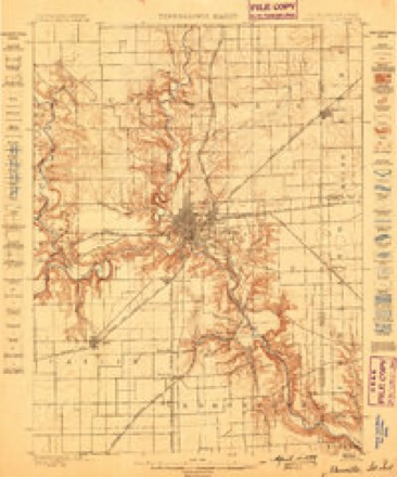
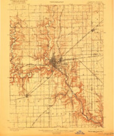
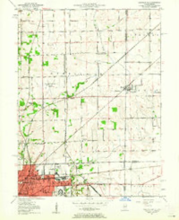
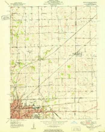
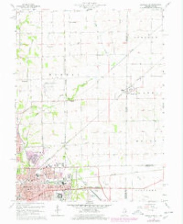
19 topographic sheets cover this place, the earliest surveyed in 1899 and the latest in 1987. It stands in Newell Township. It lies in ZIP code area 61814. The Survey maps it on the Danville NE quadrangle. It stands 732 feet above sea level.
Topographic sheets covering this place
10 surveys from 19 printed sheetsMatched by testing this settlement's coordinate against the published boundary of every sheet in the United States Geological Survey's historical collection. Each opens the scanned sheet at the Survey.
- 1899 USGS Danville quadrangle1:62500
- 1900 USGS Danville quadrangle1:62500, 7 printings
- 1950 USGS Danville NE quadrangle1:24000
- 1951 USGS Danville NE quadrangle1:24000
- 1953 USGS Danville quadrangle1:250000, 3 printings
- 1955 USGS Danville quadrangle1:250000
- 1956 USGS Danville quadrangle1:250000
- 1966 USGS Danville NE quadrangle1:24000, 2 printings
- 1984 USGS Danville quadrangle1:100000
- 1987 USGS Danville quadrangle1:100000





In the county-history sources
21,866 words on this townshipHistory of Vermilion County, Together with Historic Notes on the Northwest, Gleaned from Early Authors, Old Maps and Manuscripts, Private and Official Correspondence, and Other Authentic, Though, for the Most Part, Out-of-the-way Sources, published 1879 names this settlement in its chapter on Newell Township. These are the passages that mention it, exactly as the scans read.
The site of State Line City and Illiana was the western terminus of the Toledo & Wabash railroad. The Great Western, built and owned by another company, and a continuation of the same route to the southwest, about the same time formed a junction here, whereupon the town began immediate growth. State Line City was laid out in the spring of 1857, by Robert Casement, and on the suggestion of A. P. Andrews was christened by its present name. Not long afterward that part of the town lying on the Illinois side was laid out by Parker Dresser and Edward Martin, and designated Illiana - a name formed from the first two syllables of Illinois and the last two syllables of Indiana. Two engine-houses and a passenger depot with a large eating-house attached were at once erected by the railroad companies. Passengers changed cars, and all local freight was trans-shipped here. A large region, embracing the towns of Covington, Perry sville, Eugene, Rossville, Myersville and Marysville, shipped and received freight at this point. About forty railroad hands were kept employed. Some time during that season John Briar and A. P. Andrews, under the firm name of
Passage source: History of Vermilion County, Together with Historic Notes on the Northwest, Gleaned from Early Authors, Old Maps and Manuscripts, Private and Official Correspondence, and Other Authentic, Though, for the Most Part, Out-of-the-way Sources, published 1879.
James Cunningham, State Line City, Warren county, Indiana, was born near Pittsburgh, Pennsylvania, on the 5th of March, 1810, and is a son of William and Mary (Humes) Cunningham. His parents removed with him at an early age to Harrison county, Kentucky. There Wm. Cunningham and his sons, of whom he had seven, cleared one-half of a farm of one hundred and fifty acres. Much of the land in those parts was military land, and the titles were defective. Mr. C. paid for his land twice, when a third man presented himself and his title to the unimproved half (which was now fenced). Declining to buy this claim, he shortly after sold the remainder and removed to Vermilion county, Illinois, settling in Newell township in the fall of 1829. The subject of this sketch was married on the 8th of September, 1833, to Mary Andrews. He was bred to farming, and by hard labor and careful management acquired a good property. He was a member of Col. Moore's regiment during the Sac war. Shortly after his return from this campaign he improved a farm, on which he has always lived until within fourteen years, since which time he has resided in Illiana, doing no business. His son William occupies the old homestead. He is the father of four children : Hannah C, Ambrose F., William (3. and James A. In politics he is a republican. Both Mr. and Mrs. C. are Presbyterians.
Passage source: History of Vermilion County, Together with Historic Notes on the Northwest, Gleaned from Early Authors, Old Maps and Manuscripts, Private and Official Correspondence, and Other Authentic, Though, for the Most Part, Out-of-the-way Sources, published 1879.
Machine-read from a century-old scan, so expect the errors a machine makes: misspelled names, dropped words, stray characters.
Fires near this place
3 since 2004Regional context, not property-specific evidence. The federal wildfire occurrence database lists 3 fires within 5 miles of Illiana between 2004 and 2011, burning about 16 acres in total. None started naturally. None was recorded as arson. Distance is straight-line from the map coordinates, so a fire counted here may appear on a neighbouring settlement's page as well.
| Reported cause | Fires |
|---|---|
| Missing data/not specified/undetermined | 2 |
| Equipment and vehicle use | 1 |
The most recent of them, most recent first, with the day each was reported and the service that recorded it.
| Date | Cause | Size | Reported by | Name on the report |
|---|---|---|---|---|
| 23 September 2011 | Missing data/not specified/undetermined | 10 acres | Illinois Division of Forestry Resources | DANVILLE |
| 19 April 2004 | Missing data/not specified/undetermined | 4.0 acres | Illinois State Fire Marshal's Office | not named |
| 8 October 2010 | Equipment and vehicle use | 1.5 acres | Illinois Division of Forestry Resources | HUGHES |
Settlements close enough to share some of these fires:
Nearest settlements
The eight closest, with where each one stands in the county. Distances are straight-line, computed from the Geographic Names Information System coordinates.
| Map | Place | Distance | Sheets |
|---|---|---|---|
| Campbell | 2.5 miles | 19 | |
| Newell | 3.6 miles | 19 | |
| West Newell | 4.4 miles | 19 | |
| Walz | 4.5 miles | 19 | |
| Bismarck | 6.2 miles | 13 | |
| Denmark (historical) | 6.3 miles | 19 | |
| Beeler Terrace | 6.8 miles | 19 | |
| Danville | 7.2 miles | 20 |
Elsewhere
Matched on this settlement's Geographic Names Information System number rather than its name, so it cannot be a different place of the same name in another state.
| Wikipedia article on Illiana | An encyclopaedic summary. Its text is share-alike, so it is linked here rather than copied. |
| Wikidata item Q5999135 | The structured record the population and elevation above come from. Public domain (CC0). |
Provenance
This settlement is recorded in the Geographic Names Information System as feature 410753. The sheet list is computed by point-in-boundary test against the United States Geological Survey's historical topographic inventory. Both are works of the United States government and carry no copyright under 17 U.S.C. 105.
Wildfire. Short, Karen C. 2022. Spatial wildfire occurrence data for the United States, 1992-2020 [FPA_FOD_20221014]. 6th Edition. Fort Collins, CO: Forest Service Research Data Archive. https://doi.org/10.2737/RDS-2013-0009.6 Collected with United States Government funding and usable without additional permissions or fees.