 Block
Lee Center, Illinois
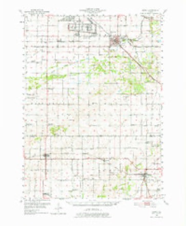
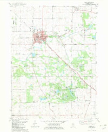
10 topographic sheets cover this place, the earliest surveyed in 1951 and the latest in 1985. It stands in Lee Center Township. It lies in ZIP code area 61310. The Survey maps it on the Amboy quadrangle. 146 people lived here at the 2020 count. It stands 794 feet above sea level.
Topographic sheets covering this place
5 surveys from 10 printed sheetsMatched by testing this settlement's coordinate against the published boundary of every sheet in the United States Geological Survey's historical collection. Each opens the scanned sheet at the Survey.
- 1951 USGS Amboy quadrangle1:62500, 3 printings
- 1958 USGS Aurora quadrangle1:250000, 3 printings
- 1961 USGS Aurora quadrangle1:250000
- 1982 USGS Amboy quadrangle1:24000
- 1985 USGS Dixon quadrangle1:100000, 2 printings



In the county-history sources
13,635 words on this townshipHistory of Lee County, published 1881 names this settlement in its chapter on Lee Center Township. These are the passages that mention it, exactly as the scans read.
The first object liable to attract the attention of the visitor is the old seminary. This building was erected in 1847, at a cost of $2,000. This school was for some years the principal educational point in this part of the state, and attracted to Lee Center many students from adjoining counties who wished to avail themselves of the excellent educational advantages the school then afforded. The branches taught were the same as are taught in our preparatory academies of the present day. A. J. Streetor, who has since that time attained a considerable prominence as a politician, and who was the greenback candidate for governor in the campaign of 1880, was at one time a student in this seminary. The school first opened in 1847. The first principal was
Passage source: History of Lee County, published 1881.
The Congregational Church. - This society was organized in 1843 at the residence of Moses Crombie, near Binghamton, in Amboy township ; the congregation then consisted of eleven members. First pastor was Rev. Joseph Gardner. The building now occupied by them was erected in 1856, at a cost of $1,500. The congregation now numbers fifty members, and is in a flourishing condition. Present pastor is the Rev. F. C. Cochran.
Passage source: History of Lee County, published 1881.
The only secret organization now in existence in Lee Center is the Masonic Lodge, No. 146. This lodge was organized on July 28, 1854 ; charter granted on October 2 of the same year. The first officers were A. P. Stinson, worshipful master; John Gilmore, senior warden ; Daniel Frost, junior warden ; Simeon Wright, secretary ; Lot Chadwick, treasurer. This was the second Masonic lodge oi-ganized in the county; and from the time of its organization to the present date 142 members have reached the degree of master mason. James A. Hawley, who was for two years grand master of the Grand Lodge, was here initiated into the mysteries of Masonr3\ The present membership of the organization is thirtj^-one members. Present officers are Wm. S. Frost, worshipful master; Wallace Hicks, senior warden; W. W. Depew, junior warden ; B. F. Lane, secretary ; Willard Salsbury, treasurer.
Passage source: History of Lee County, published 1881.
Machine-read from a century-old scan, so expect the errors a machine makes: misspelled names, dropped words, stray characters.
Read the whole chapter on Lee Center Township - it names this place 64 more 64 times.
Fires near this place
15 since 2008Regional context, not property-specific evidence. The federal wildfire occurrence database lists 15 fires within 5 miles of Lee Center between 2008 and 2018, burning about 129 acres in total. None started naturally. None was recorded as arson. Distance is straight-line from the map coordinates, so a fire counted here may appear on a neighbouring settlement's page as well.
| Reported cause | Fires |
|---|---|
| Missing data/not specified/undetermined | 9 |
| Debris and open burning | 5 |
| Other causes | 1 |
The most recent of them, most recent first, with the day each was reported and the service that recorded it.
| Date | Cause | Size | Reported by | Name on the report |
|---|---|---|---|---|
| 25 September 2010 | Missing data/not specified/undetermined | 1.0 acres | Illinois Division of Forestry Resources | 10226 |
| 6 May 2008 | Missing data/not specified/undetermined | 1.0 acres | Illinois Division of Forestry Resources | HULL |
| 7 April 2013 | Debris and open burning | 1.0 acres | Illinois Division of Forestry Resources | 13-81 |
| 7 April 2008 | Missing data/not specified/undetermined | 2.0 acres | Illinois Division of Forestry Resources | AMBOY |
| 20 April 2014 | Debris and open burning | 1.0 acres | Illinois Division of Forestry Resources | 14-97 |
| 17 April 2016 | Debris and open burning | under an acre | Illinois Division of Forestry Resources | 2016-63561 |
| 16 April 2008 | Missing data/not specified/undetermined | 1.0 acres | Illinois Division of Forestry Resources | ROAD |
| 12 April 2014 | Missing data/not specified/undetermined | 50 acres | Illinois Division of Forestry Resources | 14-90 |
Settlements close enough to share some of these fires:
Mines and quarries near this place
5 within 5 milesRegional context, not property-specific evidence. The federal mineral resources record lists 5 workings within 5 miles of Lee Center: 3 past producers, 2 producers. 2 still produce. What was taken out: Stone, Crushed/Broken. Distance is straight-line from the map coordinates, so a quarry counted here may appear on a neighbouring settlement's page as well.
| Where | Site | Commodity | Status | Recorded |
|---|---|---|---|---|
| Delhotal Quarry & Portable Mill | Stone, Crushed/Broken | Producer | ||
| Sheely's Quarry | Stone, Crushed/Broken | Producer | ||
| Steward Pit | Stone, Crushed/Broken | Past Producer | ||
| Unnamed Limestone Quarry | Stone, Crushed/Broken | Past Producer | ||
| Unnamed Limestone Quarry | Stone, Crushed/Broken | Past Producer |
Storms near this place
3 since 2008Regional context, not property-specific evidence. The National Weather Service names Lee Center in 3 storm reports between 2008 and 2019: 1 thunderstorm wind, 1 flash flood, 1 flood. No death or injury is recorded in these reports. Each account below is quoted exactly as the forecast office filed it, from the NOAA Storm Events Database, and each date opens the federal record of that event.
| When | Event | Place named | Harm | What the report says |
|---|---|---|---|---|
| May 2019 | Flood | Lee Center | - | Portions of a campground were evacuated due to flooding along the Green River. |
| June 2015 | Flash Flood | Lee Center | - | Route 52 at Route 39 was flooded and impassable. |
| June 2008 | Thunderstorm Wind | Lee Center | - | Trees 10 to 24 inches in diameter were snapped off near Route 52 and Route 30. |
Nearest settlements
The eight closest, with where each one stands in the county. Distances are straight-line, computed from the Geographic Names Information System coordinates.
| Map | Place | Distance | Sheets |
|---|---|---|---|
| Inlet | 2.2 miles | 10 | |
| Binghampton | 2.5 miles | 10 | |
| Amboy | 3.5 miles | 10 | |
| Shaws | 3.6 miles | 10 | |
| Shelburn (historical) | 5.0 miles | 10 | |
| Franklin Grove | 6.6 miles | 12 | |
| Eldena | 7.2 miles | 12 | |
| Sublette | 7.7 miles | 10 |
Elsewhere
Matched on this settlement's Geographic Names Information System number rather than its name, so it cannot be a different place of the same name in another state.
| Wikipedia article on Lee Center | An encyclopaedic summary. Its text is share-alike, so it is linked here rather than copied. |
| Wikidata item Q6513209 | The structured record the population and elevation above come from. Public domain (CC0). |
Provenance
This settlement is recorded in the Geographic Names Information System as feature 411909. The sheet list is computed by point-in-boundary test against the United States Geological Survey's historical topographic inventory. Both are works of the United States government and carry no copyright under 17 U.S.C. 105.
Wildfire. Short, Karen C. 2022. Spatial wildfire occurrence data for the United States, 1992-2020 [FPA_FOD_20221014]. 6th Edition. Fort Collins, CO: Forest Service Research Data Archive. https://doi.org/10.2737/RDS-2013-0009.6 Collected with United States Government funding and usable without additional permissions or fees.
Mines and quarries. USGS Mineral Resources Data System (MRDS) https://mrdata.usgs.gov/mrds/ A work of the United States government, no copyright under 17 U.S.C. 105.
Storms. NOAA National Centers for Environmental Information, Storm Events Database https://www.ncei.noaa.gov/stormevents/ A work of the United States government, no copyright under 17 U.S.C. 105. Narratives are quoted verbatim from the National Weather Service report and are not edited or summarised.