 Block
Lindenwood, Illinois
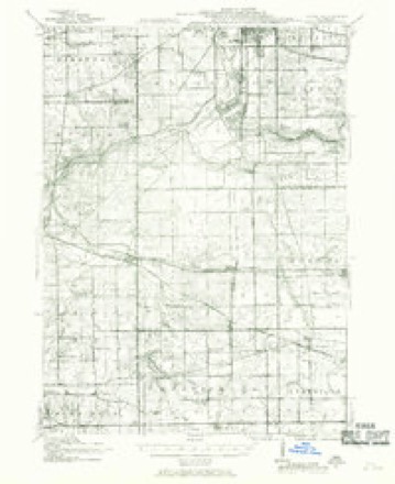
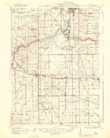
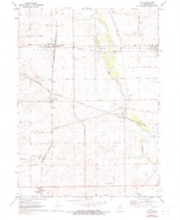
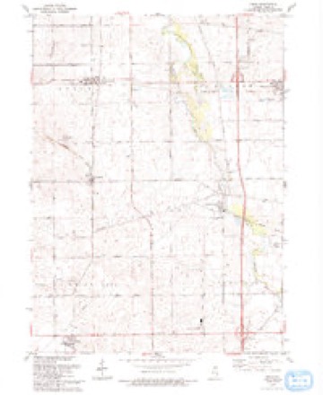
16 topographic sheets cover this place, the earliest surveyed in 1917 and the latest in 1993. It stands in Lynnville Township. It lies in ZIP code area 61049. It stands on Spring Run. The Survey maps it on the Kings quadrangle.
Topographic sheets covering this place
9 surveys from 16 printed sheetsMatched by testing this settlement's coordinate against the published boundary of every sheet in the United States Geological Survey's historical collection. Each opens the scanned sheet at the Survey.
- 1917 USGS Kings quadrangle1:62500
- 1918 USGS Kings quadrangle1:62500, 3 printings
- 1954 USGS Rockford quadrangle1:250000
- 1955 USGS Rockford quadrangle1:250000
- 1958 USGS Rockford quadrangle1:250000, 4 printings
- 1963 USGS Rockford quadrangle1:250000
- 1971 USGS Kings quadrangle1:24000, 2 printings
- 1981 USGS Rockford quadrangle1:100000, 2 printings
- 1993 USGS Kings quadrangle1:24000





In the county-history sources
424 words on this townshipPortrait and Biographical Album of Ogle County, Illinois, Containing Full Page Portraits and Biographical Sketches of Prominent and Representative Citizens of the County, published 1886 names this settlement in its chapter on Lynnville Township. These are the passages that mention it, exactly as the scans read.
Among the early settlers were Dr. Andrews, Lewis Piper, David Edrington, Calvin R. Hoadley, John Jenks, Calvin Hamlin and Elijah Dresser, Daniel Champion, Chas. Burroughs, Wm. Stocking, Mr. Phelps, David Fletcher, John C. Roberts and Mr. Campbell. The date of the first settlement was unknown by the persons interviewed for history, but was prior to 1840, and at the grove near the present post office of Lindenwood Dr. Andrews and Mr. Piper were quite prominent at an early day. Wm. Stocking is one of the most prominent men in Rochelle, the senior member of the banking house of Wm. Stocking & Co. Foranumber of years he was president of the Agricultural Society at Rochelle.
Passage source: Portrait and Biographical Album of Ogle County, Illinois, Containing Full Page Portraits and Biographical Sketches of Prominent and Representative Citizens of the County, published 1886.
Lyunville is a small settlement in the northwestern part of the township, at the edge of the Grove, its post office being Lindenwood. A store was started here about 1848, by Mr. Porter, who was subsequently burned out. At present there is a store kept by George Jones, a blacksmith shop, school house, church and about 20 dwelling houses. -
Passage source: Portrait and Biographical Album of Ogle County, Illinois, Containing Full Page Portraits and Biographical Sketches of Prominent and Representative Citizens of the County, published 1886.
Machine-read from a century-old scan, so expect the errors a machine makes: misspelled names, dropped words, stray characters.
Fires near this place
1 since 2005Regional context, not property-specific evidence. The federal wildfire occurrence database lists 1 fire within 5 miles of Lindenwood in 2005, burning under an acre in total. None started naturally. None was recorded as arson. Distance is straight-line from the map coordinates, so a fire counted here may appear on a neighbouring settlement's page as well.
| Reported cause | Fires |
|---|---|
| Missing data/not specified/undetermined | 1 |
The most recent of them, most recent first, with the day each was reported and the service that recorded it.
| Date | Cause | Size | Reported by | Name on the report |
|---|---|---|---|---|
| 28 April 2005 | Missing data/not specified/undetermined | under an acre | Illinois State Fire Marshal's Office | not named |
Settlements close enough to share some of these fires:
Mines and quarries near this place
4 within 5 milesRegional context, not property-specific evidence. The federal mineral resources record lists 4 workings within 5 miles of Lindenwood: 4 past producers. None of them still produces. What was taken out: Stone, Crushed/Broken. Distance is straight-line from the map coordinates, so a quarry counted here may appear on a neighbouring settlement's page as well.
| Where | Site | Commodity | Status | Recorded |
|---|---|---|---|---|
| Dummer Quarry | Stone, Crushed/Broken | Past Producer | ||
| Unnamed Limestone Quarry | Stone, Crushed/Broken | Past Producer | ||
| Unnamed Limestone Quarry | Stone, Crushed/Broken | Past Producer | ||
| Unnamed Limestone Quarry | Stone, Crushed/Broken | Past Producer |
Storms near this place
11 since 2008Regional context, not property-specific evidence. The National Weather Service names Lindenwood in 11 storm reports between 2008 and 2026: 6 thunderstorm wind, 3 tornado, 2 hail. No death or injury is recorded in these reports. Each account below is quoted exactly as the forecast office filed it, from the NOAA Storm Events Database, and each date opens the federal record of that event.
| When | Event | Place named | Harm | What the report says |
|---|---|---|---|---|
| June 2008 | Thunderstorm Wind | Lindenwood | $5,000 | A medium size grain bin was lifted off its foundation and laid over on its side in Lindenwood. |
| July 2024 | Tornado (EF0) | Lindenwood | - | A tornado with estimated peak winds of 75 mph touched down in far eastern Ogle County, just southwest of Esmond producing mainly crop damage before it quickly crossed into De Kalb County. |
| July 2023 | Thunderstorm Wind | Lindenwood | - | A number of trees were reported down in Lindenwood. |
| June 2021 | Thunderstorm Wind | Lindenwood | - | Numerous healthy pine trees were snapped several feet above the ground. Two of the trees landed on a garage causing damage. |
| June 2021 | Thunderstorm Wind | Lindenwood | - | Tree damage was reported in Lindenwood. A large shed on the south side of town lost all of its roof and part of a wall. A 60 foot tall communications tower was blown down. Photos of crop damage were shared on social media. |
| August 2021 | Tornado (EF0) | Lindenwood | - | A tornado with peak winds of 85 mph touched down just east of Interstate 39 and south of Route 64. Significant damage occurred to a farm outbuilding on South Chamberlain Road. The tornado damaged crops along its path in Ogle County and crossed into DeKalb County between Route 64 and Welty Road. |
| July 2020 | Thunderstorm Wind | Lindenwood | - | A large tree limb was blown down blocking Gibson Road near the De Kalb/Ogle County line. |
| April 2015 | Tornado (EF0) | Lindenwood | - | A brief satellite tornado formed over far eastern Ogle County. The tornado was confirmed during an aerial survey. (Tornado 3 of 7). |
| May 2014 | Hail | Lindenwood | - | Quarter size hail was reported on I-39 near mile marker 104. |
| May 2013 | Thunderstorm Wind | Lindenwood | - | Trees and wires were blown down. |
| April 2026 | Hail | Lindenwood | - | no account filed |
Nearest settlements
The eight closest, with where each one stands in the county. Distances are straight-line, computed from the Geographic Names Information System coordinates.
| Map | Place | Distance | Sheets |
|---|---|---|---|
| Monroe Center | 3.5 miles | 16 | |
| Holcomb | 3.5 miles | 16 | |
| Davis Junction | 4.7 miles | 16 | |
| White Rock Center | 5.0 miles | 16 | |
| Kings | 5.2 miles | 16 | |
| White Rock | 5.6 miles | 15 | |
| Vanland (historical) | 7.1 miles | 15 | |
| Hillcrest | 7.3 miles | 11 |
Provenance
This settlement is recorded in the Geographic Names Information System as feature 412230. The sheet list is computed by point-in-boundary test against the United States Geological Survey's historical topographic inventory. Both are works of the United States government and carry no copyright under 17 U.S.C. 105.
Wildfire. Short, Karen C. 2022. Spatial wildfire occurrence data for the United States, 1992-2020 [FPA_FOD_20221014]. 6th Edition. Fort Collins, CO: Forest Service Research Data Archive. https://doi.org/10.2737/RDS-2013-0009.6 Collected with United States Government funding and usable without additional permissions or fees.
Mines and quarries. USGS Mineral Resources Data System (MRDS) https://mrdata.usgs.gov/mrds/ A work of the United States government, no copyright under 17 U.S.C. 105.
Storms. NOAA National Centers for Environmental Information, Storm Events Database https://www.ncei.noaa.gov/stormevents/ A work of the United States government, no copyright under 17 U.S.C. 105. Narratives are quoted verbatim from the National Weather Service report and are not edited or summarised.