 Block
Monroe Center, Illinois
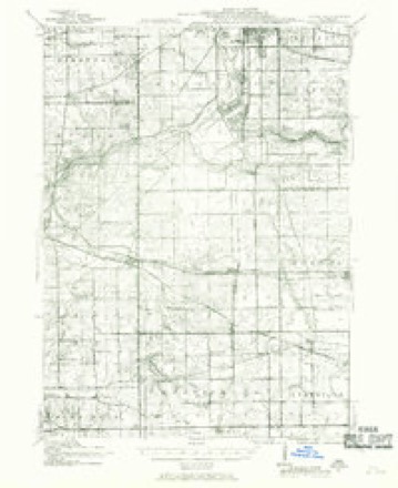
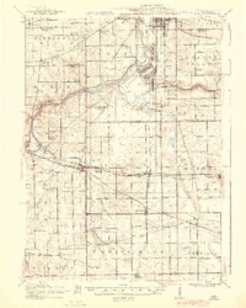
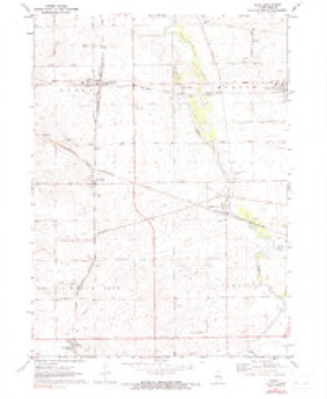
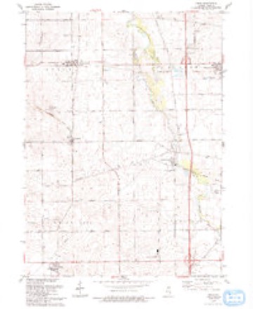
16 topographic sheets cover this place, the earliest surveyed in 1917 and the latest in 1993. It stands in Monroe Township. It lies in ZIP code area 61052. The Survey maps it on the Kings quadrangle.
Topographic sheets covering this place
9 surveys from 16 printed sheetsMatched by testing this settlement's coordinate against the published boundary of every sheet in the United States Geological Survey's historical collection. Each opens the scanned sheet at the Survey.
- 1917 USGS Kings quadrangle1:62500
- 1918 USGS Kings quadrangle1:62500, 3 printings
- 1954 USGS Rockford quadrangle1:250000
- 1955 USGS Rockford quadrangle1:250000
- 1958 USGS Rockford quadrangle1:250000, 4 printings
- 1963 USGS Rockford quadrangle1:250000
- 1971 USGS Kings quadrangle1:24000, 2 printings
- 1981 USGS Rockford quadrangle1:100000, 2 printings
- 1993 USGS Kings quadrangle1:24000





In the county-history sources
5,002 words on this townshipThe History of Ogle County, Illinois, Containing a History of the County, Its Cities, Towns, Etc., a Biographical Directory of Its Citizens, War Record of Its Volunteers in the Late Rebellion, General and Local Statistics ... History of the Northwest, History of Illinois ... Etc, published 1878 names this settlement in its chapter on Monroe Township. These are the passages that mention it, exactly as the scans read.
CRIL.L. JOHN J. Farmer, Stock : Dealer and Feeder, Raiser of Norman Horses and Short Horn Cattle ; Sec. 14 ; P. 0. Monroe Center; owns 500 acres of land, valued at $22,500 ; he was born May 12, 1825, in Steuben, Oneida Co., N. Y.; son of Henry Crill and Betsy
Passage source: The History of Ogle County, Illinois, Containing a History of the County, Its Cities, Towns, Etc., a Biographical Directory of Its Citizens, War Record of Its Volunteers in the Late Rebellion, General and Local Statistics ... History of the Northwest, History of Illinois ... Etc, published 1878.
Field ; was married Mar. 20, 1855, to Miss Lang M. Crill, who was born October 10, 1828, daughter of James and Susan Geiwitz Crill; they have three children - Resetta M., born May 20, 1858 ; Charles S., born April 8, 1860, and John B., born Dec. 8, 1861 ; father was a native of Bennington Co., Vt. ; leaving there in 1815 for Western New York, and from there to Kishwaukee. May 10, 1839, and to this place about June 1, 1839 ; father died here Aug, 29, 1872, aged 77 ; mother living here ; for first few weeks here, lived in a house made of goods boxes and rough boards ; mother and self last survivors of settlers here earlier than 1840 ; 8 years Supervisor ; has been Assessor and Collector ; owns 291 acres, valued at $20,000.
Passage source: The History of Ogle County, Illinois, Containing a History of the County, Its Cities, Towns, Etc., a Biographical Directory of Its Citizens, War Record of Its Volunteers in the Late Rebellion, General and Local Statistics ... History of the Northwest, History of Illinois ... Etc, published 1878.
Machine-read from a century-old scan, so expect the errors a machine makes: misspelled names, dropped words, stray characters.
Read the whole chapter on Monroe Township - it names this place 5 more 5 times.
Fires near this place
1 since 2017Regional context, not property-specific evidence. The federal wildfire occurrence database lists 1 fire within 5 miles of Monroe Center in 2017, burning under an acre in total. None started naturally. None was recorded as arson. Distance is straight-line from the map coordinates, so a fire counted here may appear on a neighbouring settlement's page as well.
| Reported cause | Fires |
|---|---|
| Missing data/not specified/undetermined | 1 |
The most recent of them, most recent first, with the day each was reported and the service that recorded it.
| Date | Cause | Size | Reported by | Name on the report |
|---|---|---|---|---|
| 3 February 2017 | Missing data/not specified/undetermined | under an acre | Illinois Division of Forestry Resources | 1700059/1700061 |
Settlements close enough to share some of these fires:
Mines and quarries near this place
8 within 5 milesRegional context, not property-specific evidence. The federal mineral resources record lists 8 workings within 5 miles of Monroe Center: 6 past producers, 2 producers. 2 still produce. What was taken out: Stone, Crushed/Broken, Sand and Gravel, Construction. Distance is straight-line from the map coordinates, so a quarry counted here may appear on a neighbouring settlement's page as well.
| Where | Site | Commodity | Status | Recorded |
|---|---|---|---|---|
| Rockview Pit | Sand and Gravel, Construction | Past Producer | ||
| Ault Quarry | Stone, Crushed/Broken | Producer | ||
| Dummer Quarry | Stone, Crushed/Broken | Past Producer | ||
| Ebens Quarry | Stone, Crushed/Broken | Past Producer | ||
| Pagel Pit | Stone, Crushed/Broken | Past Producer | ||
| Rock View Stone | Stone, Crushed/Broken | Producer | ||
| Unnamed Limestone Quarry | Stone, Crushed/Broken | Past Producer | ||
| Unnamed Limestone Quarry | Stone, Crushed/Broken | Past Producer |
Storms near this place
9 since 2011Regional context, not property-specific evidence. The National Weather Service names Monroe Center in 9 storm reports between 2011 and 2026: 5 thunderstorm wind, 3 hail, 1 tornado. No death or injury is recorded in these reports. Each account below is quoted exactly as the forecast office filed it, from the NOAA Storm Events Database, and each date opens the federal record of that event.
| When | Event | Place named | Harm | What the report says |
|---|---|---|---|---|
| July 2017 | Thunderstorm Wind | Monroe Center | $5,000 | Multiple power lines were blown down in northeast Ogle County. |
| April 2026 | Thunderstorm Wind | Monroe Center | - | An NWS employee reported roofing or other structural material on the road, as well as a downed tree at a farm just east of I-39. |
| July 2024 | Tornado (EF0) | Monroe Center | - | A tornado with estimated peak winds of 85 mph touched down near Interstate 39 and Route 72 where vehicles were reported flipped over on the northbound ramp from Route 72 to Interstate 39. The tornado moved east through Monroe Center where trees were snapped and uprooted as well as power lines blown down. The tornado turned to the northeast with a narrow path of crop damage observed in high resolution satellite imagery. The tornado ended in a field, north of Route 72 about halfway between Mulford Road and Willoughby Road. |
| June 2021 | Thunderstorm Wind | Monroe Center | - | A two foot diameter tree was blown down blocking a road, one mile south of Route 72. The tree was described as rotten in the middle. |
| June 2020 | Thunderstorm Wind | Monroe Center | - | Trees were uprooted and roof damage was reported. |
| June 2020 | Thunderstorm Wind | Monroe Center | - | An 18 inch diameter tree was blown down blocking Edson Road, between Willoughby and County Line Roads. |
| June 2017 | Hail | Monroe Center | - | Quarter size hail was reported 6 miles east southeast of New Millford. |
| May 2011 | Hail | Monroe Center | - | Nickel size hail was reported at Interstate 39 and Route 72. |
| July 2017 | Hail | Monroe Center | - | no account filed |
Nearest settlements
The eight closest, with where each one stands in the county. Distances are straight-line, computed from the Geographic Names Information System coordinates.
| Map | Place | Distance | Sheets |
|---|---|---|---|
| Lindenwood | 3.5 miles | 16 | |
| Vanland (historical) | 3.6 miles | 15 | |
| Davis Junction | 4.9 miles | 16 | |
| Holcomb | 5.5 miles | 16 | |
| White Rock Center | 8.1 miles | 16 | |
| White Rock | 8.3 miles | 15 | |
| Kings | 8.6 miles | 16 | |
| Stillman Valley | 9.5 miles | 15 |
Provenance
This settlement is recorded in the Geographic Names Information System as feature 413728. The sheet list is computed by point-in-boundary test against the United States Geological Survey's historical topographic inventory. Both are works of the United States government and carry no copyright under 17 U.S.C. 105.
Wildfire. Short, Karen C. 2022. Spatial wildfire occurrence data for the United States, 1992-2020 [FPA_FOD_20221014]. 6th Edition. Fort Collins, CO: Forest Service Research Data Archive. https://doi.org/10.2737/RDS-2013-0009.6 Collected with United States Government funding and usable without additional permissions or fees.
Mines and quarries. USGS Mineral Resources Data System (MRDS) https://mrdata.usgs.gov/mrds/ A work of the United States government, no copyright under 17 U.S.C. 105.
Storms. NOAA National Centers for Environmental Information, Storm Events Database https://www.ncei.noaa.gov/stormevents/ A work of the United States government, no copyright under 17 U.S.C. 105. Narratives are quoted verbatim from the National Weather Service report and are not edited or summarised.