 Block
Loran, Illinois
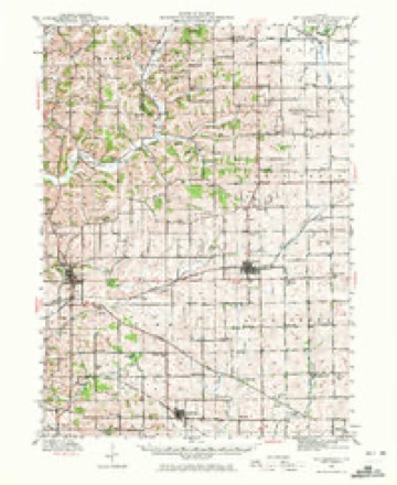
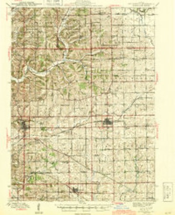
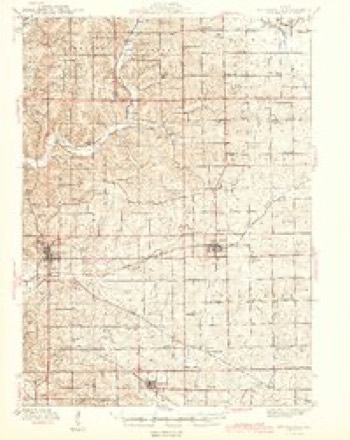
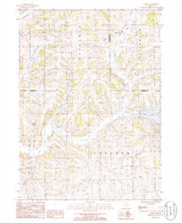
14 topographic sheets cover this place, the earliest surveyed in 1942 and the latest in 1985. It stands in Jefferson Township. It lies in ZIP code area 61062. The Survey maps it on the Loran quadrangle.
Topographic sheets covering this place
9 surveys from 14 printed sheetsMatched by testing this settlement's coordinate against the published boundary of every sheet in the United States Geological Survey's historical collection. Each opens the scanned sheet at the Survey.
- 1942 USGS Mt Carroll quadrangle1:62500, 2 printings
- 1944 USGS Mt Carroll quadrangle1:62500
- 1944 USGS Mt. Carroll quadrangle1:62500
- 1954 USGS Rockford quadrangle1:250000
- 1955 USGS Rockford quadrangle1:250000
- 1958 USGS Rockford quadrangle1:250000, 4 printings
- 1963 USGS Rockford quadrangle1:250000
- 1981 USGS Rockford quadrangle1:100000, 2 printings
- 1985 USGS Loran quadrangle1:24000





In the county-history sources
3,113 words on this townshipThe History of Stephenson County, Illinois : Containing ... Biographical Sketches ... War Record ... Statistics ... Portraits of Early Settlers ... History of the Northwest, History of Illinois, &c. .., published 1880 names this settlement in its chapter on Jefferson Township. These are the passages that mention it, exactly as the scans read.
Comprising the southwest corner of, and one of the smallest townships in, the county, is none the less productive and desirable. The country is rolling, with prairie and timber admirably intermingled, well watered, and inhabited by a population who secure for the estates under their control the highest degree of cultivation possible.
Passage source: The History of Stephenson County, Illinois : Containing ... Biographical Sketches ... War Record ... Statistics ... Portraits of Early Settlers ... History of the Northwest, History of Illinois, &c. .., published 1880.
As a part and parcel of Loran Tovvnship, the settlers who first became identified with that portion of the county are also to be included, without again being mentioned in the brief notice of the township under consideration. Yet those who settled in that portion of Loran now known as Jefferson should be mentioned fully and in detail, because to their efforts belong the honor of developing the country in the first instance, as also for procuring for Jefferson the capacity to act as an independent sovereign.
Passage source: The History of Stephenson County, Illinois : Containing ... Biographical Sketches ... War Record ... Statistics ... Portraits of Early Settlers ... History of the Northwest, History of Illinois, &c. .., published 1880.
The first settler of record who became a part and parcel of Jefferson Township is said to have been Hector C. Haight, who came into the country with his wife and family in 1837 ; entered a claim and built a house on the farm at present owned by Samuel Hays, about four miles from the village of Loran, on the road to Freeport.
Passage source: The History of Stephenson County, Illinois : Containing ... Biographical Sketches ... War Record ... Statistics ... Portraits of Early Settlers ... History of the Northwest, History of Illinois, &c. .., published 1880.
Machine-read from a century-old scan, so expect the errors a machine makes: misspelled names, dropped words, stray characters.
Read the whole chapter on Jefferson Township - it names this place 15 more 15 times.
Mines and quarries near this place
8 within 5 milesRegional context, not property-specific evidence. The federal mineral resources record lists 8 workings within 5 miles of Loran: 8 past producers. None of them still produces. What was taken out: Stone, Crushed/Broken, Limestone, General. Distance is straight-line from the map coordinates, so a quarry counted here may appear on a neighbouring settlement's page as well.
| Where | Site | Commodity | Status | Recorded |
|---|---|---|---|---|
| Hallelman Quarry | Limestone, General | Past Producer | ||
| Caudle Qy Formerly Msha #1100089 | Stone, Crushed/Broken | Past Producer | ||
| Dixon Pit | Stone, Crushed/Broken | Past Producer | ||
| Unnamed Limestone Quarry | Stone, Crushed/Broken | Past Producer | ||
| Unnamed Limestone Quarry | Stone, Crushed/Broken | Past Producer | ||
| Unnamed Limestone Quarry | Stone, Crushed/Broken | Past Producer | ||
| Unnamed Limestone Quarry | Stone, Crushed/Broken | Past Producer | ||
| Unnamed Limestone Quarry | Stone, Crushed/Broken | Past Producer |
Storms near this place
4 since 2006Regional context, not property-specific evidence. The National Weather Service names Loran in 4 storm reports between 2006 and 2020: 4 thunderstorm wind. No death or injury is recorded in these reports. Each account below is quoted exactly as the forecast office filed it, from the NOAA Storm Events Database, and each date opens the federal record of that event.
| When | Event | Place named | Harm | What the report says |
|---|---|---|---|---|
| August 2020 | Thunderstorm Wind | Loran | - | Widespread straight-line winds that produced extensive damage were reported throughout Stephenson County, associated with a derecho. These winds lasted around an hour in total in any one location, even though the initial line of storms moved out quickly. Damaging straight-line winds continued and were associated with the rear inflow jet. Maximum wind speeds were reported up to 80 mph These estimates were determined based off damage surveys and photos submitted through social media. These strong winds damaged many trees, crops, and a few structures in their path. |
| June 2016 | Thunderstorm Wind | Loran | - | Emergency management reported tree limbs down over portions of Stephenson county in and around Freeport. Some tree limbs blocked roads. Power outages reported from Loran through Freeport around 1020 PM. The time of this report is estimated from radar. |
| July 2014 | Thunderstorm Wind | Loran | - | Emergency Manager also reported winds sustained at 45 mph. |
| July 2006 | Thunderstorm Wind | Loran | - | measured 70 mph gust on the Jo Daviess/Stephenson line |
Nearest settlements
The eight closest, with where each one stands in the county. Distances are straight-line, computed from the Geographic Names Information System coordinates.
| Map | Place | Distance | Sheets |
|---|---|---|---|
| Pearl City | 4.9 miles | 14 | |
| Kent | 5.1 miles | 14 | |
| Yellow Creek | 5.6 miles | 14 | |
| Sunnyside | 8.4 miles | 14 | |
| Bolton | 9.8 miles | 14 | |
| Salem | 10.3 miles | 14 | |
| Eleroy | 10.4 miles | 14 | |
| Lena | 11.0 miles | 15 |
Elsewhere
Matched on this settlement's Geographic Names Information System number rather than its name, so it cannot be a different place of the same name in another state.
| Wikipedia article on Loran | An encyclopaedic summary. Its text is share-alike, so it is linked here rather than copied. |
| Wikidata item Q60756048 | The structured record the population and elevation above come from. Public domain (CC0). |
Provenance
This settlement is recorded in the Geographic Names Information System as feature 412635. The sheet list is computed by point-in-boundary test against the United States Geological Survey's historical topographic inventory. Both are works of the United States government and carry no copyright under 17 U.S.C. 105.
Mines and quarries. USGS Mineral Resources Data System (MRDS) https://mrdata.usgs.gov/mrds/ A work of the United States government, no copyright under 17 U.S.C. 105.
Storms. NOAA National Centers for Environmental Information, Storm Events Database https://www.ncei.noaa.gov/stormevents/ A work of the United States government, no copyright under 17 U.S.C. 105. Narratives are quoted verbatim from the National Weather Service report and are not edited or summarised.