 Block
Yellow Creek, Illinois
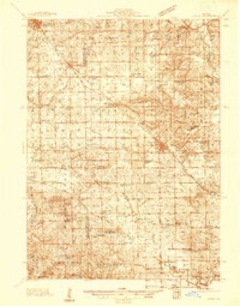
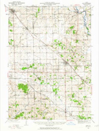
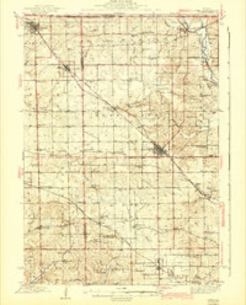
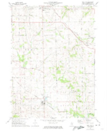
14 topographic sheets cover this place, the earliest surveyed in 1937 and the latest in 1981. It stands in Kent Township. It lies in ZIP code area 61062. The Survey maps it on the Pearl City quadrangle. It stands 853 feet above sea level.
Topographic sheets covering this place
9 surveys from 14 printed sheetsMatched by testing this settlement's coordinate against the published boundary of every sheet in the United States Geological Survey's historical collection. Each opens the scanned sheet at the Survey.
- 1937 USGS Lena quadrangle1:48000
- 1942 USGS Lena quadrangle1:62500
- 1943 USGS Lena quadrangle1:62500, 2 printings
- 1954 USGS Rockford quadrangle1:250000
- 1955 USGS Rockford quadrangle1:250000
- 1958 USGS Rockford quadrangle1:250000, 4 printings
- 1963 USGS Rockford quadrangle1:250000
- 1971 USGS Pearl City quadrangle1:24000
- 1981 USGS Rockford quadrangle1:100000, 2 printings





In the county-history sources
4,342 words on this townshipThe History of Stephenson County, Illinois : Containing ... Biographical Sketches ... War Record ... Statistics ... Portraits of Early Settlers ... History of the Northwest, History of Illinois, &c. .., published 1880 names this settlement in its chapter on Kent Township. These are the passages that mention it, exactly as the scans read.
This township comprises the east half of Township 27, Range 5, and the west half of Township 27, Range 6, with an aggregate of 22,700 acres, upward of 20,000 acres being under cultivation. The township is well watered by Yellow Creek and its numerous branches, and a fine growth of timber is to be found in the northern part.
Passage source: The History of Stephenson County, Illinois : Containing ... Biographical Sketches ... War Record ... Statistics ... Portraits of Early Settlers ... History of the Northwest, History of Illinois, &c. .., published 1880.
The old cabin, however, was first sold to a man named Lafayette, who in turn assigned his title to one by the name of Green, from Galena. The latter remained in possession until 1835, when James Timms became the purchaser, removing thither with his family the same year, the first permanent settler in the township, and the only settler at that date west of Freeport. In the fall of 1835, Jesse Willet came in, and settled at what is now known as Willet's bridge, below Timms', building a house there that is yet standing. Calvin and Jabez Giddings are said to have come about the same time and established themselves on Yellow Creek, four miles north of Timms'. During the winter of that year and the spring of 1836, there is no record of any one having ventured into the vicinity, wherein Timms and his neighbors held undisputed possession, and cultivated patches of corn and other grains. In the fall of 1836, Gilbert Osborn was added to the number of settlers already mentioned, and again was the colony remitted to quiet and relief from further incursions by pioneer plodders in the wilderness. In 1839, J. Reber settled one and a half miles northwest of Timms', and in the following year Frank Maginnis erected a cabin on the present farm of Jacob Gable. Benjamin Illingsworth settled near the Timms house, making that hospitable mansion a home while his cabin was without a roof to protect its owner from the inclemency of the weather.
Passage source: The History of Stephenson County, Illinois : Containing ... Biographical Sketches ... War Record ... Statistics ... Portraits of Early Settlers ... History of the Northwest, History of Illinois, &c. .., published 1880.
Previous to this last date, a mill had been erected on Yellow Creek by John and Frederick Reber, and, as it was near the center of the township, it was liberally patronized. Before its completion, the settlers had been obliged to procure the grinding of their cereals at Craig's mill, on Apple River, at Buffalo Creek in Ogle County, and elsewhere. The inhabitants obtained their supplies of bacon from Galena or Dixon, and when short of " hog-meat," indulged an appetite for game, which was to be found in abundance in the winter, on barrens and prairie. In 1837, a school was opened by William Ensign in the house of James Timras, where he taught the young idea, acknowledged by the Timms, Maginnis, Giddings and Willet families, the rudiments of reading, writing and arithmetic. By these and kindred means did the early pioneers of Kent Township not only dissipate dull care, but contributed in providing substantial means for future wealth and civilization.
Passage source: The History of Stephenson County, Illinois : Containing ... Biographical Sketches ... War Record ... Statistics ... Portraits of Early Settlers ... History of the Northwest, History of Illinois, &c. .., published 1880.
Machine-read from a century-old scan, so expect the errors a machine makes: misspelled names, dropped words, stray characters.
Read the whole chapter on Kent Township - it names this place 4 more 4 times.
Fires near this place
2 since 2004Regional context, not property-specific evidence. The federal wildfire occurrence database lists 2 fires within 5 miles of Yellow Creek in 2004, burning about 22 acres in total. None started naturally. None was recorded as arson. Distance is straight-line from the map coordinates, so a fire counted here may appear on a neighbouring settlement's page as well.
| Reported cause | Fires |
|---|---|
| Recreation and ceremony | 2 |
The most recent of them, most recent first, with the day each was reported and the service that recorded it.
| Date | Cause | Size | Reported by | Name on the report |
|---|---|---|---|---|
| 7 April 2004 | Recreation and ceremony | 20 acres | Illinois State Fire Marshal's Office | not named |
| 17 April 2004 | Recreation and ceremony | 2.0 acres | Illinois State Fire Marshal's Office | not named |
Settlements close enough to share some of these fires:
Mines and quarries near this place
10 of 11 shownRegional context, not property-specific evidence. The federal mineral resources record lists 11 workings within 5 miles of Yellow Creek: 7 past producers, 2 producers, 1 occurrence, 1 prospect. 2 still produce. What was taken out: Stone, Crushed/Broken, Sand and Gravel, Construction, Copper, Limestone, General. Distance is straight-line from the map coordinates, so a quarry counted here may appear on a neighbouring settlement's page as well.
| Where | Site | Commodity | Status | Recorded |
|---|---|---|---|---|
| Hallelman Quarry | Limestone, General | Past Producer | ||
| A & K Thompson Pit | Sand and Gravel, Construction | Past Producer | ||
| Erin Mound | Copper | Occurrence | ||
| Erin Mound | Copper | Prospect | ||
| Kent Gravel Pit | Sand and Gravel, Construction | Producer | ||
| Caudle Qy Formerly Msha #1100089 | Stone, Crushed/Broken | Past Producer | ||
| Lena Pit | Stone, Crushed/Broken | Producer | ||
| Unnamed Limestone Quarry | Stone, Crushed/Broken | Past Producer | ||
| Unnamed Limestone Quarry | Stone, Crushed/Broken | Past Producer | ||
| Unnamed Limestone Quarry | Stone, Crushed/Broken | Past Producer |
Nearest settlements
The eight closest, with where each one stands in the county. Distances are straight-line, computed from the Geographic Names Information System coordinates.
| Map | Place | Distance | Sheets |
|---|---|---|---|
| Kent | 2.4 miles | 14 | |
| Pearl City | 3.2 miles | 14 | |
| Sunnyside | 4.7 miles | 14 | |
| Salem | 4.9 miles | 14 | |
| Eleroy | 5.4 miles | 14 | |
| Lena | 5.4 miles | 15 | |
| Loran | 5.6 miles | 14 | |
| Waddams Grove | 7.9 miles | 14 |
Elsewhere
Matched on this settlement's Geographic Names Information System number rather than its name, so it cannot be a different place of the same name in another state.
| Wikipedia article on Yellow Creek | An encyclopaedic summary. Its text is share-alike, so it is linked here rather than copied. |
| Wikidata item Q8051699 | The structured record the population and elevation above come from. Public domain (CC0). |
Provenance
This settlement is recorded in the Geographic Names Information System as feature 423855. The sheet list is computed by point-in-boundary test against the United States Geological Survey's historical topographic inventory. Both are works of the United States government and carry no copyright under 17 U.S.C. 105.
Wildfire. Short, Karen C. 2022. Spatial wildfire occurrence data for the United States, 1992-2020 [FPA_FOD_20221014]. 6th Edition. Fort Collins, CO: Forest Service Research Data Archive. https://doi.org/10.2737/RDS-2013-0009.6 Collected with United States Government funding and usable without additional permissions or fees.
Mines and quarries. USGS Mineral Resources Data System (MRDS) https://mrdata.usgs.gov/mrds/ A work of the United States government, no copyright under 17 U.S.C. 105.