 Block
Meriden, Illinois
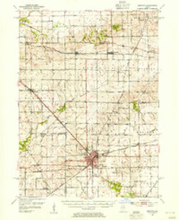
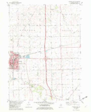
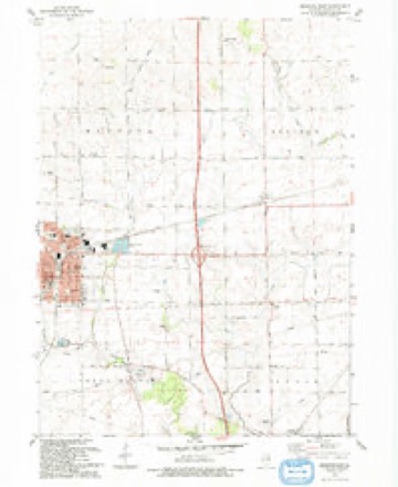
11 topographic sheets cover this place, the earliest surveyed in 1952 and the latest in 1993. It stands in Meriden Township. It lies in ZIP code area 60518. It stands on Fourmile Grove Creek. The Survey maps it on the Mendota East quadrangle.
Topographic sheets covering this place
6 surveys from 11 printed sheetsMatched by testing this settlement's coordinate against the published boundary of every sheet in the United States Geological Survey's historical collection. Each opens the scanned sheet at the Survey.
- 1952 USGS Mendota quadrangle1:62500, 3 printings
- 1958 USGS Aurora quadrangle1:250000, 3 printings
- 1961 USGS Aurora quadrangle1:250000
- 1982 USGS Mendota East quadrangle1:24000
- 1985 USGS Dixon quadrangle1:100000, 2 printings
- 1993 USGS Mendota East quadrangle1:24000



What happened here
An account from the chapter on Meriden township. The inset identifies its exact source book and publication year.
Fauna Of La Salle Cou
The Fauna of this locality, from the open and exposed character of the country, did not embrace those animals which delight fn the seclusion of the dense forest - the bear, the panther, was not known; or, if known, only as trosient visltors. But those adapted to the country appear, from the testimony of the Franeh explorers and other sources, to have existed in immenes numbent 11 was a country prolific of animal life - but limited tn species.
In the county-history sources
11,490 words on this townshipHistory of LaSalle County, Illinois : Its Topography, Geology, Botany, Natural History, History of the Mound Builders, Indian Tribes, French Explorations, and a Sketch of the Pioneer Settlers of Each Town to 1840, with an Appendix, Giving the Present Status of the County, Its Population, Resources, Manufactures and Institutions, published 1877 names this settlement in its chapter on Meriden Township. These are the passages that mention it, exactly as the scans read.
Township 36, Range 2, constitutes the town of Meriden. It is bounded on the north by the north line of the county, and is a prairie region, sur- rounded by prairie on all sides except a small grove on Sees. Sand 6, called Fonr-Mile Grove. Afew families pitched their tents around the little oasis in the middle of the wide prairie, in the year 1896, and these were all the early settlers.
Machine-read from a century-old scan, so expect the errors a machine makes: misspelled names, dropped words, stray characters.
Storms near this place
4 since 2023Regional context, not property-specific evidence. The National Weather Service names Meriden in 4 storm reports between 2023 and 2025: 3 hail, 1 thunderstorm wind. No death or injury is recorded in these reports. Each account below is quoted exactly as the forecast office filed it, from the NOAA Storm Events Database, and each date opens the federal record of that event.
| When | Event | Place named | Harm | What the report says |
|---|---|---|---|---|
| March 2023 | Thunderstorm Wind | Meriden | - | Two semi trucks were reported to had blown over on I-39 northeast of Mendota. Wind magnitude and time were estimated based on radar. |
| April 2023 | Hail | Meriden | - | A windshield was broken on Interstate 39 near mile marker 74 due to hail which was estimated to be ping pong ball size. |
| April 2023 | Hail | Meriden | - | Photos showed golf ball size hail near Meridan. |
| March 2025 | Hail | Meriden | - | no account filed |
Nearest settlements
The eight closest, with where each one stands in the county. Distances are straight-line, computed from the Geographic Names Information System coordinates.
| Map | Place | Distance | Sheets |
|---|---|---|---|
| Mendota | 4.8 miles | 11 | |
| Triumph | 5.0 miles | 20 | |
| Earlville | 6.0 miles | 8 | |
| Culton (historical) | 7.5 miles | 20 | |
| Troy Grove | 7.6 miles | 20 | |
| Peterstown | 7.9 miles | 19 | |
| Prairie Center | 8.8 miles | 25 | |
| Waltham | 9.6 miles | 20 |
Provenance
This settlement is recorded in the Geographic Names Information System as feature 413426. The sheet list is computed by point-in-boundary test against the United States Geological Survey's historical topographic inventory. Both are works of the United States government and carry no copyright under 17 U.S.C. 105.
Storms. NOAA National Centers for Environmental Information, Storm Events Database https://www.ncei.noaa.gov/stormevents/ A work of the United States government, no copyright under 17 U.S.C. 105. Narratives are quoted verbatim from the National Weather Service report and are not edited or summarised.