 Block
Rock Island, Illinois
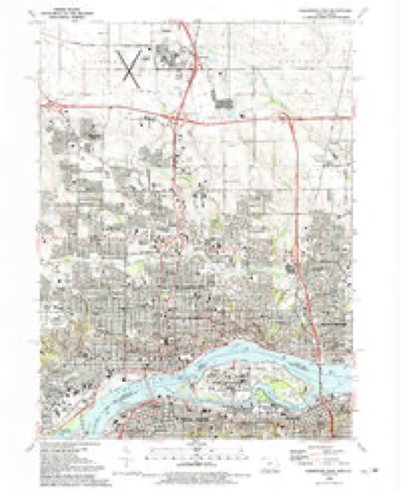
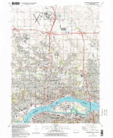
20 topographic sheets cover this place, the earliest surveyed in 1891 and the latest in 1993. It stands in Rock Island Township. It lies in ZIP code area 61201. It stands on Sylvan Slough. The Survey maps it on the Davenport East quadrangle. 37,108 people lived here at the 2020 count. It stands 604 feet above sea level.
On record in Rock Island
Buildings and businesses the archive holds for this place. Each opens its own page, with the source record it came from.
On the National Register 12 of 22 shown
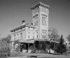 Rock Island ArsenalNational Historic Landmark · listed 1969
 Best Buildinglisted 2018
 Black Hawk Museum and Lodgelisted 1985
 Broadway Historic Districtlisted 1998
 Chippiannock Cemeterylisted 1994
 Connor Houselisted 1988
 Denkmann-Hauberg Houselisted 1972
 Fort Armstrong Hotellisted 1984
 Fort Armstrong Theatrelisted 1980
 Lincoln Schoollisted 1985
 Lock and Dam No. 15 Historic Districtlisted 2004
 Old Main, Augustana Collegelisted 1975
Population over time
2 figuresRock Island fell from 39,018 to 37,108 between 2010 and 2020. These are the recorded population figures Wikidata holds for this place, reached through the Geographic Names Information System number this page is keyed on rather than by name, so they belong to this place and not to another of the same name. Most are census counts, but not all are: an early figure may be a founding or settlement estimate, and an estimate published within five years of a census is left out. The change column is computed, and is left blank where more than 20 years separate a figure from the one before it, because a gap that long is not a change between two counts.
| Year | People | Change |
|---|---|---|
| 2010 | 39,018 | |
| 2020 | 37,108 | -1,910 (-5%) |
Topographic sheets covering this place
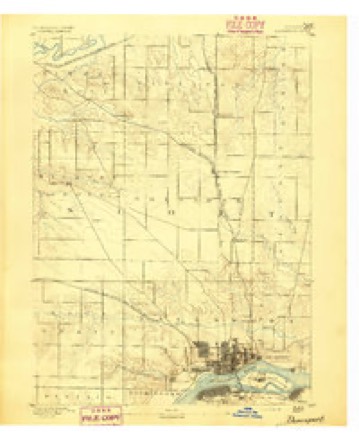
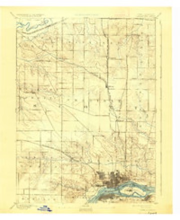
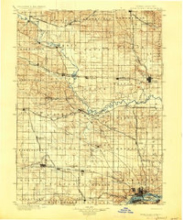
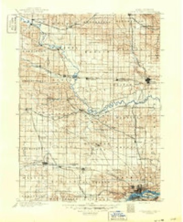
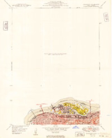
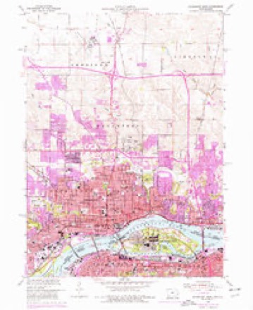
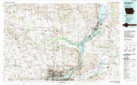
12 surveys from 20 printed sheetsMatched by testing this settlement's coordinate against the published boundary of every sheet in the United States Geological Survey's historical collection. Each opens the scanned sheet at the Survey.
- 1891 USGS Davenport quadrangle1:62500
- 1894 USGS Davenport quadrangle1:62500, 4 printings
- 1901 USGS Rock Island quadrangle1:125000, 2 printings
- 1910 USGS Rock Island quadrangle1:125000
- 1949 USGS Davenport quadrangle1:24000
- 1953 USGS Davenport East quadrangle1:24000, 3 printings
- 1958 USGS Davenport quadrangle1:250000, 2 printings
- 1961 USGS Davenport quadrangle1:250000
- 1962 USGS Davenport quadrangle1:250000
- 1984 USGS Davenport quadrangle1:100000, 2 printings
- 1991 USGS Davenport East quadrangle1:24000
- 1993 USGS Davenport East quadrangle1:24000



In the county-history sources
19,359 words on this townshipHistoric Rock Island County; History of the Settlement of Rock Island County from the Earliest Known Period to the Present Time ... Embracing References of Importance, and Including a Biography of Rock Island County's Well-known Citizens, published 1908 names this settlement in its chapter on Rock Island Township. These are the passages that mention it, exactly as the scans read.
A history of the towns of Rock Island and Moline would apparently be similar and coincident to the history of the cities of Rock Island and Moline, the two towns being the corporate limits of the two cities. The date of the formation of these two townships is noted in Township Organization.
Passage source: Historic Rock Island County; History of the Settlement of Rock Island County from the Earliest Known Period to the Present Time ... Embracing References of Importance, and Including a Biography of Rock Island County's Well-known Citizens, published 1908.
The City of Rock Island was preceded by the Town of Farnhamsburg. the first settlement on this side of the river within the ])resent City limits. Here the first house was built by Colonel Davenport and Russell Farnham. partners in the Indian trade, in 1826. It stood near the landing from old Fort Armstrong, about a block south of the southern approach to the present railroad bridge over Sylvan Water, and on an elevated lime stone knoll. The county road from the east ran in front of it. and turned from the Moline road to the west of the Lemuel Andrews residence - now Honorable Ben T. Cable's residence - and down along where is now the Hurlington and ^lilwaukee Railroad tracks, until it reached Twenty-fom-th Street, where it met old Illinois Street, now Second Avenue. The house was a noted place in the early history of Rock Island County. Here the County Covernment was formed, the first elections held, and the first postoffice established; it was the seat of the Circuit and County Courts from 1833 to 1835. In the latter year, this original seat of justice of the county was sui^erseded by the Town of Stephenson, and a laid out in what is now the lower ])art of the City of Rock Lsland. It was laid out by the commissioners authorized by the Legislature to establish the seat of justice for Rock Island County, anil contained the old county grounds, with a ])ortion of the county buildings. There are still standing many of the earlier buildings erected by the pioneers and here were inaugurated man}' of the first institutions of Rock Island. Stephenson was the cradle of Rock Island, the nursery of much of that intellectual and social life which has since expanded into the laraor and intenser life of the cit\-.
Passage source: Historic Rock Island County; History of the Settlement of Rock Island County from the Earliest Known Period to the Present Time ... Embracing References of Importance, and Including a Biography of Rock Island County's Well-known Citizens, published 1908.
This had reference to the Summer of 1838, when the writer, Mr. C. McGrew, came up the river. In all the distance described, from Quincy to the lead mines at Galena, Stephenson was then the most noted steamboat landing. Here for manj^ years, travelers from the "Sangamon Country" and Fort Clark, reached the river on their way to Galena, and the mineral regions north.
Passage source: Historic Rock Island County; History of the Settlement of Rock Island County from the Earliest Known Period to the Present Time ... Embracing References of Importance, and Including a Biography of Rock Island County's Well-known Citizens, published 1908.
Machine-read from a century-old scan, so expect the errors a machine makes: misspelled names, dropped words, stray characters.
Read the whole chapter on Rock Island Township - it names this place 118 more 118 times.
Fires near this place
31 since 2006Regional context, not property-specific evidence. The federal wildfire occurrence database lists 31 fires within 5 miles of Rock Island between 2006 and 2011, burning about 9 acres in total. 2 started naturally. None was recorded as arson. Distance is straight-line from the map coordinates, so a fire counted here may appear on a neighbouring settlement's page as well.
| Reported cause | Fires |
|---|---|
| Missing data/not specified/undetermined | 16 |
| Smoking | 6 |
| Debris and open burning | 4 |
| Power generation/transmission/distribution | 2 |
| Natural | 2 |
| Equipment and vehicle use | 1 |
The most recent of them, most recent first, with the day each was reported and the service that recorded it.
| Date | Cause | Size | Reported by | Name on the report |
|---|---|---|---|---|
| 23 September 2009 | Smoking | under an acre | Illinois Division of Forestry Resources | IDNR2 |
| 16 September 2009 | Smoking | under an acre | Illinois Division of Forestry Resources | I280 11 |
| 11 September 2009 | Debris and open burning | under an acre | Illinois Division of Forestry Resources | IDNR |
| 6 August 2008 | Equipment and vehicle use | under an acre | Illinois Division of Forestry Resources | CANAL |
| 30 August 2010 | Missing data/not specified/undetermined | under an acre | Illinois Division of Forestry Resources | UNION |
| 16 August 2008 | Missing data/not specified/undetermined | 2.0 acres | Illinois Division of Forestry Resources | MM15 |
| 11 August 2008 | Missing data/not specified/undetermined | under an acre | Illinois Division of Forestry Resources | EAST |
| 5 July 2010 | Power generation/transmission/distribution | under an acre | Illinois Division of Forestry Resources | MILAN |
Settlements close enough to share some of these fires:
Mines and quarries near this place
7 within 5 milesRegional context, not property-specific evidence. The federal mineral resources record lists 7 workings within 5 miles of Rock Island: 4 past producers, 2 producers, 1 plant. 3 still produce. What was taken out: Stone, Crushed/Broken, Sand and Gravel, Construction. Distance is straight-line from the map coordinates, so a quarry counted here may appear on a neighbouring settlement's page as well.
| Where | Site | Commodity | Status | Recorded |
|---|---|---|---|---|
| Big Island Plant #51 Dredge | Sand and Gravel, Construction | Producer | ||
| Builders Sand and Gravel Co. Dredge | Sand and Gravel, Construction | Producer | ||
| General Pit No. 3 Milan Plant | Sand and Gravel, Construction | Past Producer | ||
| Allied Stone Plant #30 | Stone, Crushed/Broken | Plant | ||
| Bettendorf Stone Co. Quarry | Stone, Crushed/Broken | Past Producer | ||
| Rock Island City Eng. | Stone, Crushed/Broken | Past Producer | ||
| U. S. Army Engineers | Stone, Crushed/Broken | Past Producer |
Storms near this place
1 since 1994Regional context, not property-specific evidence. The National Weather Service names Rock Island in 1 storm report in 1994: 1 hail. No death or injury is recorded in these reports. Each account below is quoted exactly as the forecast office filed it, from the NOAA Storm Events Database, and each date opens the federal record of that event.
| When | Event | Place named | Harm | What the report says |
|---|---|---|---|---|
| April 1994 | Hail | Rock Island | - | On the evening of the 14th, and the early morning hours of the 15th, numerous thunderstorms moved across the Mississippi River bringing with them isolated wind and hail storms. Reports were received of 50 and 60 mph winds and three-quarter inch to one inch hail, but damage was minor. At 0145 CST lightning struck a tree in Reynolds, Illinois, followed by wind damage to metal shed. Shortly before 0200 CST, Port Byron, Illinois reported three-quarter inch to one inch hail. |
Nearest settlements
The eight closest, with where each one stands in the county. Distances are straight-line, computed from the Geographic Names Information System coordinates.
| Map | Place | Distance | Sheets |
|---|---|---|---|
| Moline | 3.4 miles | 20 | |
| Milan | 3.9 miles | 23 | |
| Fruitland | 4.2 miles | 23 | |
| Bridgeway Addition | 4.7 miles | 23 | |
| Ginger Hill | 5.0 miles | 23 | |
| Oak Grove | 6.8 miles | 23 | |
| East Moline | 7.2 miles | 21 | |
| Coyne Center | 7.3 miles | 23 |
Elsewhere
Matched on this settlement's Geographic Names Information System number rather than its name, so it cannot be a different place of the same name in another state.
| Wikipedia article on Rock Island | An encyclopaedic summary. Its text is share-alike, so it is linked here rather than copied. |
| Wikidata item Q577878 | The structured record the population and elevation above come from. Public domain (CC0). |
Provenance
This settlement is recorded in the Geographic Names Information System as feature 416820. The sheet list is computed by point-in-boundary test against the United States Geological Survey's historical topographic inventory. Both are works of the United States government and carry no copyright under 17 U.S.C. 105.
Wildfire. Short, Karen C. 2022. Spatial wildfire occurrence data for the United States, 1992-2020 [FPA_FOD_20221014]. 6th Edition. Fort Collins, CO: Forest Service Research Data Archive. https://doi.org/10.2737/RDS-2013-0009.6 Collected with United States Government funding and usable without additional permissions or fees.
Mines and quarries. USGS Mineral Resources Data System (MRDS) https://mrdata.usgs.gov/mrds/ A work of the United States government, no copyright under 17 U.S.C. 105.
Storms. NOAA National Centers for Environmental Information, Storm Events Database https://www.ncei.noaa.gov/stormevents/ A work of the United States government, no copyright under 17 U.S.C. 105. Narratives are quoted verbatim from the National Weather Service report and are not edited or summarised.